Log in
All resources
Create a design
Tools
357,549 Free Images of Map
pages with maps
cc-zero
quality images
quality images by jebulon
quality images missing sdc depicts
architecture
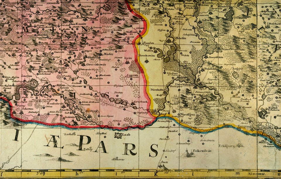
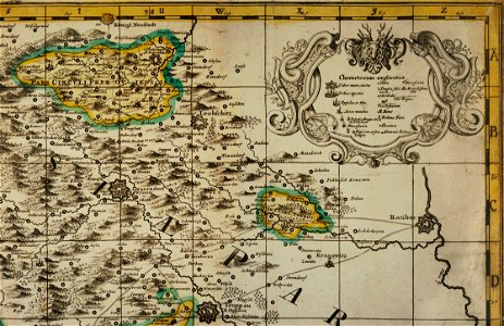
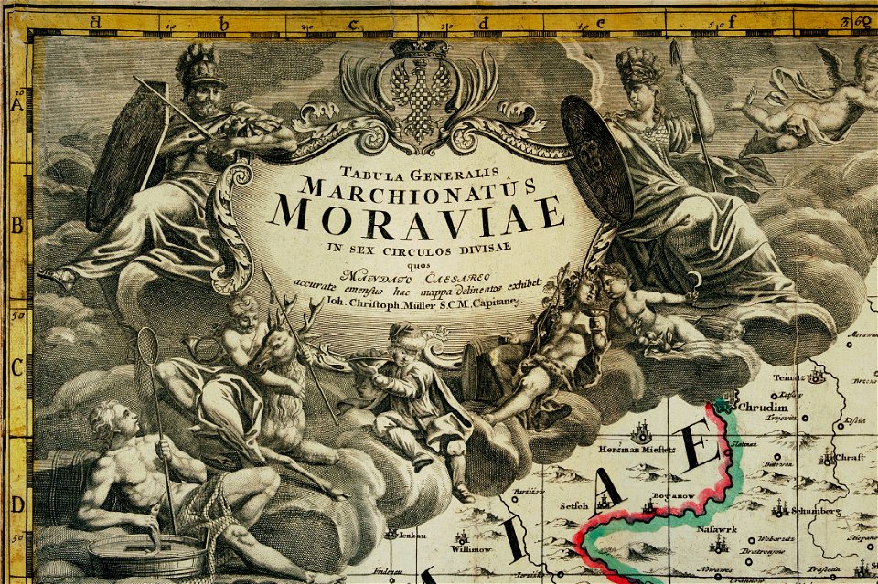
müller's map of moravia
valued images sorted by promotion date
valued images by jebulon
valued images missing sdc depicts
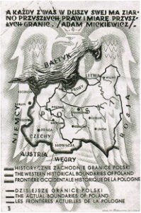
greater poland
map postcards
maps made in the 17th century
frederick de wit
atlantis magni tomus tertius (biblioteca comunale di trento)
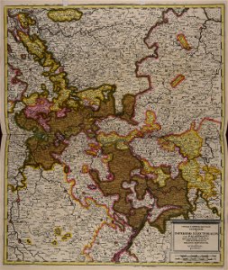
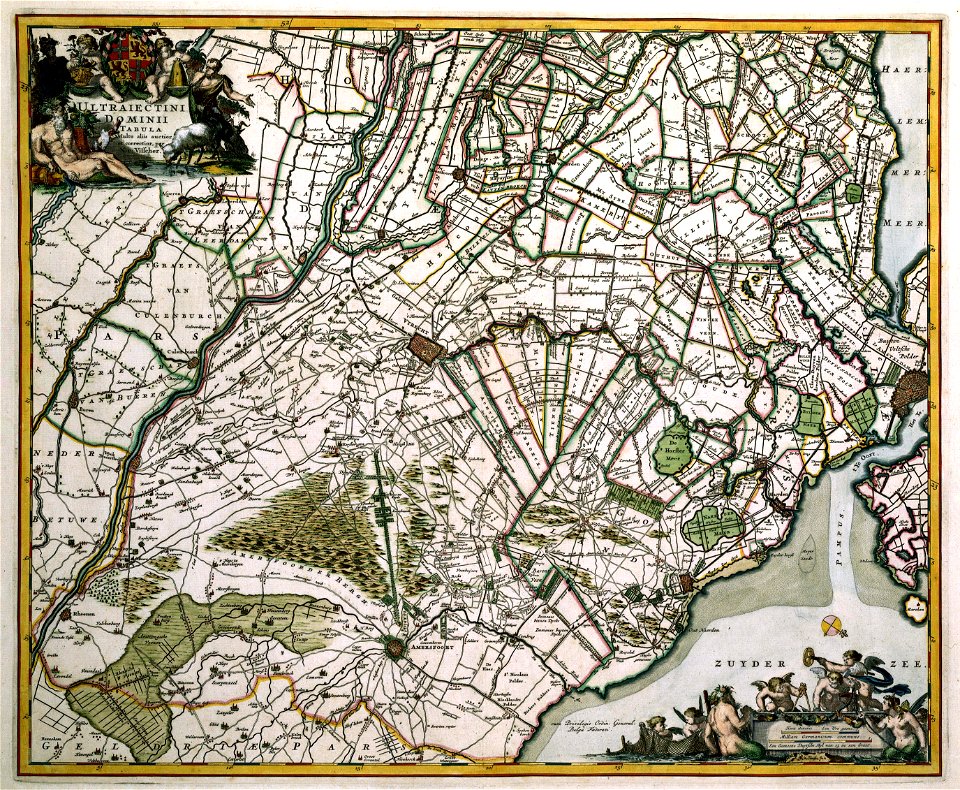
maps of territories in the electoral rhenish circle
maps with cartouches
atlas van der hagen
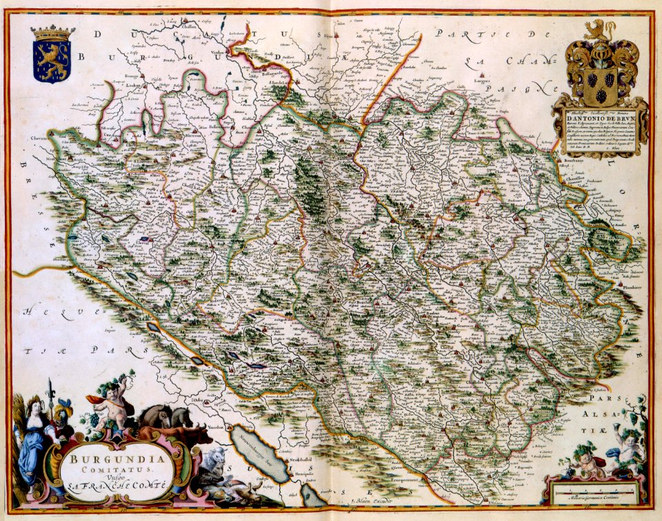
17th-century maps of france
maps with cartouches
maps with cartouches
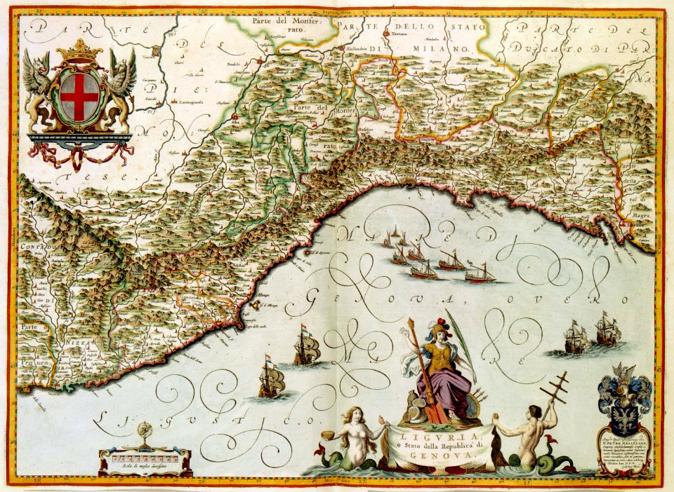
old maps of genoa
old maps of amsterdam
maps with cartouches
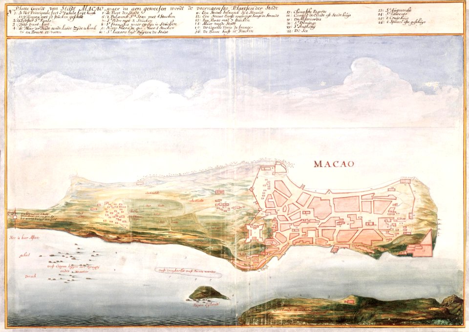
17th-century maps of china
maps with cartouches
1872 engravings
wood engraving
atlantis magni tomus quintus (biblioteca comunale di trento)
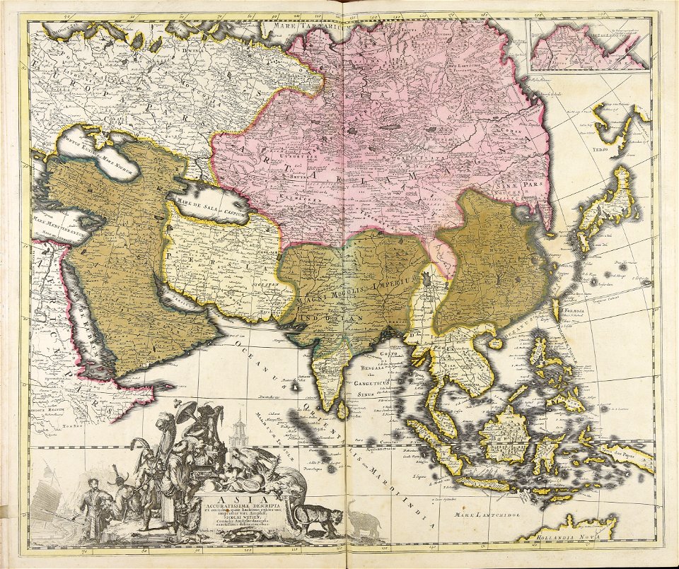
18th-century maps of asia
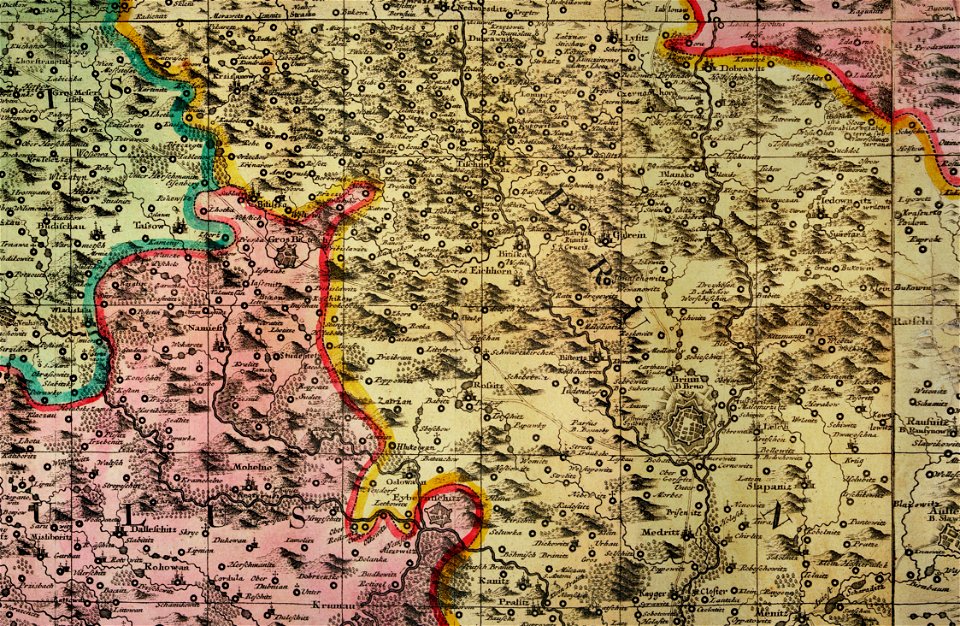
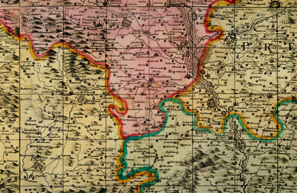
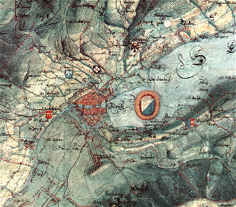
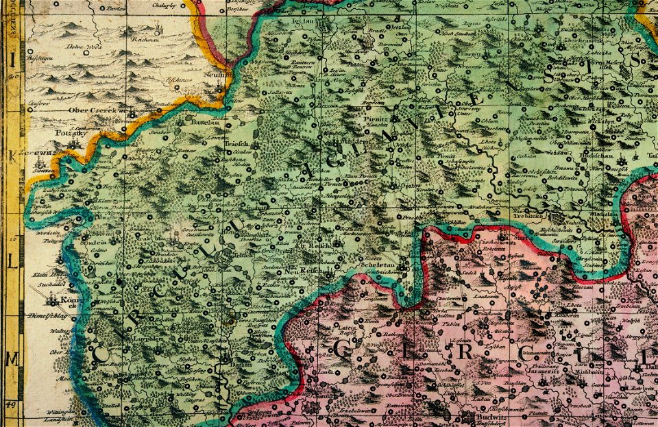
müller's map of moravia
müller's map of moravia
müller's map of moravia
müller's map of moravia
müller's map of moravia
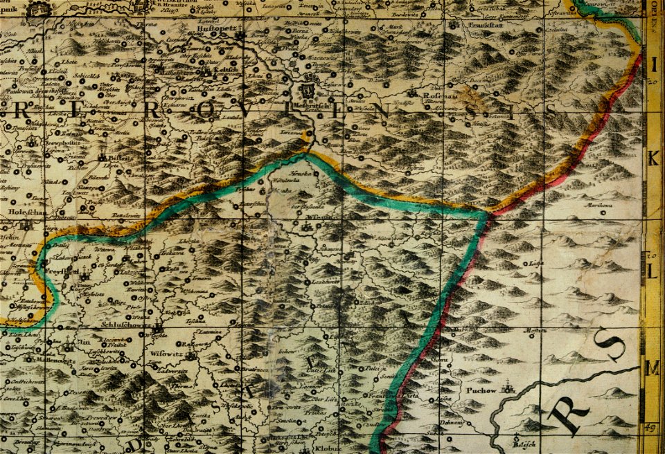
müller's map of bohemia
müller's map of moravia
müller's map of moravia
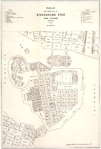
old maps of stockholm by georg biurman
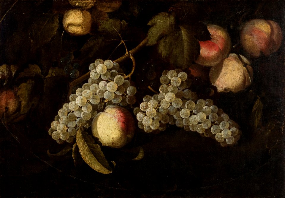
drawings in the museu antônio parreiras
paintings in the museu antônio parreiras
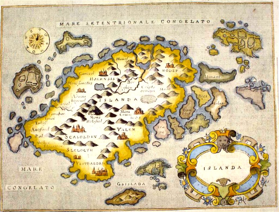
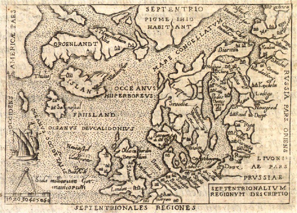
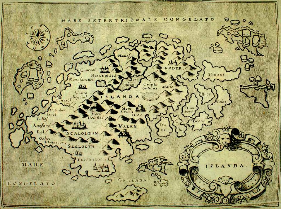
provided by landsbókasafn íslands
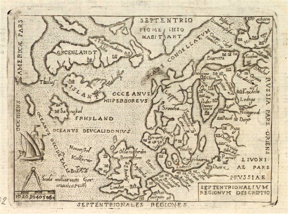
old maps of iceland
provided by landsbókasafn íslands
old maps of iceland
paintings in the museu antônio parreiras
paintings in the museu antônio parreiras
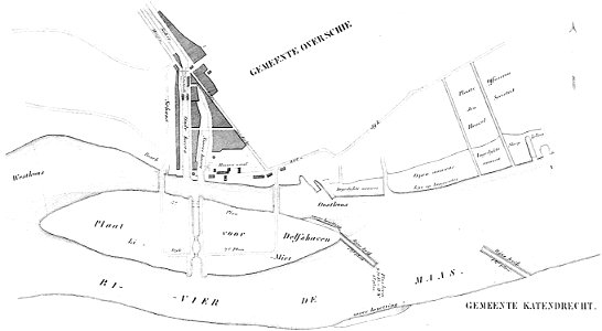
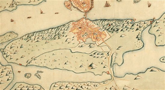
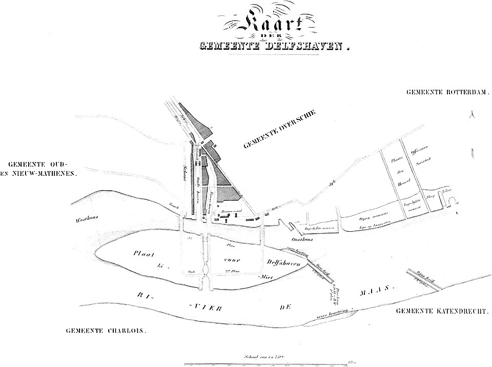
maps of delfshaven
map of gouda by jacob van deventer
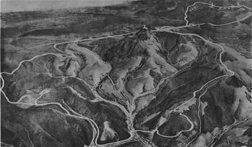
nürburgring circuit maps
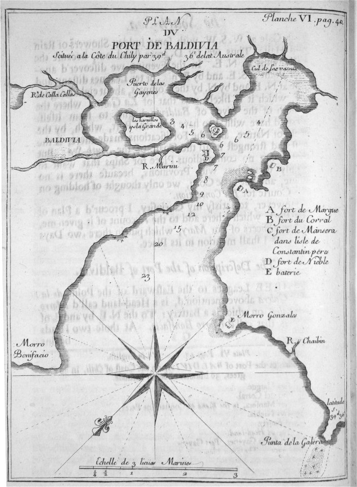
old maps of valdivia
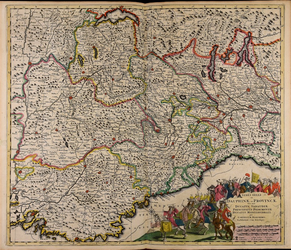
frézier's travel
stadtbefestigung rinteln
maps of rinteln
old map of stockholm 1642
södermalm
maps of bagnolet
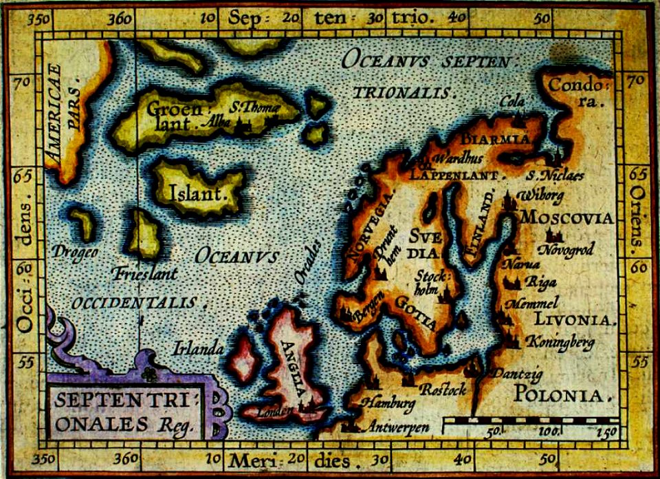
provided by landsbókasafn íslands
old maps of iceland
provided by landsbókasafn íslands
old maps of iceland
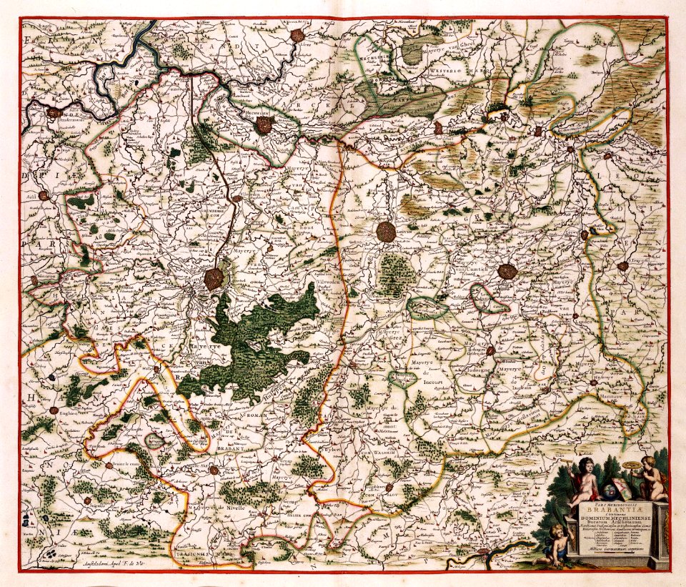
flandria illustrata
old maps of gistel
thomas salmon (historian)
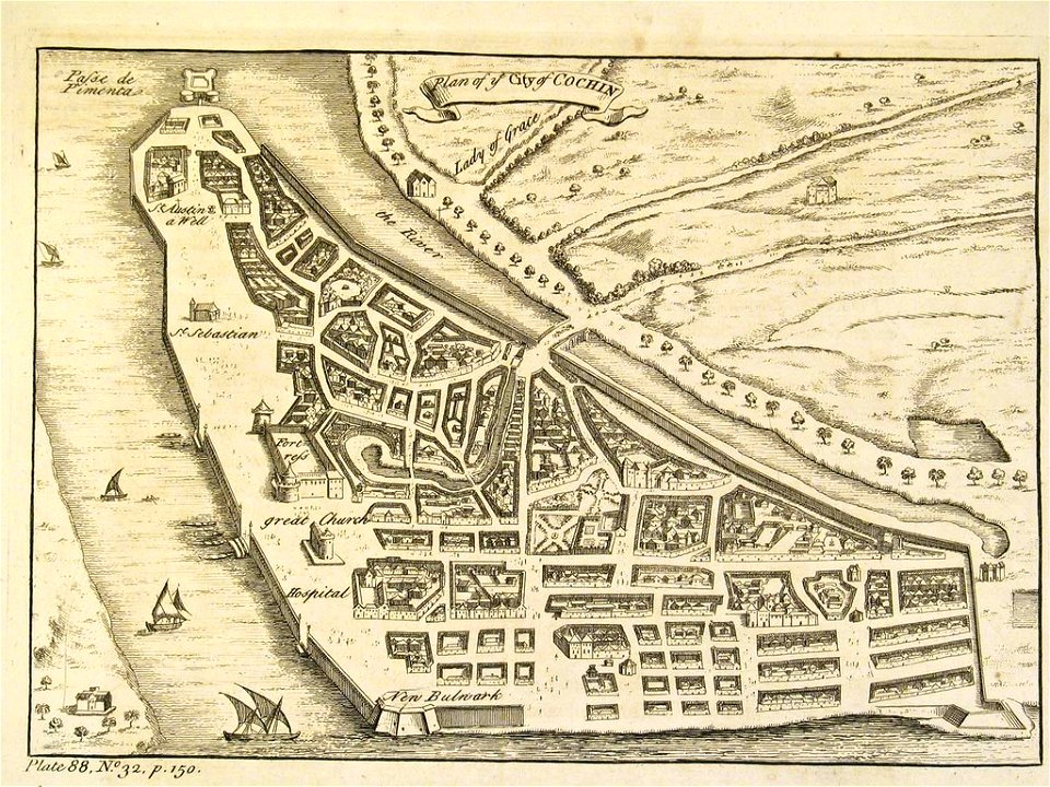
old maps of india
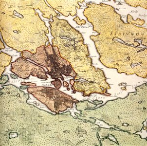
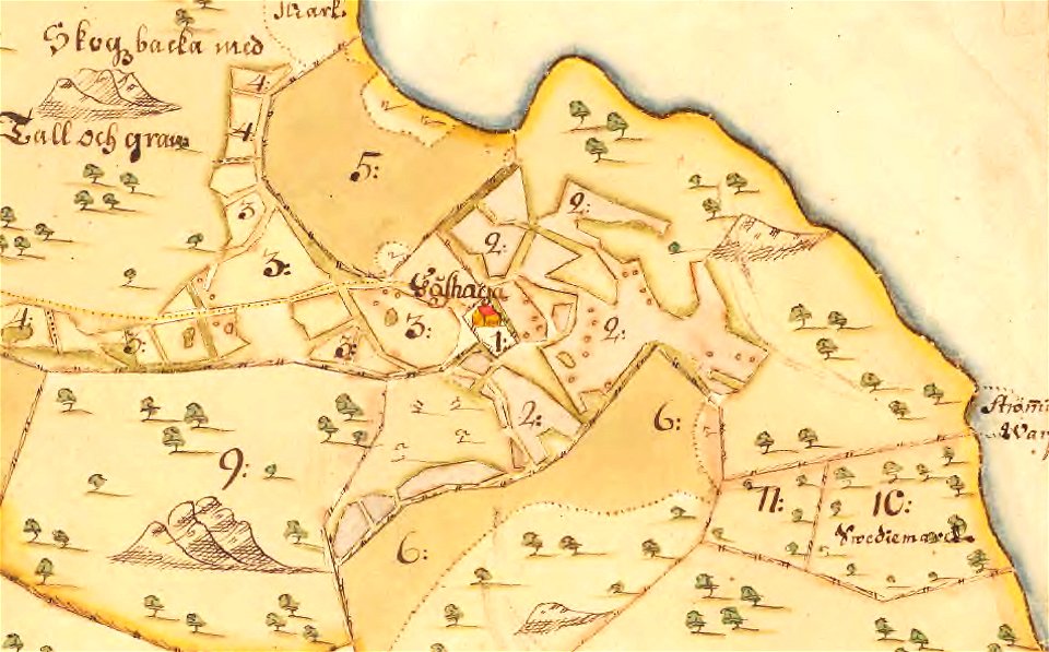
maps of lidingö
gåshaga gård
university of toronto wenceslas hollar digital collection
staffordshire
maps made in the 17th century
cornelis danckerts (i)
maps with cartouches
old maps of france
atlas van der hagen
copper engraving
maps with cartouches
atlas van der hagen
maps made in the 17th century
gerard valck
maps made in the 17th century
gerard valck
maps of waterways in the netherlands
collections of stadsarchief delft
maps made in the 17th century
gerard valck
maps made in the 17th century
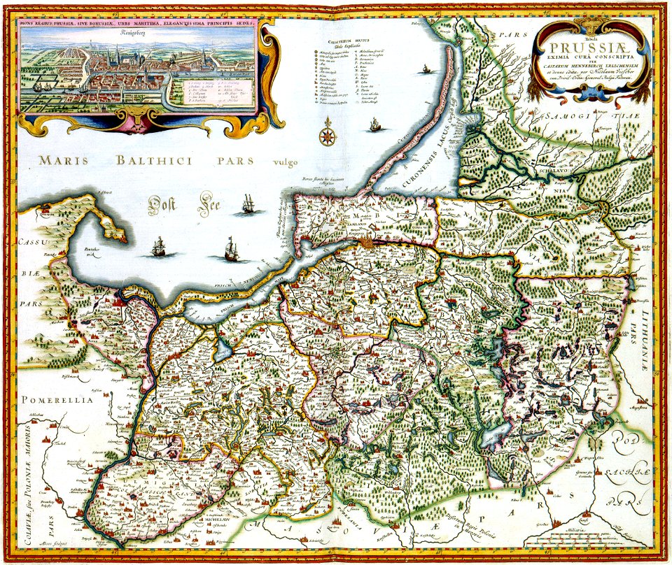
adam olearius
maps
usa
maps
usa
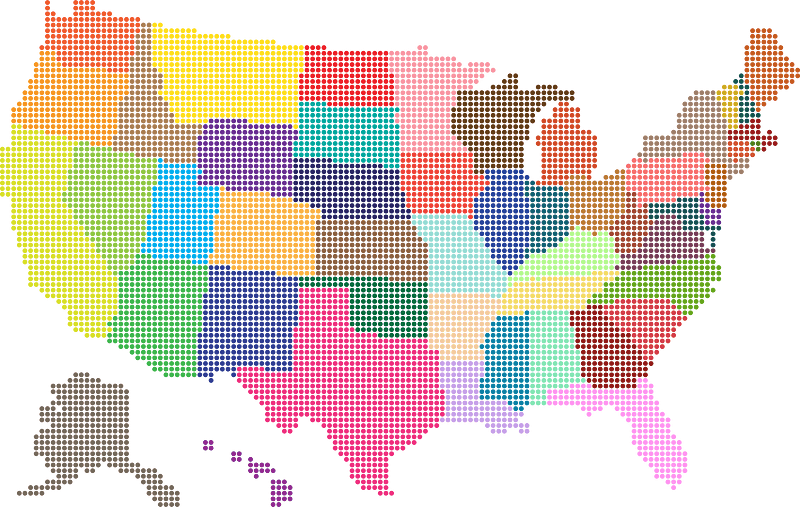
maps
usa
maps
usa
february 2016 denmark photographs
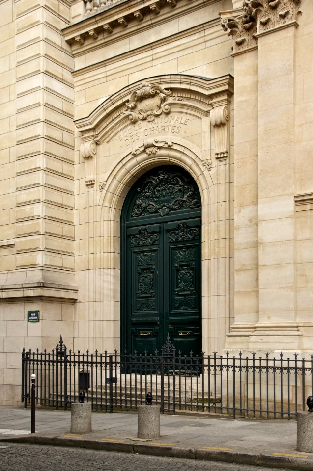
architecture
self-published work
architecture
architecture
travel
self-published work
pages with maps
architecture
village
self-published work
architecture
architecture
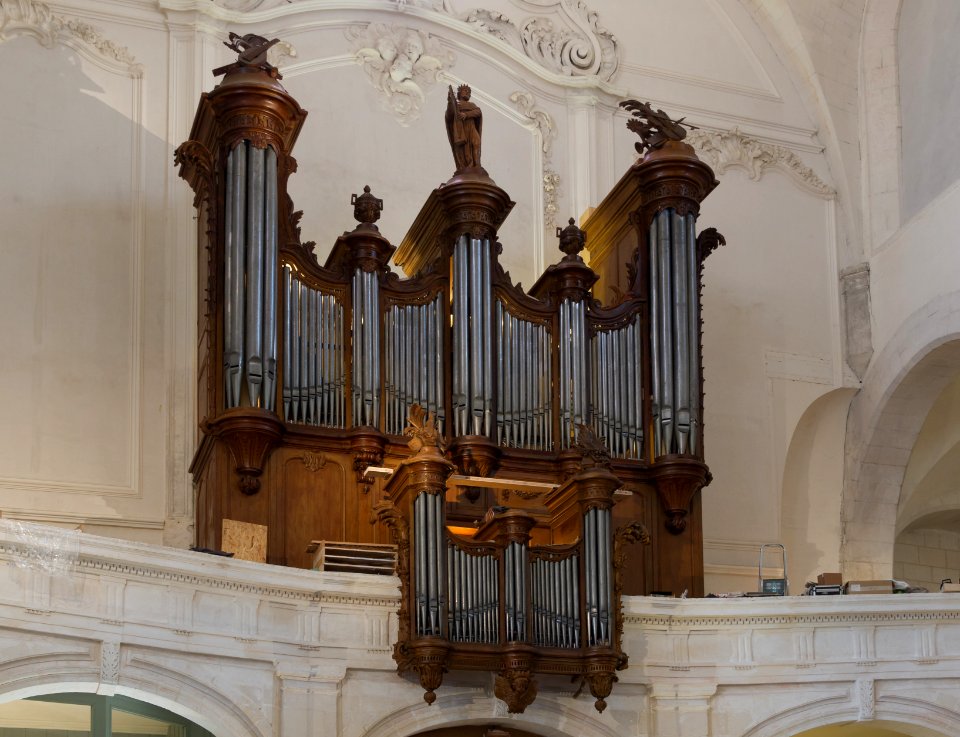
inside
self-published work
pages with maps
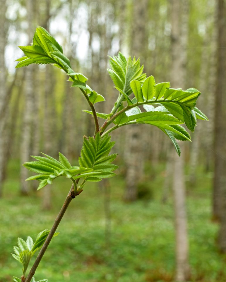
forest
spring
metal fences in paris
architecture
provided by landsbókasafn íslands
old maps of iceland
17th-century maps of stockholm
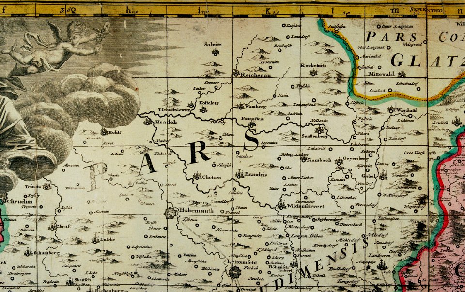
old maps of silesia
duchy of jauer
bouwkundige bijdragen
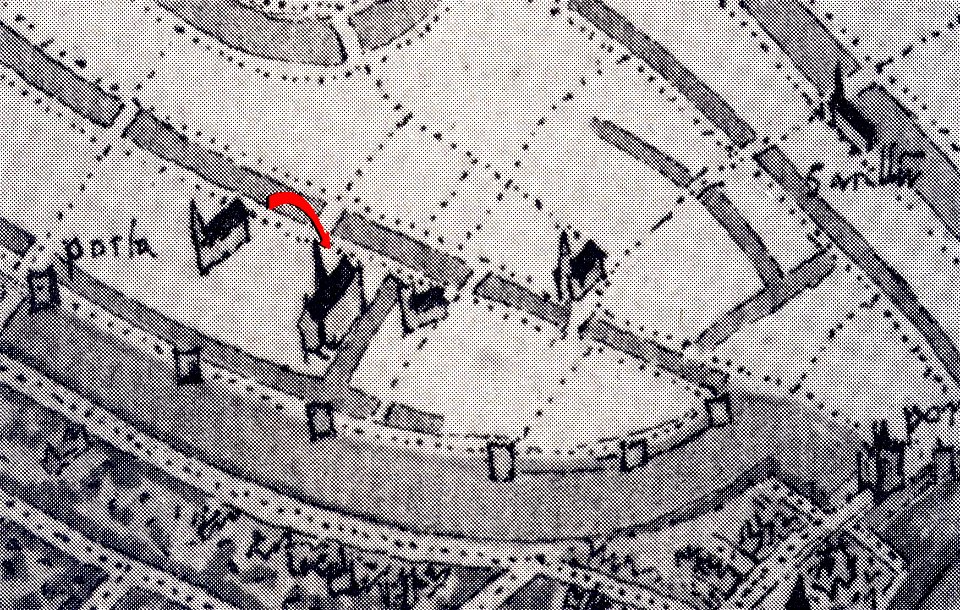
maps of pompeii
braun & hogenberg
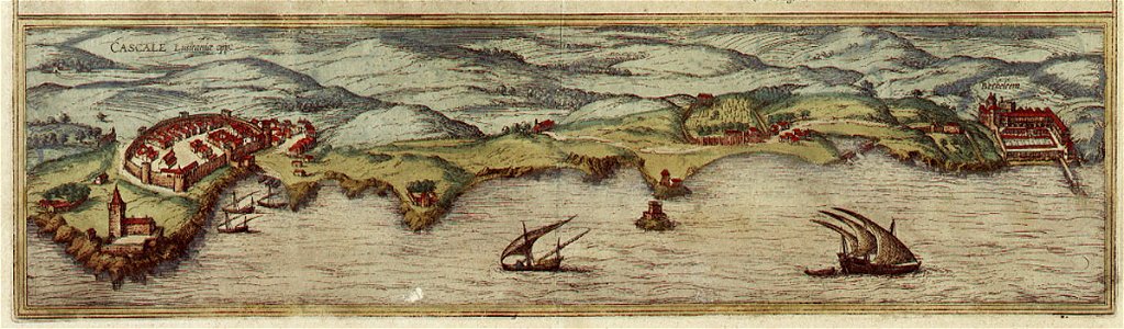
maps of cascais
1665
1665
1750
maps of gamla stan
old maps of zürich
gygerkarte
maps of delfshaven
edward dodwell
provided by landsbókasafn íslands
old maps of iceland
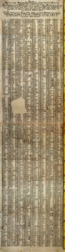
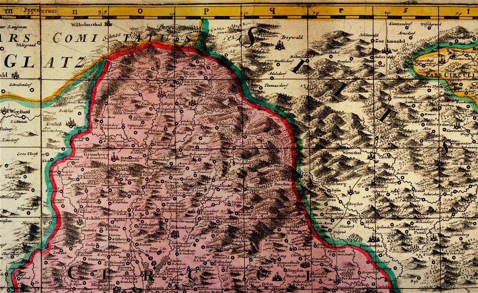
müller's map of moravia
müller's map of moravia
müller's map of moravia
müller's map of moravia
müller's map of moravia
maps of the history of syria
books by gaston maspero
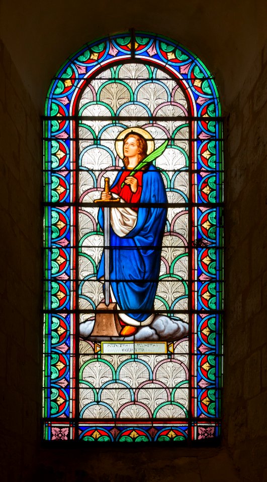
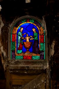
color
blue
self-published work
architecture
self-published work
pages with maps
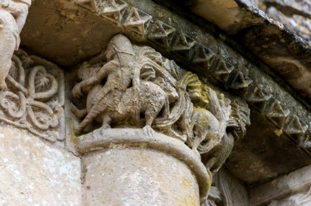
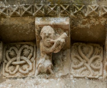
romanesque capitals in charente-maritime
self-published work
self-published work
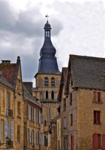
2011 in dordogne
august 2014 in granada
architecture
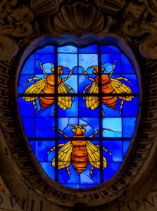
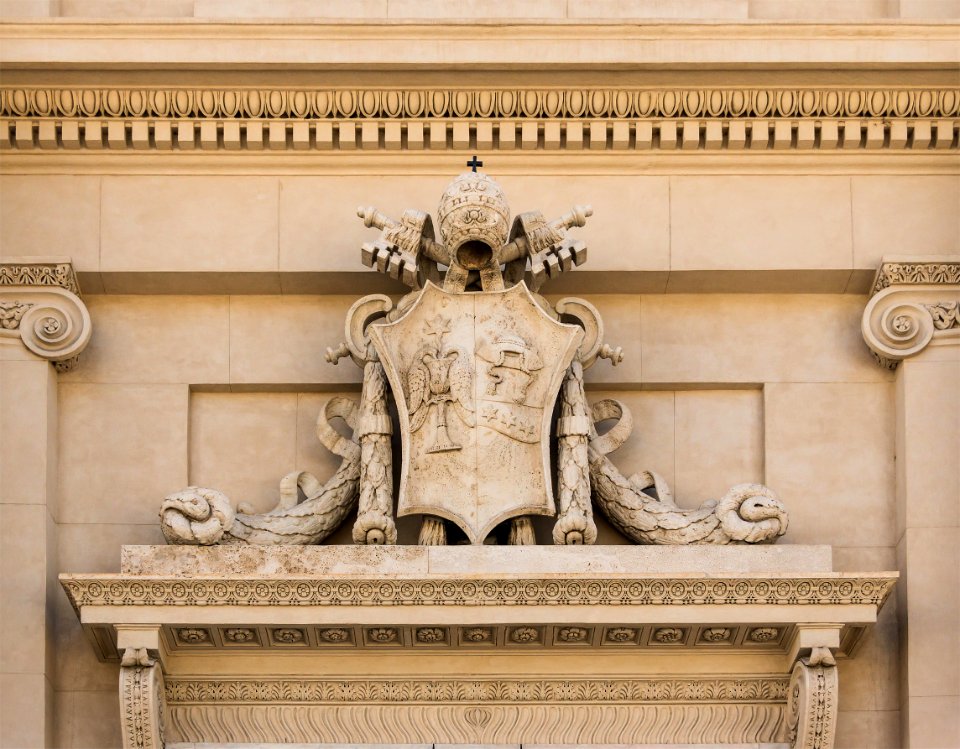
crowns in crest
gold
self-published work
pages with maps
architecture
roof
maps
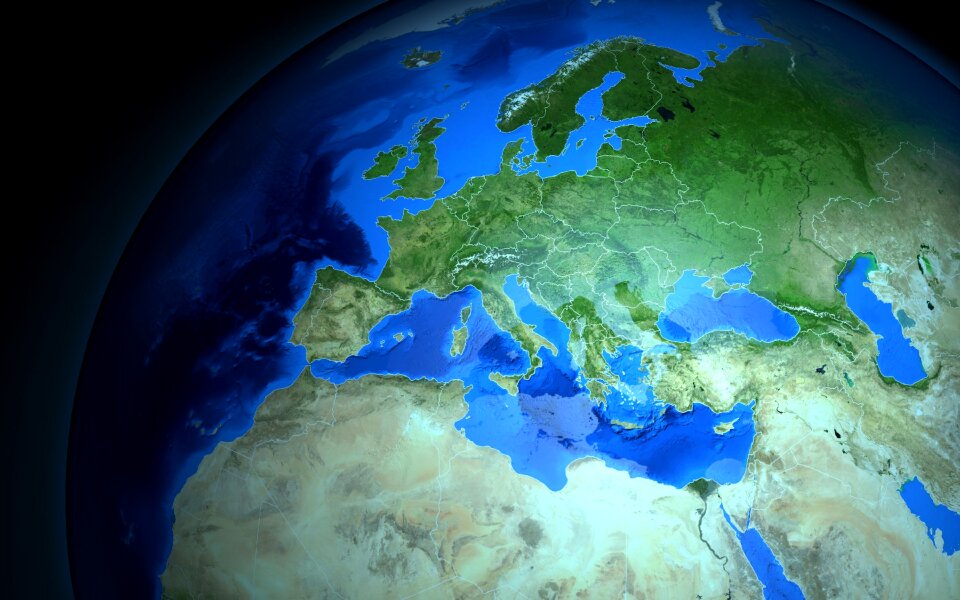
sea
self-published work
architecture
self-published work
pages with maps
architecture
travel
self-published work
celtic knot
architecture
travel
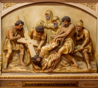
reliefs of coats of arms in rome
self-published work
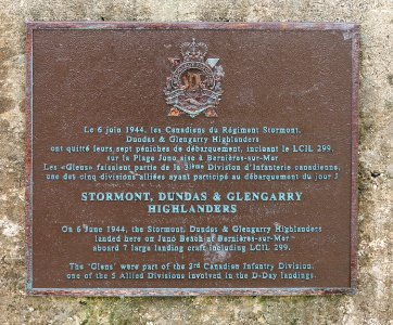
juno beach
d-day
self-published work
pages with maps
architecture
city
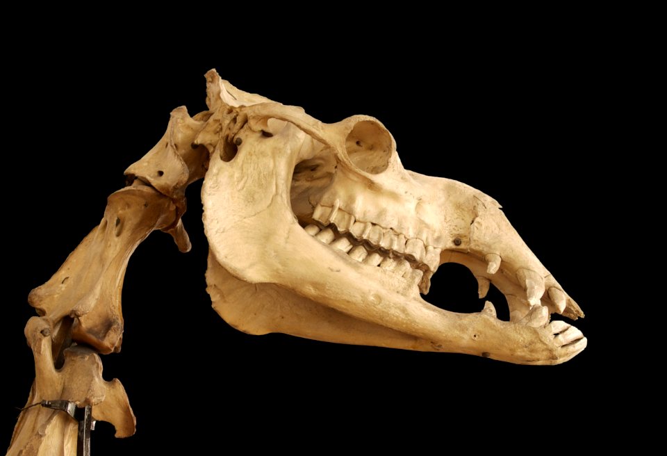
animals
maxilla
10201 - 10300 of 357,549
Next page
/ 3576