Log in
All resources
Create a design
Tools
357,549 Free Images of Map
atlante veneto (raremaps.com) volume 2
atlas of the russian empire (1800)
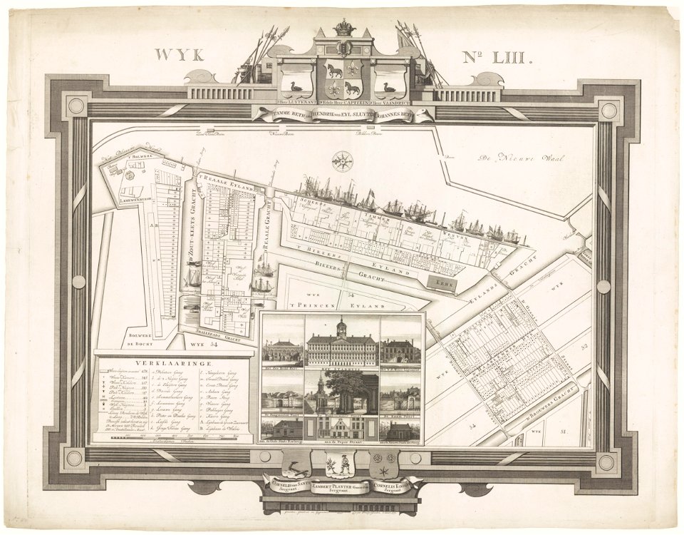
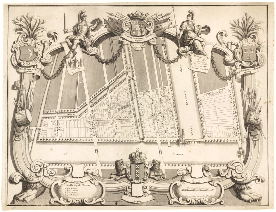
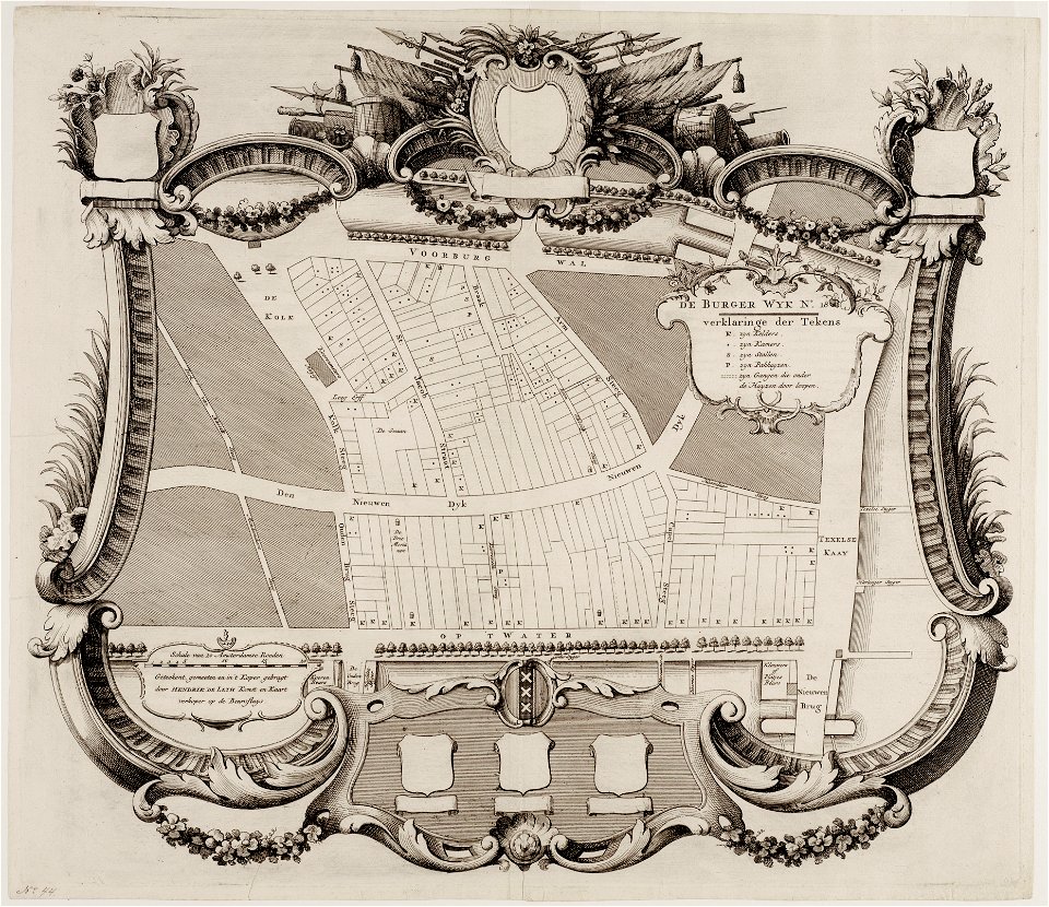
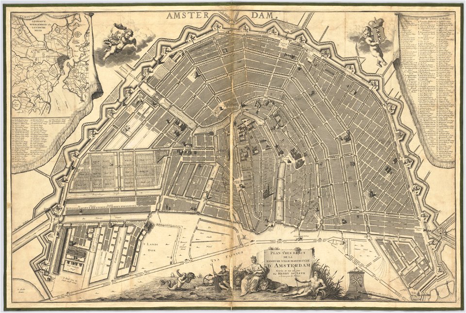
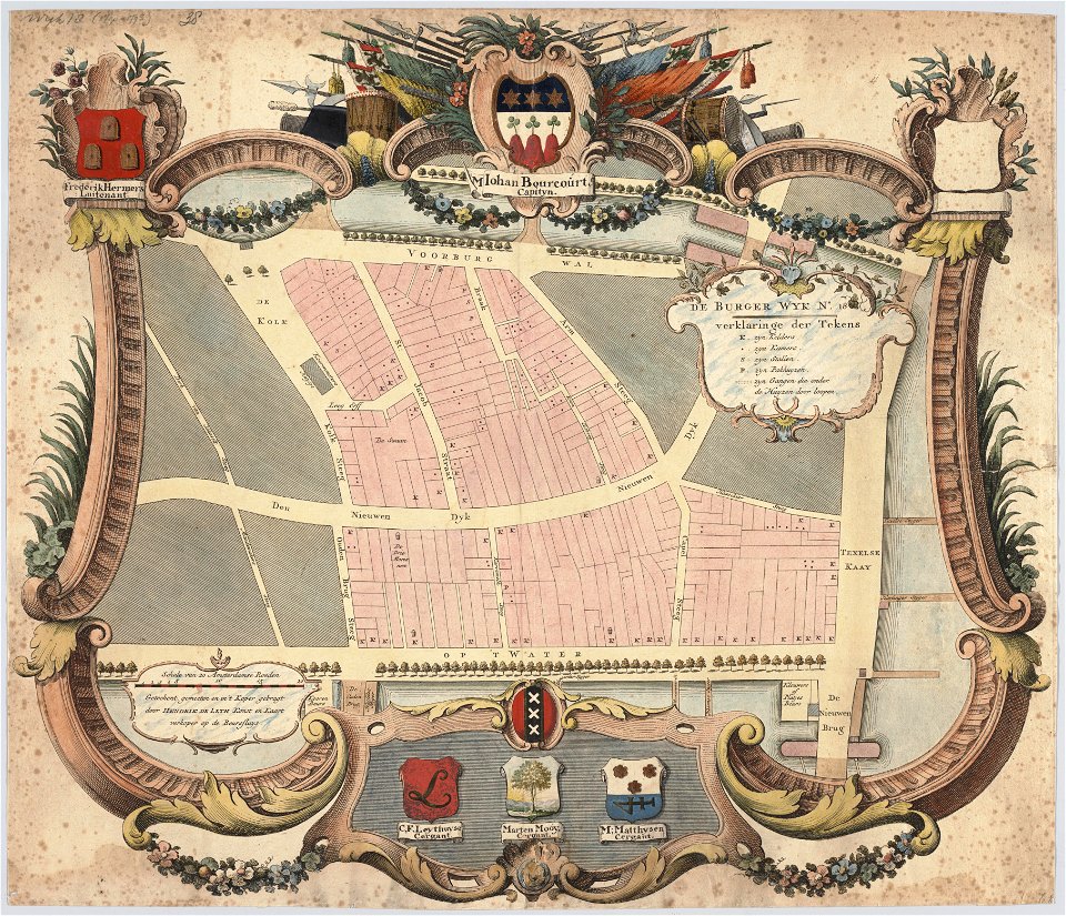
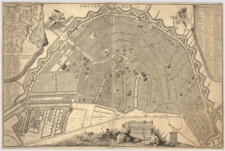
maps in the stadsarchief amsterdam
hendrik de leth
old maps of china
geographical illustrations by coronelli
bibliothèque municipale de reims
charts and maps of the royal museums greenwich
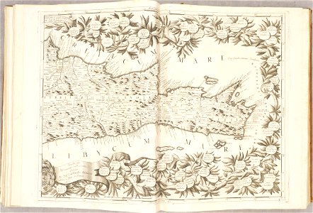
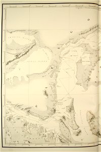
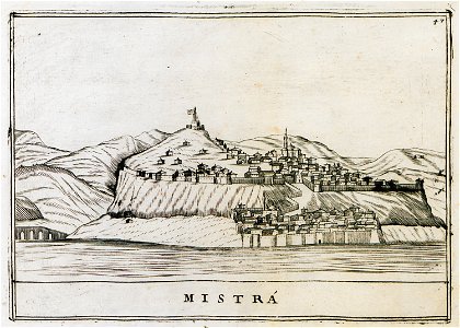
old maps of the peloponnese
old maps of crete
atlante veneto (raremaps.com) volume 2
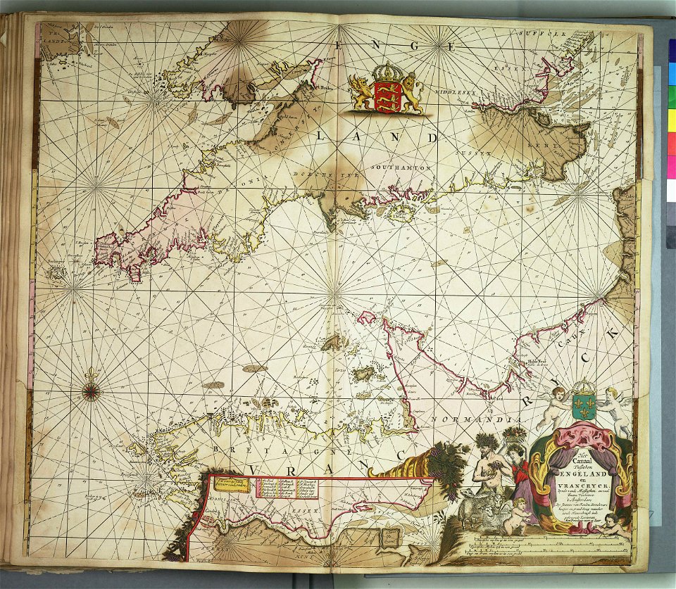
old maps of england
atlante veneto (raremaps.com) volume 2
old maps of crete
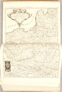
atlante veneto (raremaps.com) volume 2
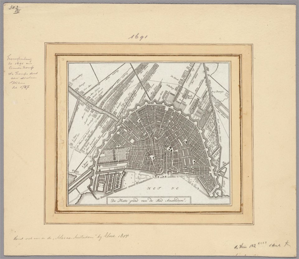
1690s maps of the netherlands
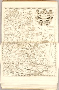
atlante veneto (raremaps.com) volume 2
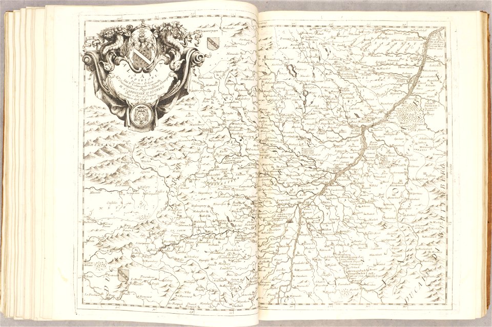
old maps of alsace
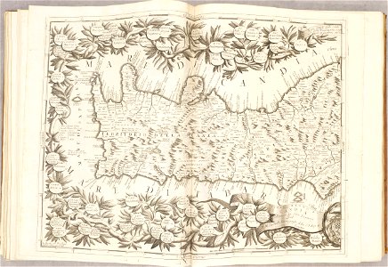
atlante veneto (raremaps.com) volume 2
old maps of france
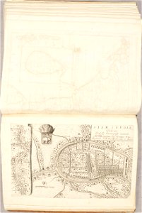
atlante veneto (raremaps.com) volume 2
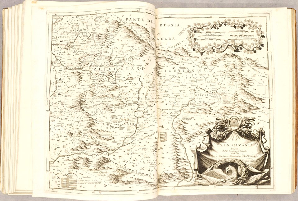
old maps of transylvania
atlante veneto (raremaps.com) volume 2
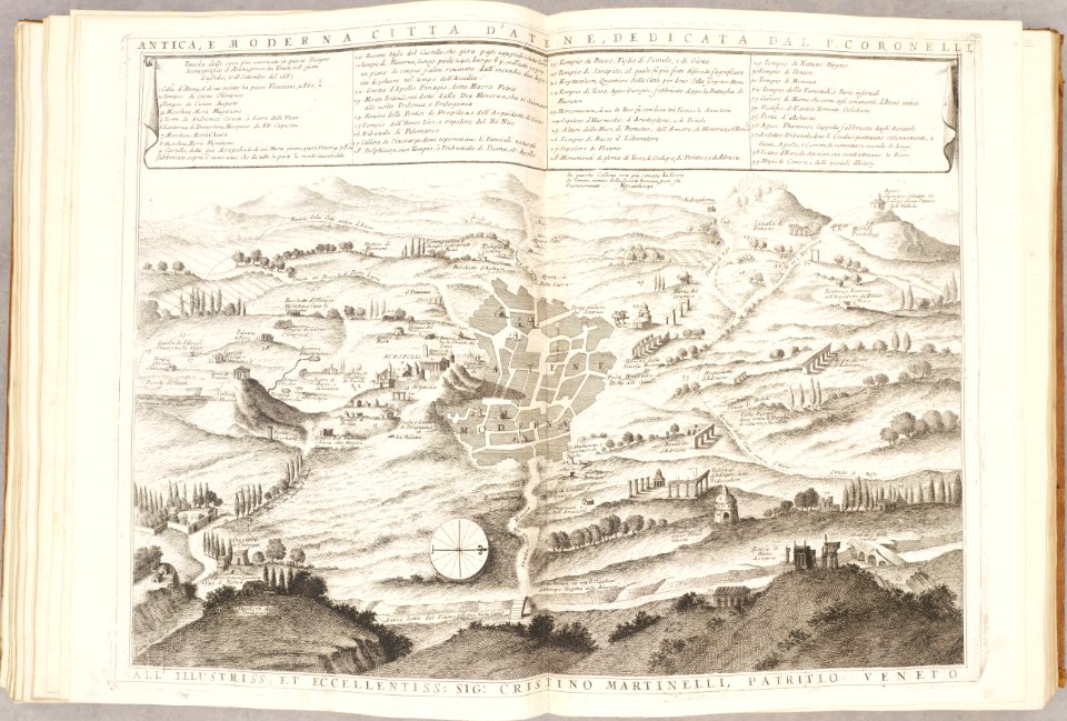
old maps of athens
atlante veneto (raremaps.com) volume 2
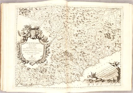
old maps of genoa
atlante veneto (raremaps.com) volume 2
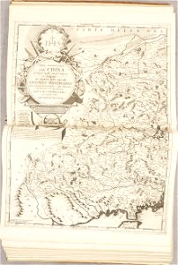
old maps of china
atlante veneto (raremaps.com) volume 2
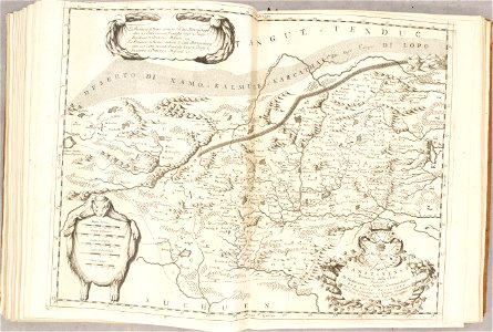
old maps of china
atlante veneto (raremaps.com) volume 2
old maps of poland
atlante veneto (raremaps.com) volume 2
old maps of poland
atlante veneto (raremaps.com) volume 2
old maps of crete
atlante veneto (raremaps.com) volume 2
old maps of ayutthaya
atlante veneto (raremaps.com) volume 2
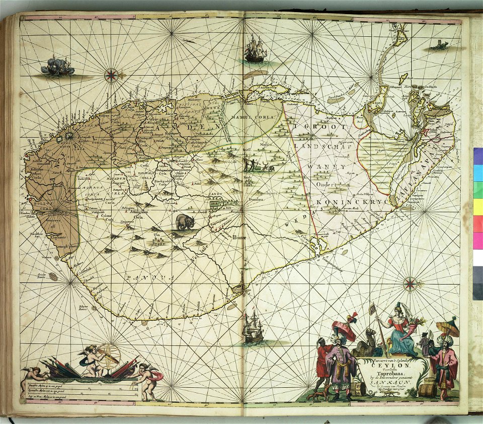
old maps of china
atlante veneto (raremaps.com) volume 2
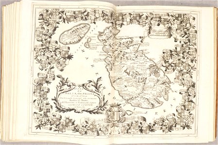
old maps of malta
atlante veneto (raremaps.com) volume 2
old maps of italy
atlante veneto (raremaps.com) volume 2
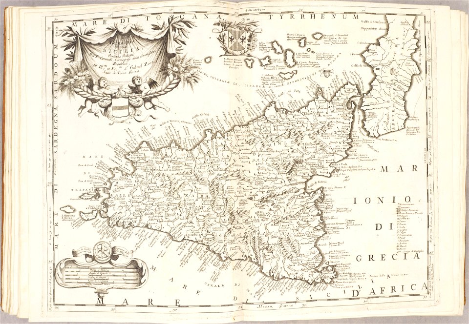
old maps of sicily
atlante veneto (raremaps.com) volume 2
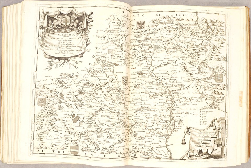
old maps of moravia
atlante veneto (raremaps.com) volume 2
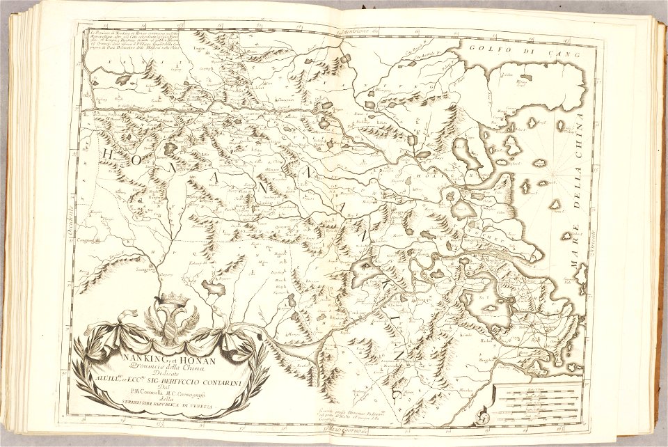
old maps of china
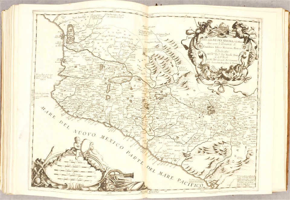
atlante veneto (raremaps.com) volume 2
old maps of mexico
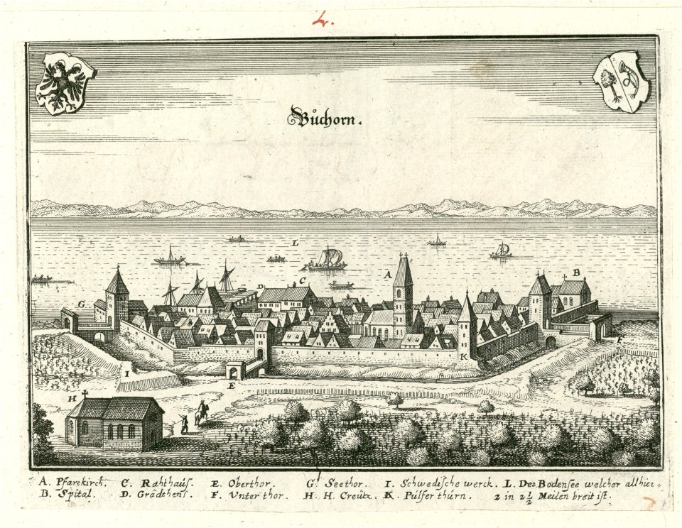
friedrichshafen in art
merian sueviae picture
bibliothèque municipale de reims
rès. g 153
maps in the stadsarchief amsterdam
jan caspar philips
maps in the stadsarchief amsterdam
caspar philips
charts and maps of the royal museums greenwich
charts and maps of the royal museums greenwich
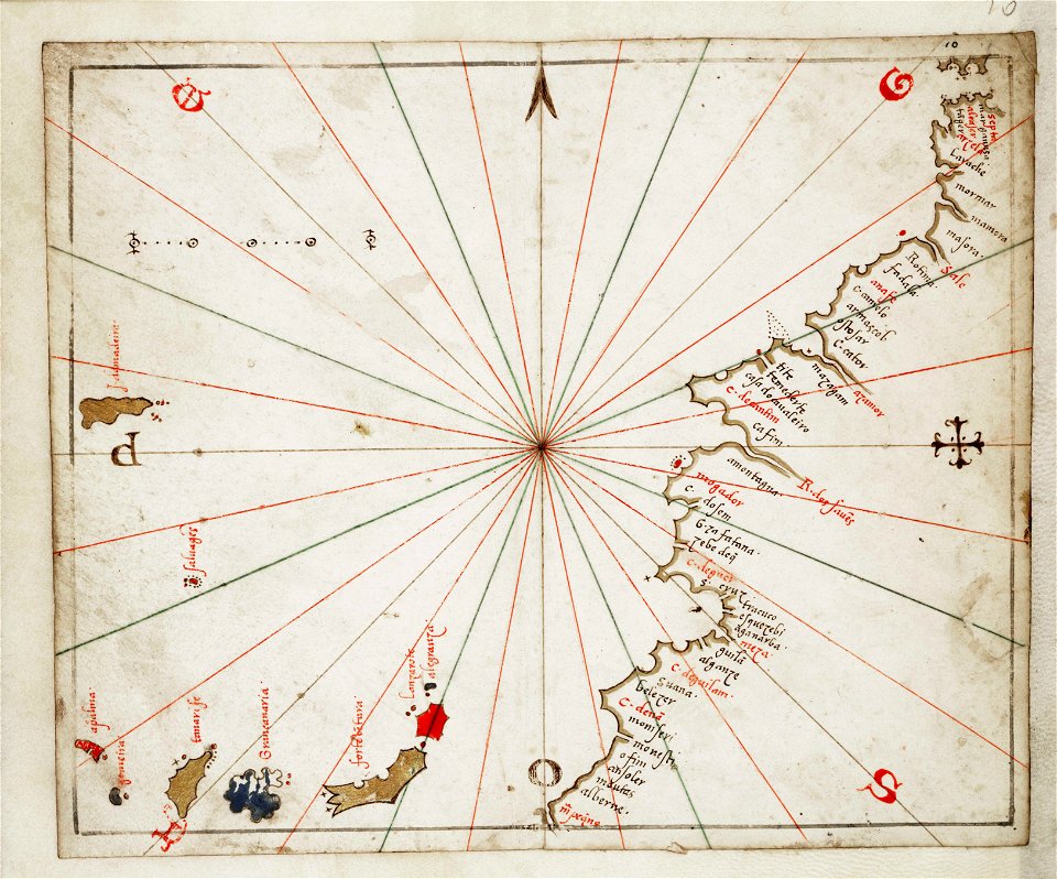
joan martines
historical images of minsk
old maps of minsk
bibliothèque municipale de reims
rès. g 153
19th-century maps of porto
1865,
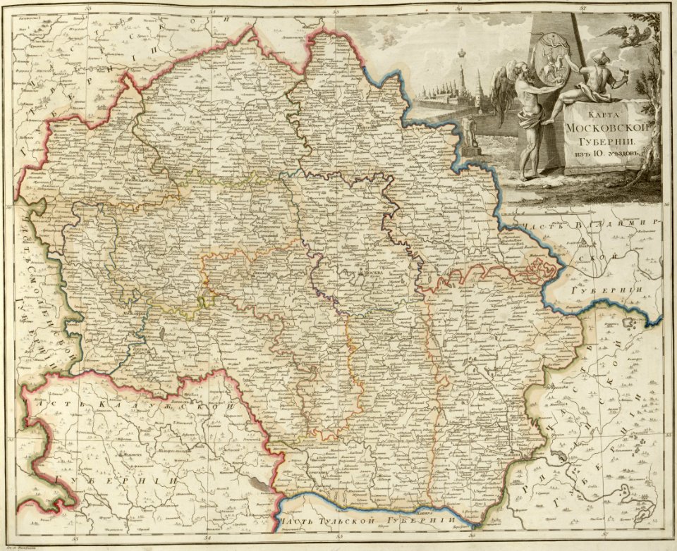
atlas of the russian empire (1800)
maps of moscow governorate
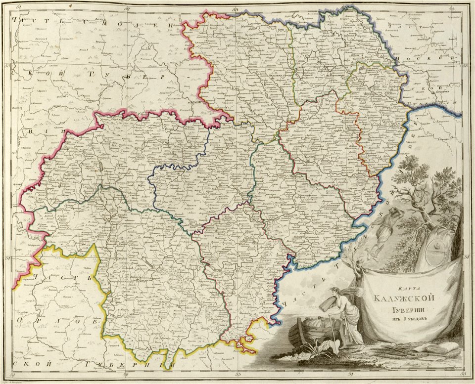
atlas of the russian empire (1800)
maps of kaluga governorate
atlas of the russian empire (1800)
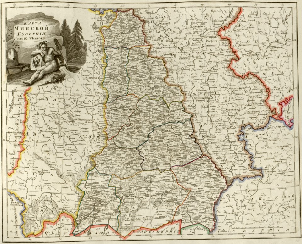
maps of minsk governorate
atlas of the russian empire (1800)
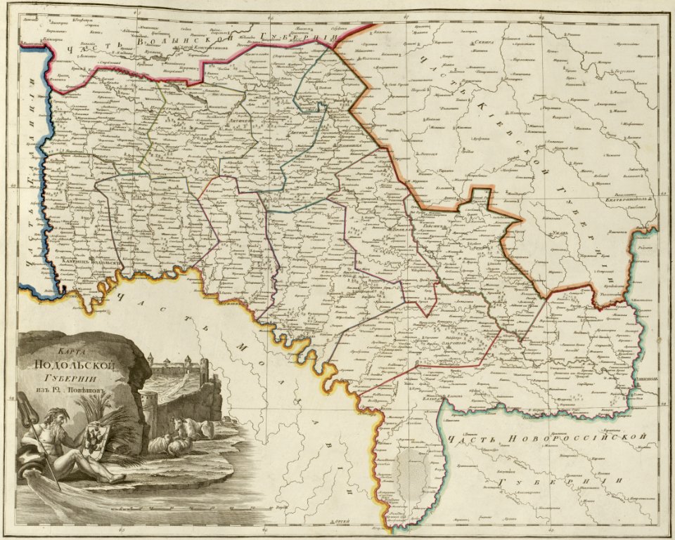
maps of podolia governorate
atlas of the russian empire (1800)
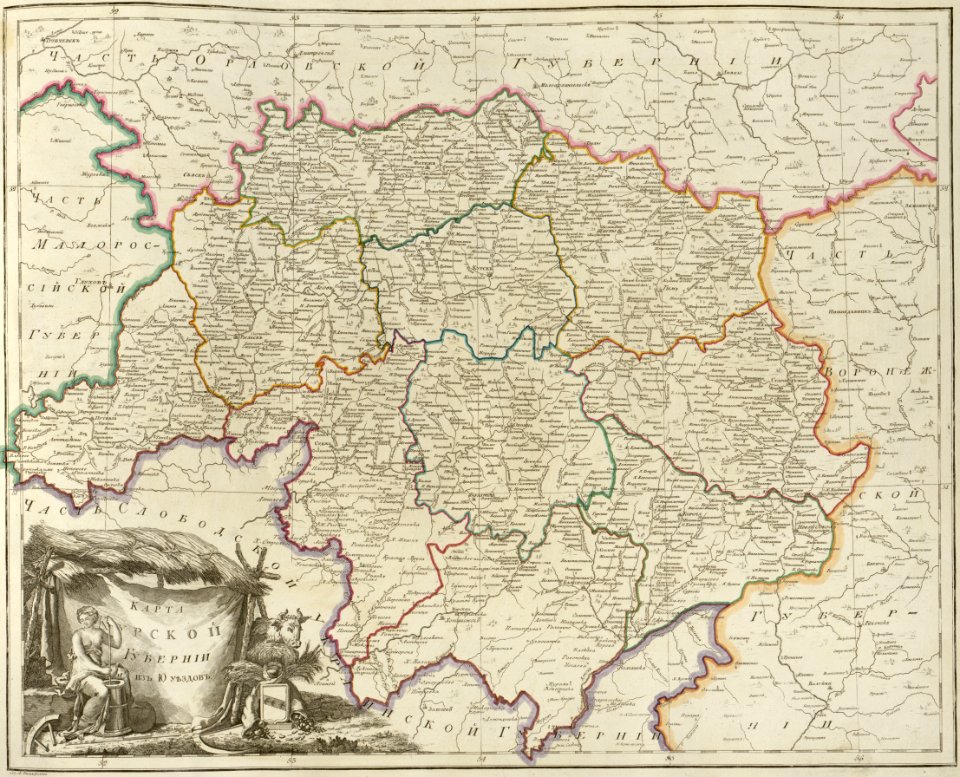
maps of kursk governorate
atlas of the russian empire (1800)
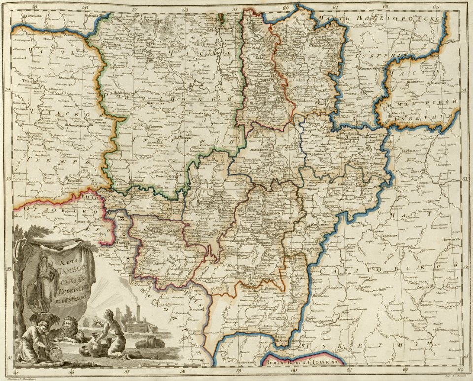
maps of tambov governorate
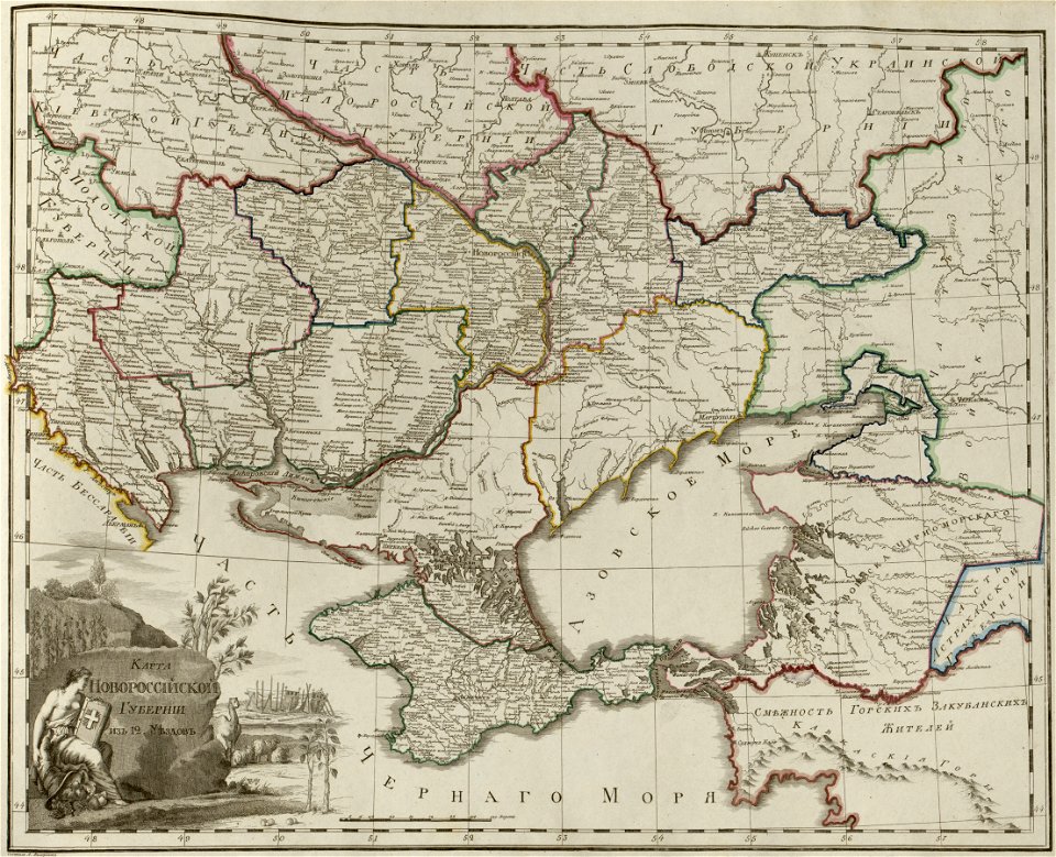
atlas of the russian empire (1800)
maps of novorossia governorate
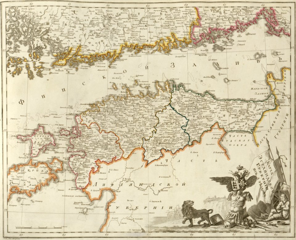
atlas of the russian empire (1800)
maps of estlandia governorate
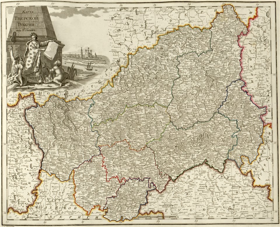
atlas of the russian empire (1800)
maps of tver governorate
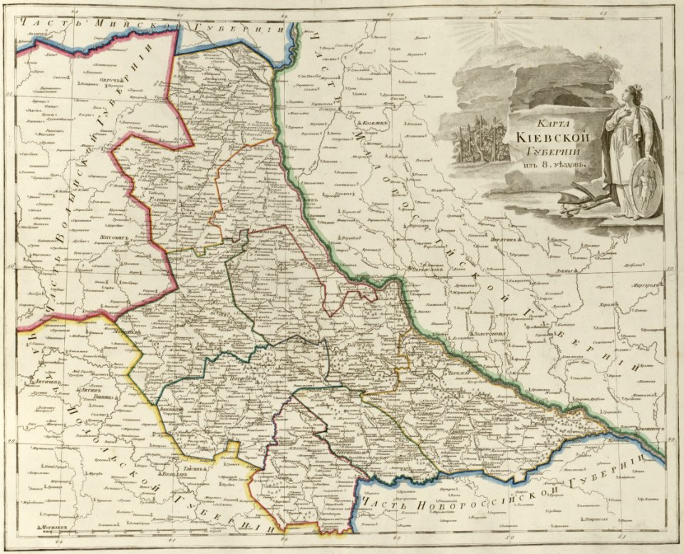
atlas of the russian empire (1800)
maps of kiev governorate
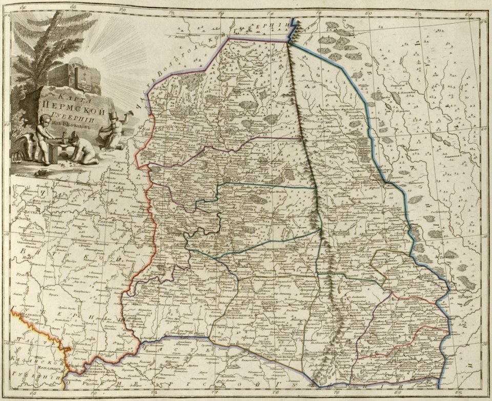
atlas of the russian empire (1800)
maps of perm governorate
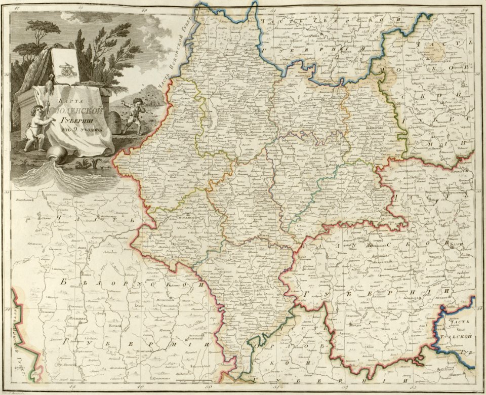
atlas of the russian empire (1800)
maps of smolensk governorate
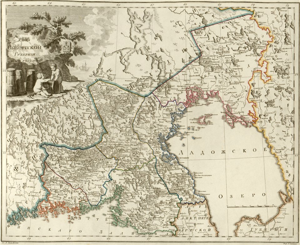
atlas of the russian empire (1800)
maps of wyborg governorate
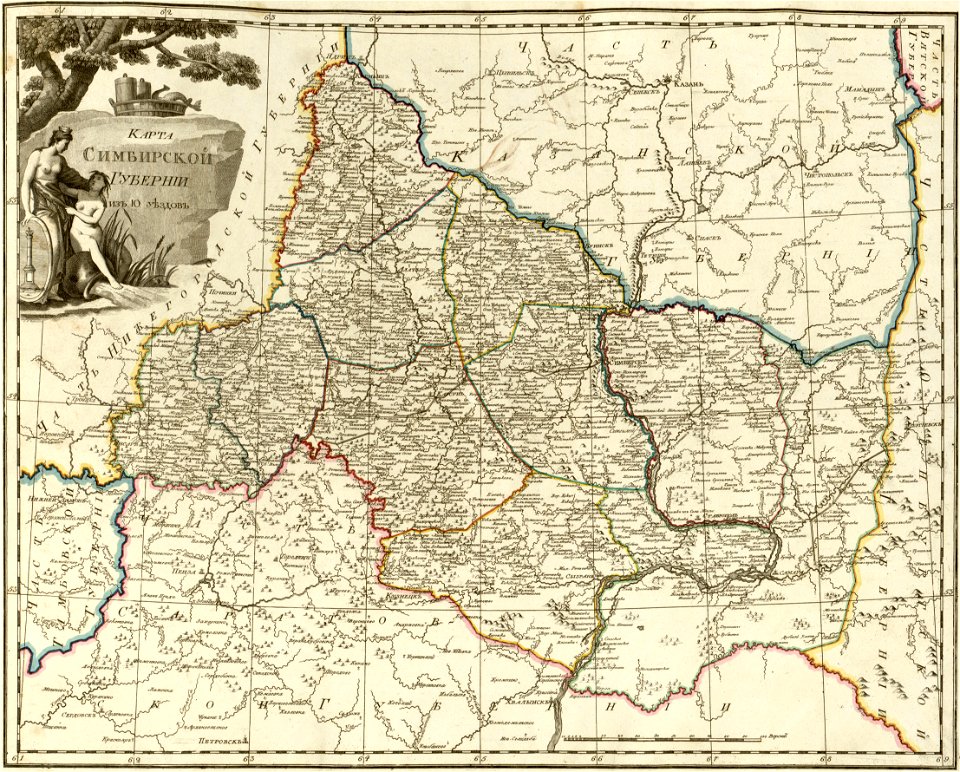
atlas of the russian empire (1800)
maps of simbirsk governorate
atlas of the russian empire (1800)
maps of vladimir governorate
old maps of the strait of magellan
voyage au pôle sud
old maps of new york (state)
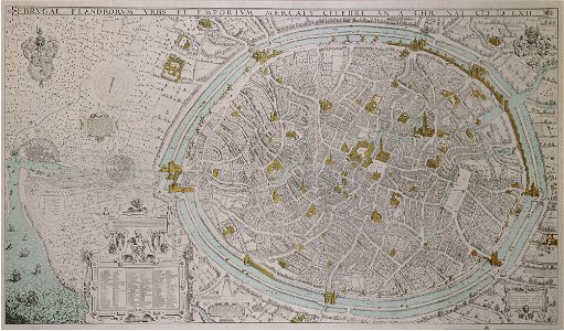
map of ghent by braun & hogenberg
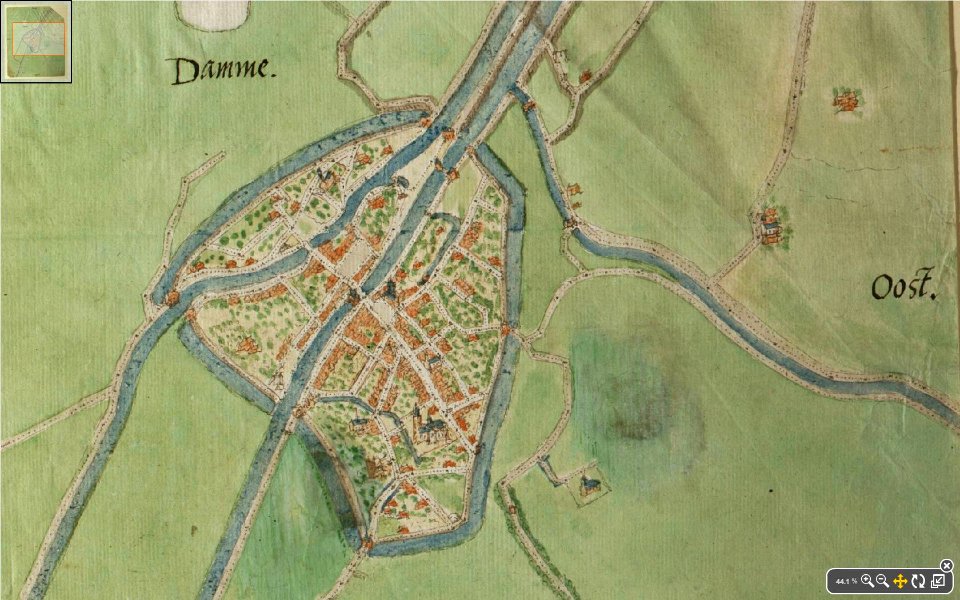
map of damme by jacob van deventer
lieve
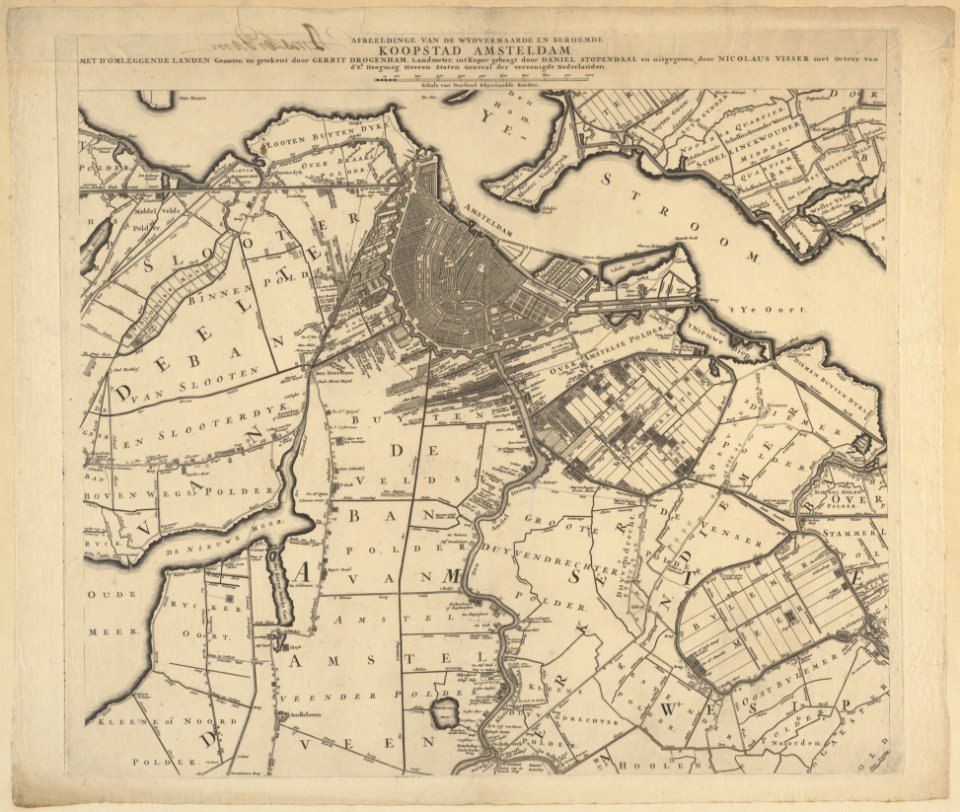
maps in the stadsarchief amsterdam
daniel stoopendaal
geographical illustrations by coronelli
old maps of the peloponnese
scans by the library of geneva
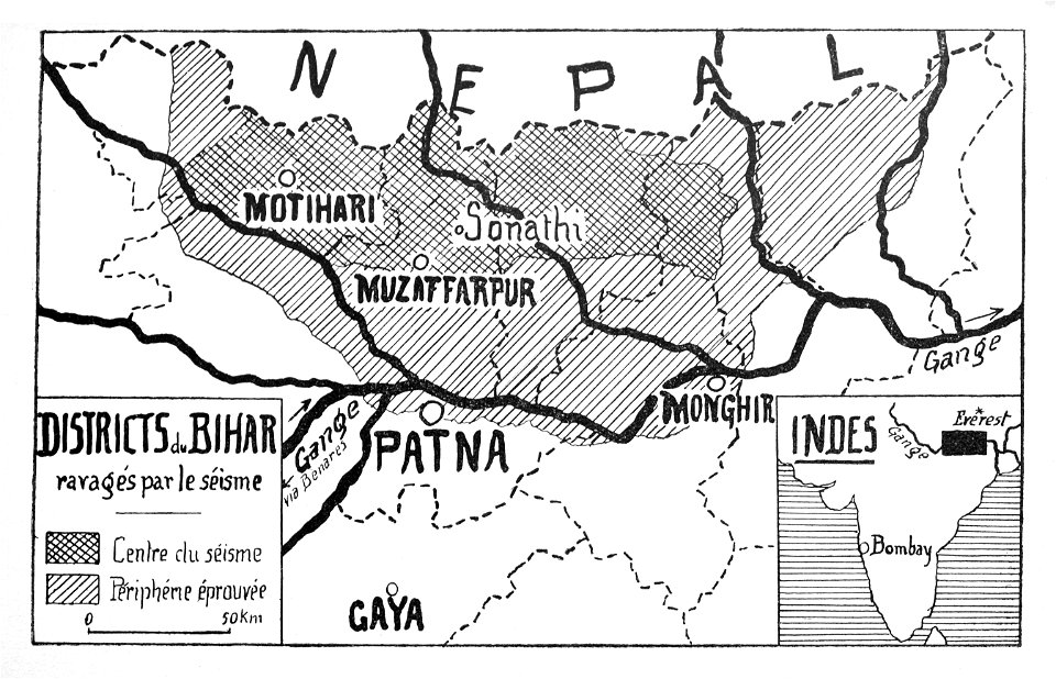
maps of bihar
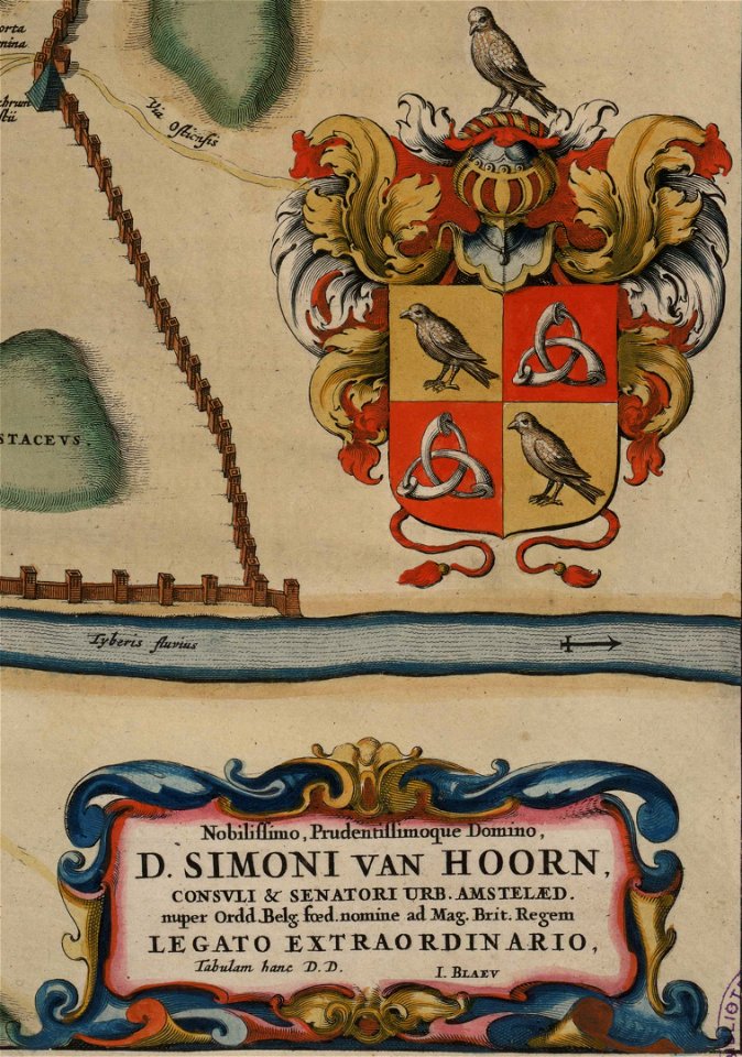
maps by willem and johannes blaeu
copper engraving
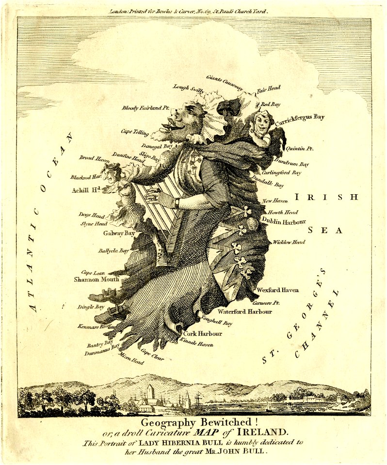
satirical prints in the british museum
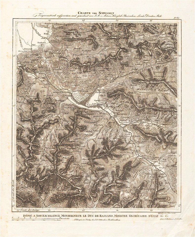
charte von schwaben (bohnenberger)
old maps of vorarlberg
bibliothèque municipale de reims
chgg 16
history of argentina from independence to the constitution of 1853
maps by john pinkerton
history of argentina from independence to the constitution of 1853
maps by john pinkerton
johann christoph müller
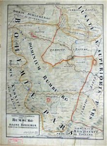
maps of rumburk
russie by jean-marie chopin - caucasus
history of armenia
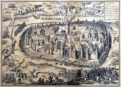
old maps of smolensk
willem hondius
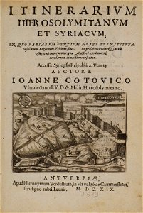
itinerarium hierosolymitanum et syriacum..., 1619
map „das herzogthum nassau“ by j.b. fischer
1828
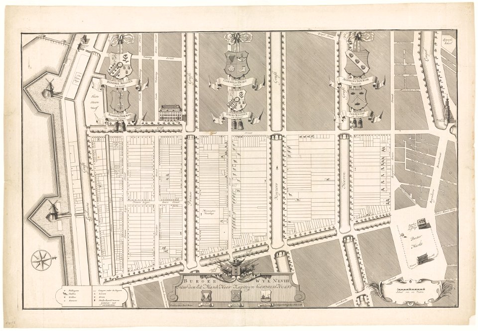
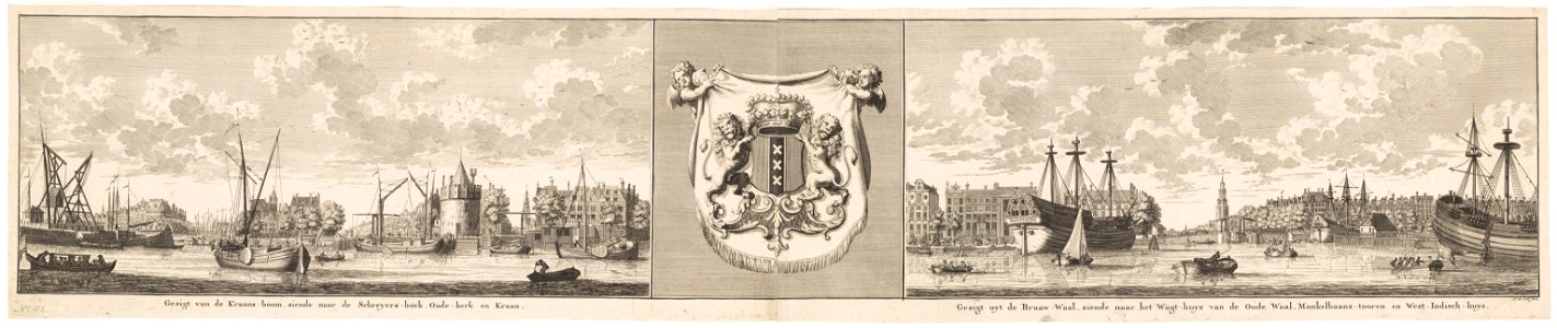
maps in the stadsarchief amsterdam
hendrik de leth
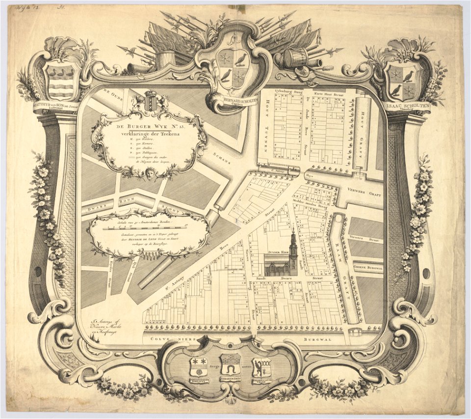
maps in the stadsarchief amsterdam
hendrik de leth
maps in the stadsarchief amsterdam
hendrik de leth
maps in the stadsarchief amsterdam
hendrik de leth
maps in the stadsarchief amsterdam
hendrik de leth
maps in the stadsarchief amsterdam
hendrik de leth
maps in the stadsarchief amsterdam
hendrik de leth
maps in the stadsarchief amsterdam
hendrik de leth
maps in the stadsarchief amsterdam
hendrik de leth
braun & hogenberg
frans hogenberg
geographical illustrations by coronelli
engravings of igoumenitsa
itinerarium hierosolymitanum et syriacum..., 1619
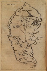
old maps of rhodes
maps by samuel de champlain
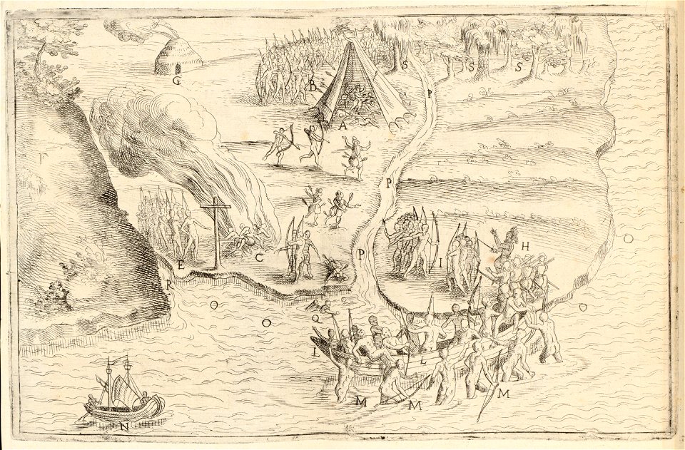
history of north america
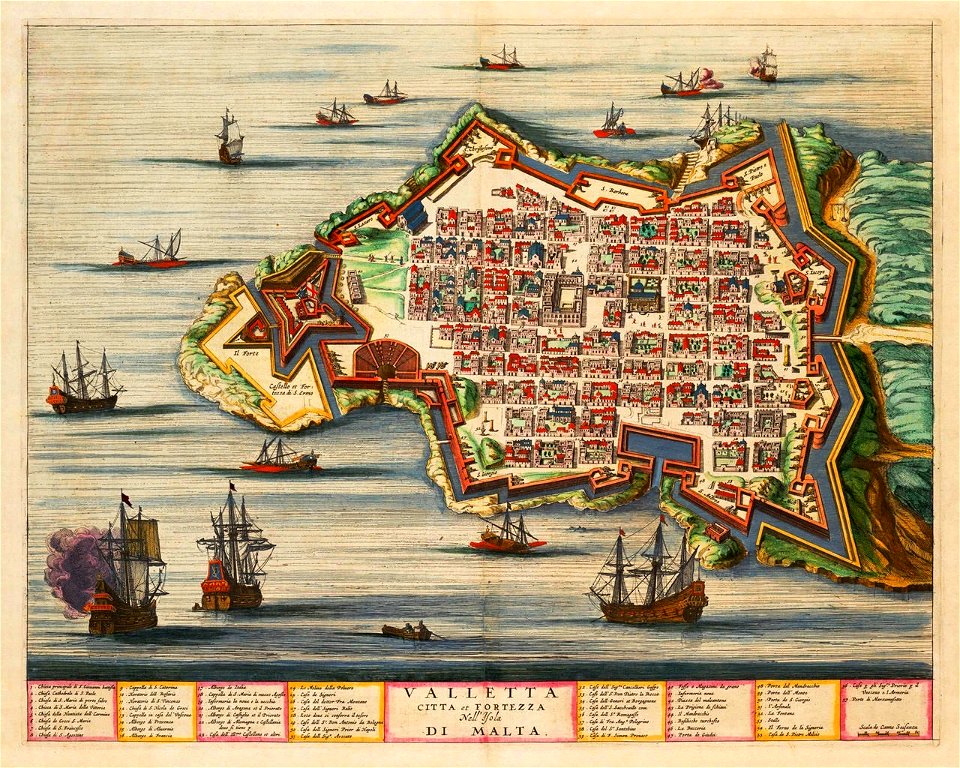
old maps of valletta
joan blaeu
charts and maps of the royal museums greenwich
historical images of homel
maps of homieĺ
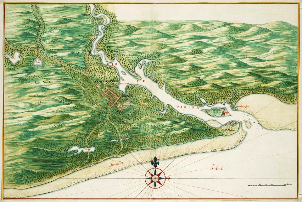
old maps of dutch brazil
johannes vingboons
description des principales villes (1690)
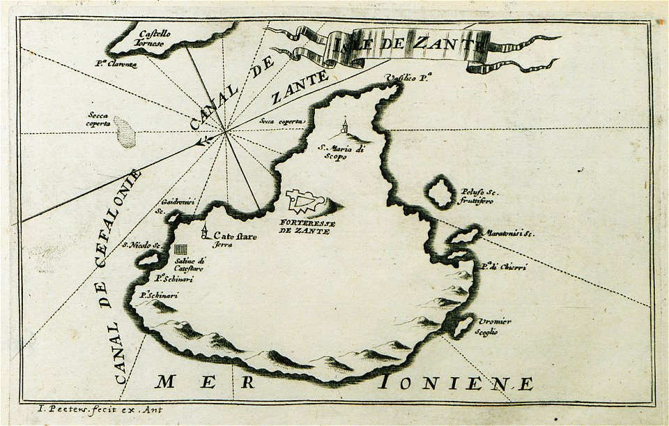
maps of zakynthos
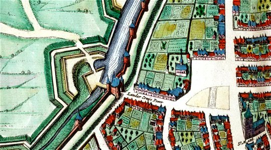
map of maastricht by willem and johannes blaeu (1649)
lindenkruispoort (maastricht)
media needing categories as of 27 february 2019
geographical illustrations by coronelli
old maps of the peloponnese
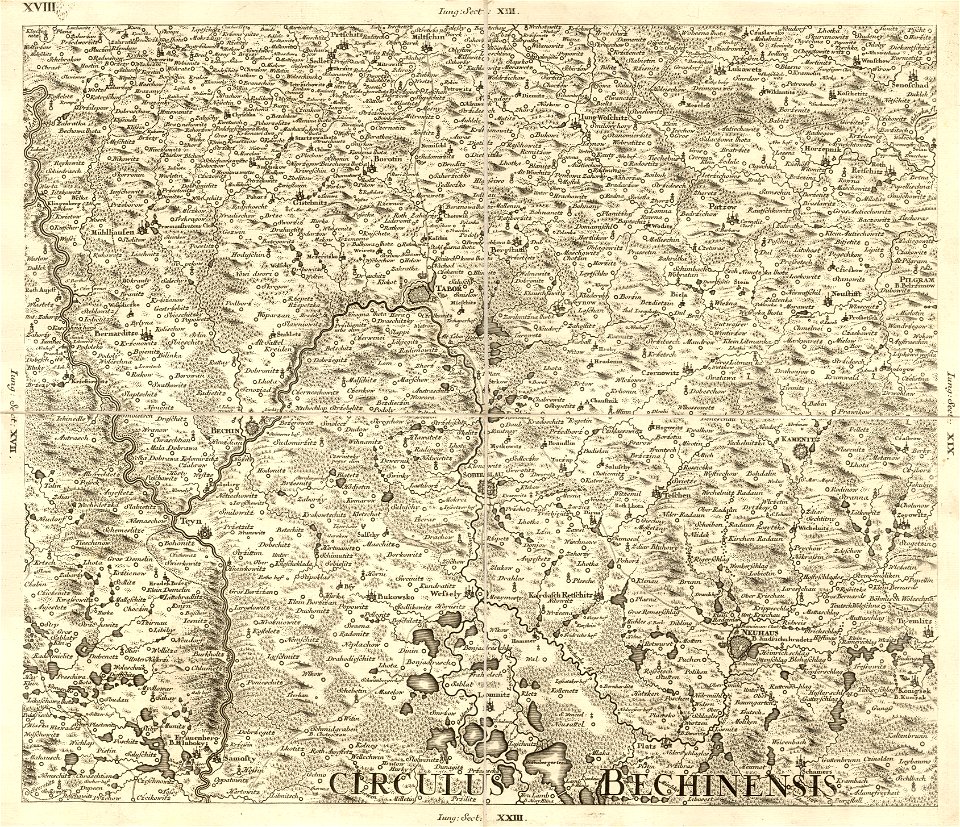
müller's map of bohemia
bechyňský kraj
map of bruges by marcus gheeraerts (i)
gracht
geographical illustrations by coronelli
old maps of the peloponnese
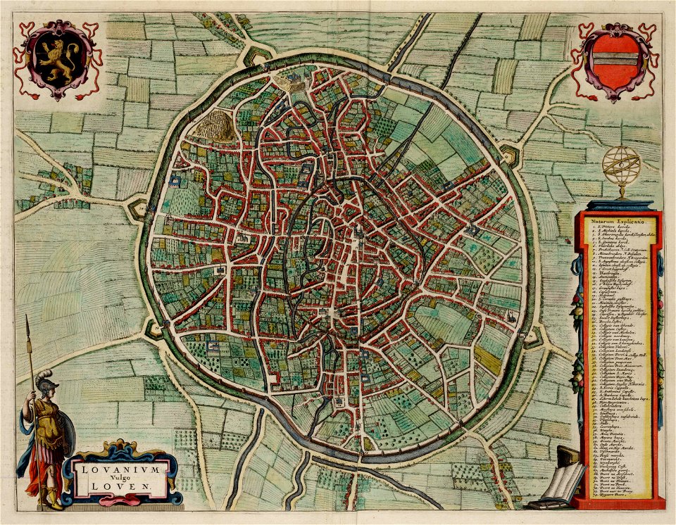
old maps of leuven
atlas van loon
hans jakob breuning von buchenbach
holwinde
usquert
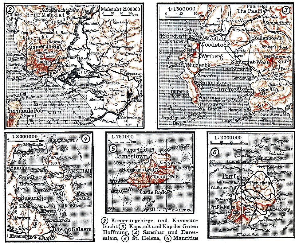
maps by brockhaus
mount cameroon
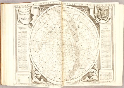
atlante veneto (raremaps.com) volume 1
old celestial maps
atlante veneto (raremaps.com) volume 2
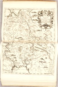
old maps of russia
atlante veneto (raremaps.com) volume 2
old maps of sardinia
atlante veneto (raremaps.com) volume 2
old maps of china
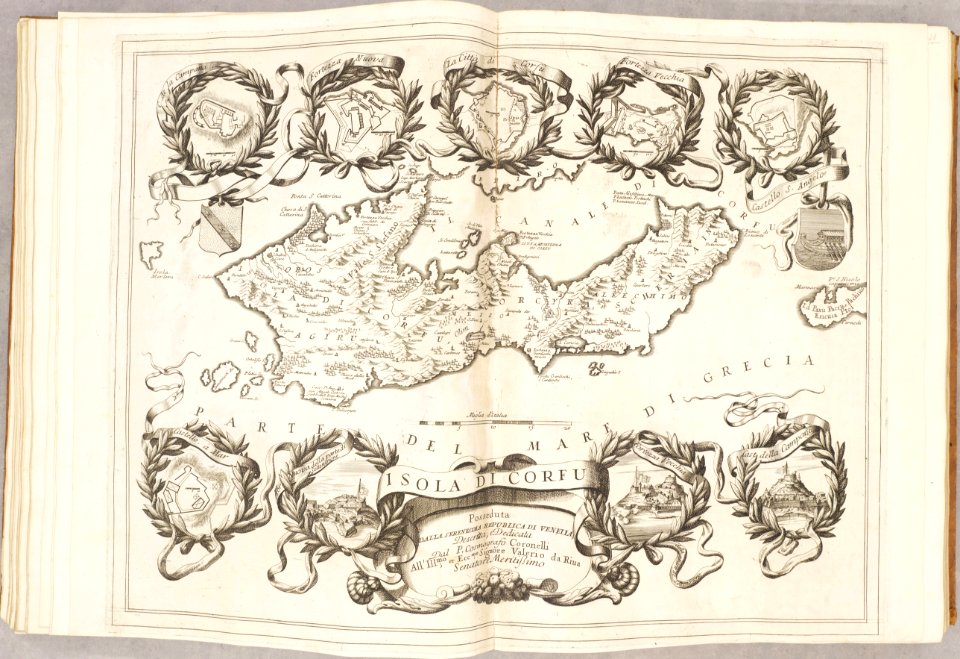
atlante veneto (raremaps.com) volume 2
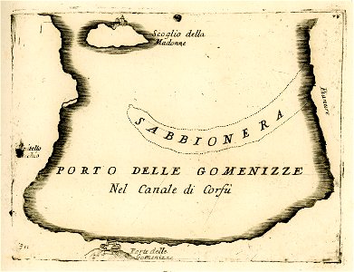
old maps of corfu
atlante veneto (raremaps.com) volume 2
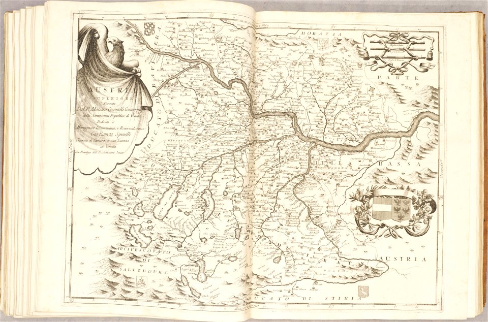
old maps of austria
atlante veneto (raremaps.com) volume 2
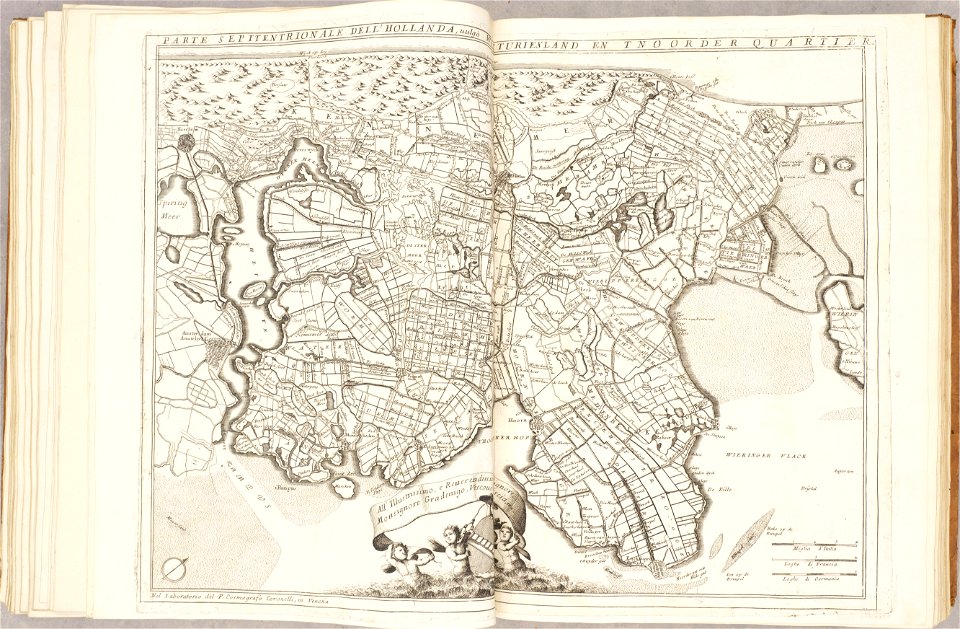
1690s maps of the netherlands
atlante veneto (raremaps.com) volume 2
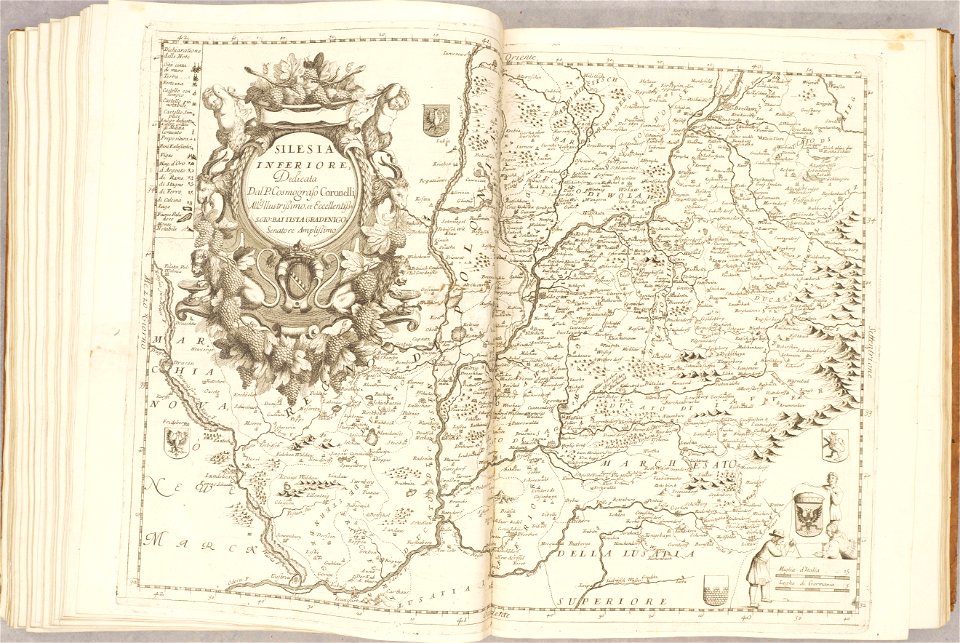
old maps of silesia
atlante veneto (raremaps.com) volume 2
old maps of scotland
11901 - 12000 of 357,549
Next page
/ 3576