Log in
All resources
Create a design
Tools
357,549 Free Images of Map
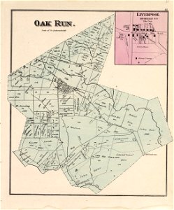
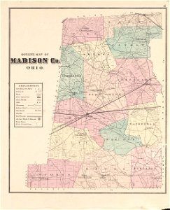
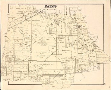
ohio
maps in the library of congress
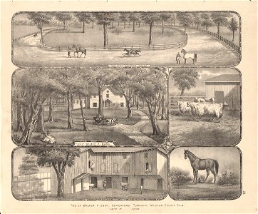
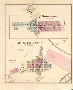
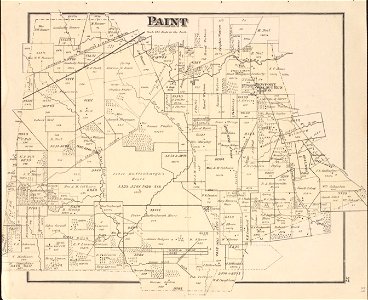
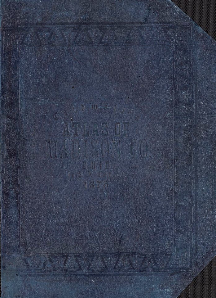
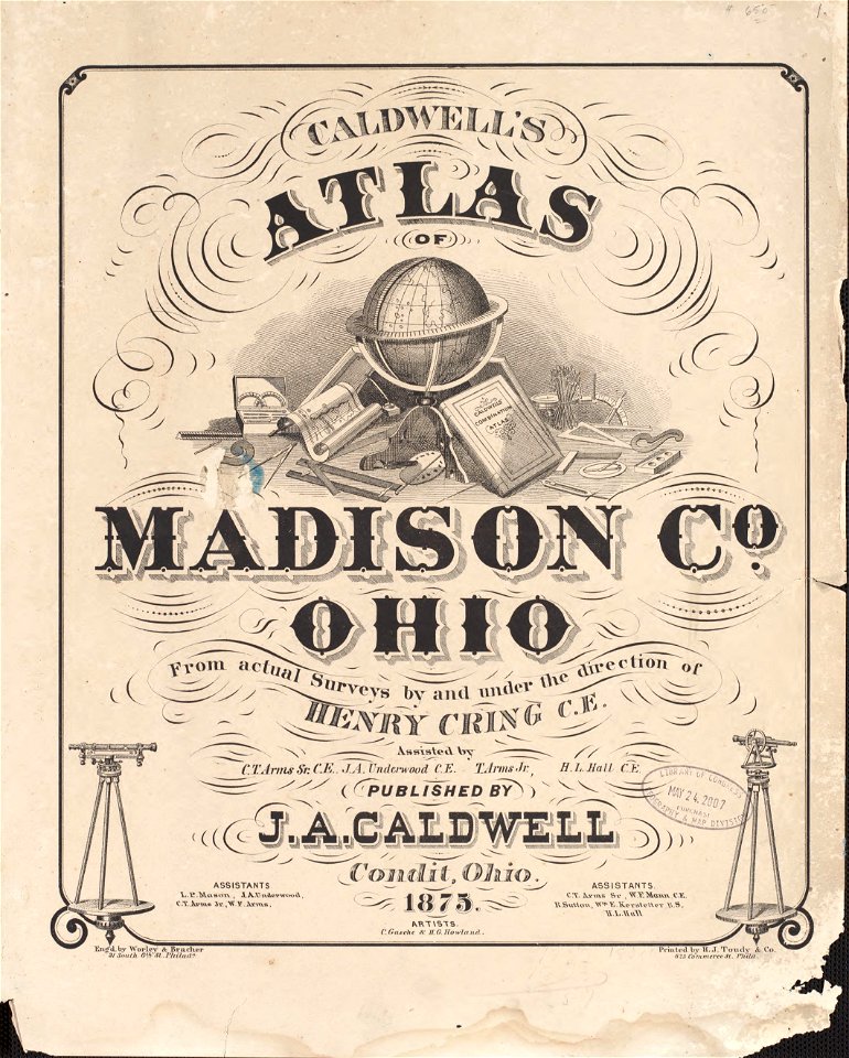
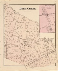
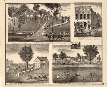
caldwell's atlas of madison co.
atlas de wit 1698
1552
geographiae claudii ptolemaei alexandrini (münster
braun & hogenberg
university of toronto wenceslas hollar digital collection
geographical illustrations by coronelli
old maps of the peloponnese
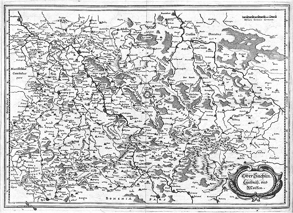
engravings of topographia superioris saxoniae
thüringiae
postcards of germany by eugen felle
bird's-eye view postcards
drawings in the museu antônio parreiras
historical images of minsk
old maps of minsk
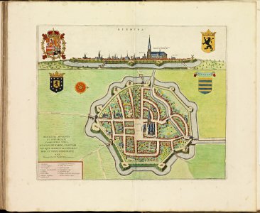
old maps of diksmuide
atlas de wit 1698
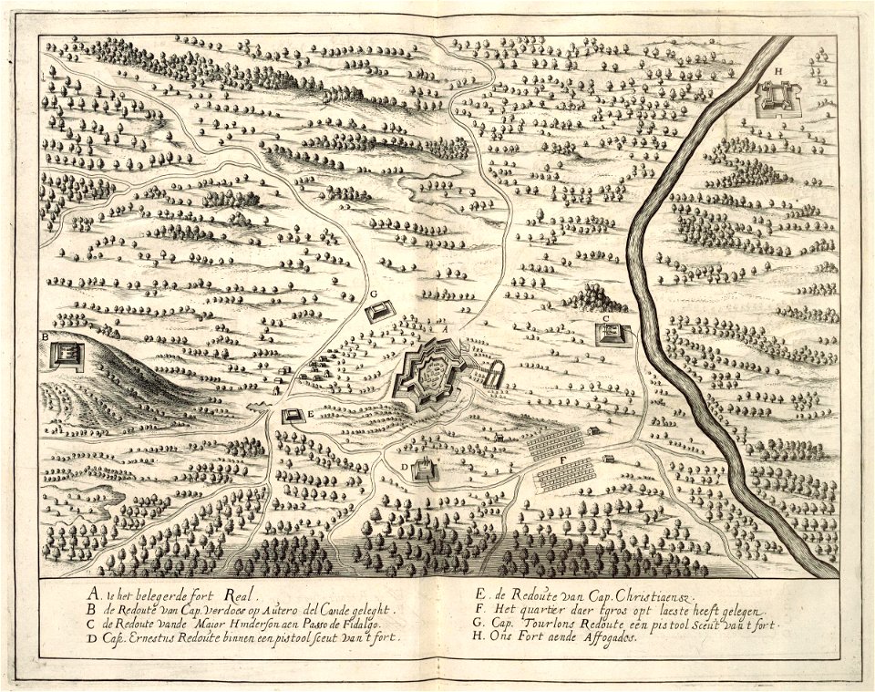
maps of the west-indische compagnie
1732
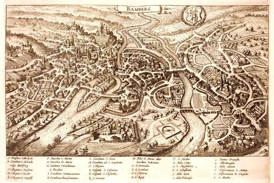
history of bamberg
bamberg
maps in the library of congress
ohio
maps in the library of congress
ohio
maps in the library of congress
ohio
maps in the library of congress
ohio
maps in the library of congress
ohio
maps in the library of congress
ohio
maps in the library of congress
ohio
maps in the library of congress
ohio
maps in the library of congress
ohio
maps in the library of congress
ohio
maps in the library of congress
ohio
maps in the library of congress
ohio
maps in the library of congress
ohio
maps in the library of congress
ohio
maps in the library of congress
ohio
maps in the library of congress
ohio
maps in the library of congress
ohio
maps in the library of congress
ohio
maps in the library of congress
ohio
maps in the library of congress
ohio
maps in the library of congress
ohio
maps in the library of congress
ohio
maps in the library of congress
ohio
maps in the library of congress
ohio
history of piedmont
maps of dauphiné
paintings of windmills
boats in art
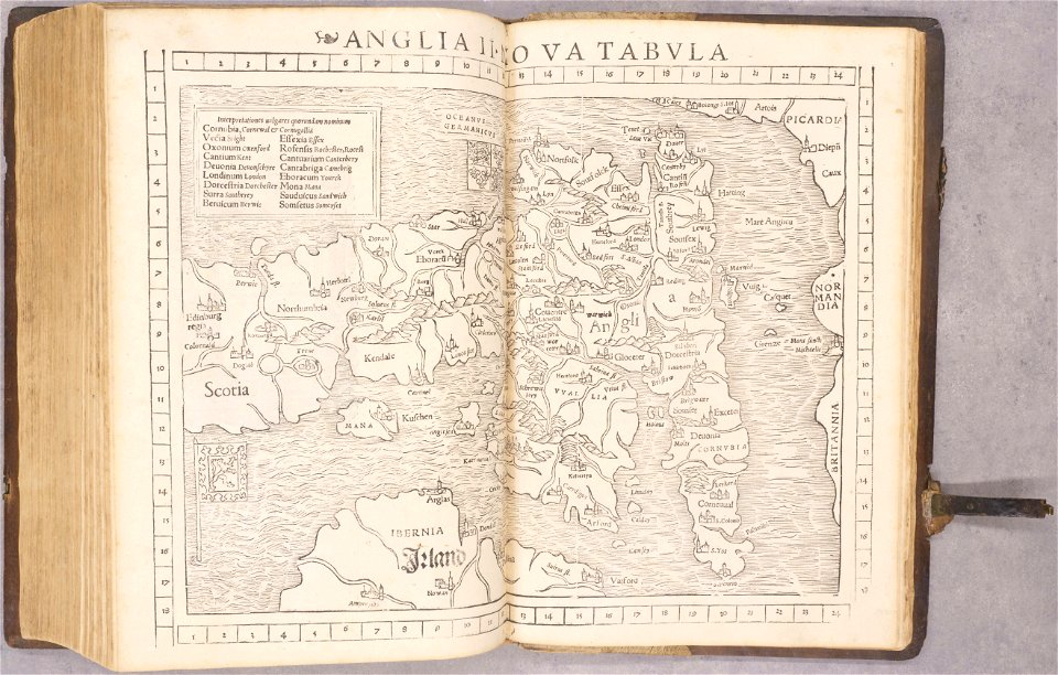
old maps of england
1552
old maps of france
1552
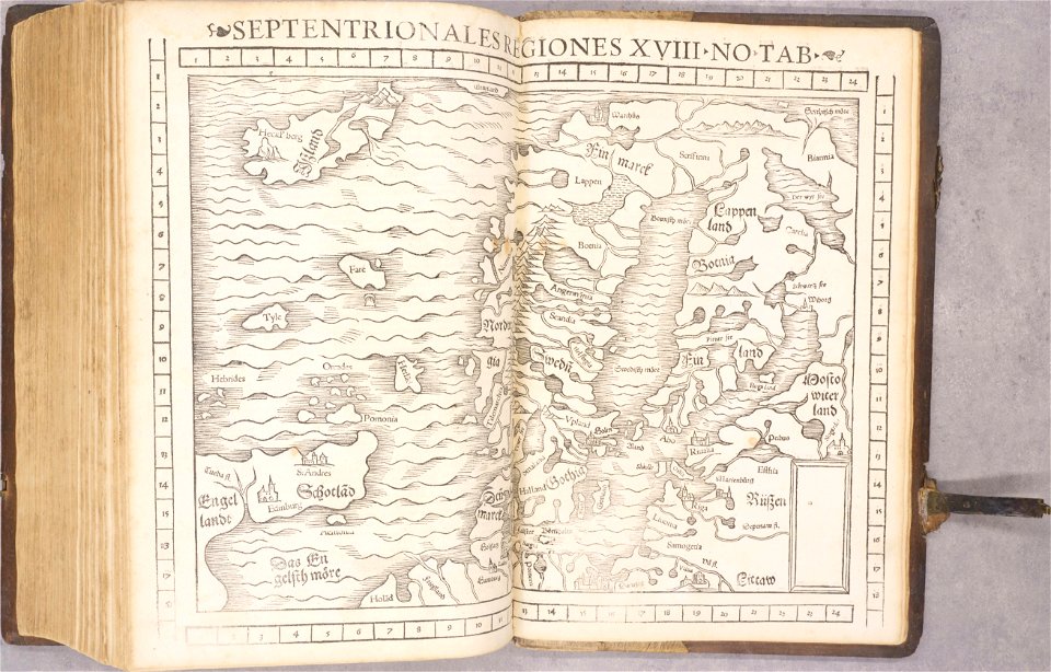
old maps of scandinavia
1552
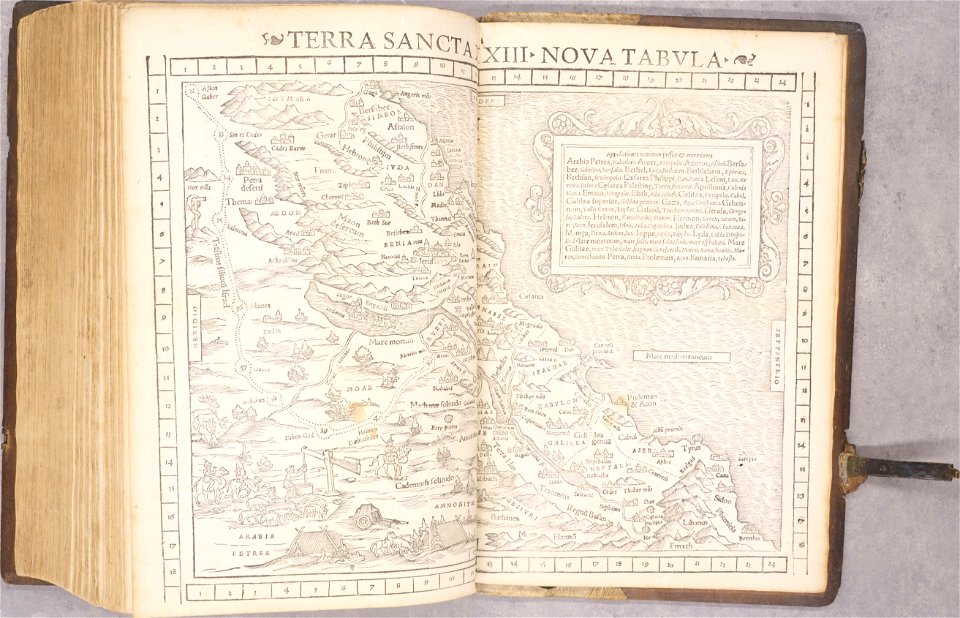
old maps of palestine
1552
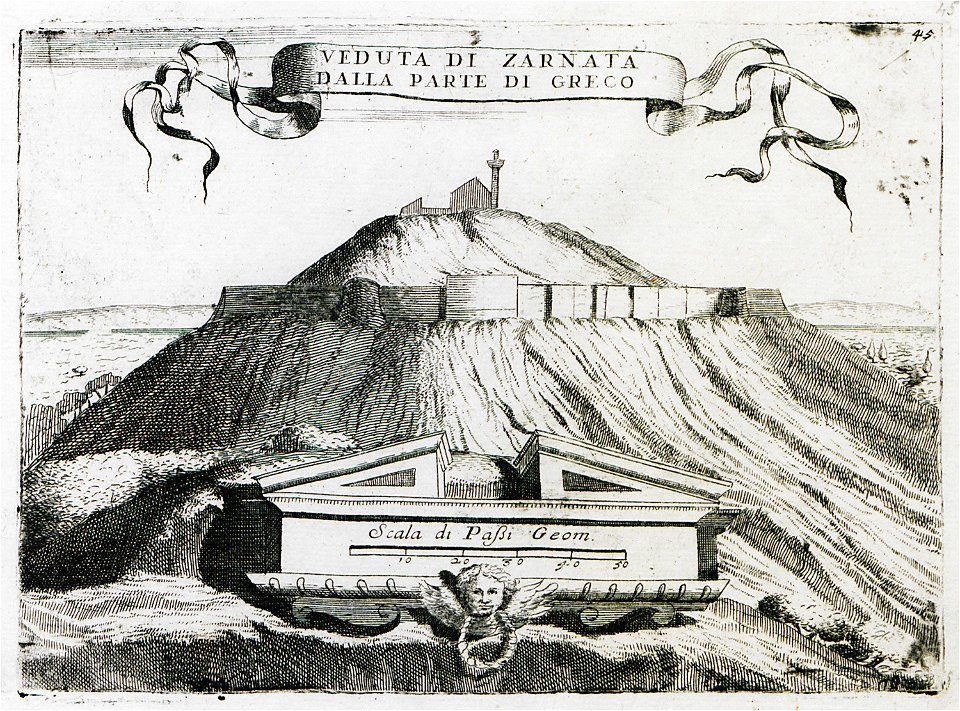
travels in sicily greece and albania
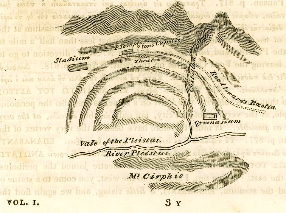
maps of ancient delphi
newport news
virginia
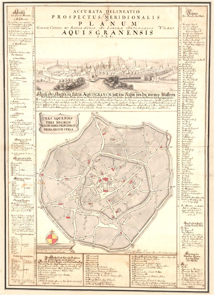
johann joseph couven
old maps of aachen
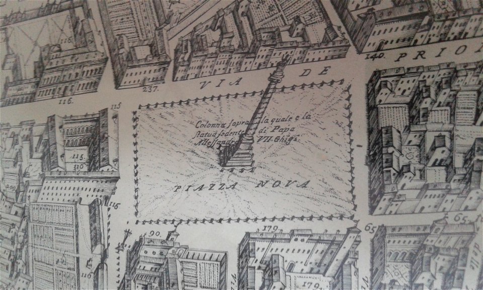
pianta di roma tempesta (1593)
san nicola in arcione
second cataract of the nile
lepsius-projekt - maps
grote kerk in haarlem in art
romeyn de hooghe
graphische sammlung der zentralbibliothek zürich
old maps of zürich
maps in the stadsarchief amsterdam
daniël veelwaard (i)
maps in the stadsarchief amsterdam
daniël veelwaard (i)
breitenlee
aspern
maps by george h. walker and company
university of toronto wenceslas hollar digital collection
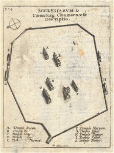
clonmacnoise
historical maps of warsaw
warsaw in the 1840s
university of toronto wenceslas hollar digital collection
prints by wenzel hollar
university of toronto wenceslas hollar digital collection
prints by wenzel hollar
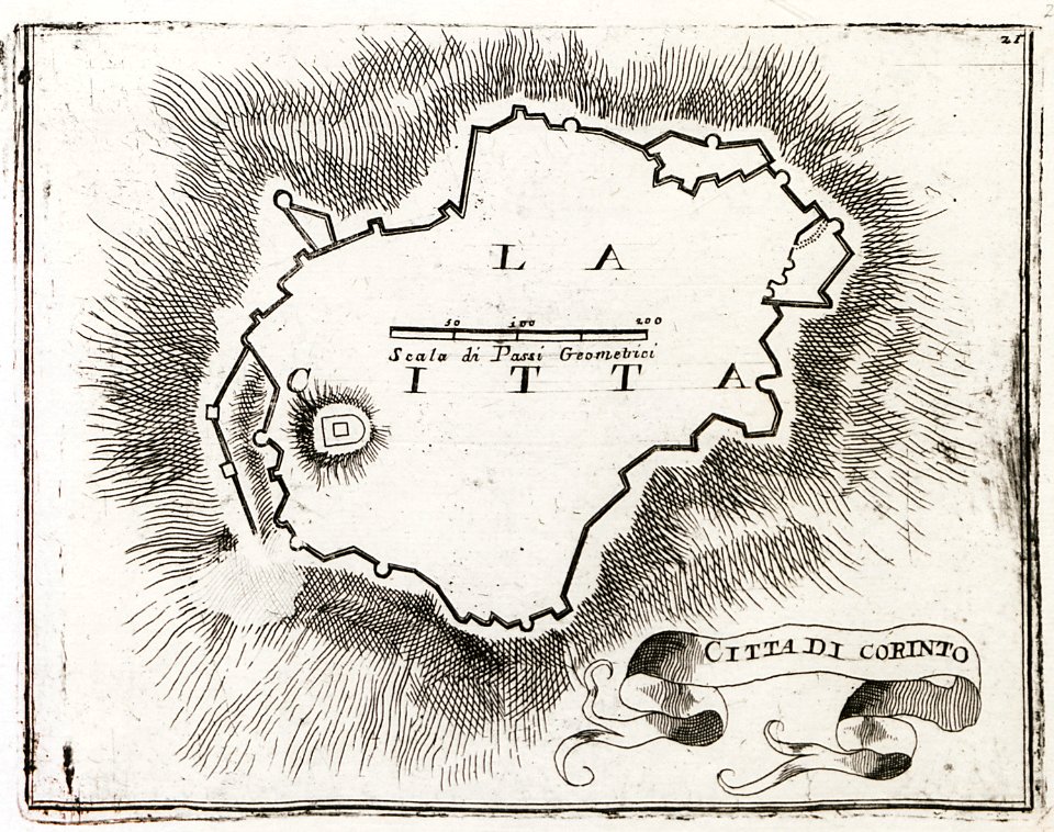
geographical illustrations by coronelli
old maps of the peloponnese
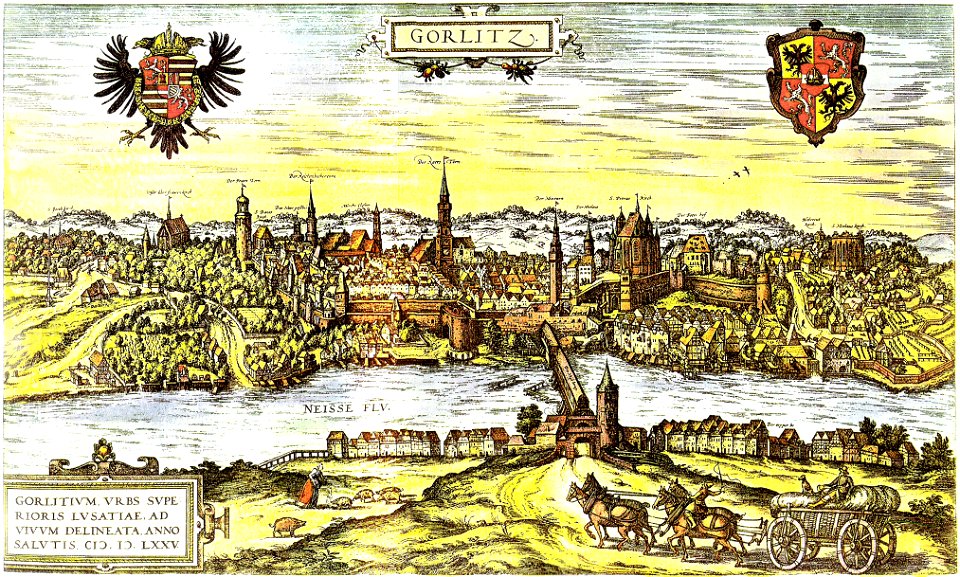
neisse in görlitz
görlitz
prints from the peace palace library
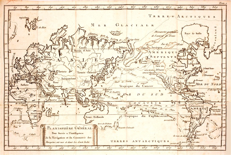
1770s maps of the world
paintings of sitting men reading indoors
1886 paintings
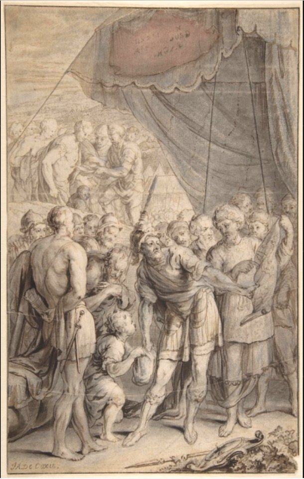
drawings of soldiers
jan anthonie coxie
geographical illustrations by coronelli
old maps of the peloponnese
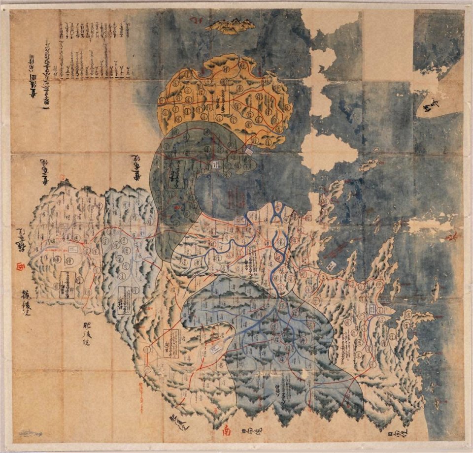
bungo province
keichō kuniezu
volume 6 of le tour du monde
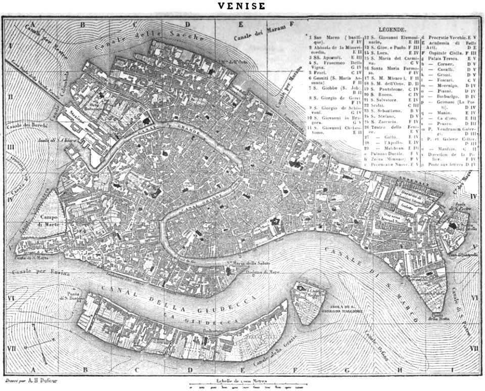
19th-century maps of venice
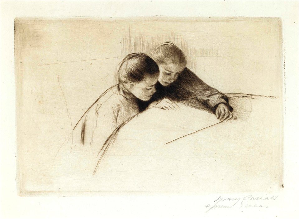
gardner (cassatt) held by his mother
prints by mary cassatt
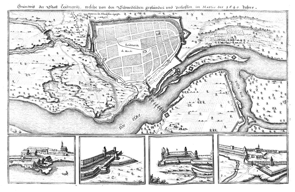
history of the elbe
elbe in litoměřice
louis-françois cassas
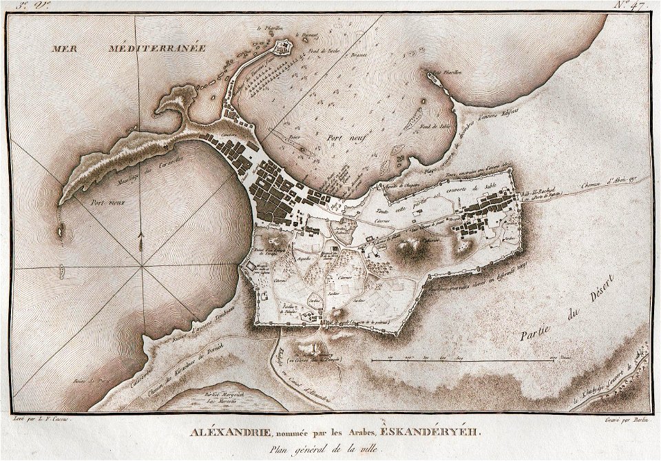
alexandria
braun & hogenberg
copper engraving
königstraße (berlin-wannsee)
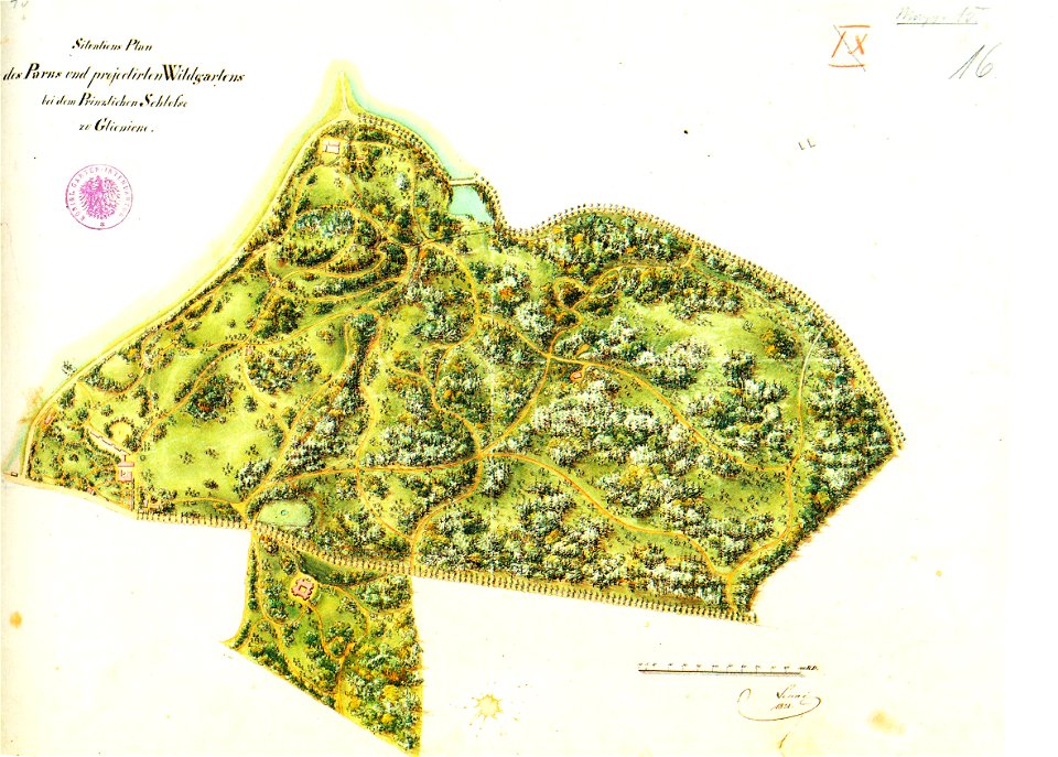
park klein-glienicke
printing
1807
atlante veneto (raremaps.com) volume 2
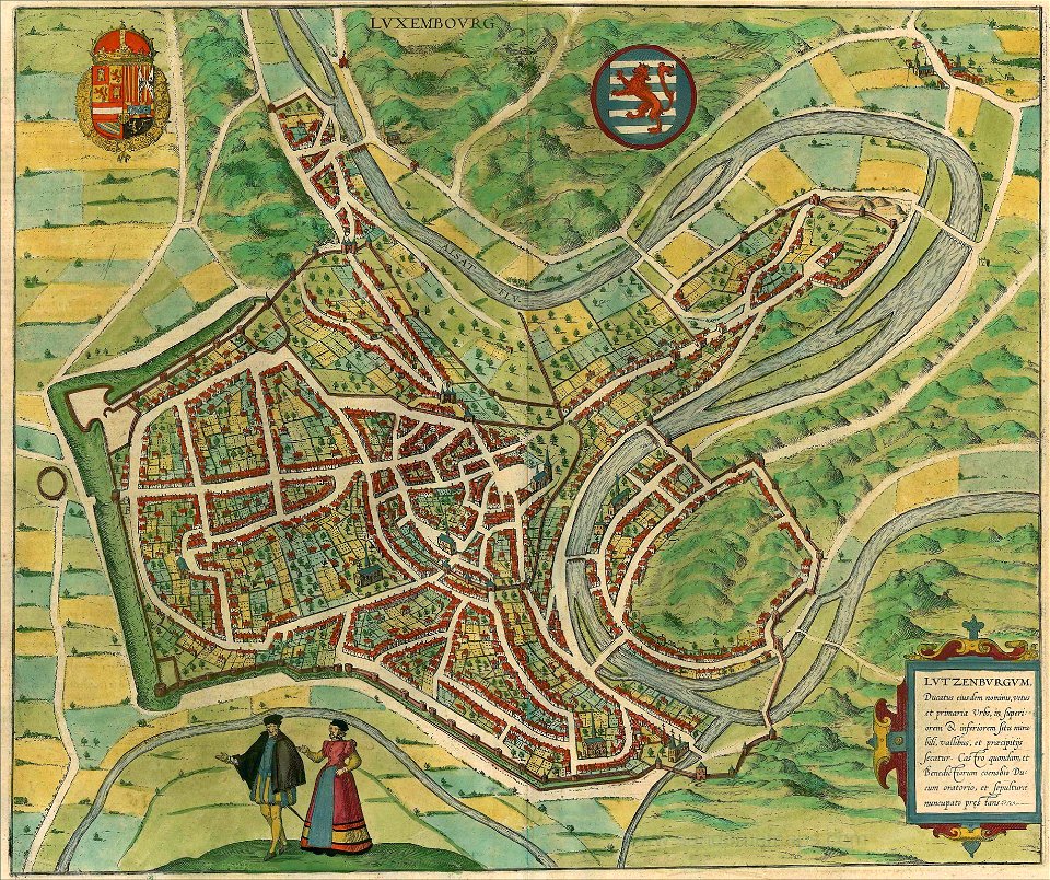
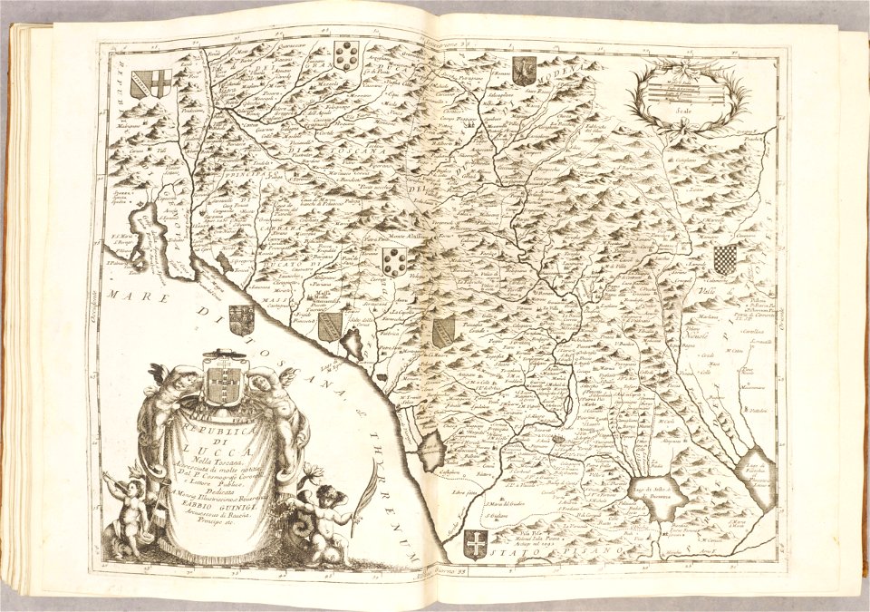
republic of lucca
braun & hogenberg
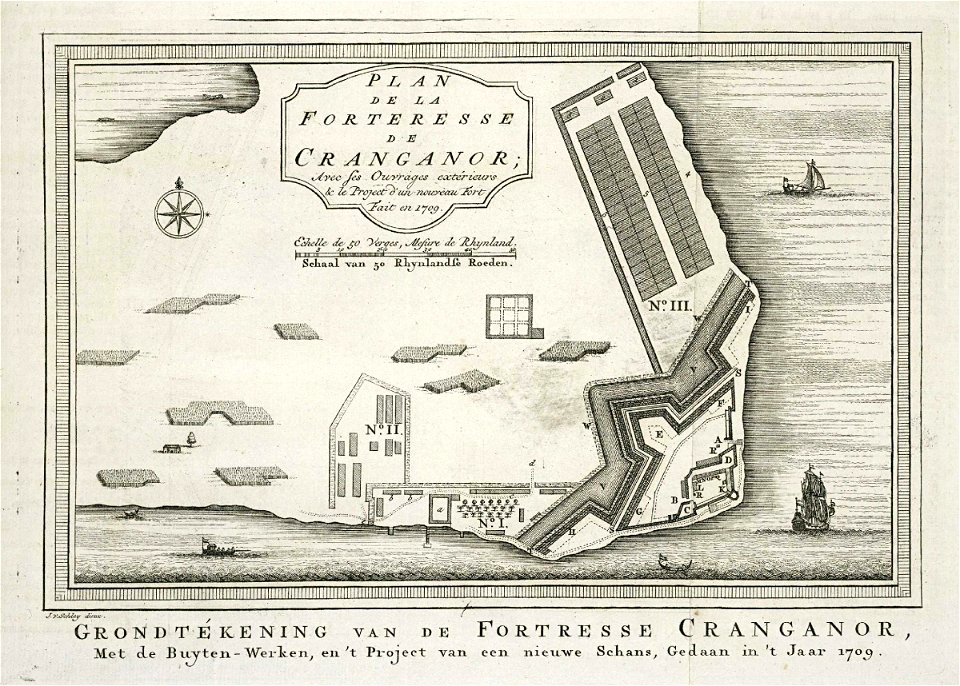
diu
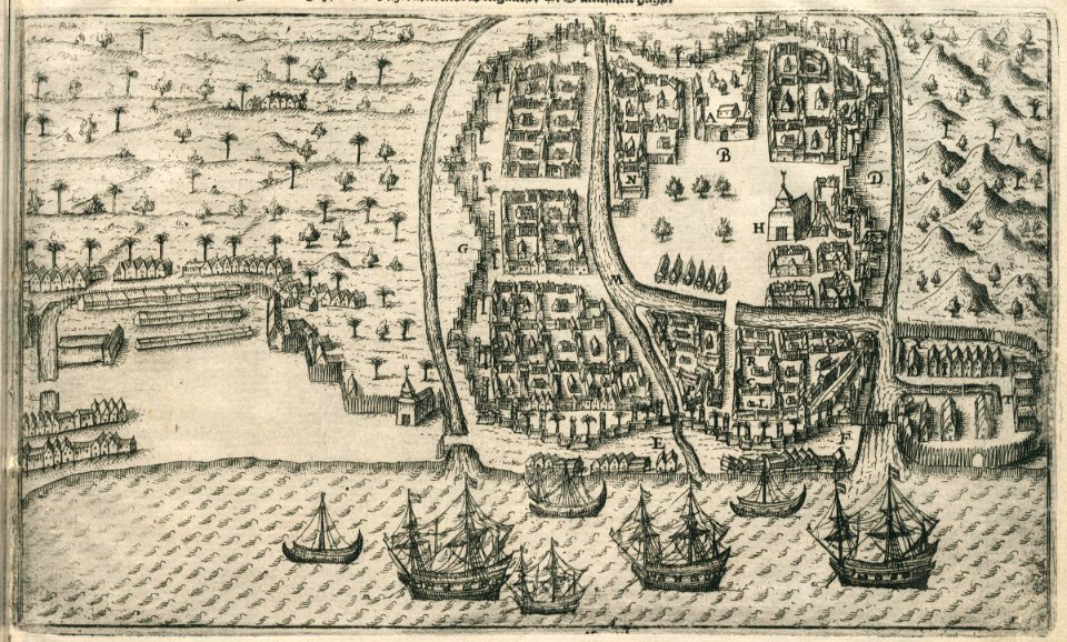
media from atlas of mutual heritage on dutch east india company
1670s
old maps of hulst
atlas beudeker
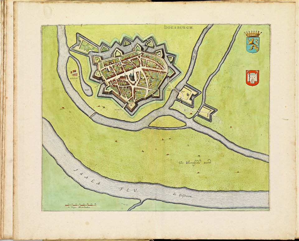
old maps of doesburg
atlas de wit 1698
old maps of zutphen
atlas de wit 1698
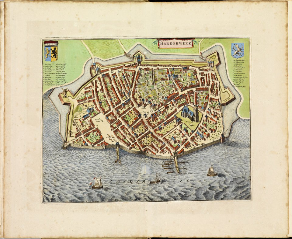
old maps of harderwijk
atlas de wit 1698
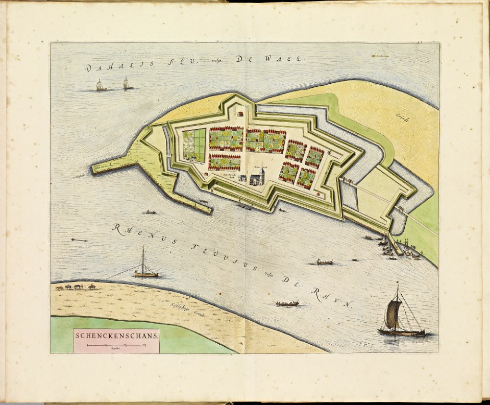
old maps of schenkenschans
atlas de wit 1698
old maps of dordrecht
atlas de wit 1698
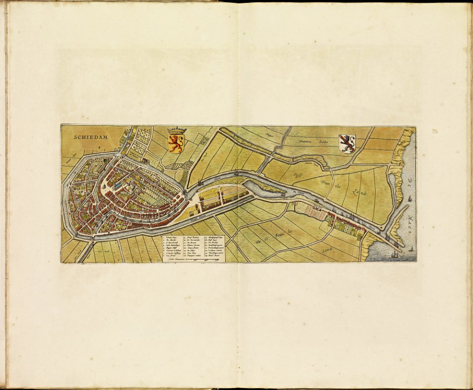
old maps of schiedam
atlas de wit 1698
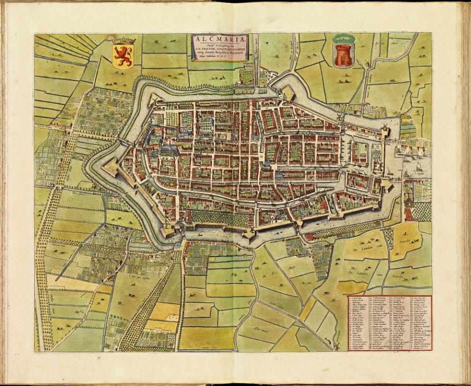
old maps of alkmaar
atlas de wit 1698
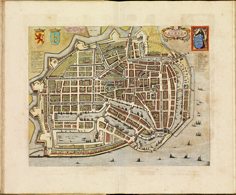
old maps of enkhuizen
atlas de wit 1698
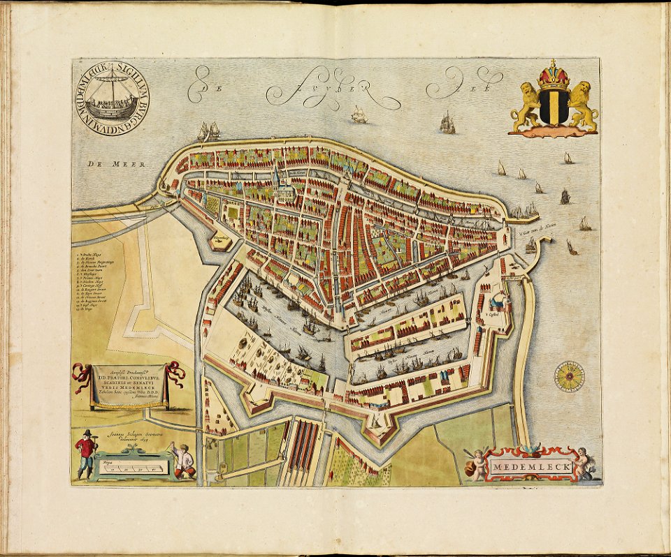
old maps of medemblik
atlas de wit 1698
old maps of monnickendam
atlas de wit 1698
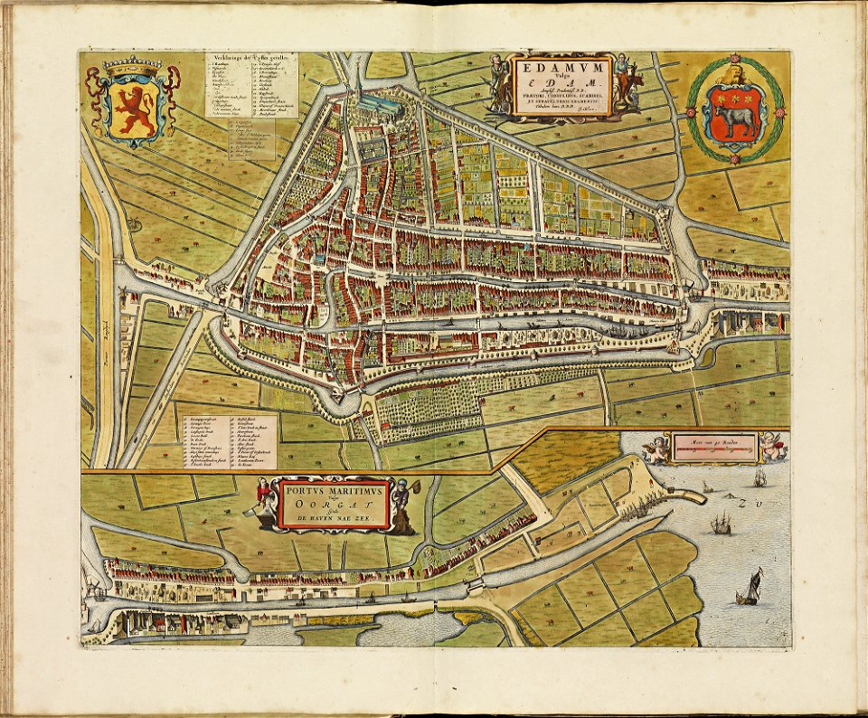
atlas de wit 1698
old maps of edam
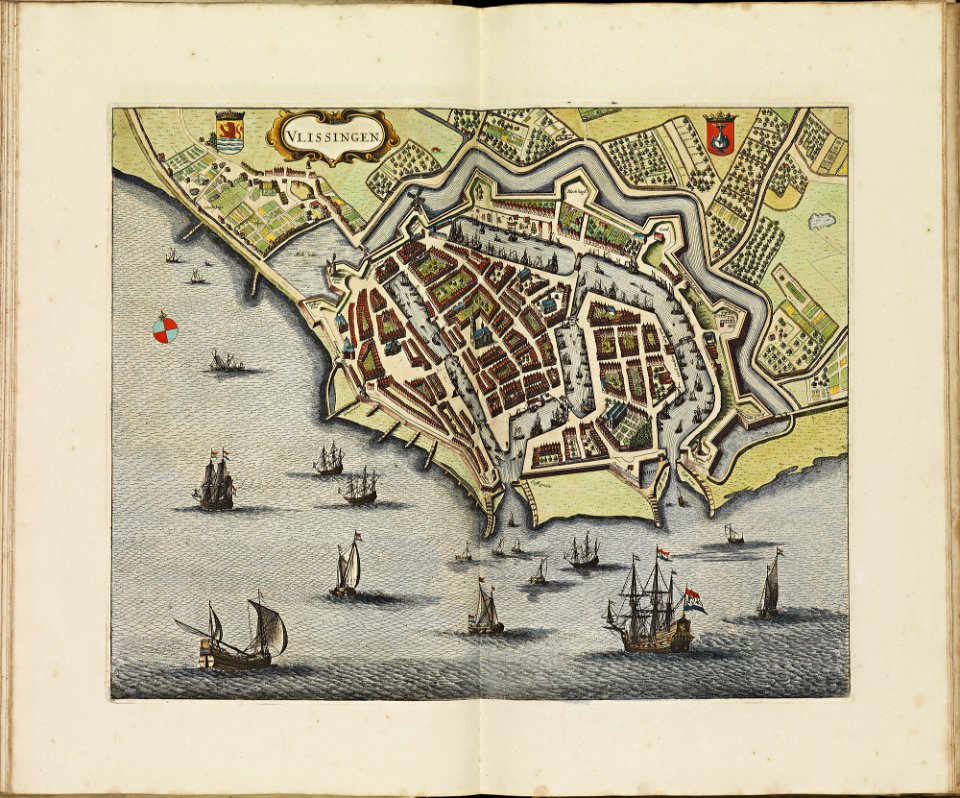
old maps of vlissingen
atlas de wit 1698
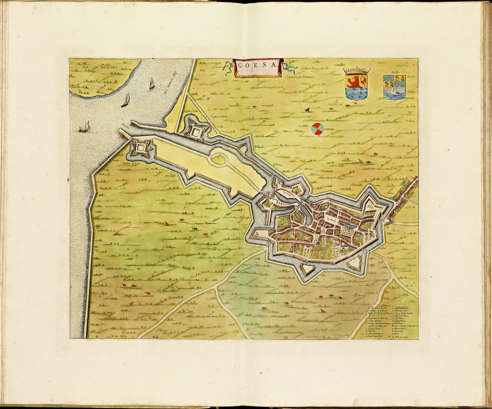
atlas de wit 1698
old maps of goes
old maps of oldenzaal
atlas de wit 1698
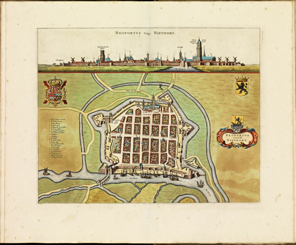
old maps of nieuwpoort
atlas de wit 1698
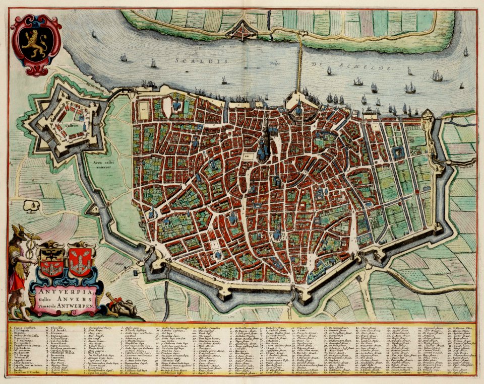
johannes blaeu - map of antwerp
atlas van loon
geographical illustrations by coronelli
old maps of the peloponnese
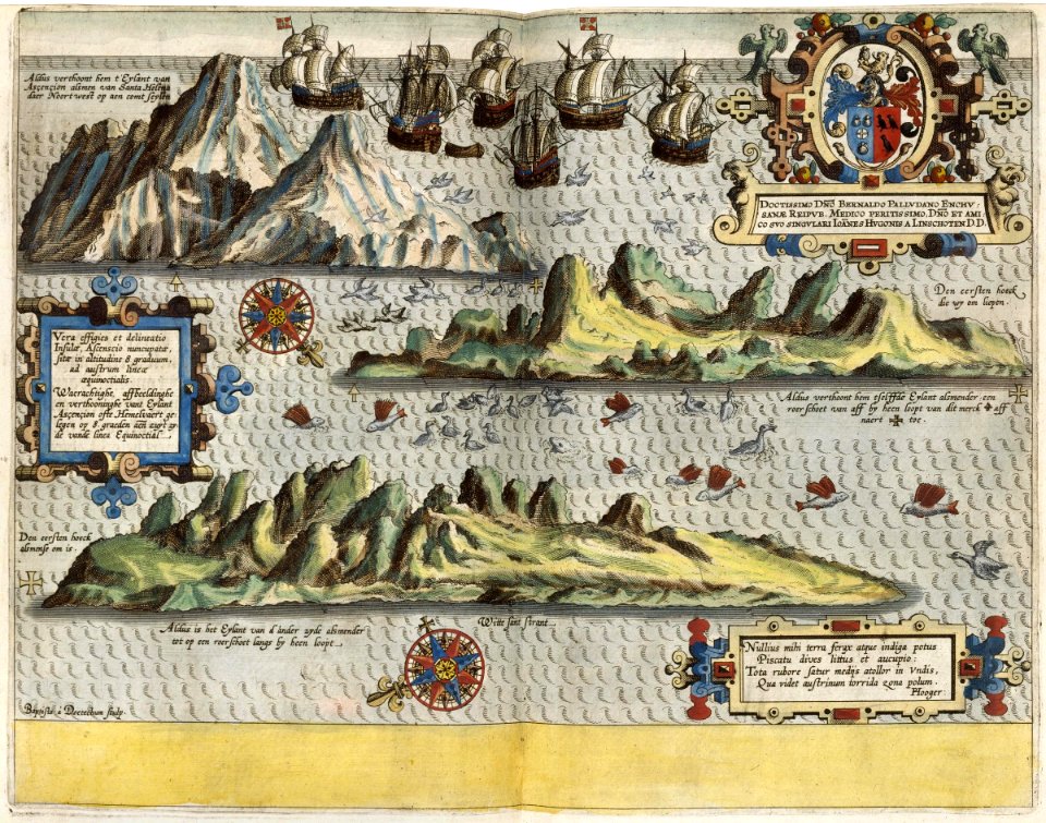
itinerario (jan huygen van linschoten)
1596
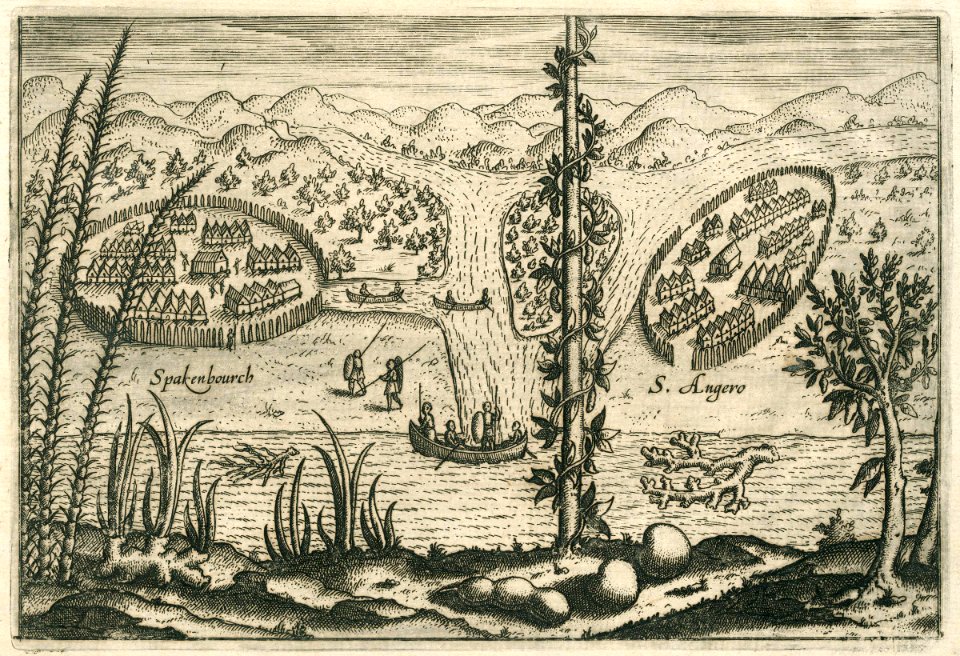
maps of the dutch east india company - madagascar
1598
maps of the west-indische compagnie
1644
maps of the dutch east india company - indonesia
1598
maps of the dutch east india company - india
1755
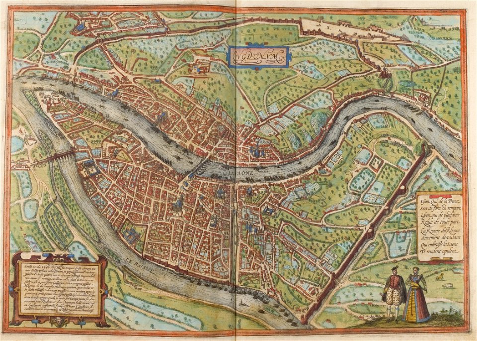
confluence of the rhône and saône rivers
historical images of lyon
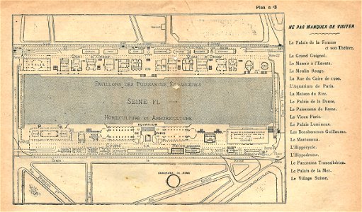
illustrations du catalogue remboursable de l'expo 1900
maps of the exposition universelle (1900)
illustrations du catalogue remboursable de l'expo 1900
maps of the exposition universelle (1900)
map of ferrara by andrea bolzoni
corso della giovecca (ferrara)
map of ferrara by andrea bolzoni
addizione erculea
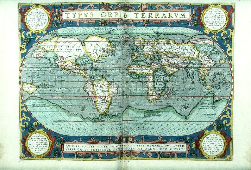
asia and africa
1813 maps
files from the bodleian libraries
old maps of the world
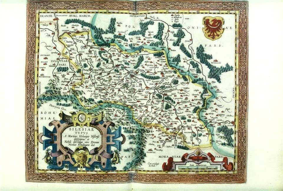
files from the bodleian libraries
old maps of silesia
12701 - 12800 of 357,549
Next page
/ 3576