Log in
All resources
Create a design
Tools
357,549 Free Images of Map
maps
maps in the library of congress
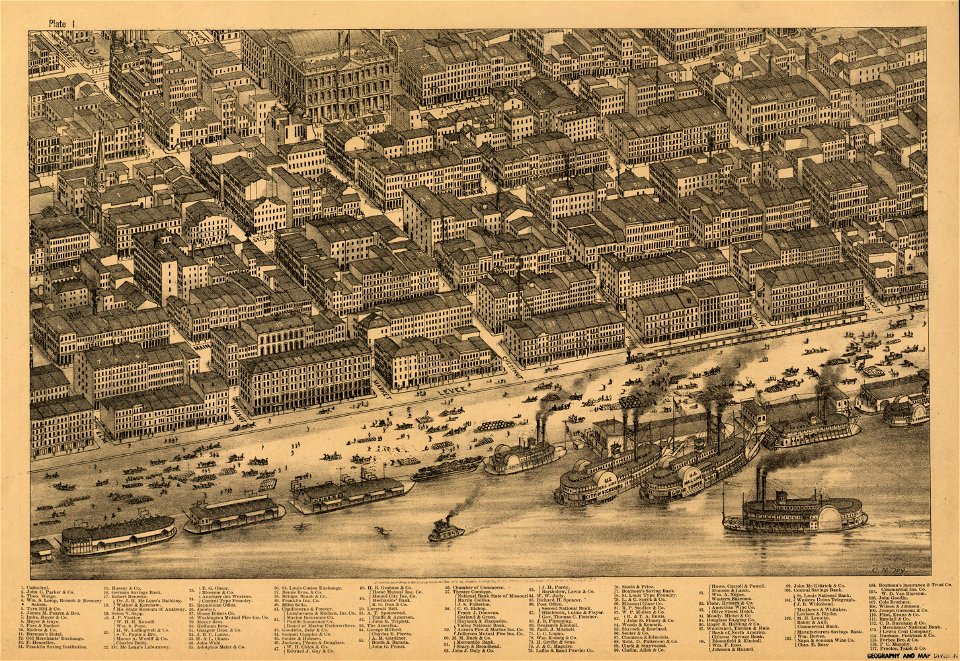
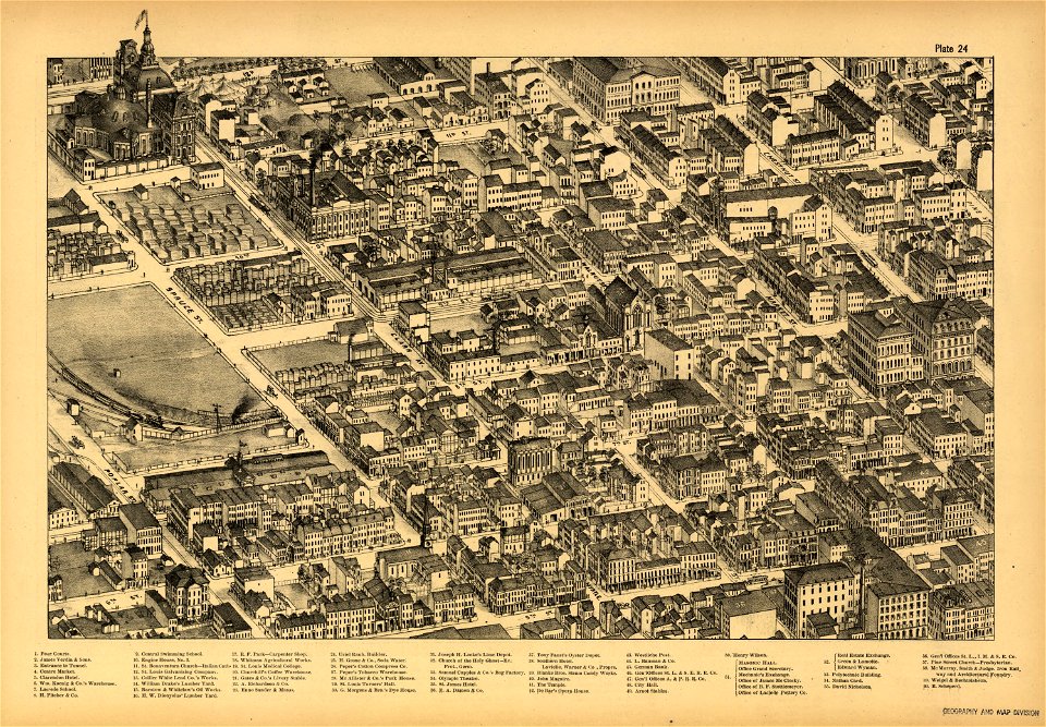
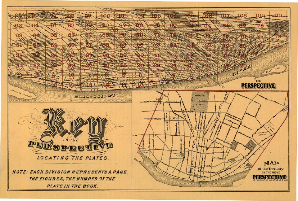
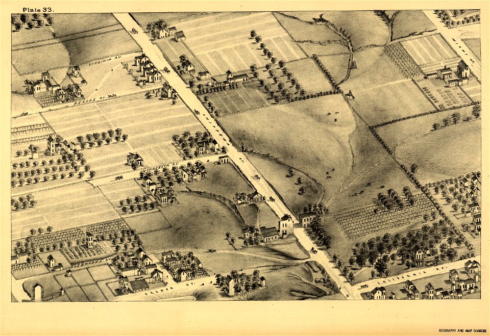
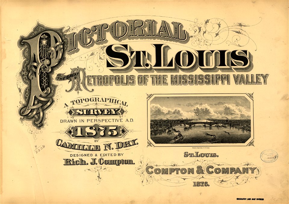
pictorial st. louis
the great metropolis of the mississippi valley; a topographical survey drawn in perspective a.d. 1875
background
abstract
wall
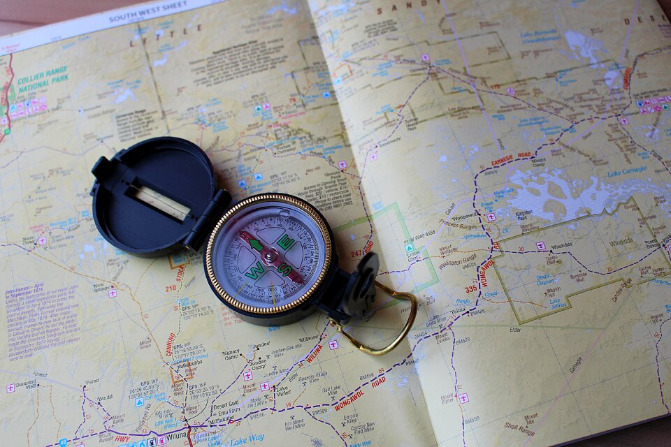
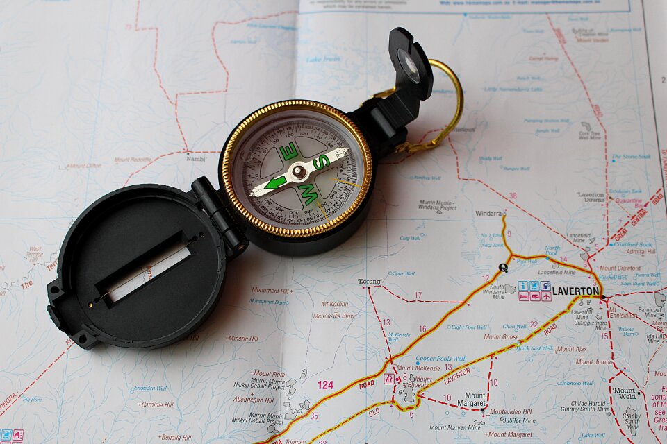
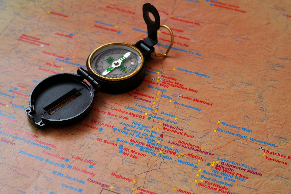
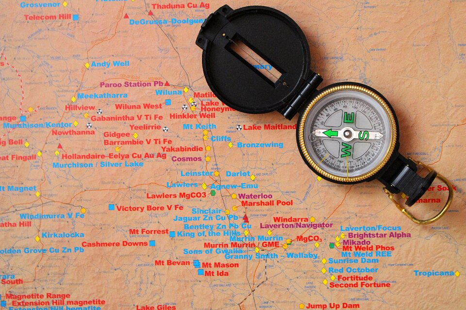
compass
navigation
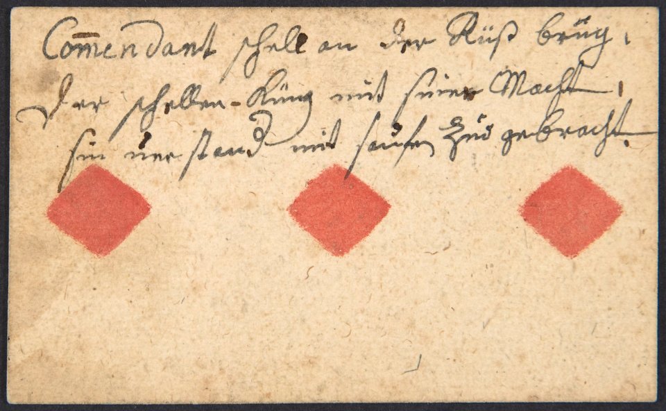
postcard
background
maps
background
maps
background
maps
background
maps
background
maps
background
maps
background
maps
illustration
fashion
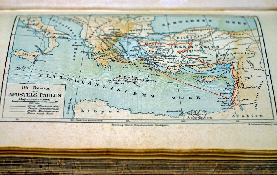
maps made in the 18th century
jeremias wolff
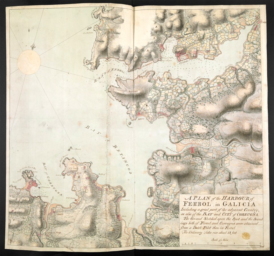
old maps of the province of a coruña
1767 in galicia (spain)
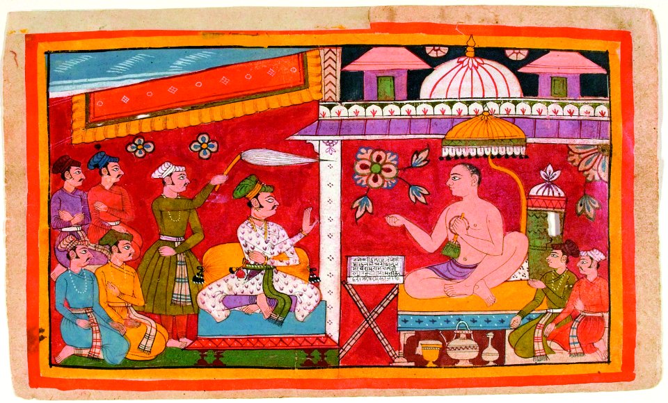
san diego museum of art
1636 in art
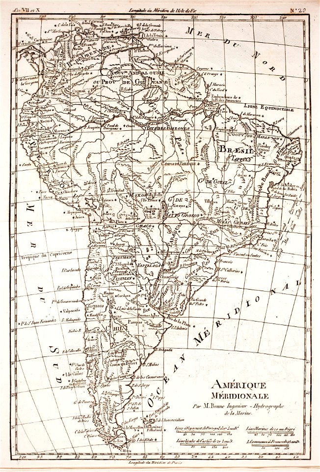
1780s maps of south america
1780 in south america
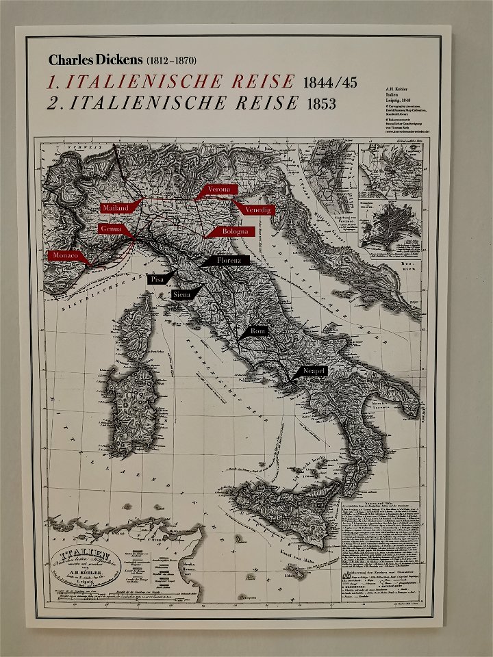
charles dickens
route
dutch 17th-century prints in the rijksmuseum amsterdam
jan janssonius
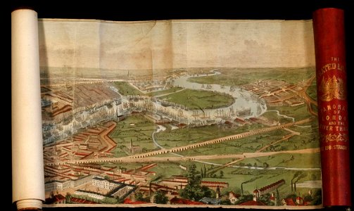
the illustrated london news 1845
river thames in london in art
artworks with known accession number
artworks without wikidata item
maps in skokloster castle
1770 maps
background
maps
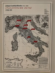
johann gottfried herder
route
maps made in the 18th century
johann baptist homann
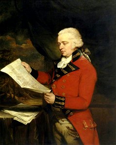
male portrait paintings in national trust places
paintings by william beechey
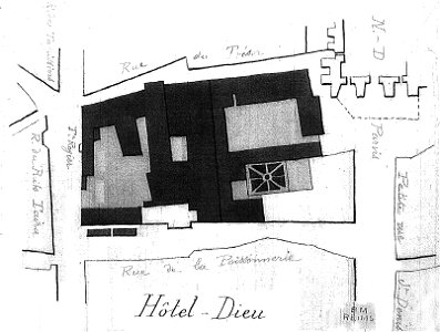
bibliothèque municipale de reims
hôtel-dieu of reims
artworks with known accession number
artworks without wikidata item
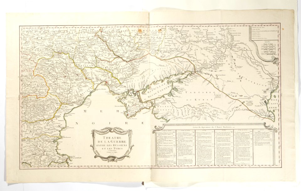
topographic maps made in 18th century
battaglia di malplaquet. 1709
paintings by adolph von menzel
tourism
historical images of place de l'hôtel-de-ville - esplanade de la libération
historical images of hôtel de ville de paris
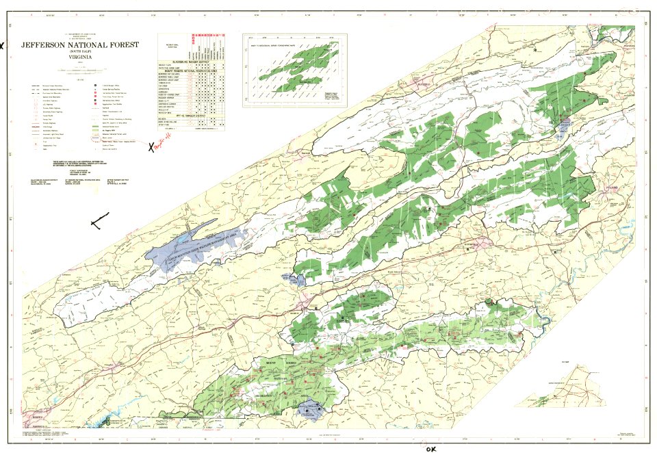
maps of national forests of the united states
trail map
maps in skokloster castle
malmöhus slott
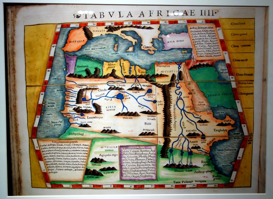
maps of africa in the robert c. williams paper museum
card
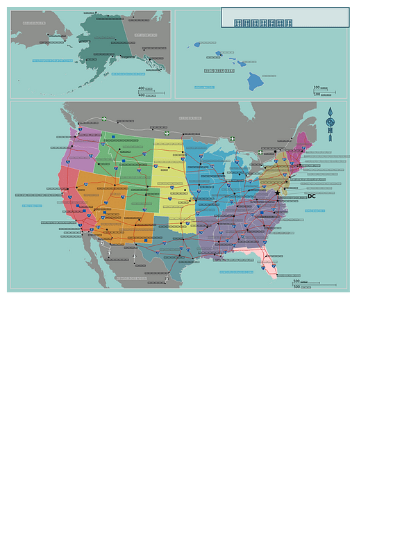
old maps of the united states
maps of virginia
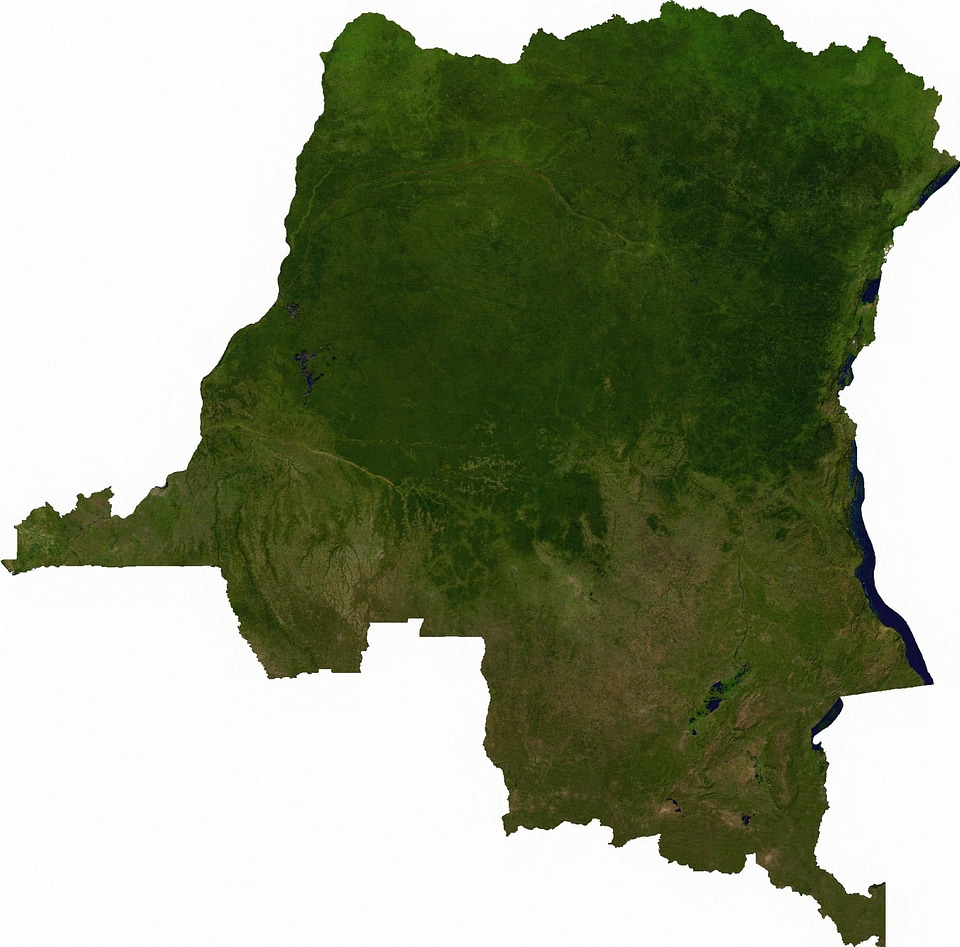
earth
maps
compass
maps
compass
maps
compass
maps
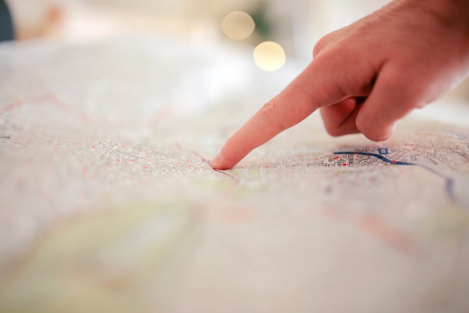
travel
maps
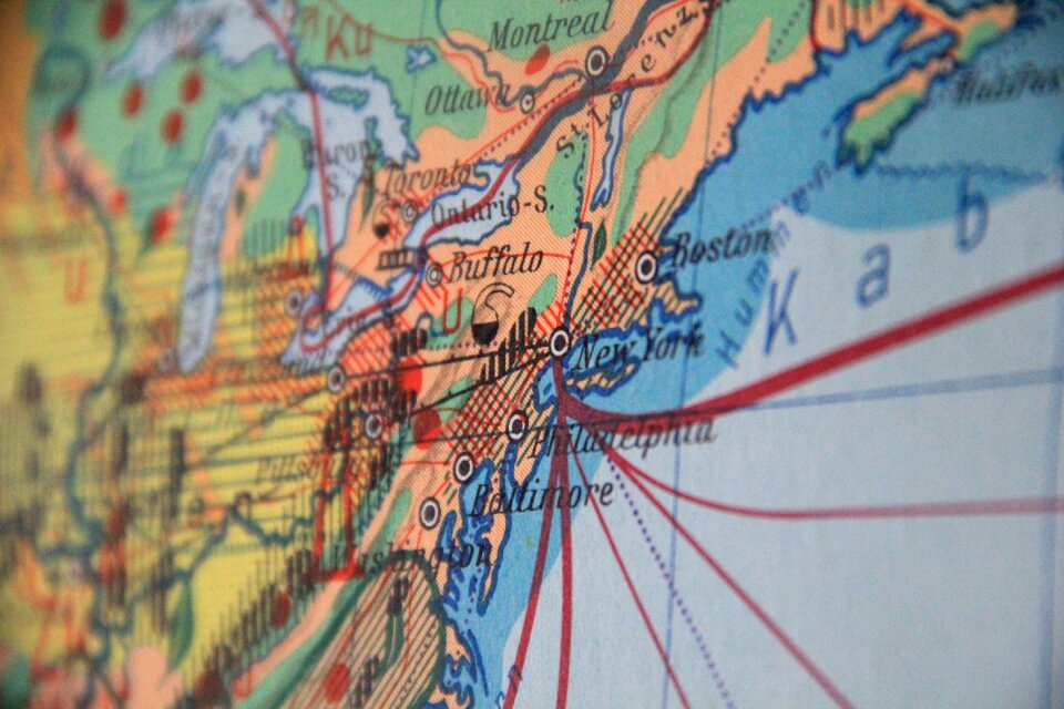
new york
maps
maps
land
maps
food
flower
maps
maps
fun
architecture
ink
textures
dirt
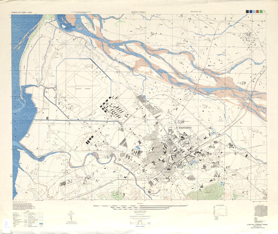
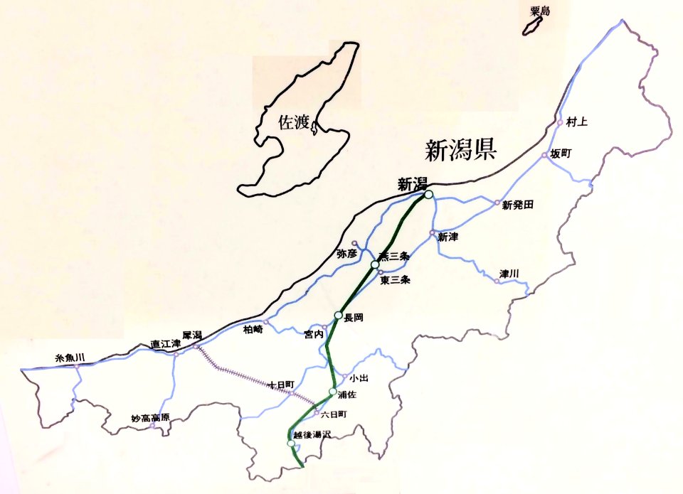
old maps of hsinchu city
1945 maps of taiwan
unidentified maps
maps by willem and johannes blaeu
atlas van loon
artworks with known accession number
artworks without wikidata item
vintage
head
old maps of greece
olfert dapper
travel
maps
woman
maps
maps
land
compass
maps
light weight aggregates
aggregate
brick
wall
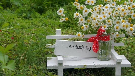
valentine's day
maps
maps
land
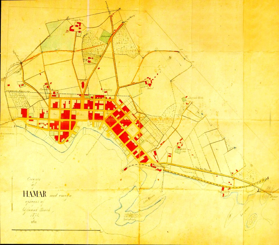
1874 maps of norway
old maps of hamar
usgs maps by state of the united states
tiny
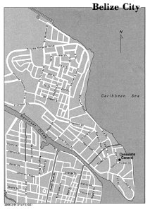
belize city in the 1980s
maps of belize
geography
maps
maps
sea
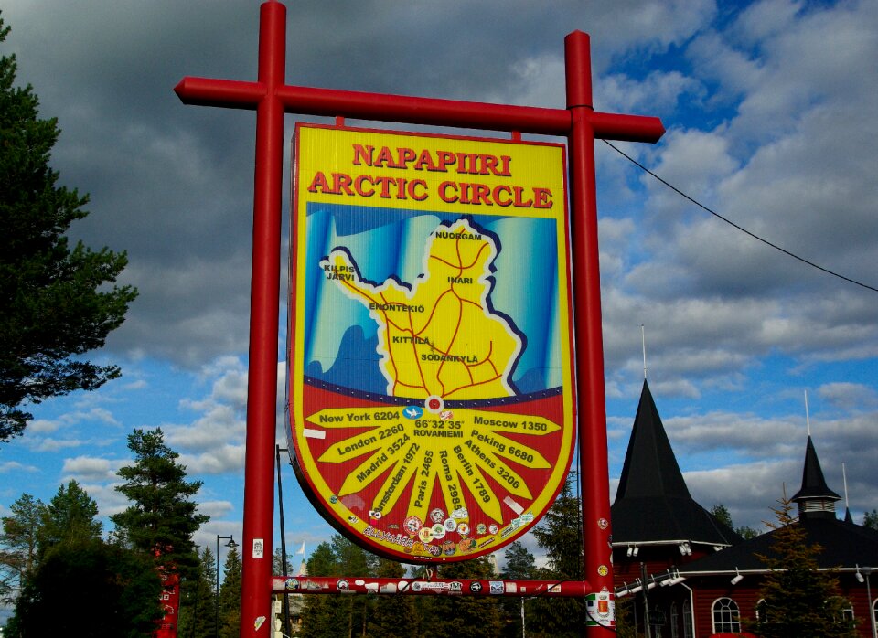
finland
maps
brown
maps
camera
book
compass
maps
poland
maps
brick
wall
earth
maps
flower
maps
yellow
volume
coffee
maps
operation rah-e-nijat
maps of waziristan
united states
pd-author
vector images using elements from other vector images
self-published work
maps
ship
self-published work
pages with maps
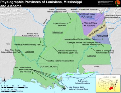
physiographic provinces of the united states
maps of louisiana
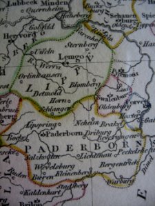
old maps of prince-bishopric of paderborn
maps of corvey (stift and hochstift)
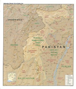
topographic maps of afghanistan
old maps of pakistan
maps in skokloster castle
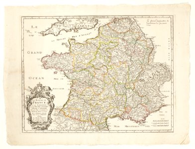
maps by nicolas sanson
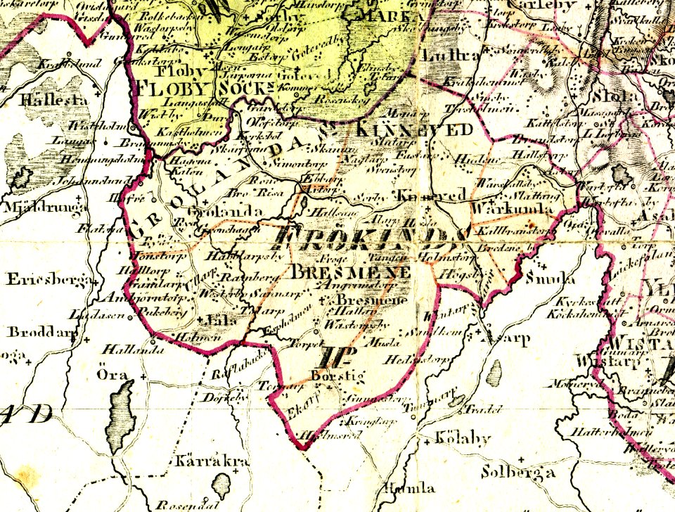
old maps of västergötland
frökinds härad
maps in skokloster castle
maps by nicolas sanson
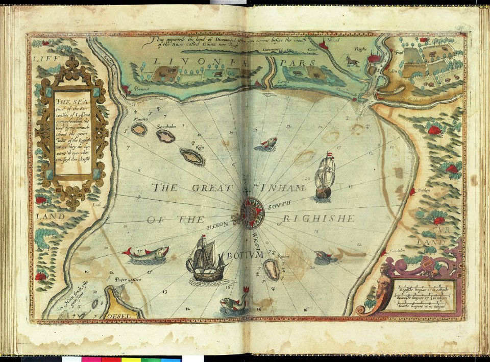
san diego museum of art
1636 in art
charts and maps of the royal museums greenwich
lucas janszoon waghenaer
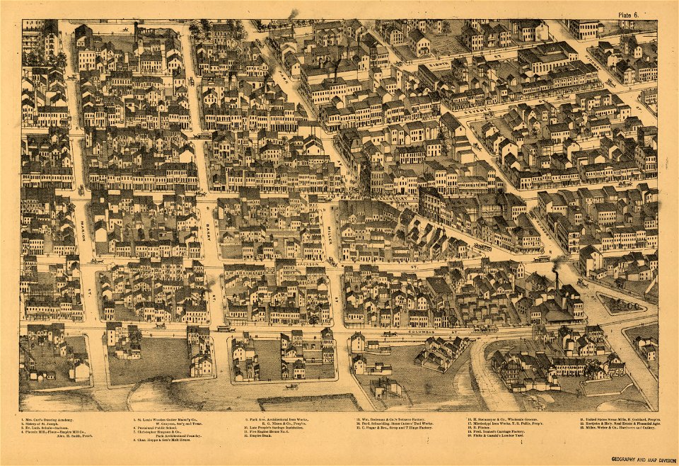
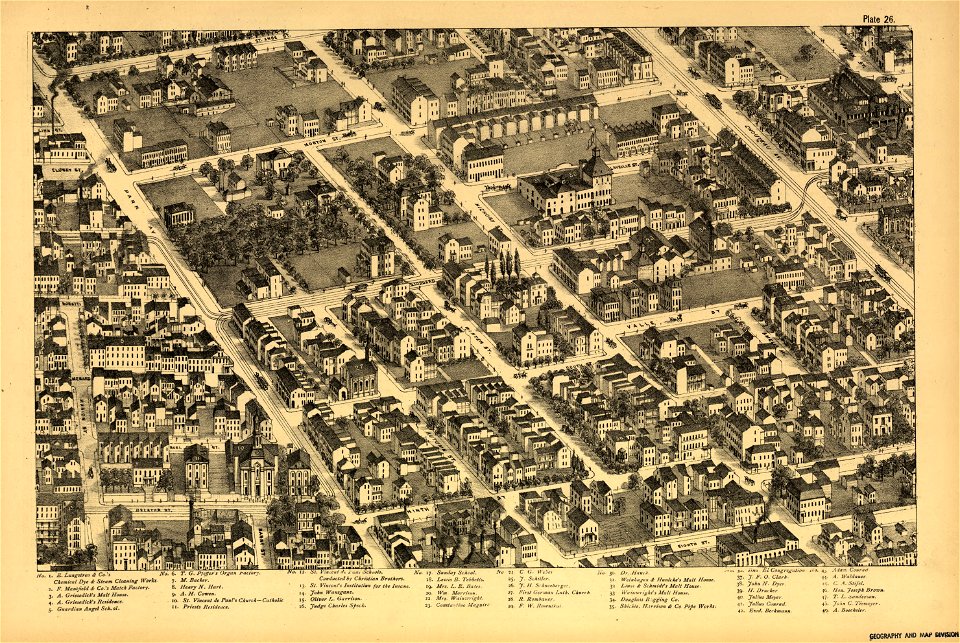
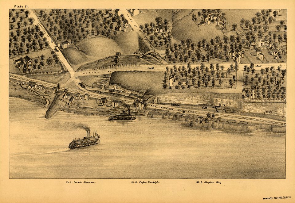
maps in the library of congress
pictorial st. louis
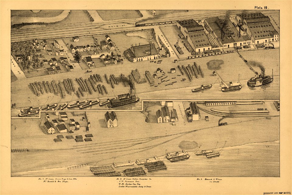
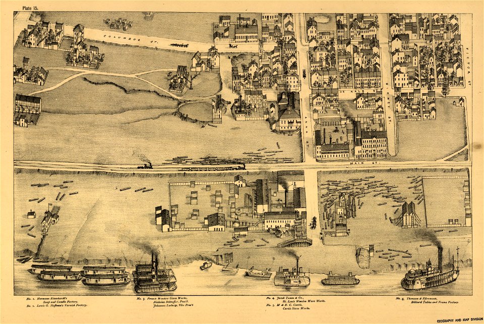
maps in the library of congress
pictorial st. louis
maps in the library of congress
pictorial st. louis
maps in the library of congress
pictorial st. louis
maps in the library of congress
pictorial st. louis
maps in the library of congress
pictorial st. louis
maps in the library of congress
pictorial st. louis
maps in the library of congress
pictorial st. louis
maps in the library of congress
pictorial st. louis
maps in the library of congress
pictorial st. louis
maps in the library of congress
pictorial st. louis
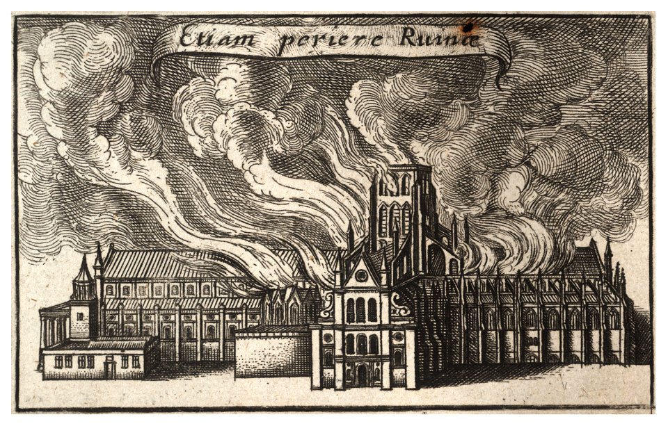
architectural prints by wenzel hollar
great fire of london
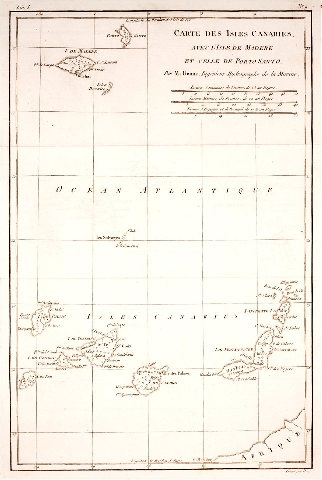
prints from bonne atlas de toutes les parties at the peace palace library
old maps of the british isles
prints from bonne atlas de toutes les parties at the peace palace library
old maps of the canary islands
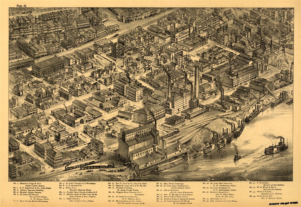
maps in the library of congress
pictorial st. louis
maps in the library of congress
pictorial st. louis
15301 - 15400 of 357,549
Next page
/ 3576