Log in
All resources
Create a design
Tools
357,549 Free Images of Map
maps in the library of congress
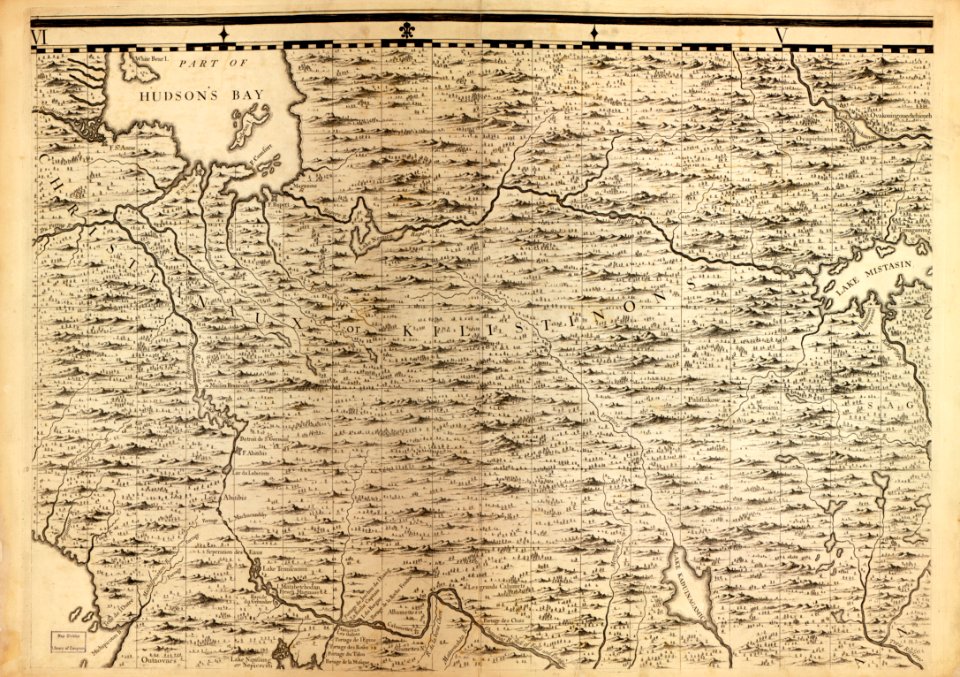
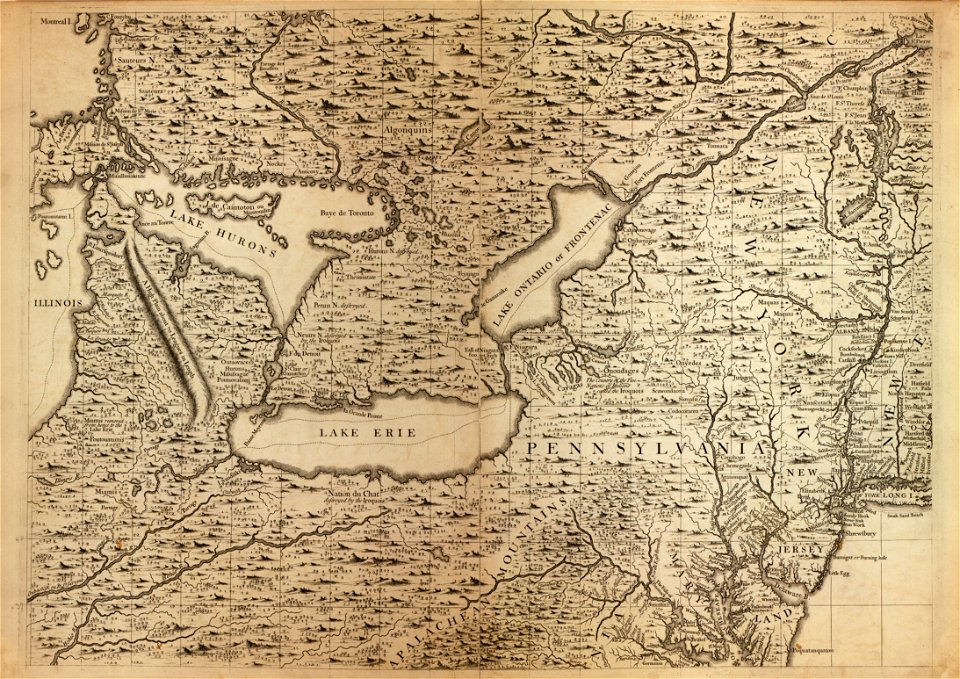
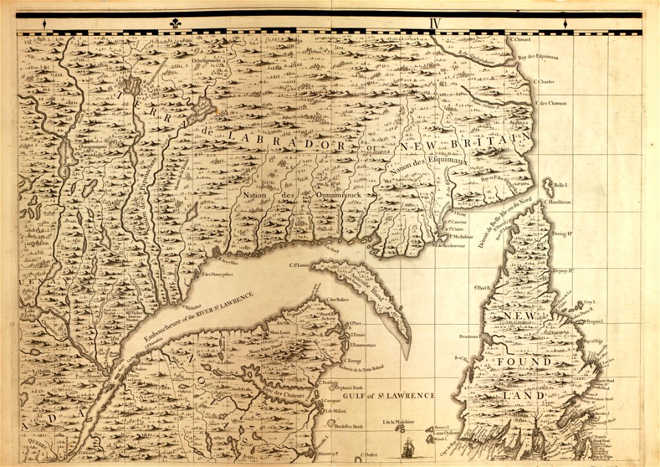
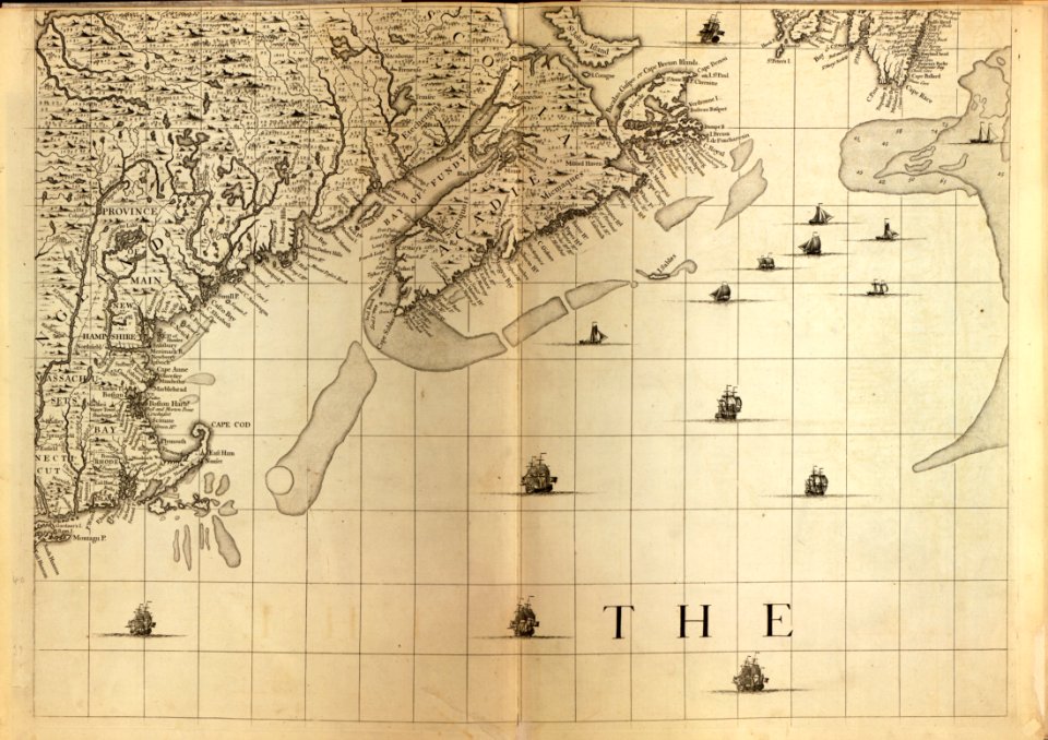
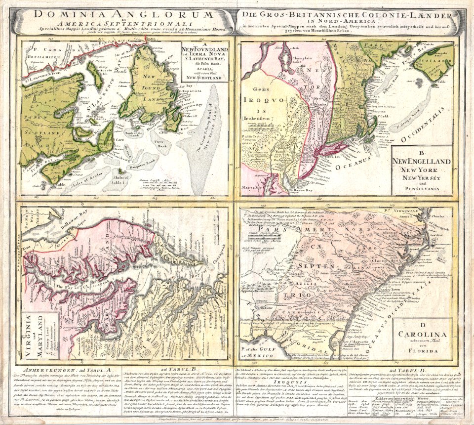
a map of the british empire in america with the french and spanish settlements adjacent thereto
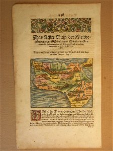
description de l'universe
new york
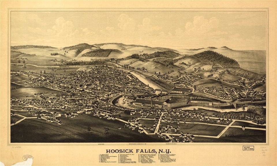
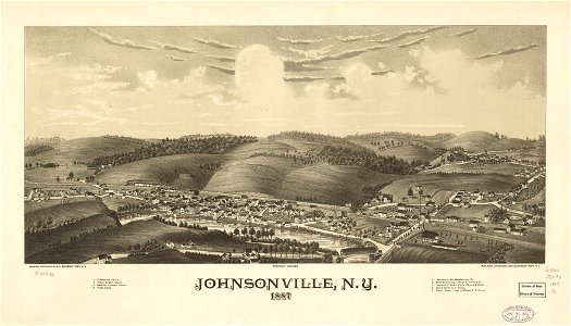
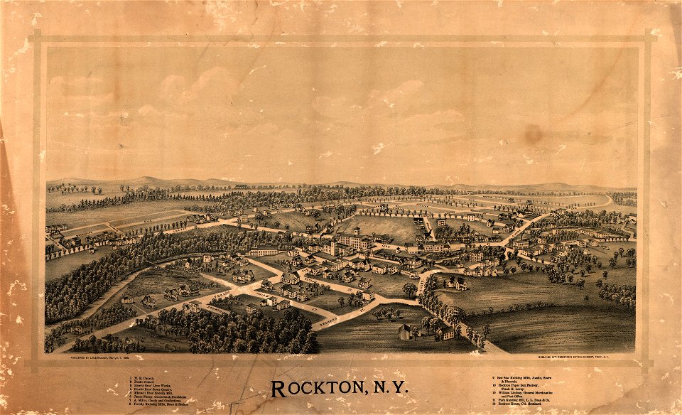
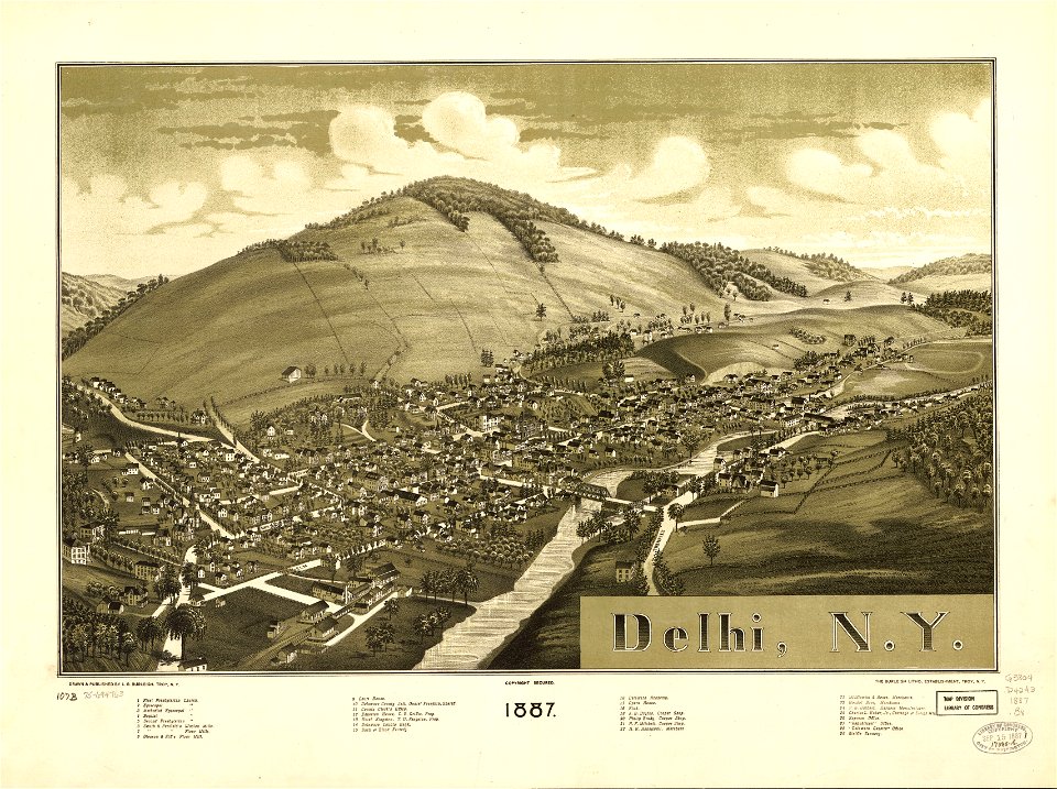
town maps by l. r. burleigh
l. r. burleigh
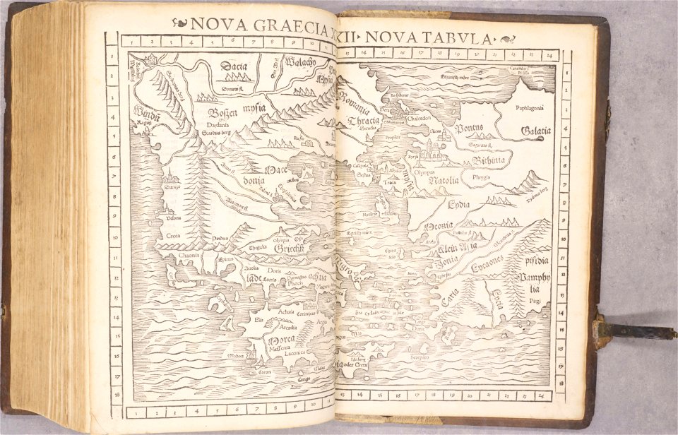
cosmographia (1600) by sebastian münster
albert ruger
1869 maps
charts and maps of the royal museums greenwich
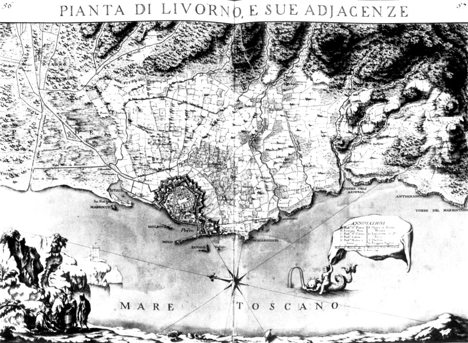
old maps of livorno
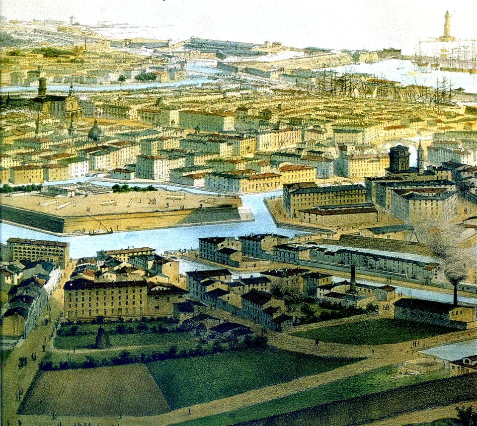
livorno
old maps of livorno
old maps of livorno
description de l'universe
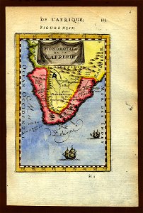
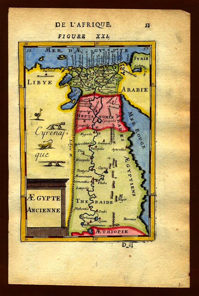
1719 maps of africa
description de l'universe
1683 maps of africa
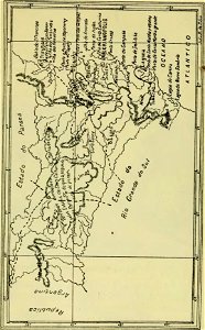
old maps of santa catarina
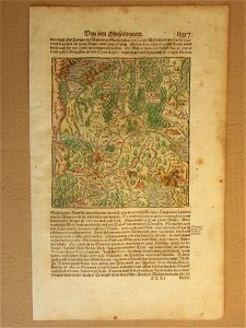
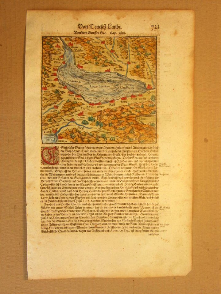
cosmographia (1600) by sebastian münster
old maps of moscow
cosmographia (1600) by sebastian münster
old map
cosmographia (1600) by sebastian münster
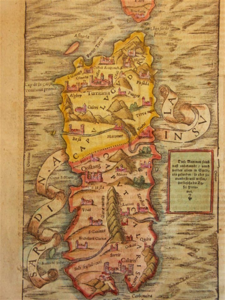
old maps of sardinia
description de l'universe
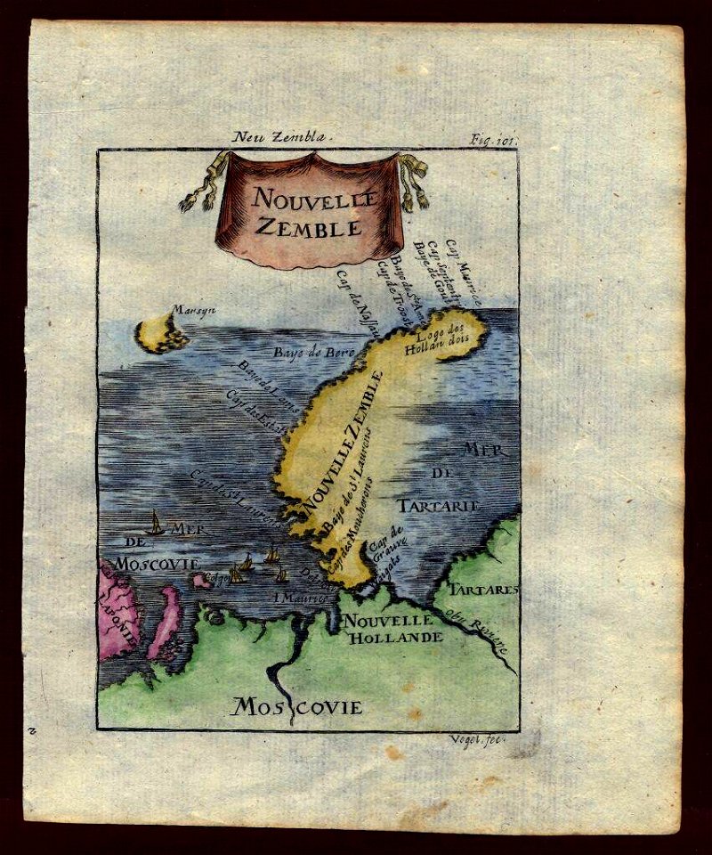
maps of novaya zemlya
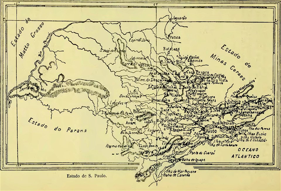
old maps of são paulo
maps of polders in north holland
maps of haarlemmermeer
cosmographia (1600) by sebastian münster
1600s maps of africa
description de l'universe
1680s maps of egypt
17th-century maps of france
description de l'universe
cosmographia (1600) by sebastian münster
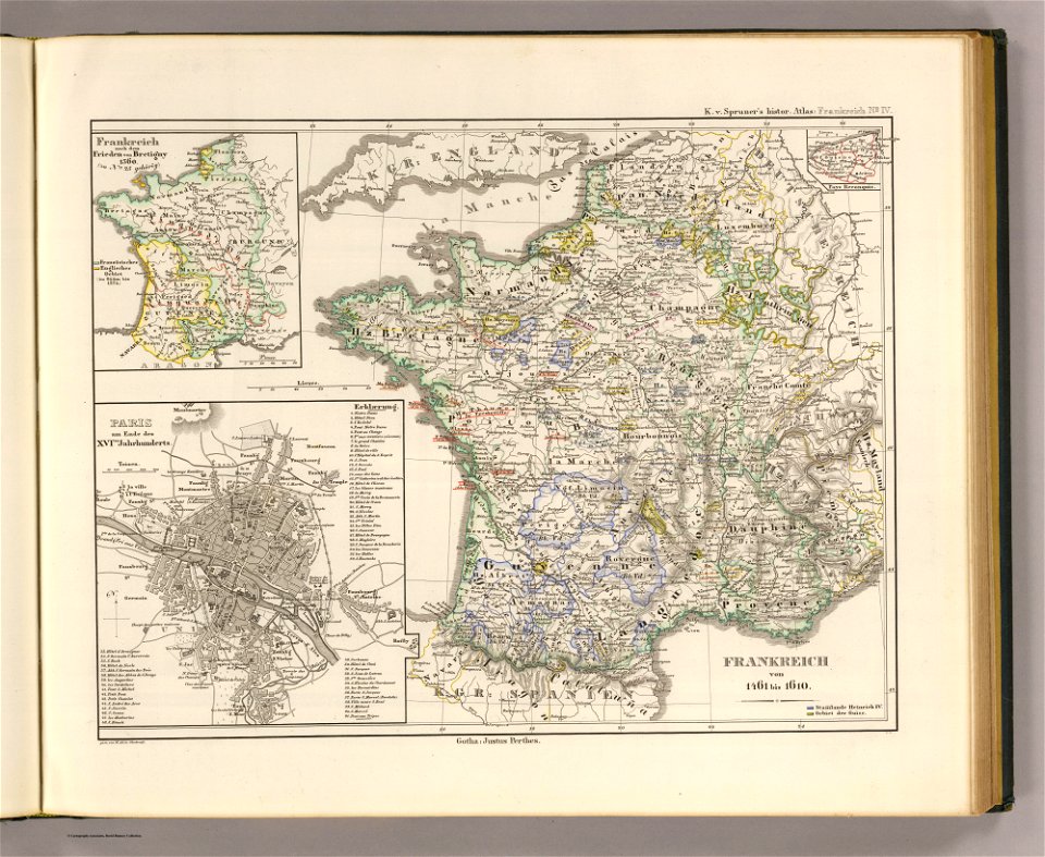
maps of the history of france
description de l'universe
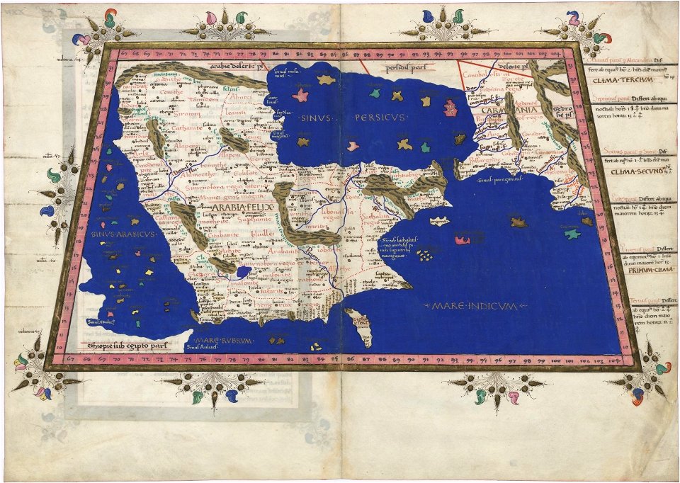
old maps of saudi arabia
description de l'universe
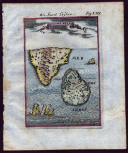
old maps of sri lanka
harrewijn
1785
geographical illustrations by coronelli
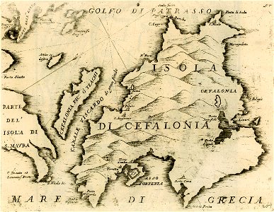
maps of kefalonia
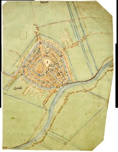
map of gouda by jacob van deventer
description de l'universe
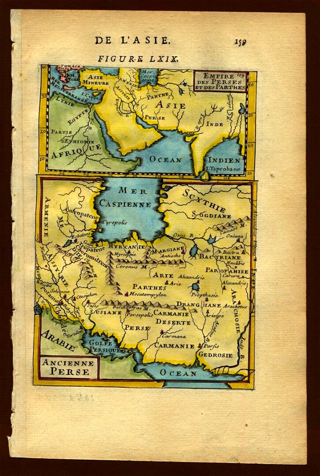
1683 maps of iran
cosmographia (1600) by sebastian münster
old maps of friesland
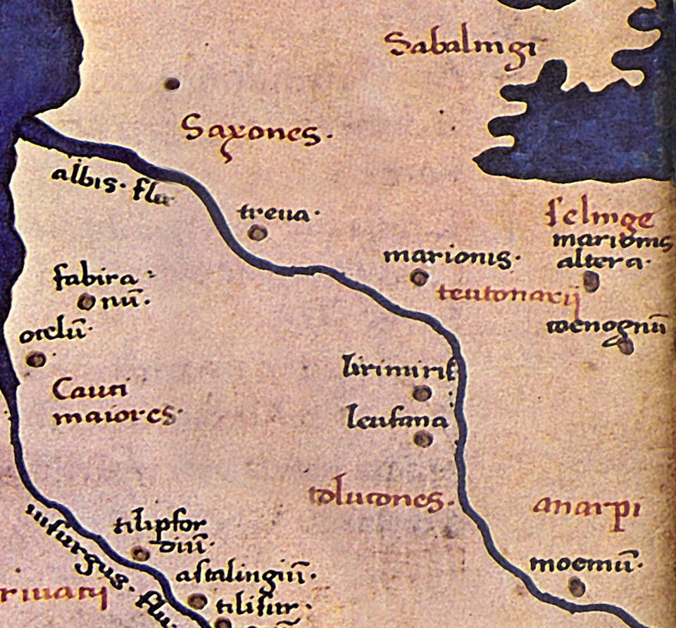
maps of germania magna
details of old maps
charts and maps of the royal museums greenwich
1682 maps
maps in the library of congress
1889 maps
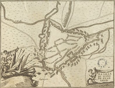
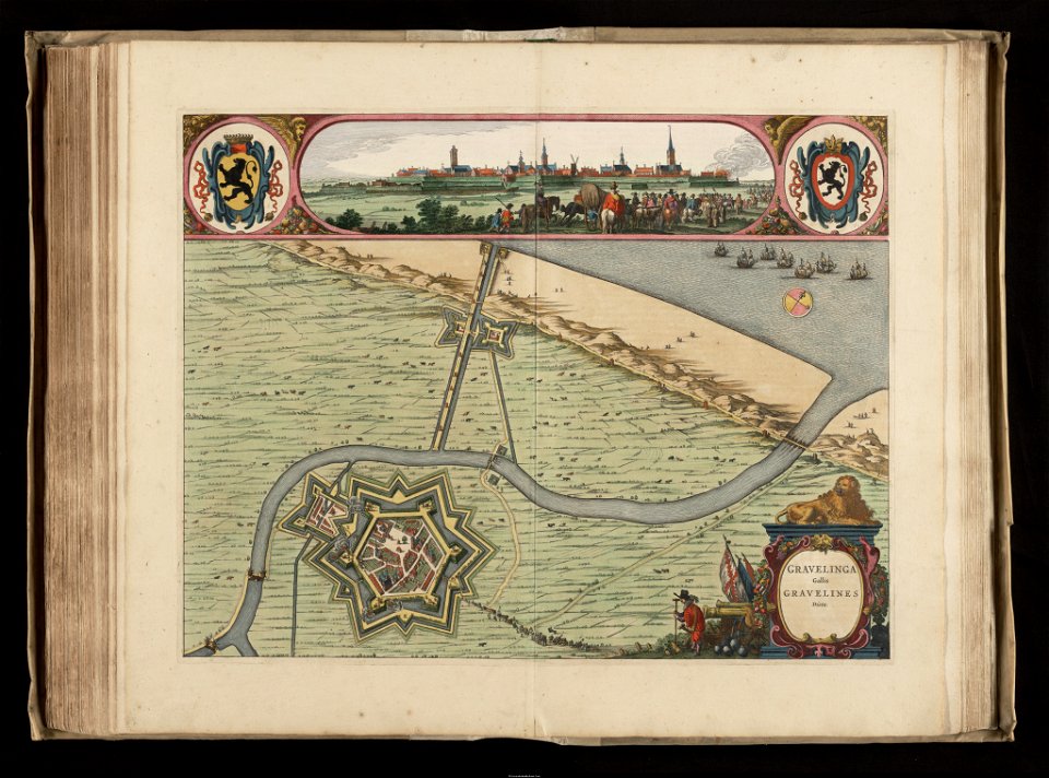
maps of gravelines city wall
old maps of gravelines
charts and maps of the royal museums greenwich
1682 maps
maps in the library of congress
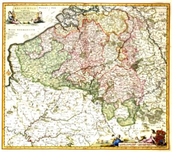
old maps of luxembourg
1740s maps of the world
burgerzaal map
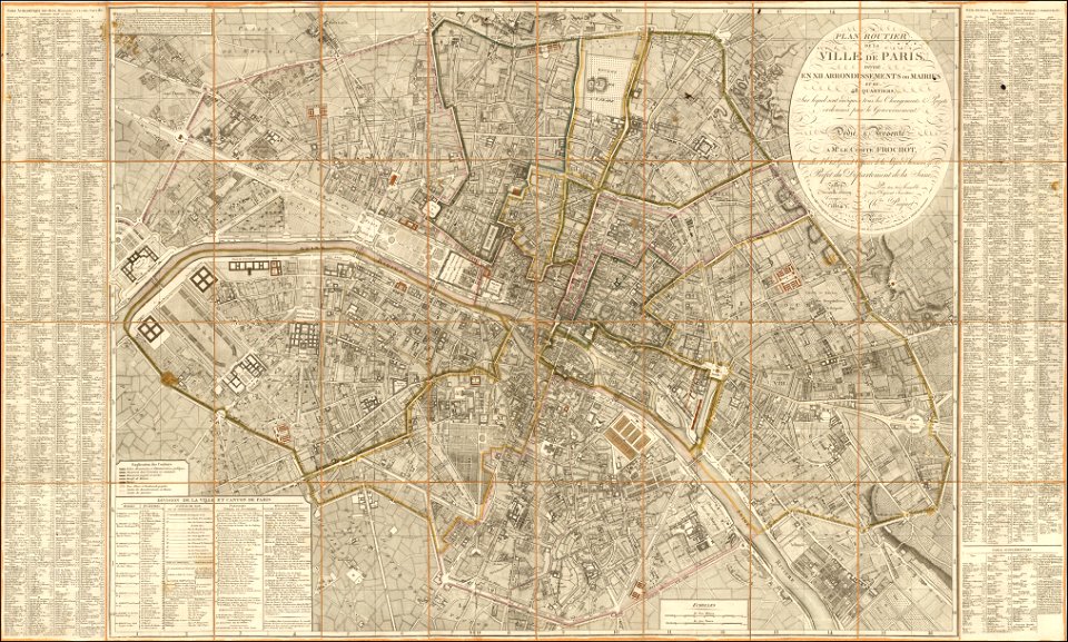
maps of paris from the barry lawrence ruderman antique maps inc.
1814 in paris
maps in the library of congress
maps by martin waldseemüller
old maps of france
maps of reims
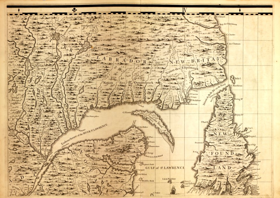
old maps of new brunswick
old maps of virginia
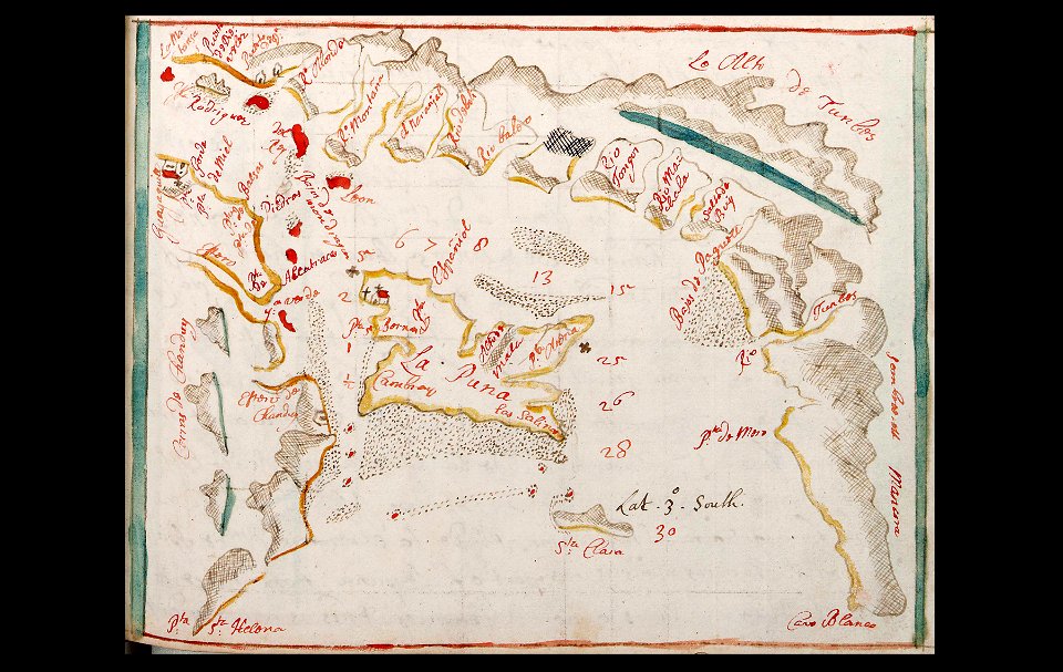
old maps of peru
peru
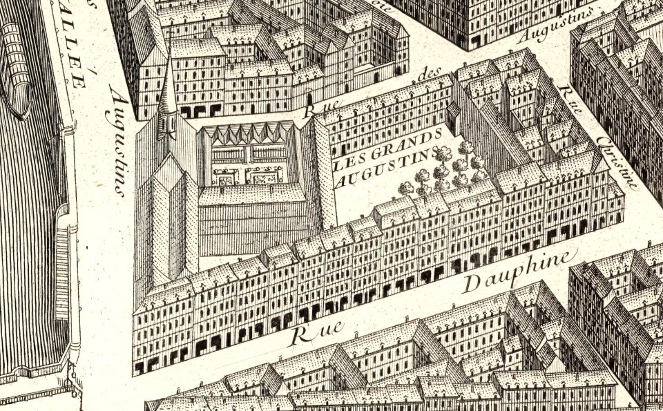
turgot map of paris – derivative files
couvent des grands-augustins
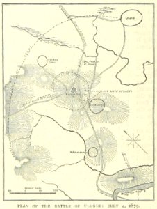
illustrated battles of the nineteenth century
1895 drawings
illustrated battles of the nineteenth century
1895 drawings
musée historique du sénégal
senegal
artwork by charles heaphy
old maps of new zealand
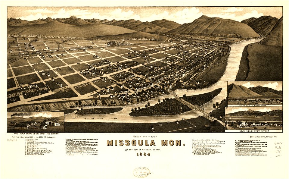
missouri
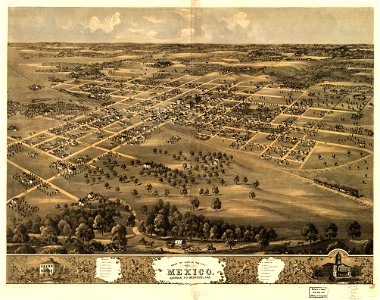
mexico
maps in the library of congress
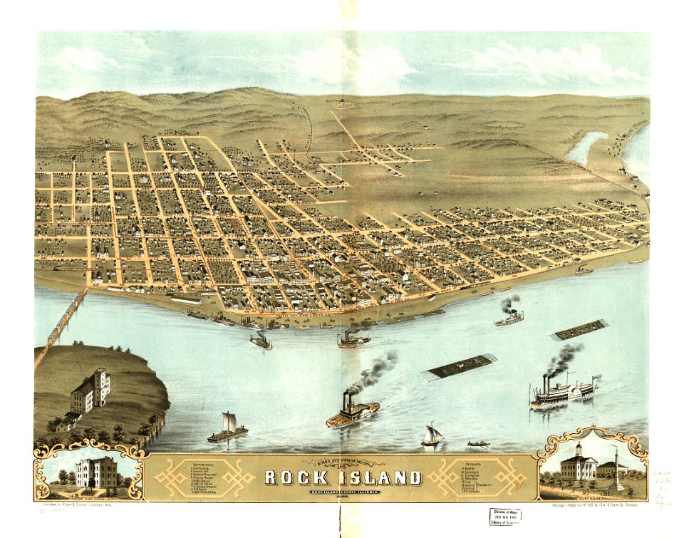
albert ruger
maps in the library of congress
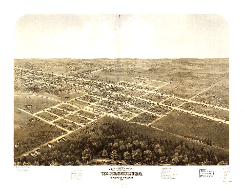
missouri
maps in the library of congress
albert ruger
maps in the library of congress
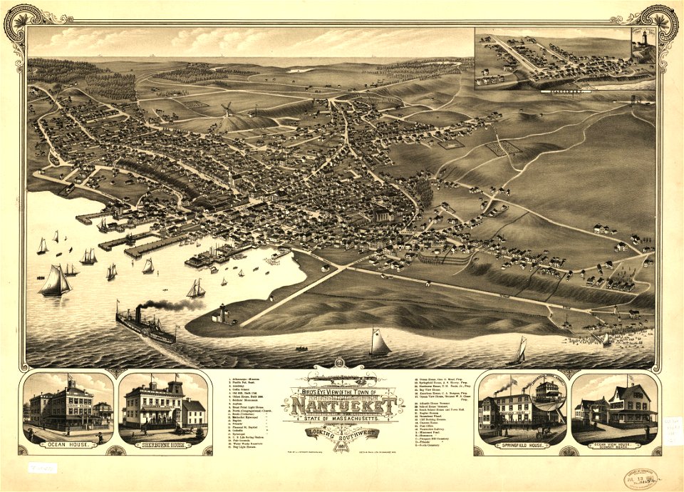
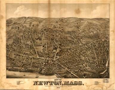
massachusetts
missoula
montana
maps in the library of congress
missouri
maps in the library of congress
massachusetts
maps in the library of congress
1867 maps
19th-century maps of africa
1865 maps
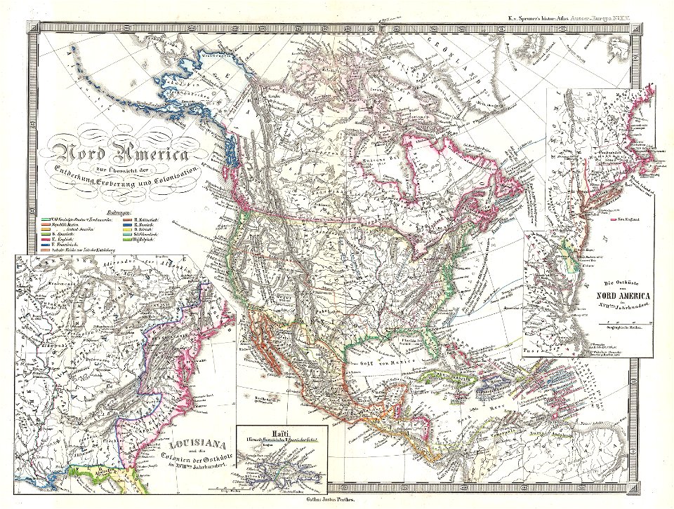
karl spruner von merz
1855 maps
old maps of croatia
river drin
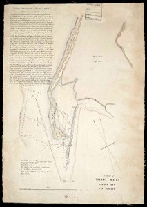
maps in the library of congress
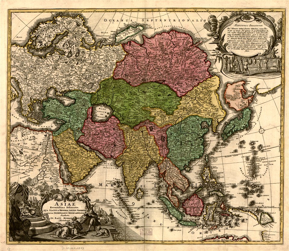
old maps of asia
maps in the library of congress
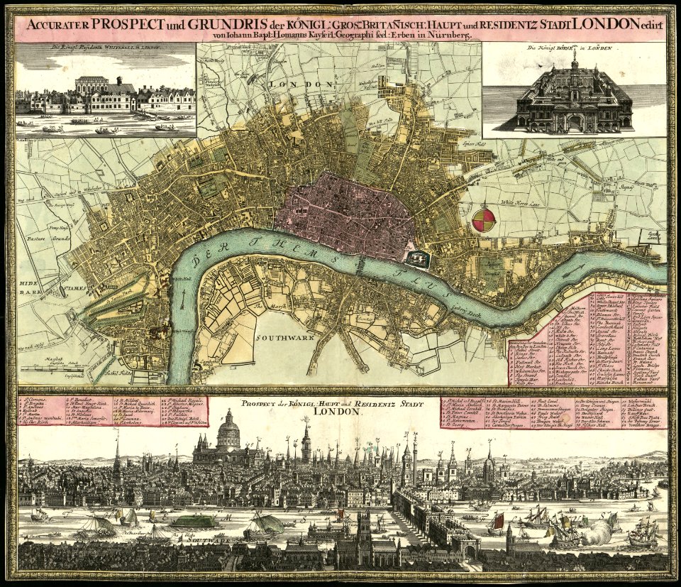
old maps of london
maps in the library of congress
old maps of london
new york
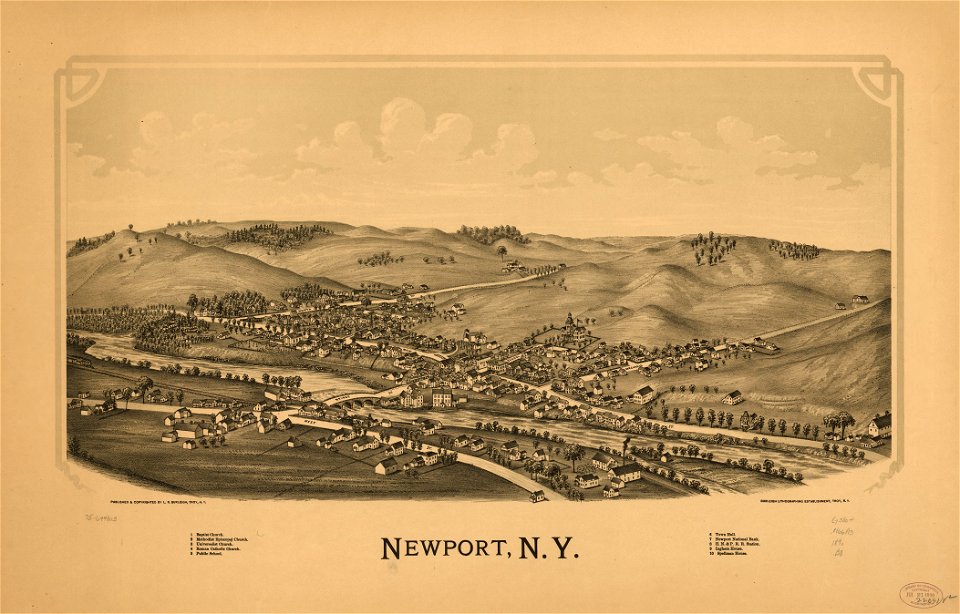
newport
ogier gisleen van busbeke
1620 maps of europe
persian gulf naming dispute
latin-language maps
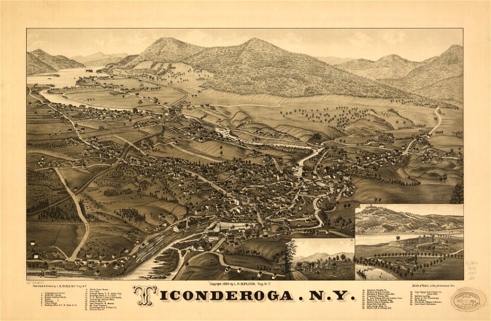
ticonderoga
new york
1510s maps of the world
coats of arms on maps
maps in the library of congress
1862 maps of virginia
maps in the library of congress
new york
hand-drawn maps and views of world war i battlefields by h.m.
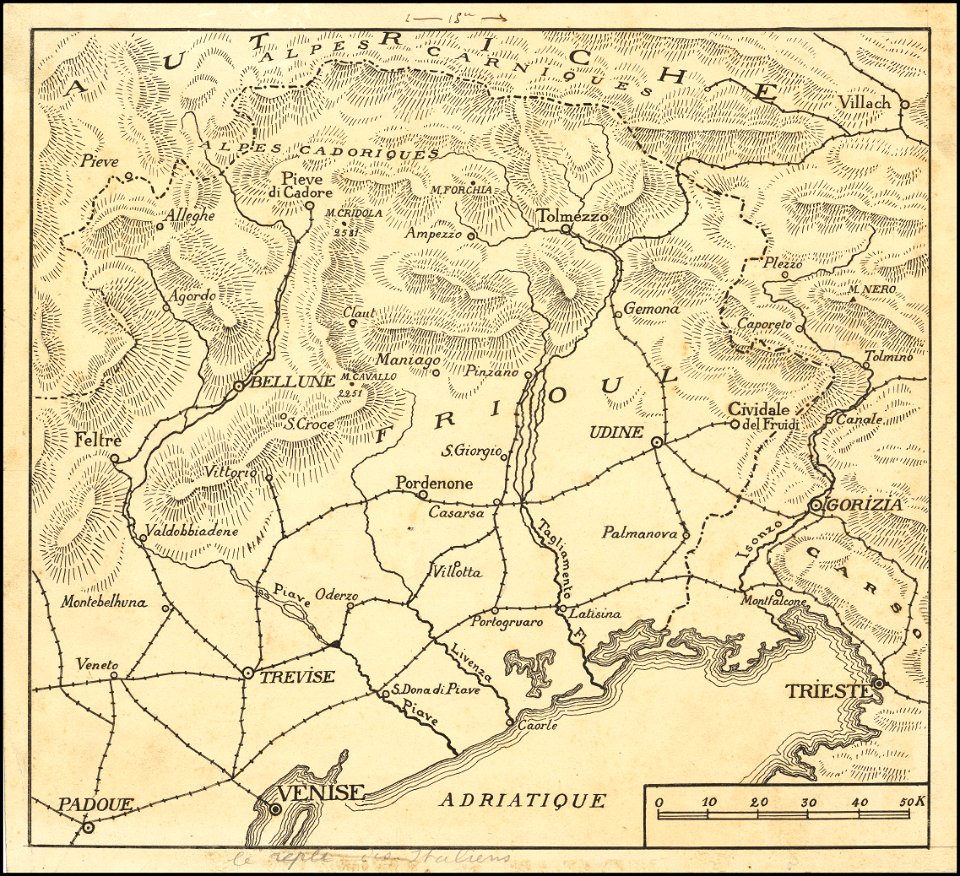
maps of world war i - italian front
old maps of greece
1552
david rumsey historical map collection
19th-century maps of france
david rumsey historical map collection – derivative files
turgot map of paris
india
maps
maps by nicolas sanson
gerard valck
old maps of alabama
old maps of florida
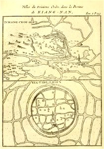
french-language maps of china
changzhou
massachusetts
o. h. bailey
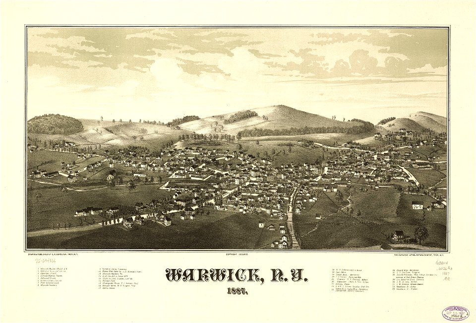
new york
warwick
old maps of peru
gerard valck
maps made in the 17th century
maps by nicolaes visscher i
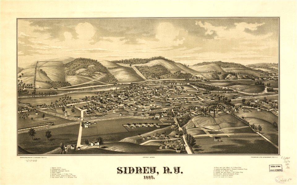
new york
sidney
maps in the library of congress
new york
maps in the library of congress
new york
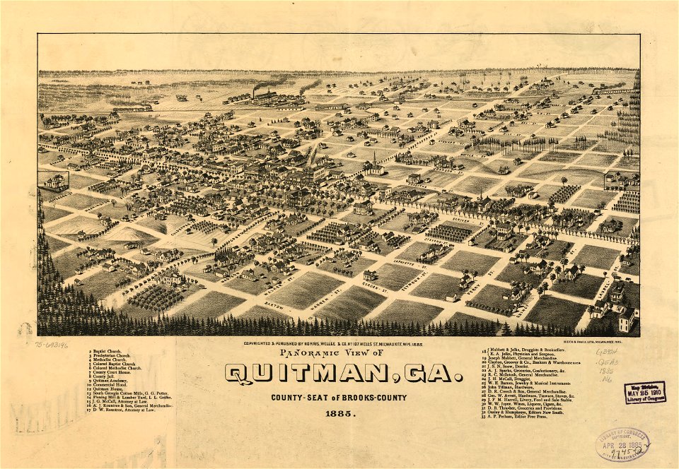
georgia
quitman
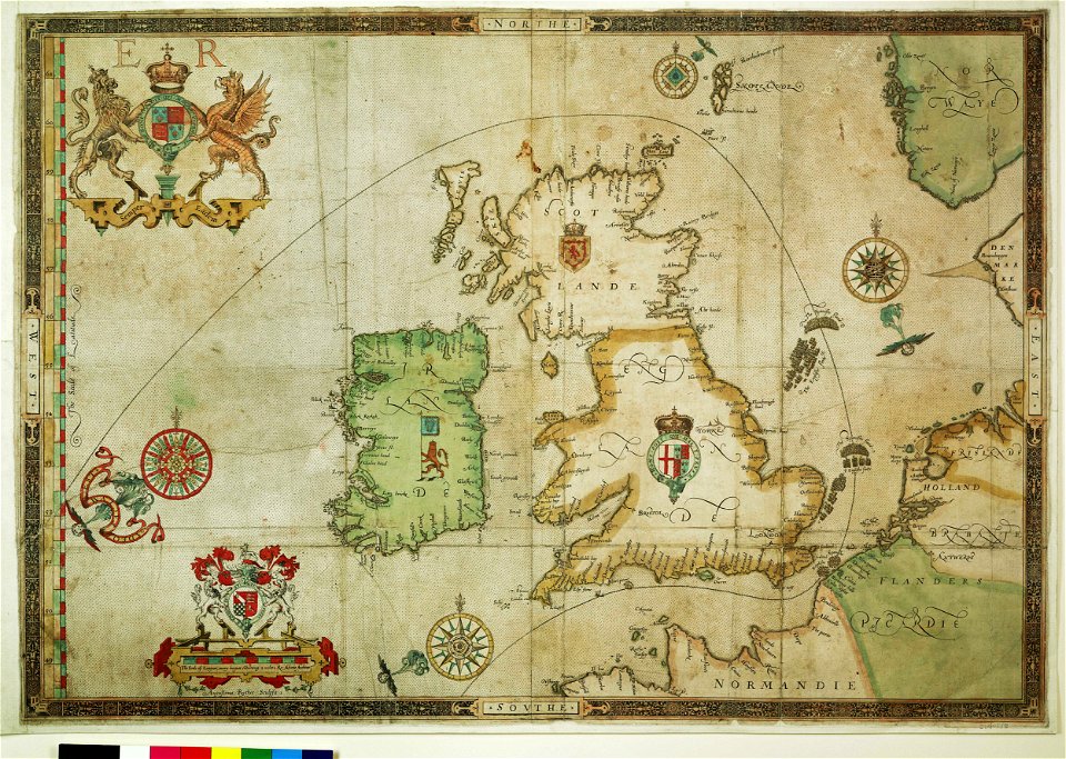
the track of the armada around britain and ireland
charts and maps of the royal museums greenwich
atlantis magni tomus quintus (biblioteca comunale di trento)
maps made in the 18th century
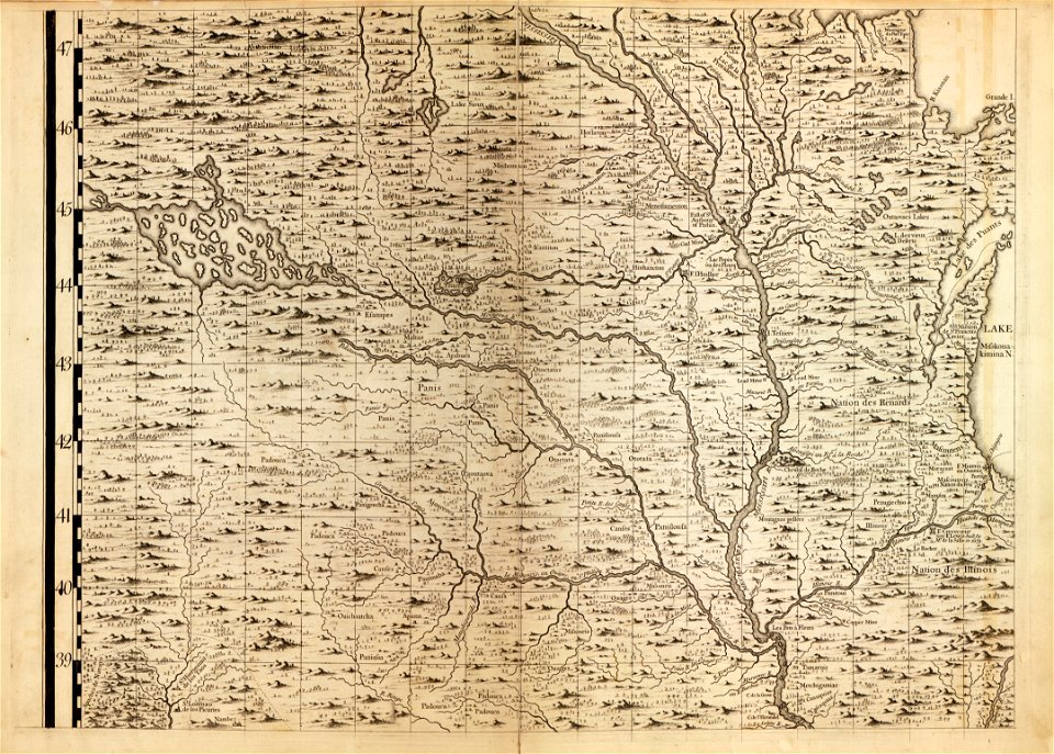
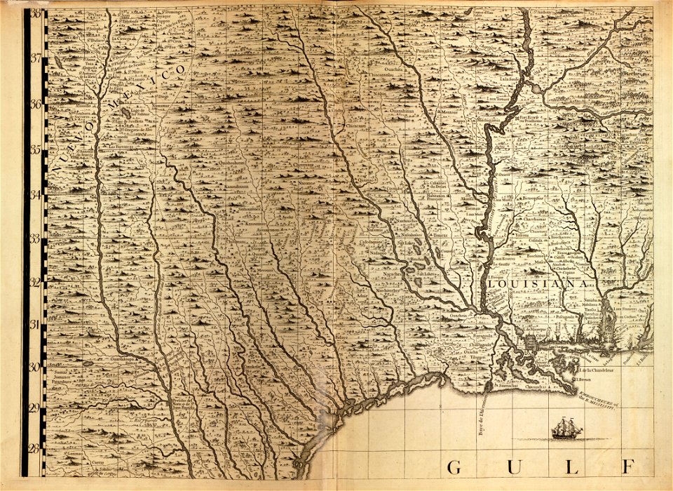
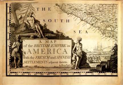
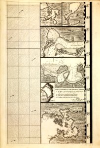
a map of the british empire in america with the french and spanish settlements adjacent thereto
maps in the library of congress
a map of the british empire in america with the french and spanish settlements adjacent thereto
maps in the library of congress
a map of the british empire in america with the french and spanish settlements adjacent thereto
maps in the library of congress
a map of the british empire in america with the french and spanish settlements adjacent thereto
maps in the library of congress
a map of the british empire in america with the french and spanish settlements adjacent thereto
maps in the library of congress
a map of the british empire in america with the french and spanish settlements adjacent thereto
maps in the library of congress
a map of the british empire in america with the french and spanish settlements adjacent thereto
maps in the library of congress
a map of the british empire in america with the french and spanish settlements adjacent thereto
maps in the library of congress
a map of the british empire in america with the french and spanish settlements adjacent thereto
maps in the library of congress
a map of the british empire in america with the french and spanish settlements adjacent thereto
maps in the library of congress
a map of the british empire in america with the french and spanish settlements adjacent thereto
maps in the library of congress
a map of the british empire in america with the french and spanish settlements adjacent thereto
maps in the library of congress
a map of the british empire in america with the french and spanish settlements adjacent thereto
maps in the library of congress
a map of the british empire in america with the french and spanish settlements adjacent thereto
maps in the library of congress
a map of the british empire in america with the french and spanish settlements adjacent thereto
maps in the library of congress
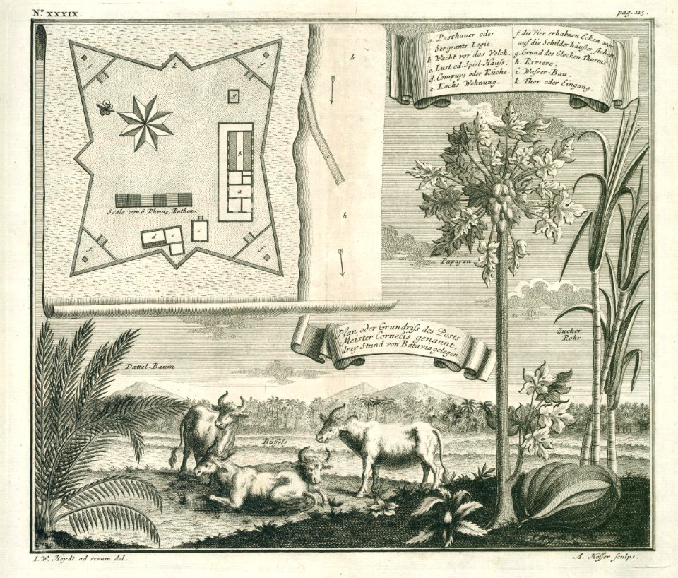
18th-century maps of indonesia
1744
johann baptist homann
latin-language maps
17th-century maps of indonesia
1614
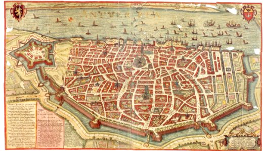
maps and topographical views by joris hoefnagel
maps of antwerp
new york
delhi
6501 - 6600 of 357,549
Next page
/ 3576