Log in
All resources
Create a design
Tools
357,549 Free Images of Map
maps in the library of congress
maps
fonds ancely - bibliothèque municipale de toulouse - maps
victor levasseur - maps of france
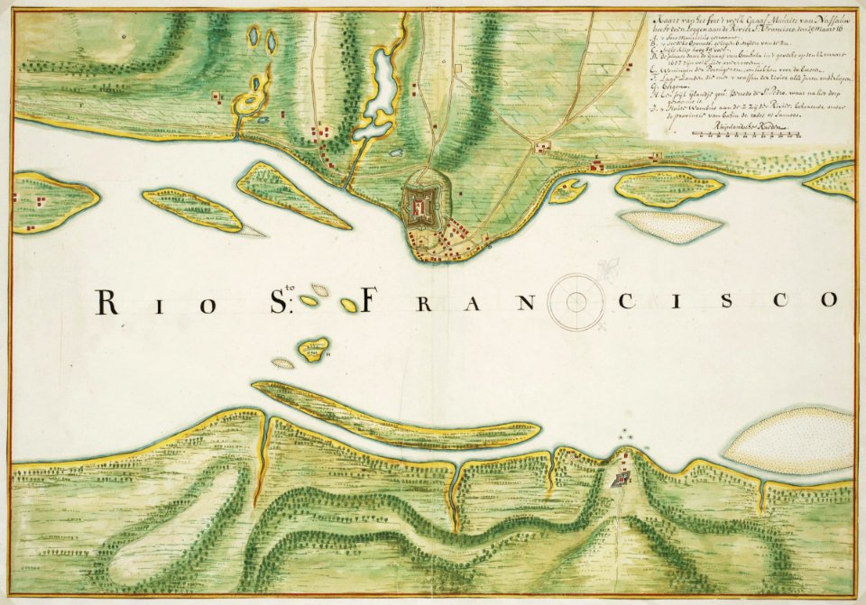
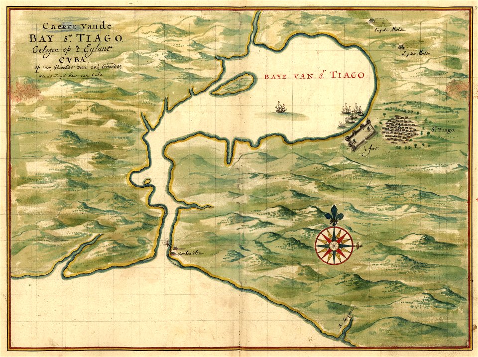
maps of the west-indische compagnie
1746
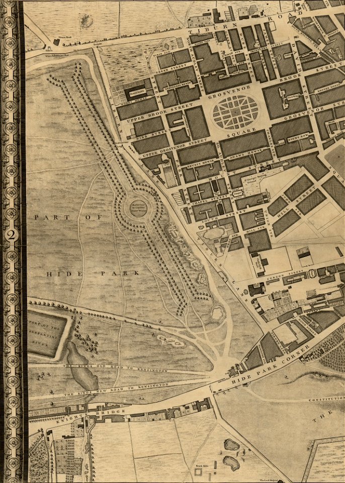
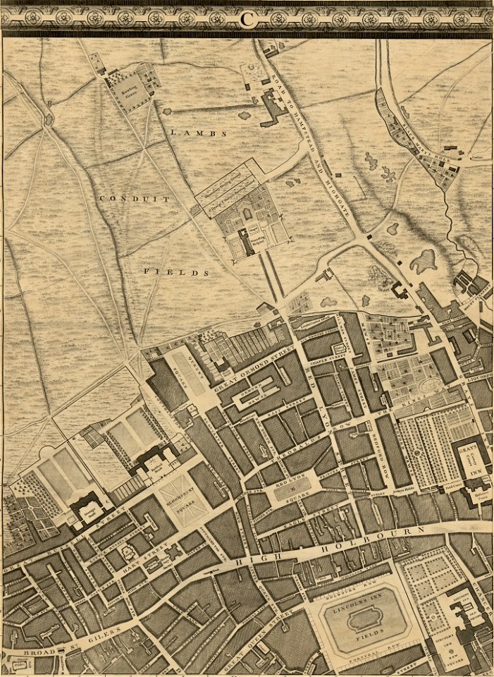
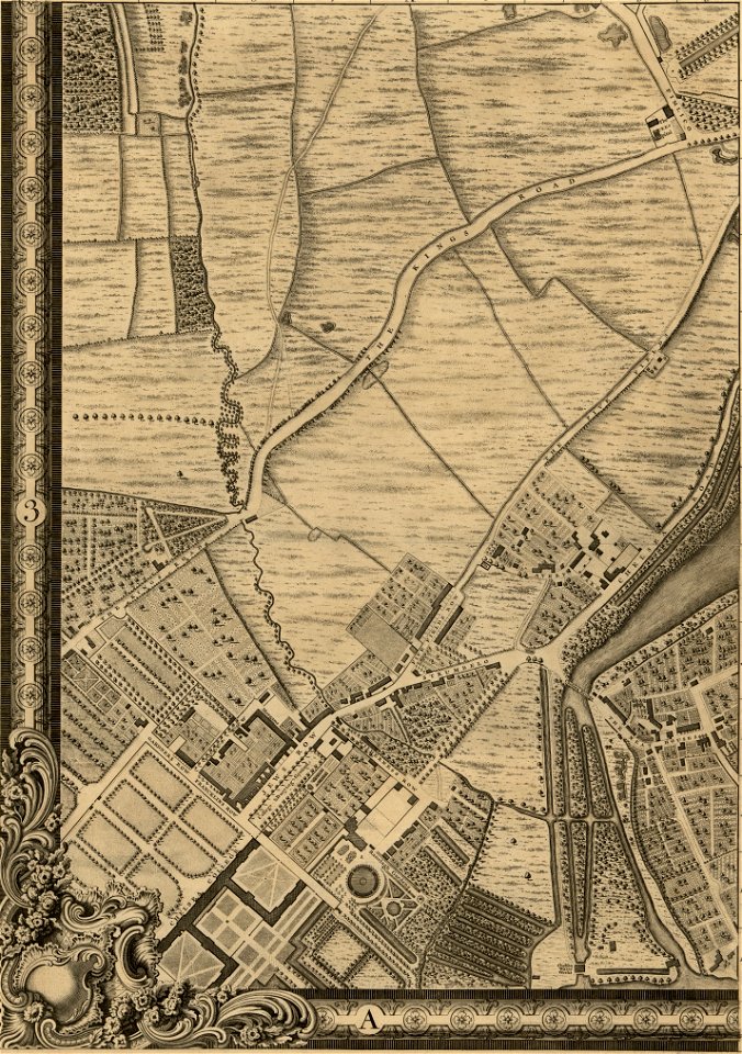
john rocque 1746 crops from library of congress
john rocque's map of london
birth
birth announcement
maps in the library of congress
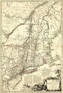
1775 maps of boston
bibliothèque municipale de reims
rès. g 152
maps of the dutch east india company - sri lanka
maps of fort fredrick
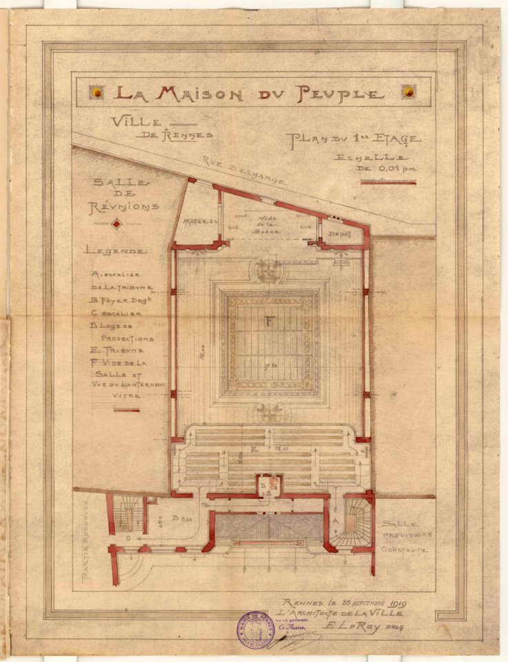
1919 in bretagne
1919 map
1919 in bretagne
1919 map
maps of the west-indische compagnie
1665
old maps of the dutch east india company
1598
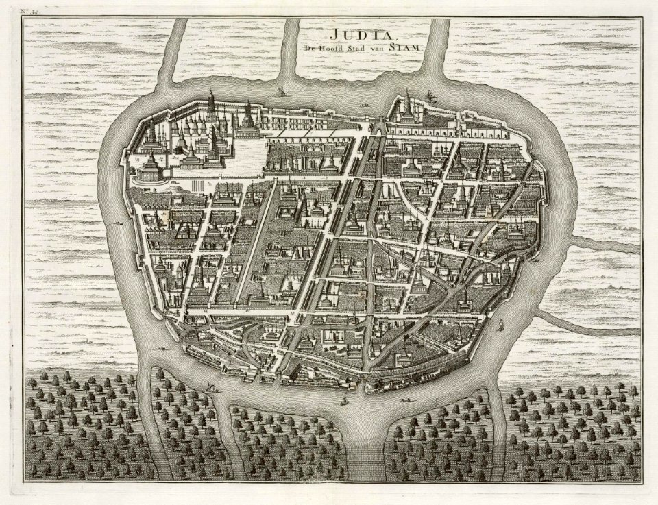
old maps of ayutthaya
1724
maps of the west-indische compagnie
1662
maps of the west-indische compagnie
1747)
maps of the west-indische compagnie
1747)
maps of the dutch east india company - indonesia
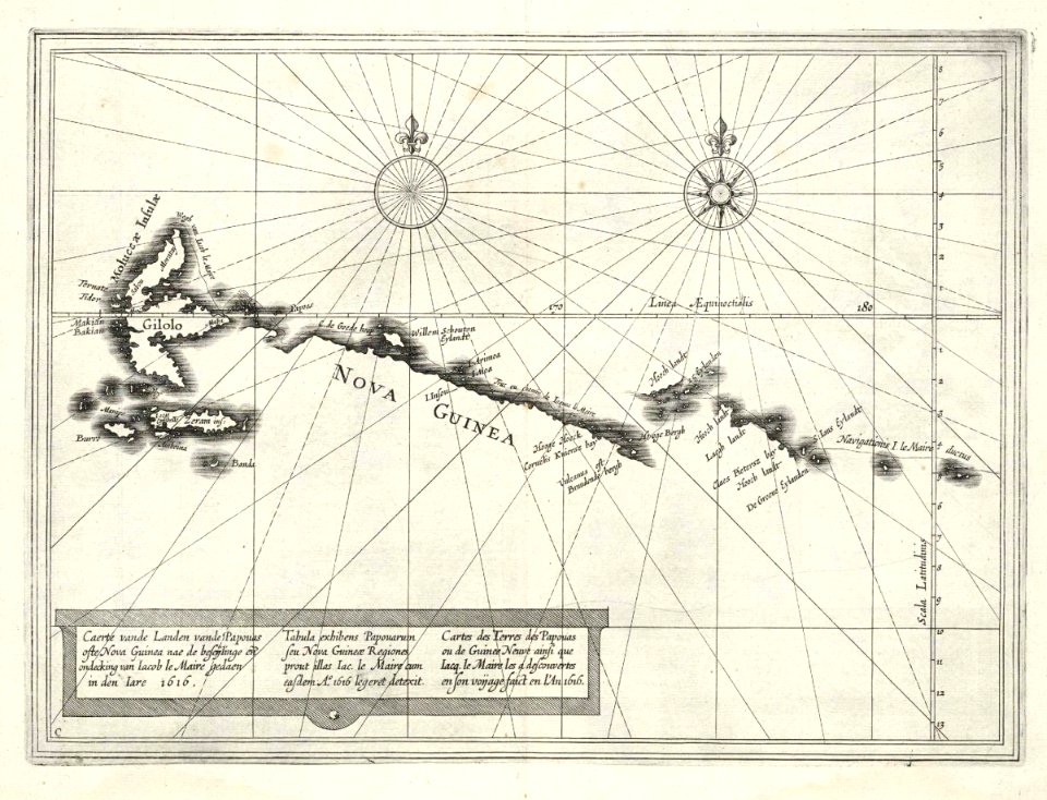
1616
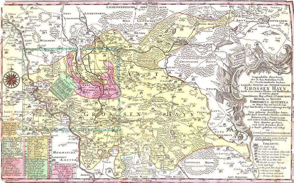
history of lorenzkirch
old maps of saxony
maps in the library of congress
1782 maps
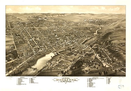
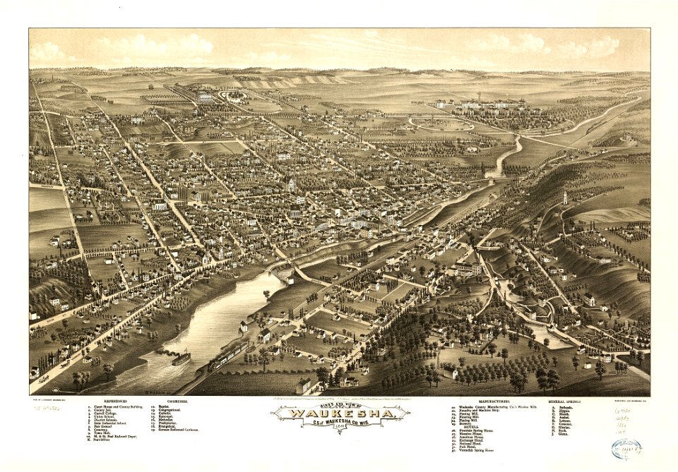
wisconsin
waukesha
maps in the library of congress
pennsylvania
wisconsin
waukesha
maps in the library of congress
albert ruger
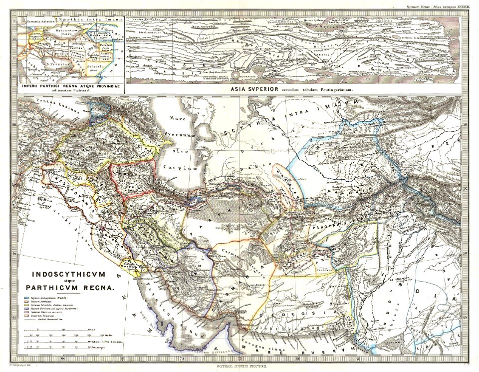
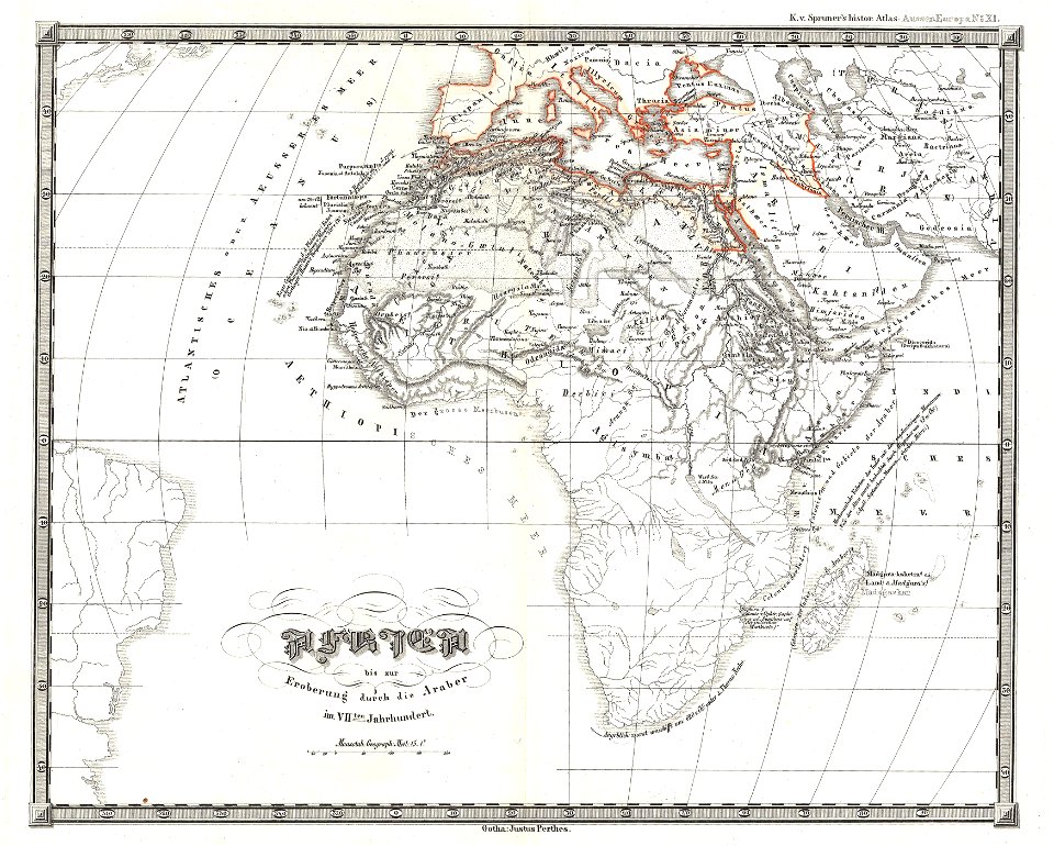
karl spruner von merz
1865 maps
karl spruner von merz
1855 maps of africa
atlantis magni tomus tertius (biblioteca comunale di trento)
maps made in the 17th century
storia degli antichi popoli italiani
old maps of tuscany
maps by willem and johannes blaeu
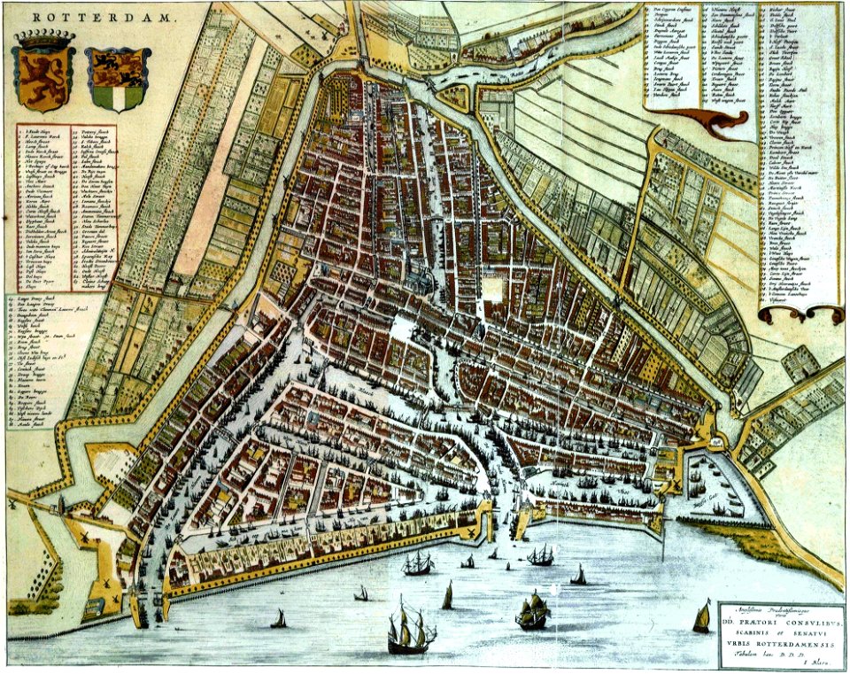
old maps of rotterdam
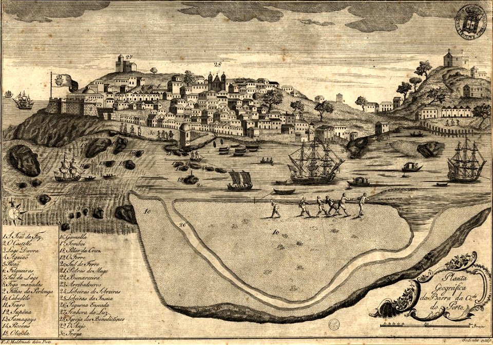
1780s maps of portugal
1789
university of toronto wenceslas hollar digital collection
maps by wenzel hollar
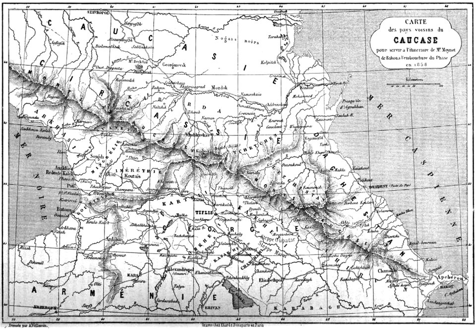
19th-century maps of the caucasus
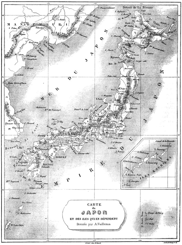
maps by alexandre vuillemin
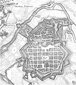
history of hanau
maps of hanau
atlantis magni tomus secundus (biblioteca comunale di trento)
maps made in the 17th century
collections of prädikantenbibliothek isny
maps by willem and johannes blaeu
melchior tavernier (i)
harvard university
list of paintings and plots by pascal coste and eugène flandin
isfahan
maps in the library of congress
1746
maps in the library of congress
1746
maps in the library of congress
1746
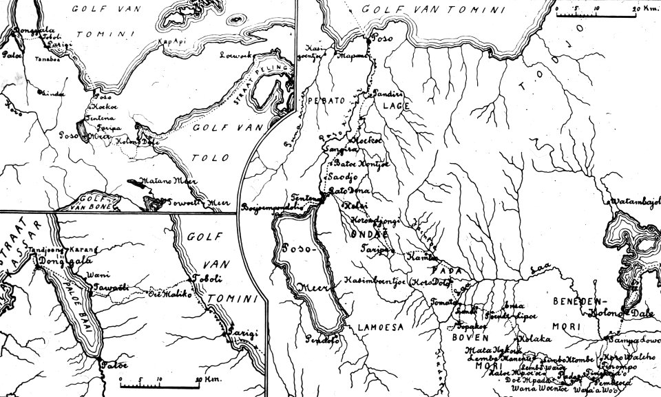
walter kaudern expedition to celebes
20th-century maps of indonesia
maps in the library of congress
1746
maps in the library of congress
1746
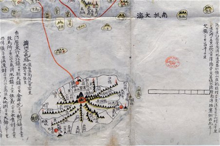
old maps of korea
british museum
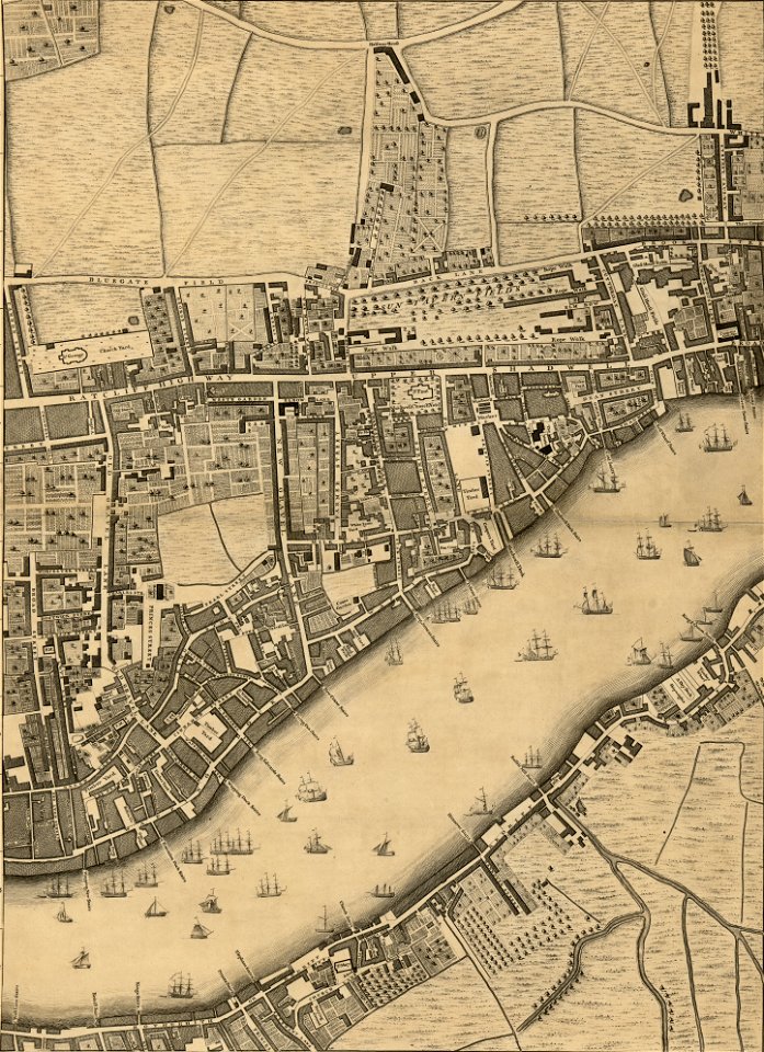
maps in london labour and the london poor (1851)
maps by alexandre vuillemin
19th-century maps of japan
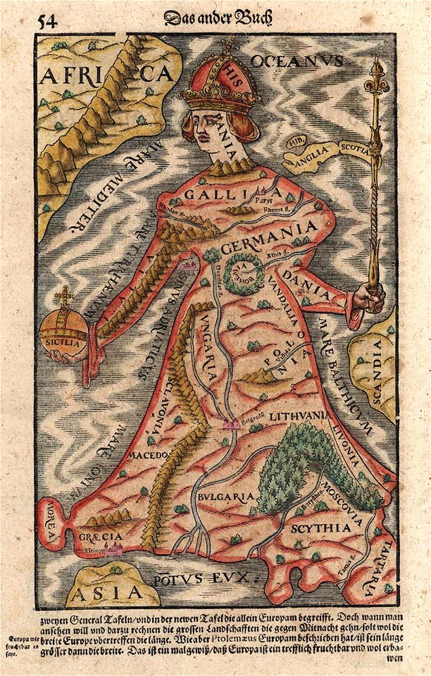
cartography
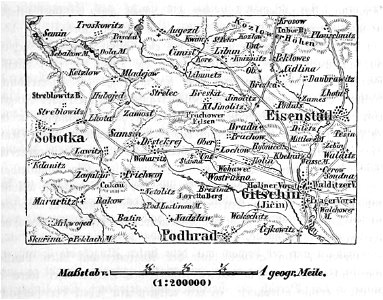
bohemia
old maps of north rhine-westphalia
upper guelders
johann baptist homann
maps
17th-century maps of france
maps with cartouches
frédéric-auguste laguillermie
portraits of rené descartes
coats of arms of cities in jura (department)
charles pichegru
background
maps
mdcclxxvi (numeral)
1776 maps
maps from the mechanical curator collection available to georeference
maps from the mechanical curator collection
castle island
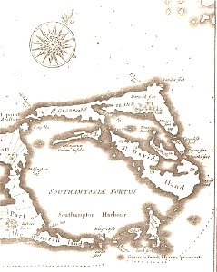
bermuda
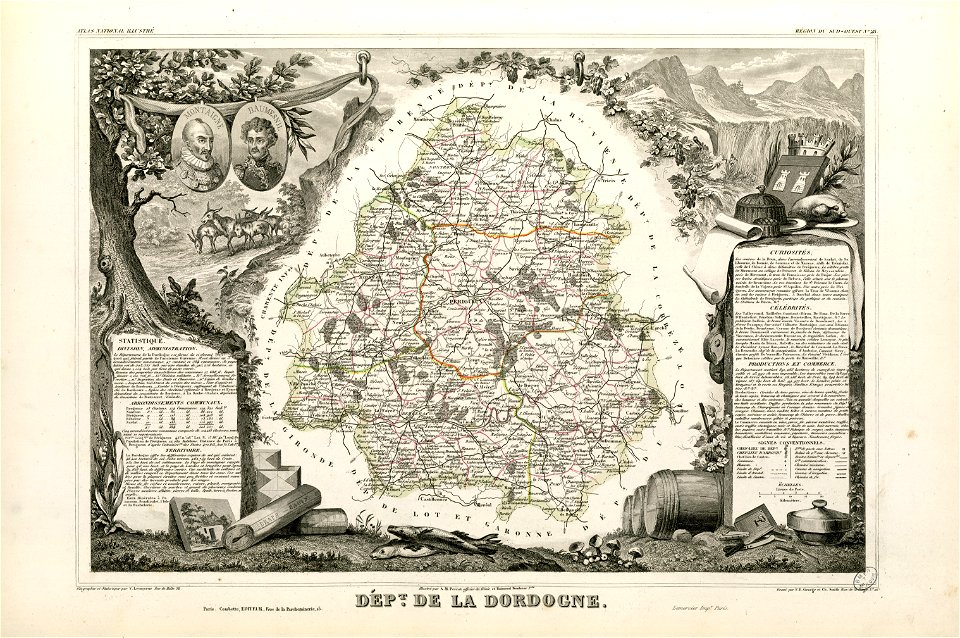
coats of arms of cities in dordogne
pierre daumesnil
fonds ancely - bibliothèque municipale de toulouse - maps
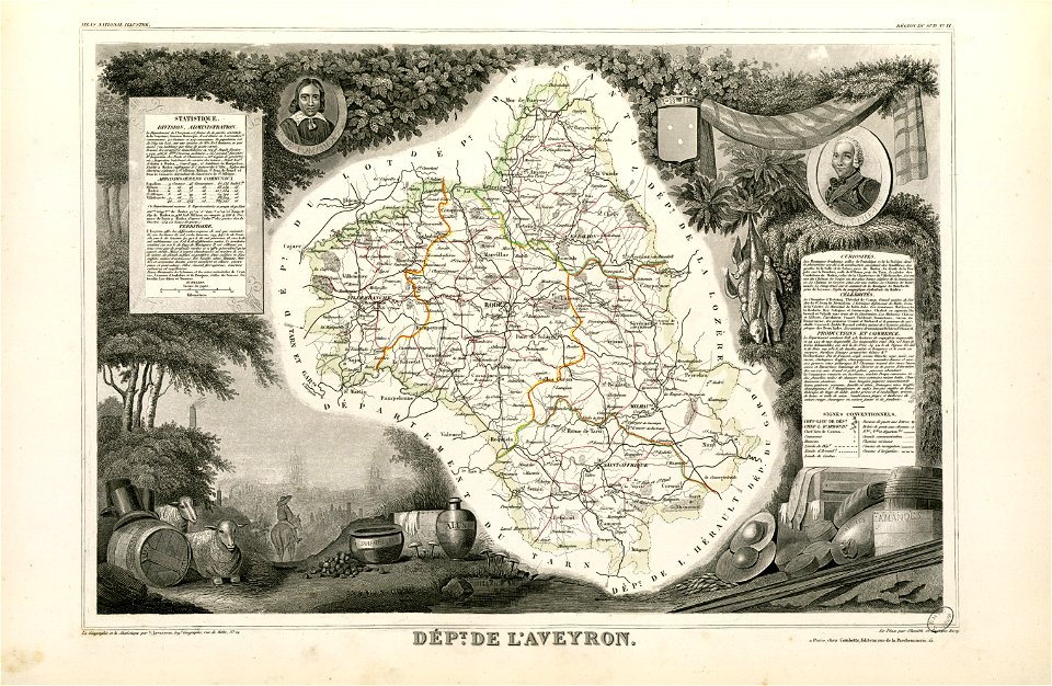
coats of arms of cities in aveyron
fonds ancely - bibliothèque municipale de toulouse - maps
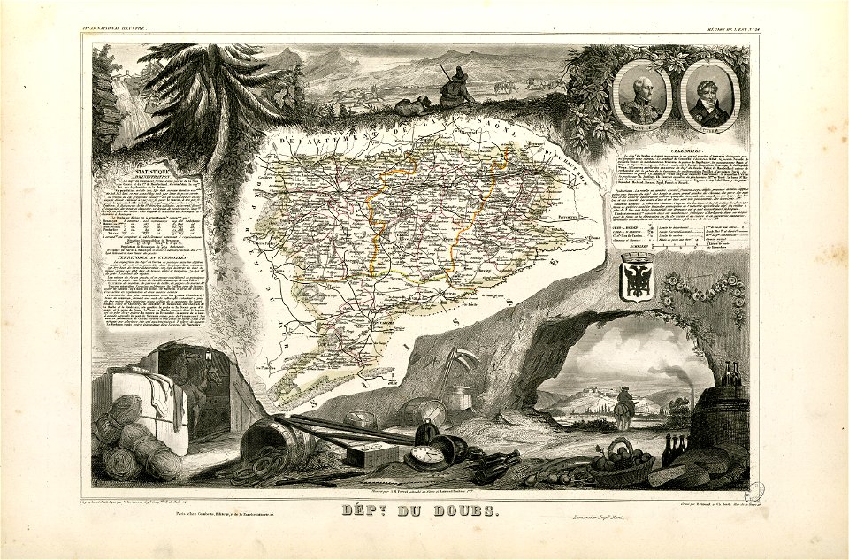
coats of arms of cities in doubs
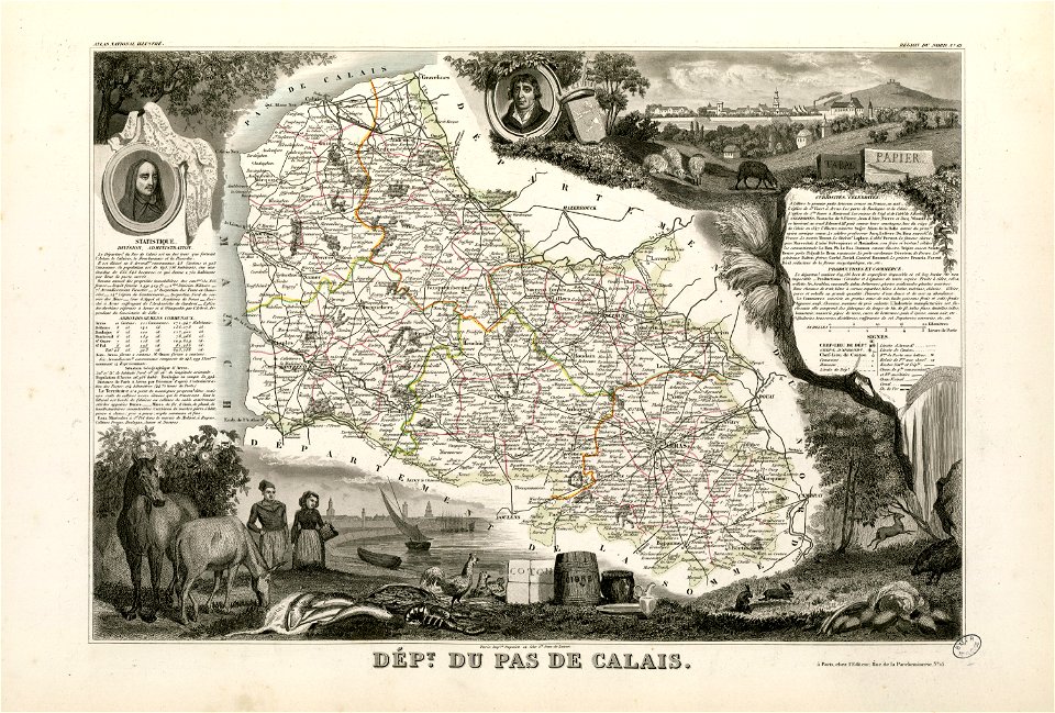
coats of arms of cities in pas-de-calais
old maps of pas-de-calais
maps in the library of congress
1639 maps
river
maps
brown
maps
christmas
maps
birth
maps
background
maps
maps
boys
birth
maps
background
maps
giraffe
maps
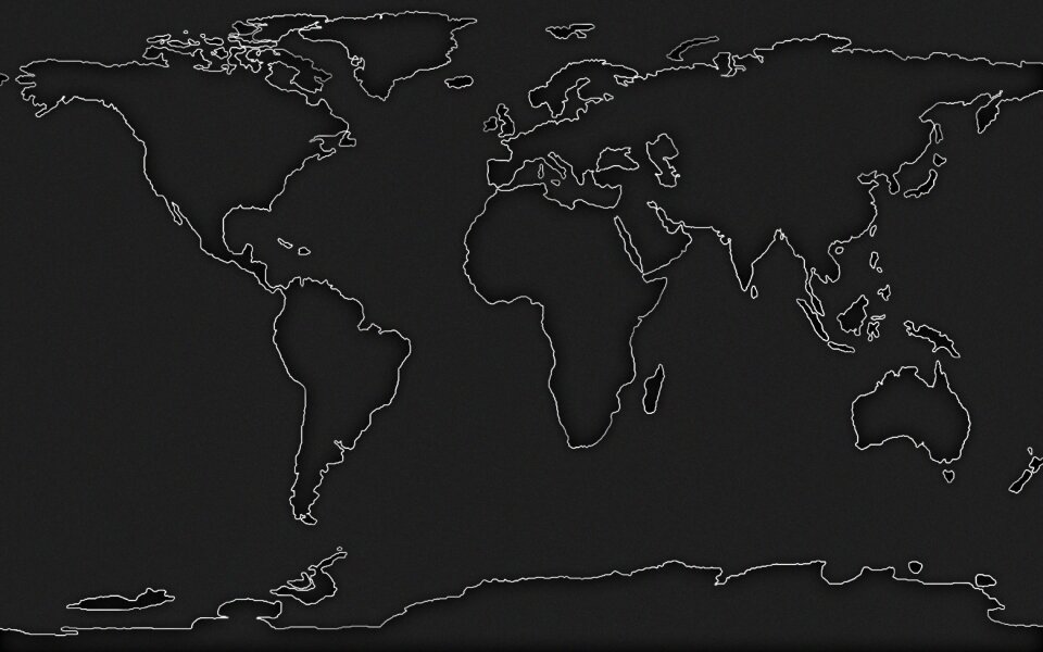
europe
maps
chicago and the midwest
newberry library
historical images of solothurn
old maps of switzerland
prints from selden mare clausum at the peace palace library
1636 maps of england
description de l'universe
alain manesson-mallet
david rumsey historical map collection – derivative files
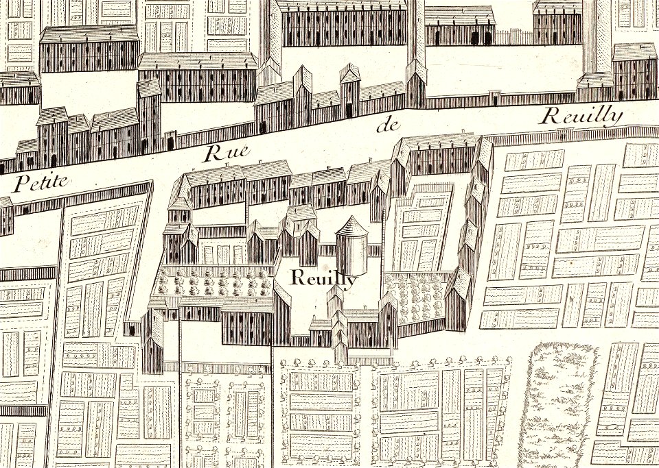
turgot map of paris
old maps of venice
johannes ratelband
map of paris by claes jansz. visscher
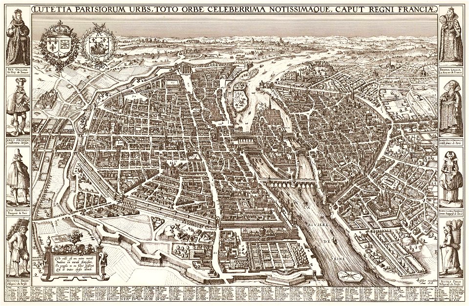
bird's eye view maps of paris
19th-century maps of brazil
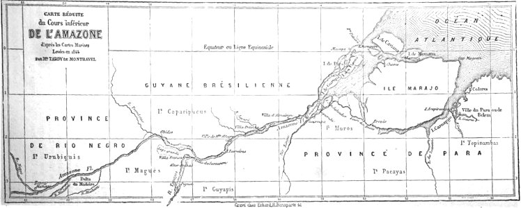
map of brazil
maps by pieter pourbus
1570s maps
description de l'universe
alain manesson-mallet
collections de la bibliothèque nationale et universitaire de strasbourg
matthias quad
bibliothèque municipale de reims
rès. g 152
ms. ludwig xv 4 (getty museum) - bird book of hugo fouilloy
13th-century maps of the world
maps of the west-indische compagnie
1732
old maps of mediterranean sea
levantine sea
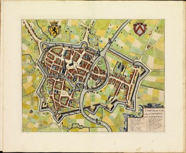
old maps of kortrijk
atlas de wit 1698
media in the houghton library
harvard university
maps made in the 17th century
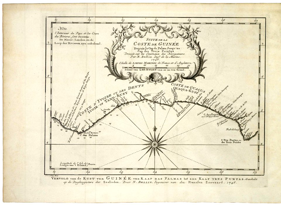
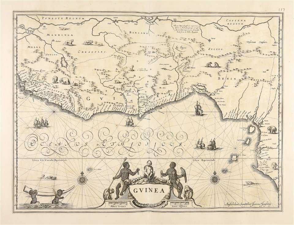
old maps of guinea
miniature speed atlas (1627) pieter van den keere
pieter van der keere
miniature speed atlas (1627) pieter van den keere
pieter van der keere
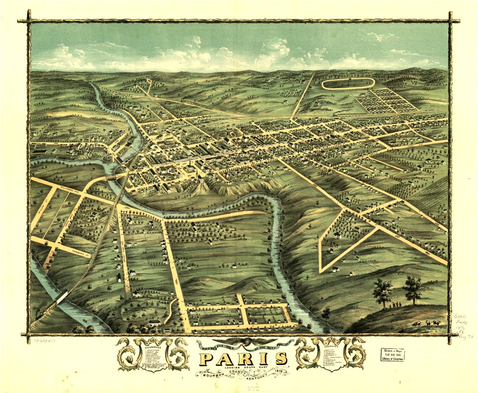
kentucky
paris
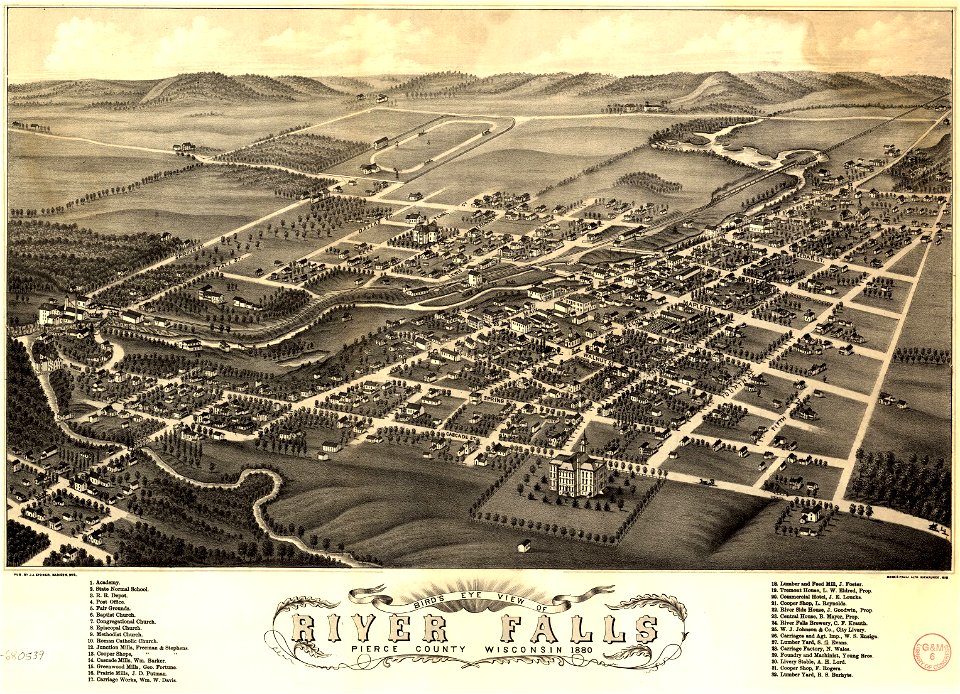
river falls
wisconsin
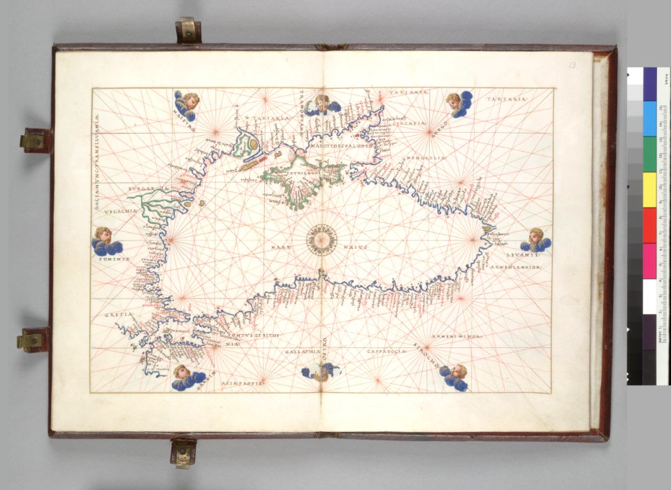
16th-century maps of the black sea
battista agnese
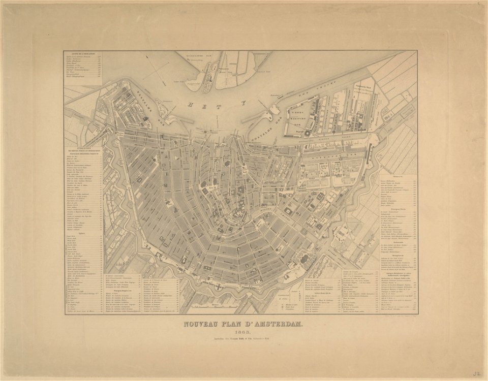
maps in the stadsarchief amsterdam
old maps of amsterdam
maps in the stadsarchief amsterdam
old maps of amsterdam
karl spruner von merz
1855 maps of africa
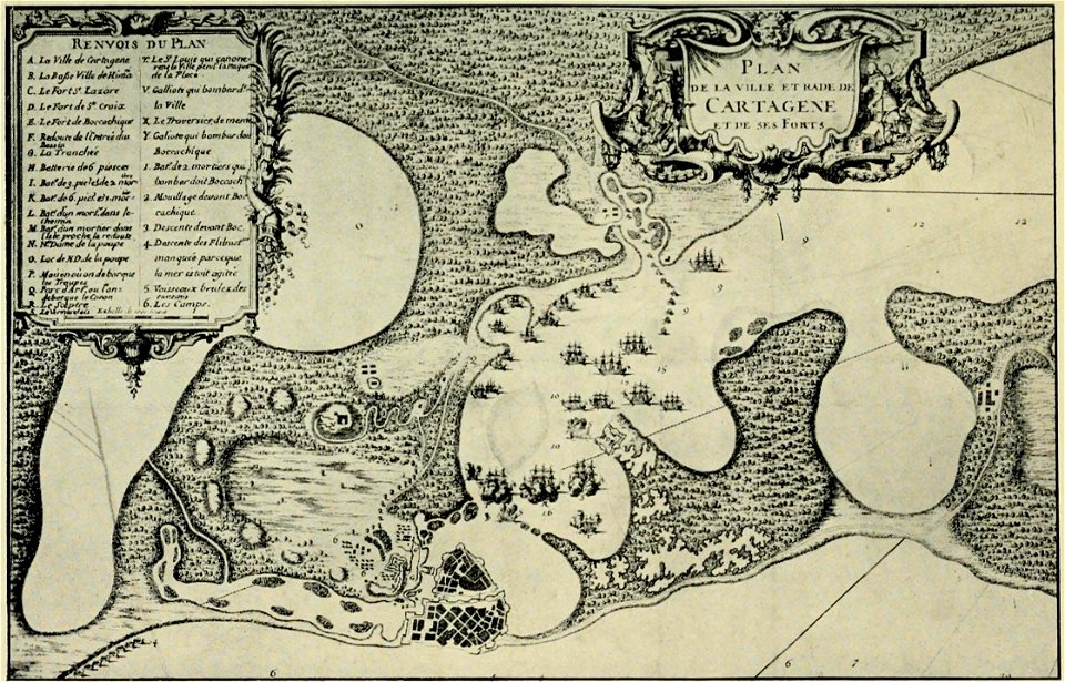
old maps of cartagena
colombia
old maps of baden-württemberg
1552
charte von schwaben (bohnenberger)
maps of landkreis sigmaringen
charte von schwaben (bohnenberger)
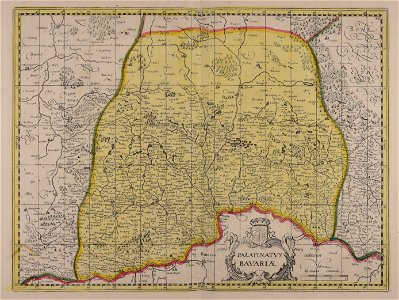
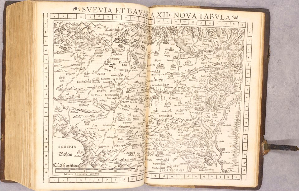
19th-century maps of bavaria
old maps of japan
old maps of korea
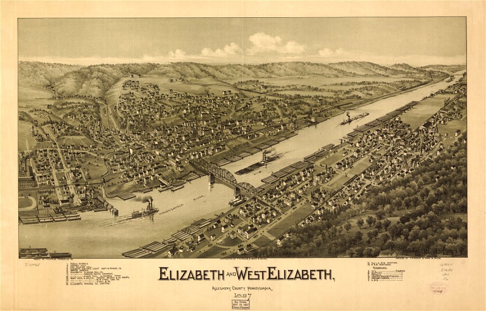
pennsylvania
elizabeth
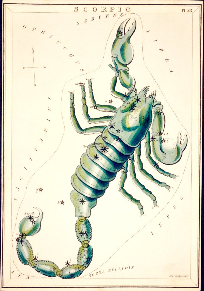
astronomy
maps
travel
maps
maps
usa
8901 - 9000 of 357,549
Next page
/ 3576