Log in
All resources
Create a design
Tools
357,638 Free Images of Maps
maps in the library of congress
carte de france
maps in the stadsarchief amsterdam
geographical illustrations by coronelli
mitchell's school atlas
liber insularum archipelagi (royal museums greenwich)
charts and maps of the royal museums greenwich
engravings of topographia bohemiae moraviae et silesiae
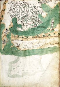
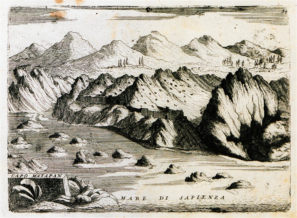
old maps of the peloponnese
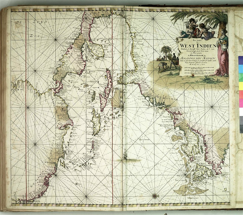
maps of the west-indische compagnie
maps in the stadsarchief amsterdam
daniël veelwaard (i)
maps in the stadsarchief amsterdam
daniël veelwaard (i)
illustrations from the archipelago on fire by léon benett
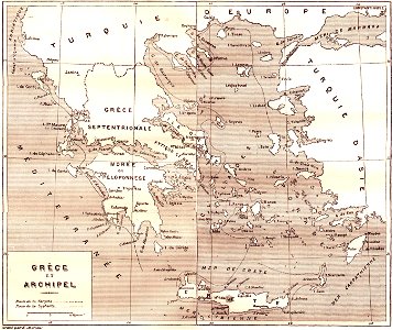
old maps of greece
17th-century maps of the world
description de l'universe
ducatus sleswicum sive justia australis
germany
1828
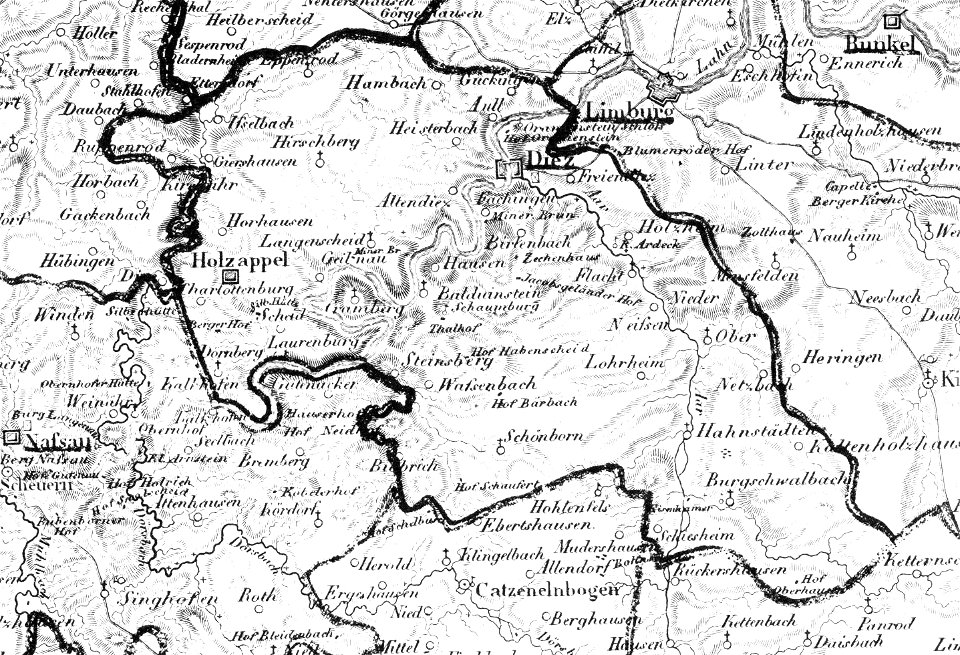
diez
nastätten
1828
drawings in the museu antônio parreiras
charts and maps of the royal museums greenwich
maps by gerardus mercator
ursa major in art
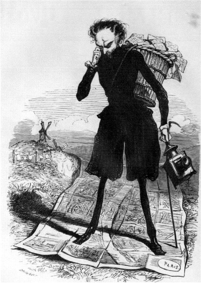
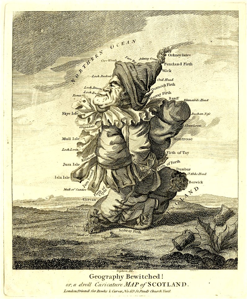
grandville (caricaturist)
people with maps in art
vignettes in 1830 vienna map series by carl graf vasquez
laimgrubenkirche
german prints in the rijksmuseum amsterdam
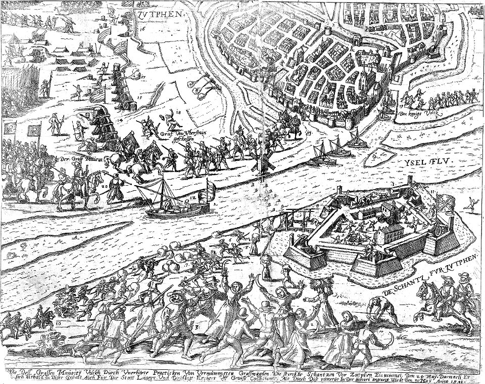
old maps of zutphen
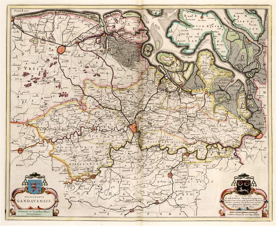
old maps of ghent
atlas van loon
charts and maps of the royal museums greenwich
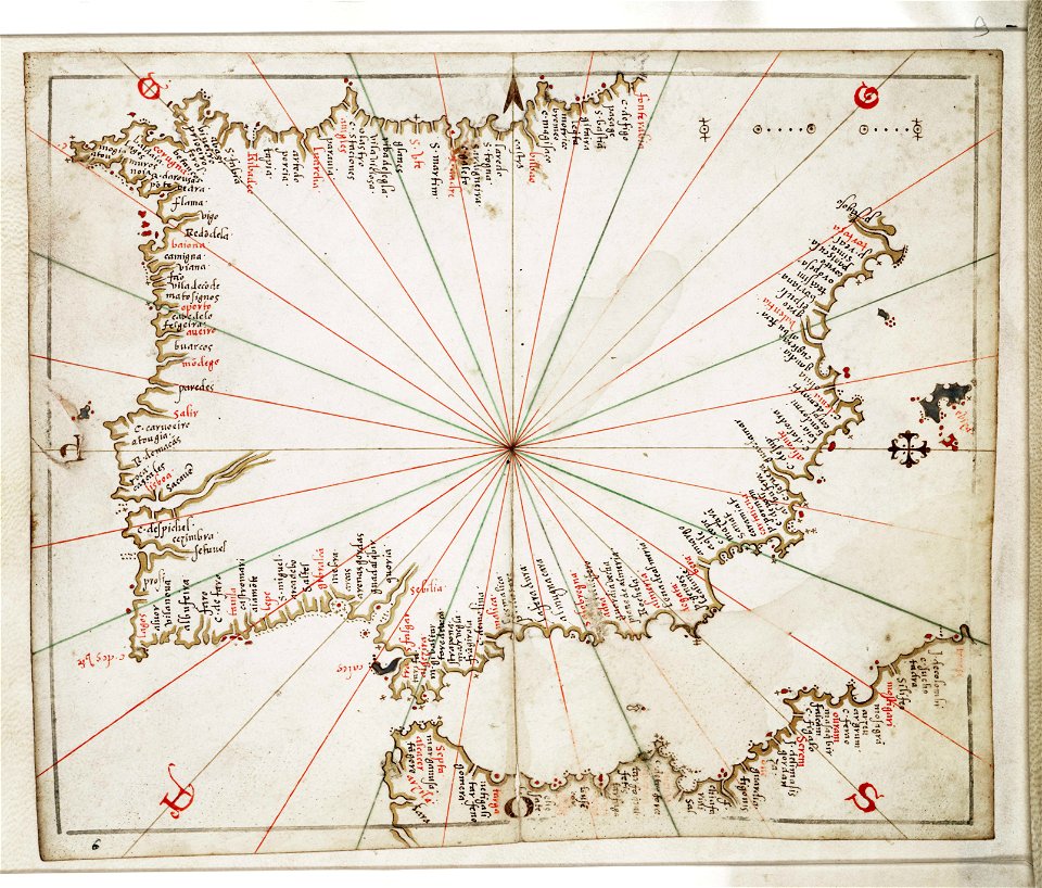
joan martines
engravings of topographia bohemiae moraviae et silesiae
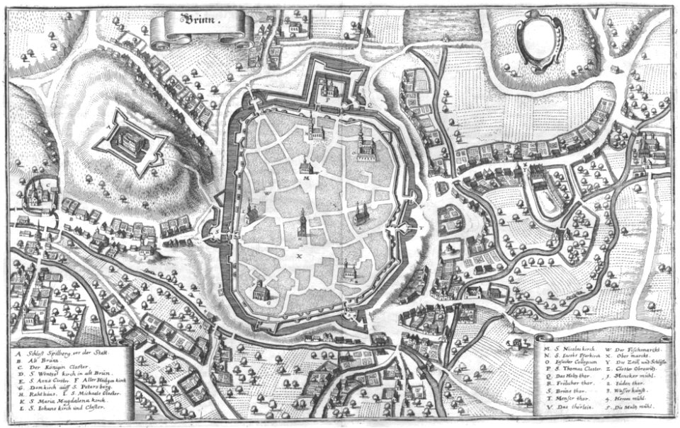
old maps of brno
maps and topographical views by joris hoefnagel
castle of szolnok
walter cooper dendy
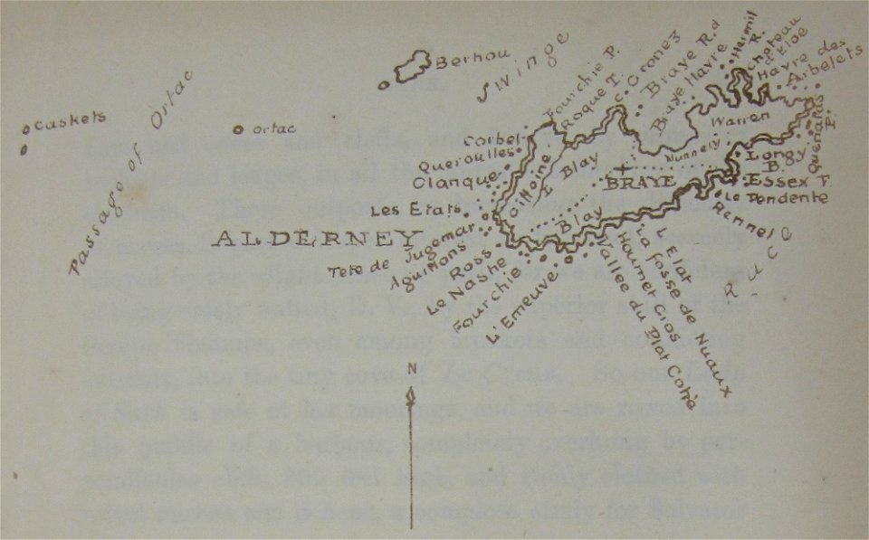
maps of alderney
östra yttringe gård
yttringe
engravings of topographia bohemiae moraviae et silesiae
history of kolín
illustrations of meroe pyramids
lepsius-projekt - maps
geographical illustrations by coronelli
old maps of the peloponnese
engravings of topographia bohemiae moraviae et silesiae
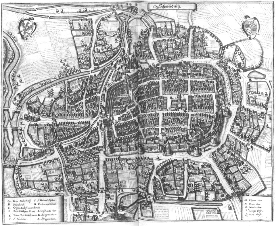
maps of świdnica
popular science monthly illustrations/volume 32
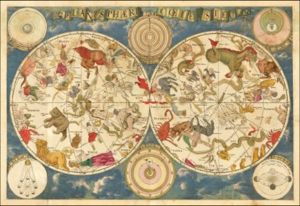
astronomical maps
book illustrations in the british museum
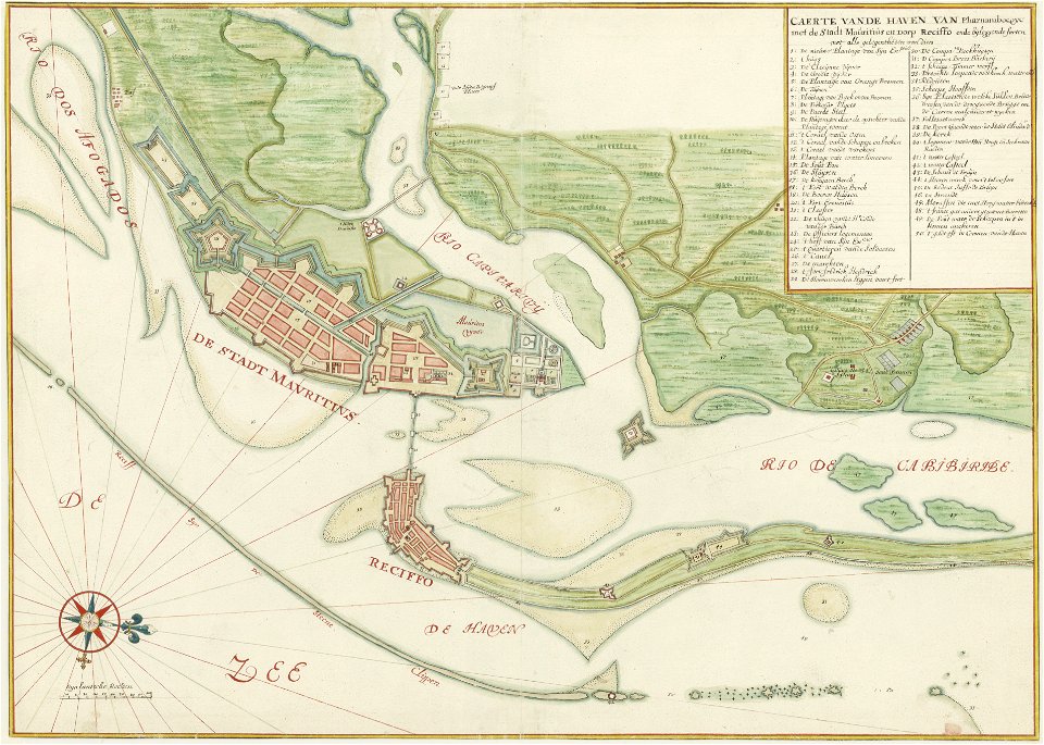
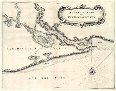
old maps of dutch brazil
1665
old maps of saint petersburg governorate
atlas of the russian empire (1800)
maps of württemberg
langenenslingen
maps in the british museum
giacomo cantelli da vignola
maps of the west-indische compagnie
1644
maps of the west-indische compagnie
1770
johannes janssonius waasbergen
1672
maps of the west-indische compagnie
1647
andreas cellarius
geocentric model
old celestial maps
frederick de wit
description de l'universe
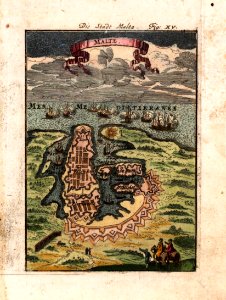
old maps of valletta
bibliothèque municipale de reims
rès. g 152
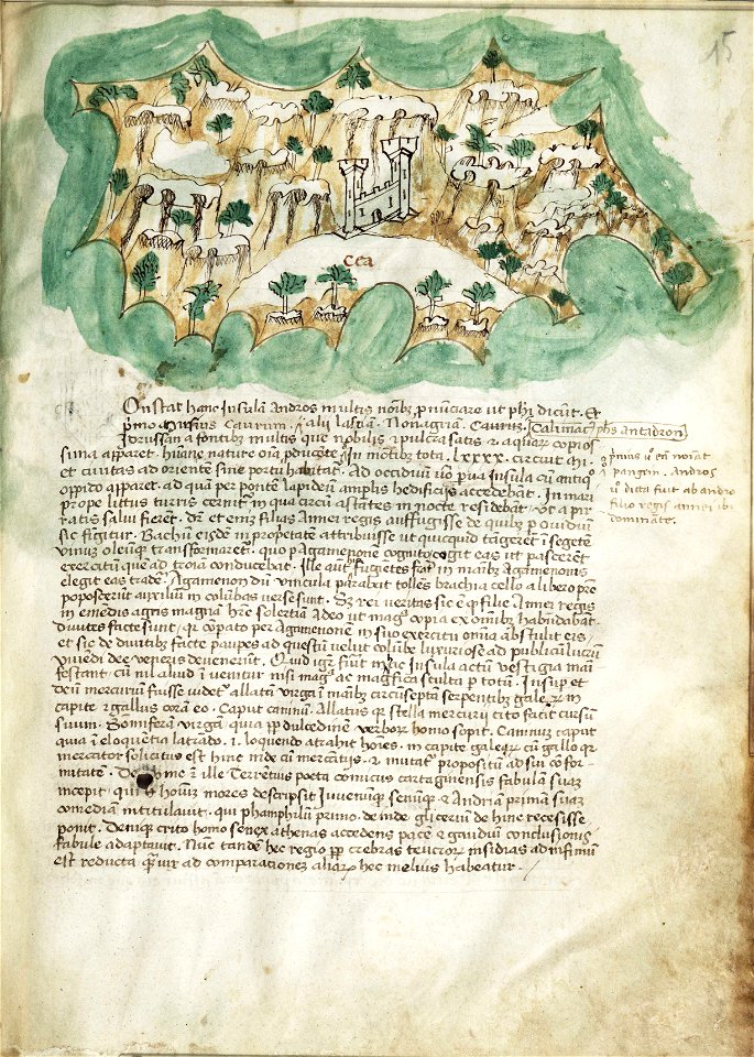
liber insularum archipelagi (royal museums greenwich)
maps of euboea
map of gouda by jacob van deventer
huize groeneweg
liber insularum archipelagi (royal museums greenwich)
gelibolu
engravings of topographia saxoniae inferioris
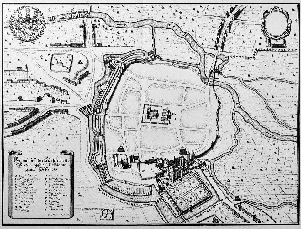
güstrow in the 17th century
map of goes by jacob van deventer
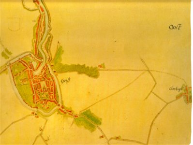
relief of goes
billerica and bedford railroad
satirical prints in the british museum
satirical prints in the british museum
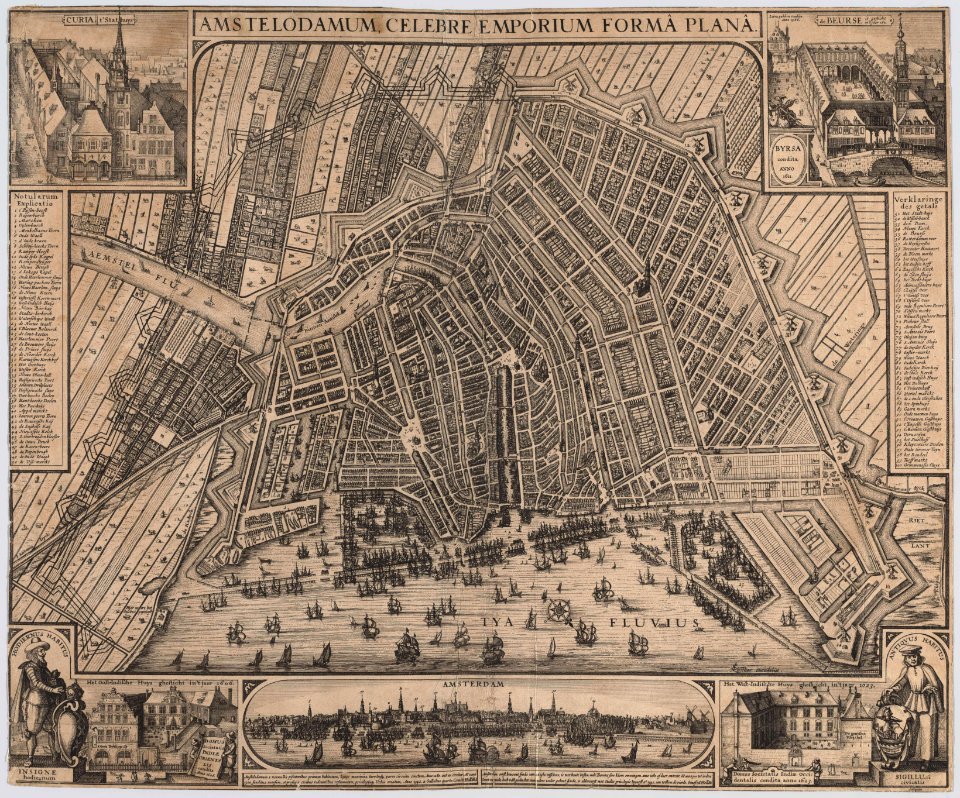
old maps of amsterdam
pierre fouquet junior
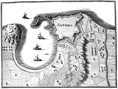
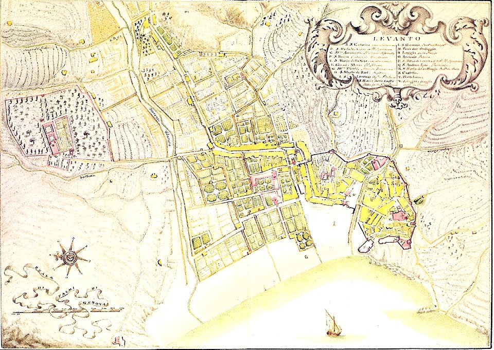
18th-century maps of liguria
levanto
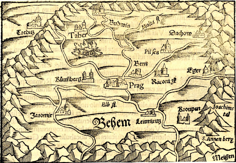
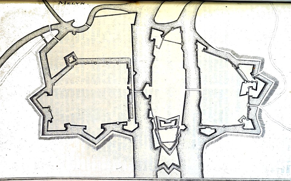
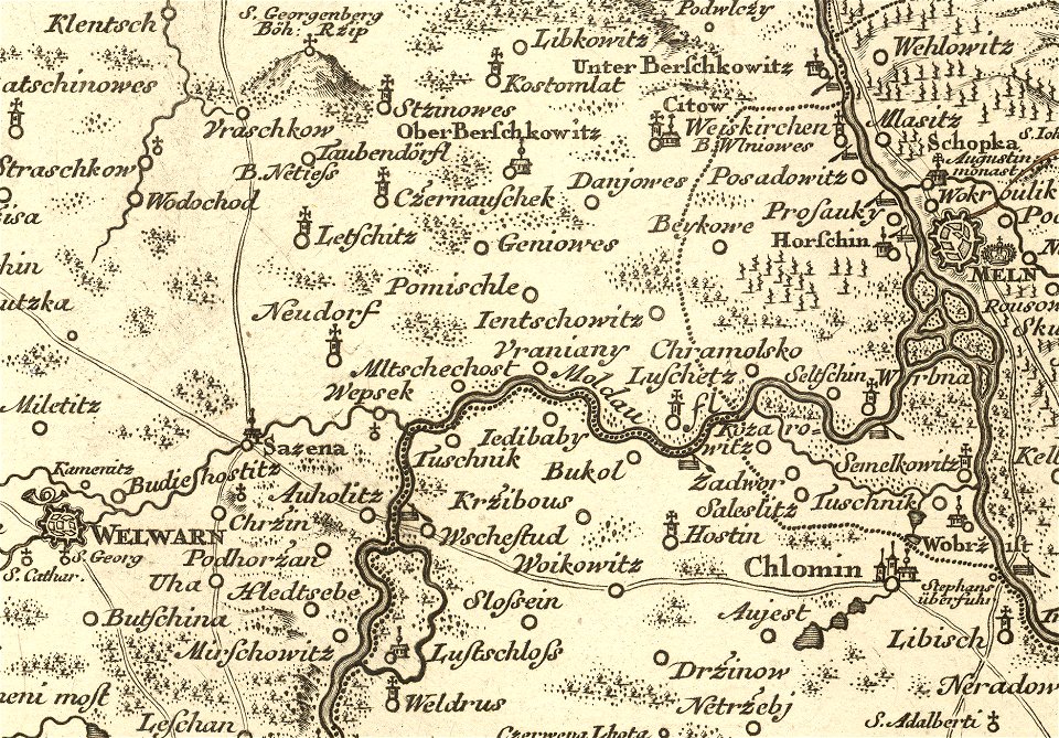
details of müller's map of bohemia
libotenice
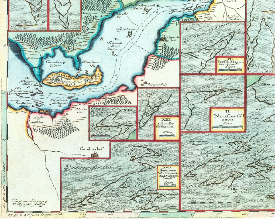
schlei
arni
geographical illustrations by coronelli
old maps of the peloponnese
the antiquities of magna graecia (1807)
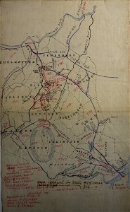
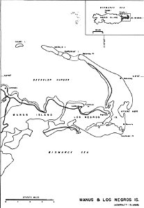
admiralty islands campaign
manus island
small atlas of the russian empire (1796)
maps by antonio zatta
small atlas of the russian empire (1796)
geographical illustrations by coronelli
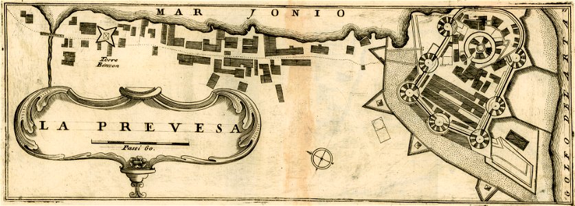
maps of preveza
liber insularum archipelagi (royal museums greenwich)
maps of kalymnos
liber insularum archipelagi (royal museums greenwich)
maps of kea (cyclades)
geographical illustrations by coronelli
engravings of igoumenitsa
encyclopaedia universalis mundaneum
pacific
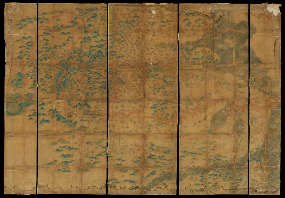
maps in russian state archives of ancient documents
historical images of haradok
chicago and the midwest
newberry library
old maps of amsterdam
pierre fouquet junior
maps in the stadsarchief amsterdam
engravings by cornelis bogerts
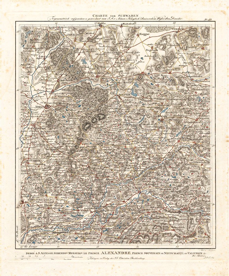
charte von schwaben (bohnenberger)
maps of ravensburg
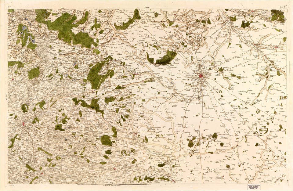
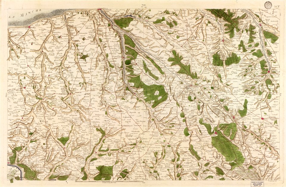
maps in the library of congress
carte de france
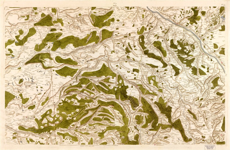
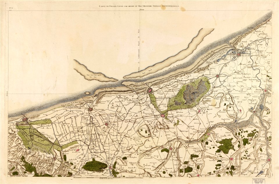
maps in the library of congress
carte de france
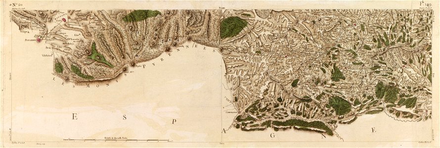
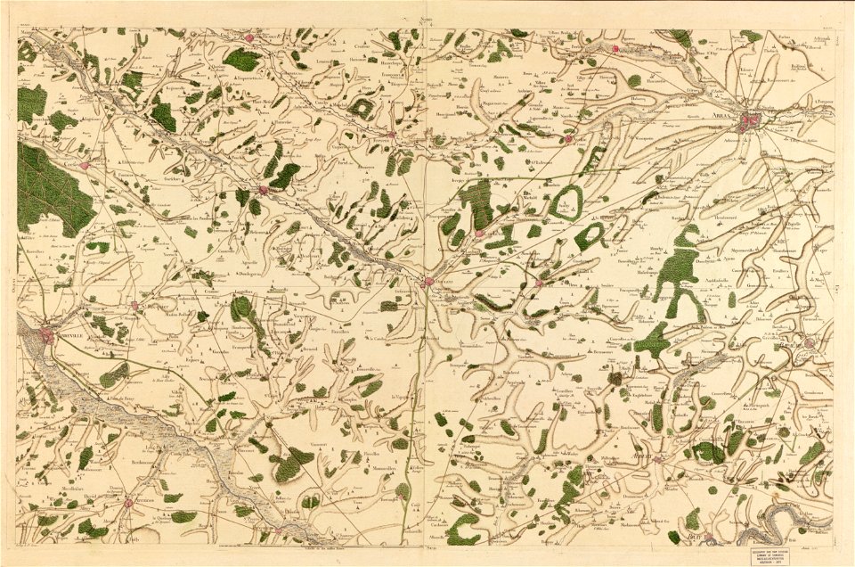
maps in the library of congress
carte de france
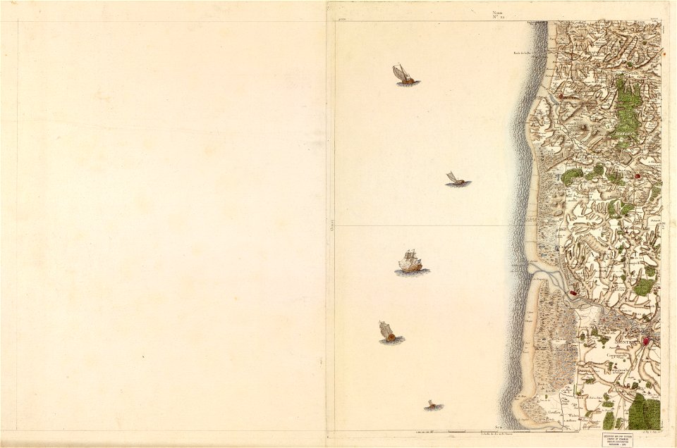
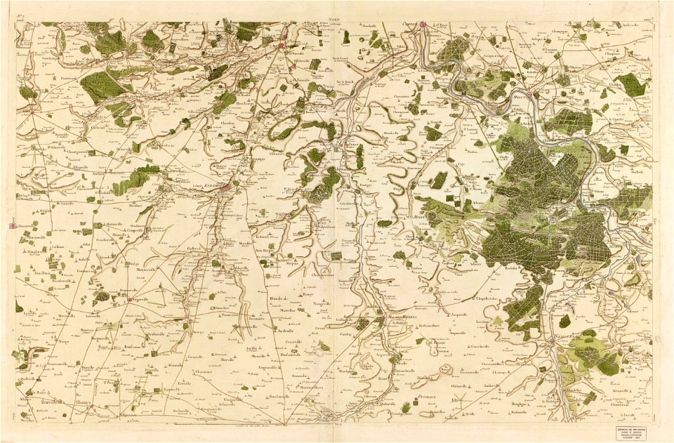
maps in the library of congress
carte de france
maps in the library of congress
carte de france
maps in the library of congress
carte de france
maps in the library of congress
carte de france
maps in the library of congress
carte de france
maps in the library of congress
carte de france
maps in the library of congress
carte de france
maps in the library of congress
carte de france
maps in the library of congress
carte de france
maps in the library of congress
carte de france
maps in the library of congress
carte de france
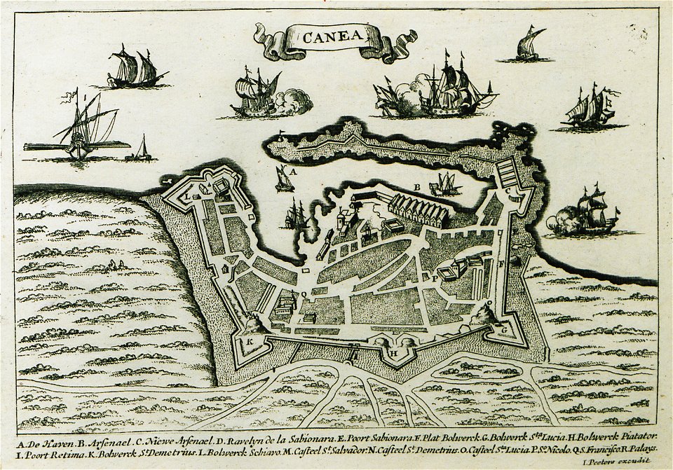
description des principales villes (1690)
old maps of chania
geographical illustrations by coronelli
old maps of the peloponnese
paintings in the metropolitan museum of art
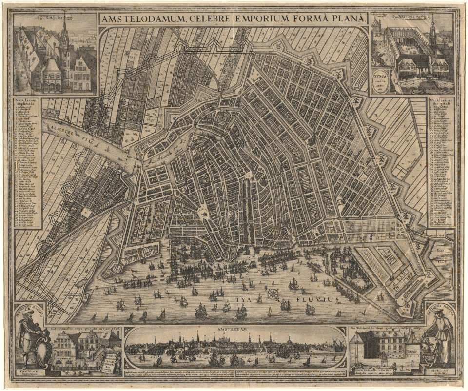
maps in the stadsarchief amsterdam
claes jansz. visscher (ii)
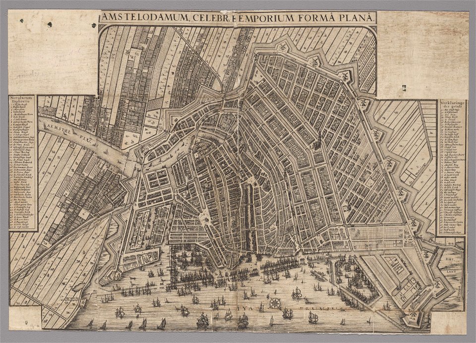
maps in the stadsarchief amsterdam
claes jansz. visscher (ii)
maps in the stadsarchief amsterdam
claes jansz. visscher (ii)
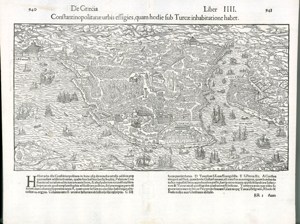
old maps of istanbul
description des principales villes (1690)
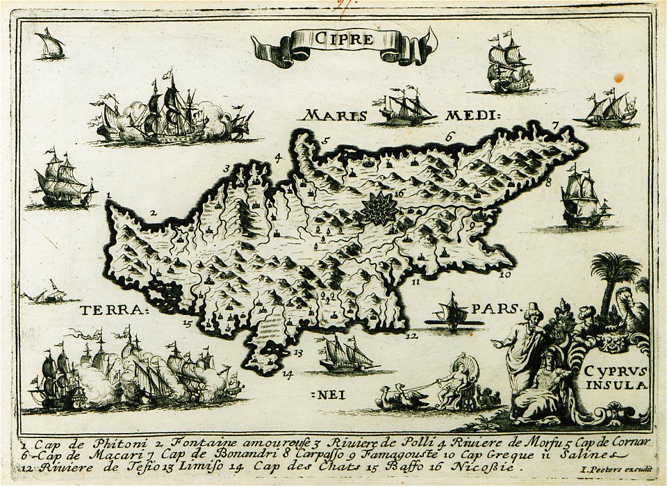
old maps of cyprus
atlante veneto (raremaps.com) volume 1
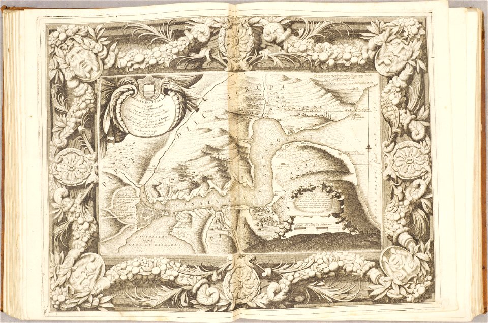
maps of the bosphorus
bibliothèque municipale de reims
rès. g 152
details of müller's map of bohemia
dušníky nad vltavou
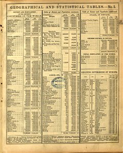
maps in the library of congress
mitchell's school atlas
maps in the library of congress
mitchell's school atlas
maps in the library of congress
mitchell's school atlas
maps in the library of congress
mitchell's school atlas
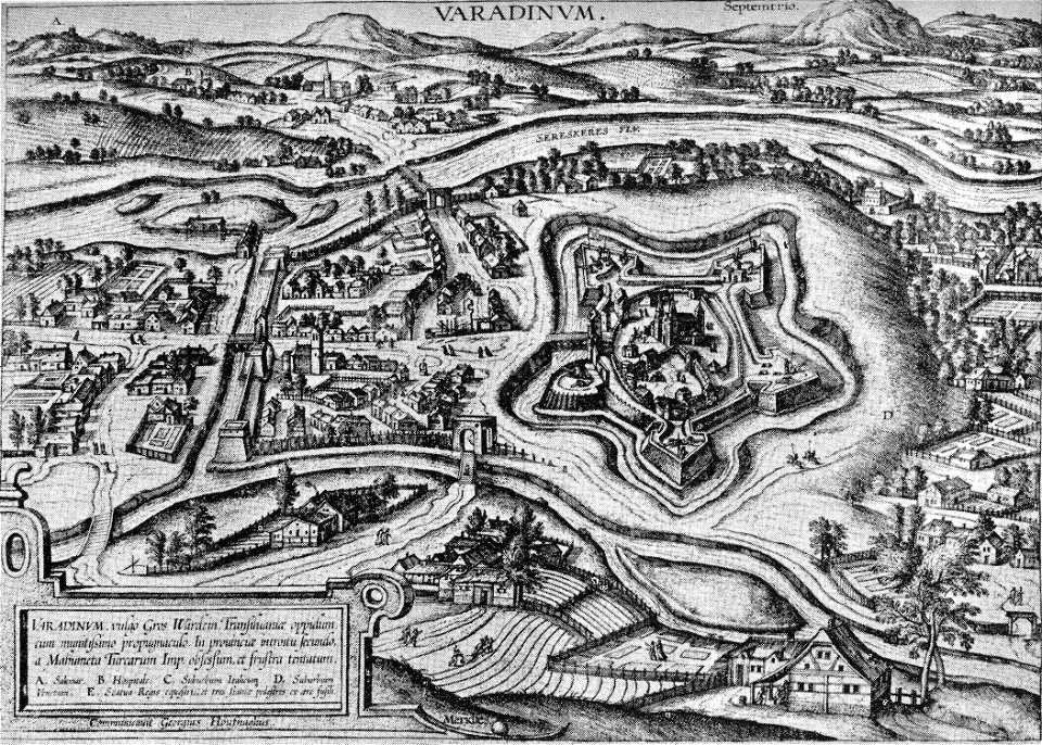
maps and topographical views by joris hoefnagel
historical images of oradea
charts and maps of the royal museums greenwich
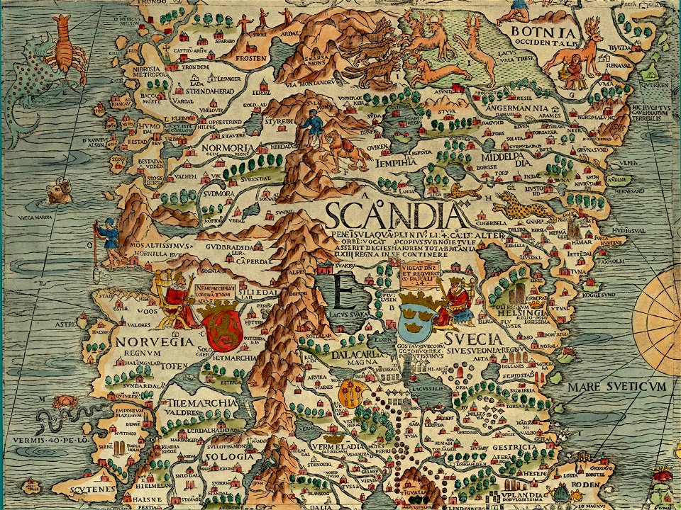
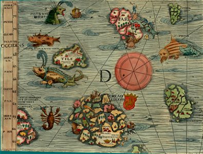
carta marina (details)
carta marina (details)
maps in the library of congress
mitchell's school atlas
11501 - 11600 of 357,638
Next page
/ 3577