Log in
All resources
Create a design
Tools
357,549 Free Images of Maps
cc-zero
quality images
pages with maps
quality images by jebulon
quality images missing sdc depicts
architecture
travel
taken with sony ilce-7
quality images by wilfredor
quality images of granada
architecture
town
post horn
berries
self-published work
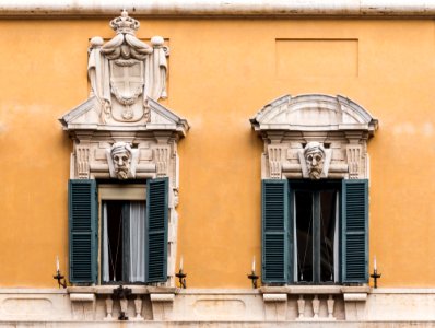
architecture
white windows
facade
la roque-gageac
landscape
people of maracaibo
self-published work
architecture
roof
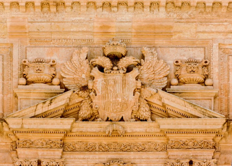
crowns in crest
prince crown
self-published work
pages with maps
self-published work
pages with maps
self-published work
flower
architecture
travel
self-published work
architecture
august 2012 in andalusia
architecture
brewing kettles
odense
blue glass
lampwork
fishermen from isla margarita
travel photography
nature
macro
self-published work
pages with maps
self-published work
architecture
architecture
facade
landscape
travel
self-published work
architecture
roque saint-christophe
2011 in dordogne
self-published work
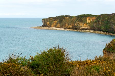
pointe du hoc
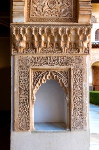
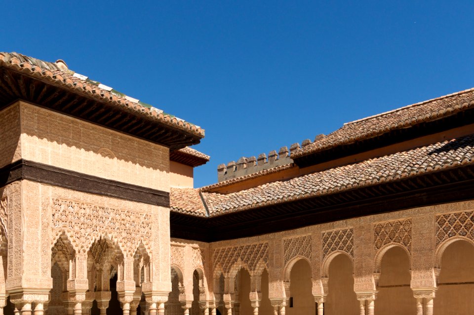
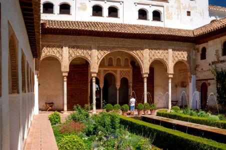
the alhambra photographed in 2014
nasrid art
self-published work
circle
self-published work
architecture
colonial architecture in isla margarita
sidewalk
architecture
censer
self-published work
architecture
self-published work
pages with maps
architecture
town
landscape
green
self-published work
pages with maps
self-published work
pages with maps
landscape
nature
self-published work
architecture
interior design
interior
september 2014 in colmar
pages with maps
self-published work
pages with maps
architecture
landsknecht
the alhambra photographed in 2014
architecture
self-published work
blue
architecture
city
travel
city
travel
city
self-published work
pages with maps
february 2016 denmark photographs
interior design
background
maps
travel
maps
objects with black background
self-published work
landscape
travel
plants
season
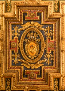
santa maria in aracoeli (rome) - ceiling
reliefs of coats of arms in rome
landscape
sea
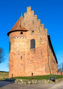
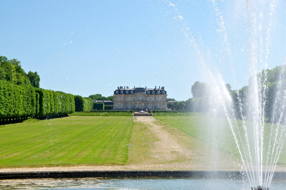
nyborg castle
architecture
self-published work
pages with maps
self-published work
interior
forest
food
2015 in athens
syntagma
wooden doors in andalusia
architecture
los puertos de altagracia
self-published work
thatched roofs in eure
architecture
plants
flower
architecture
facade
self-published work
color
architecture
interior
self-published work
pages with maps
self-published work
pages with maps
architecture
facade
travel
city
alexandre schoenewerk
self-published work
bride and groom
architecture
self-published work
pages with maps
self-published work
killed in action
vehicle
water
vehicle
water
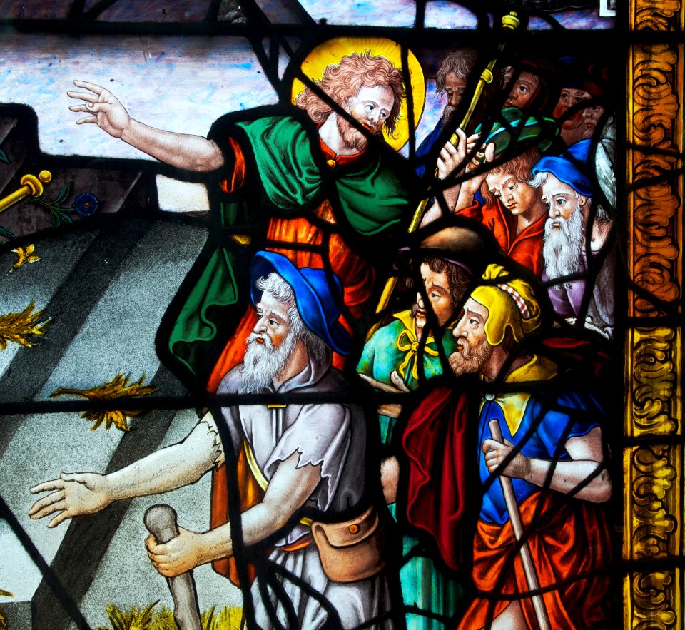
muromachi period
macro
self-published work
architecture
architecture
travel
architecture
travel
self-published work
pages with maps
self-published work
pages with maps
self-published work
pages with maps
cityscape
city
self-published work
pages with maps
architecture
travel
travel
city
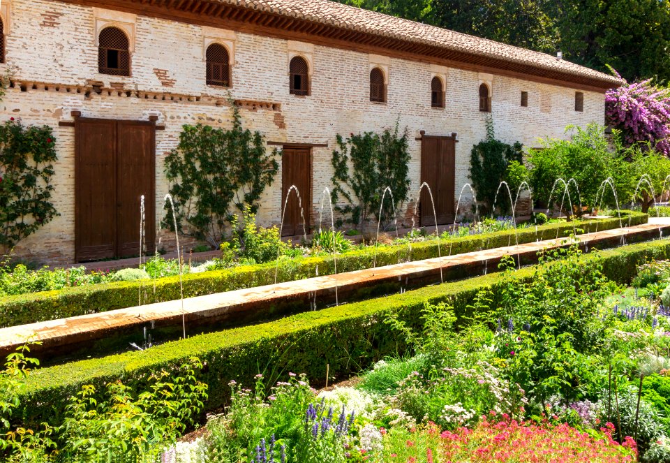
generalife photographed in 2012
architecture
august 2012 in andalusia
2012 in loja
brown
wood
architecture
town
self-published work
pages with maps
self-published work
pages with maps
self-published work
architecture
architecture
latticework
self-published work
architecture
water
boat
self-published work
pages with maps
1801 - 1900 of 357,549
Next page
/ 3576