Log in
All resources
Create a design
173 Free Images of Nautical Chart
frederick william beechey
maps
maps by frederick william beechey
cartography
richard brydges beechey
william chimmo
map
scrapbook
18th-century french nautical charts
joseph roux
nautical
sailing
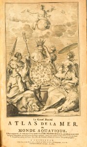
vincenzo coronelli
1690s maps
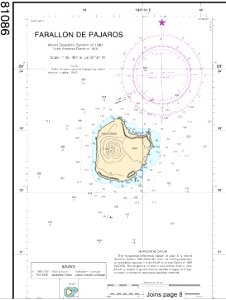
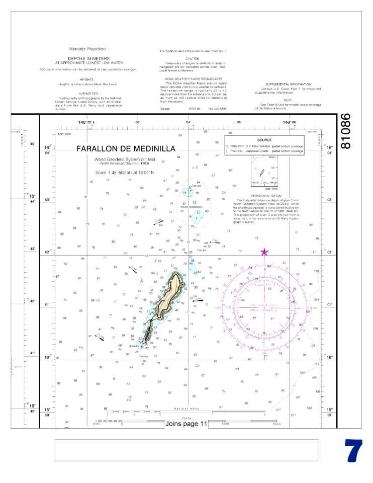
national oceanic and atmospheric administration
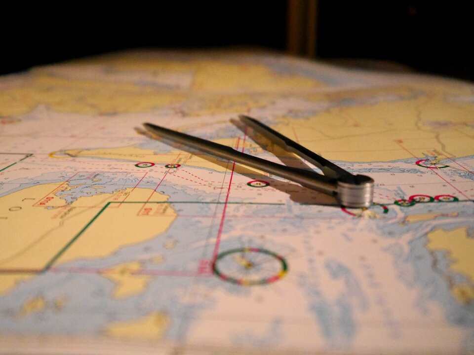
nautical chart
national oceanic and atmospheric administration
nautical chart
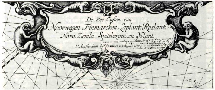
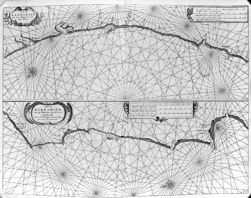
johannes van keulen
nautical chart
nautical charts of norway
johannes van keulen
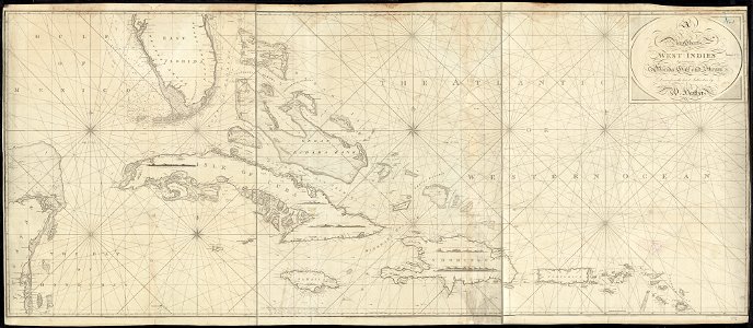
1790s maps of the caribbean
1797 maps
johannes van keulen
nautical chart
maps by frederick de wit
copper engraving
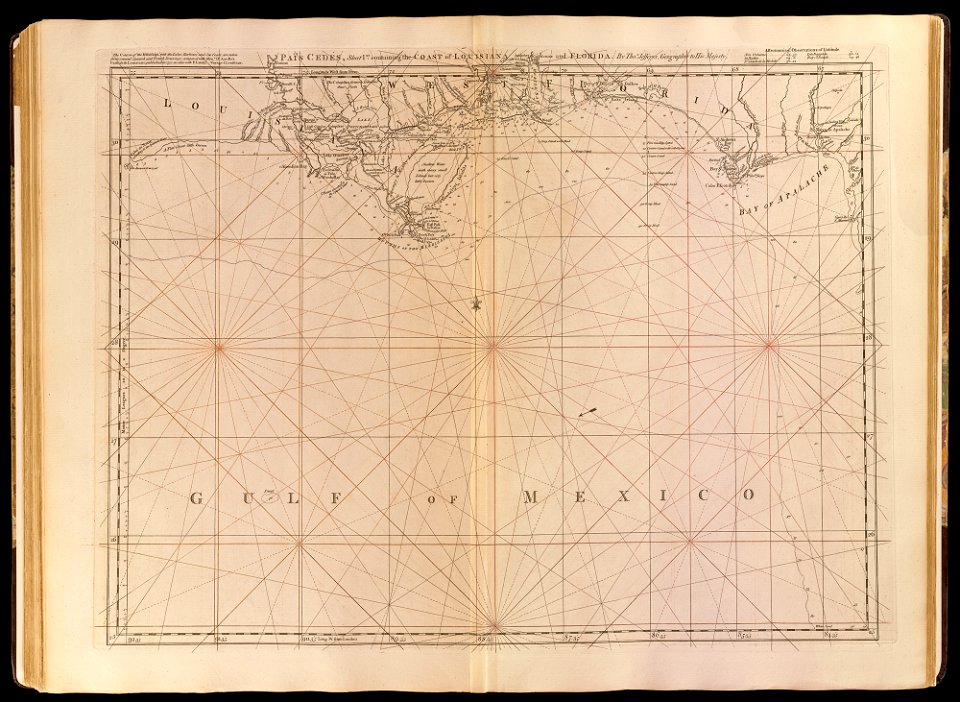
old maps of the gulf of mexico
maps by thomas jefferys
west-indische compagnie
image restoration
maps by thomas jefferys
old maps of florida
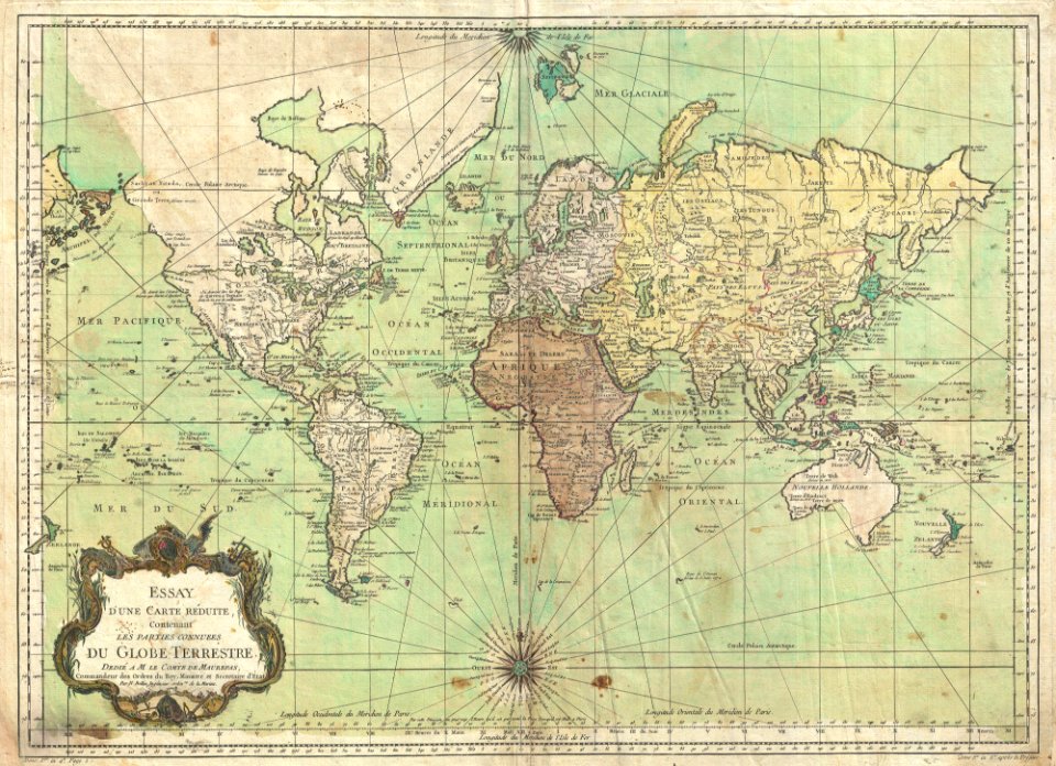
maps by jacques-nicolas bellin
jacques-nicolas bellin
media contributed by agad presented in former polska.pl portal
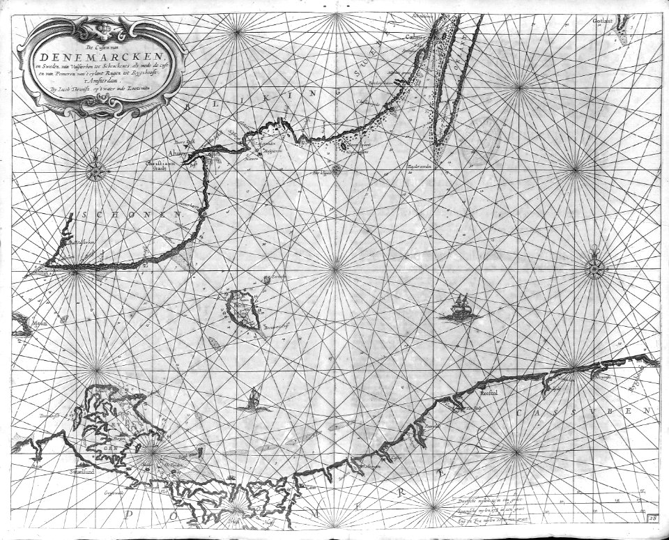
old maps of pomerania
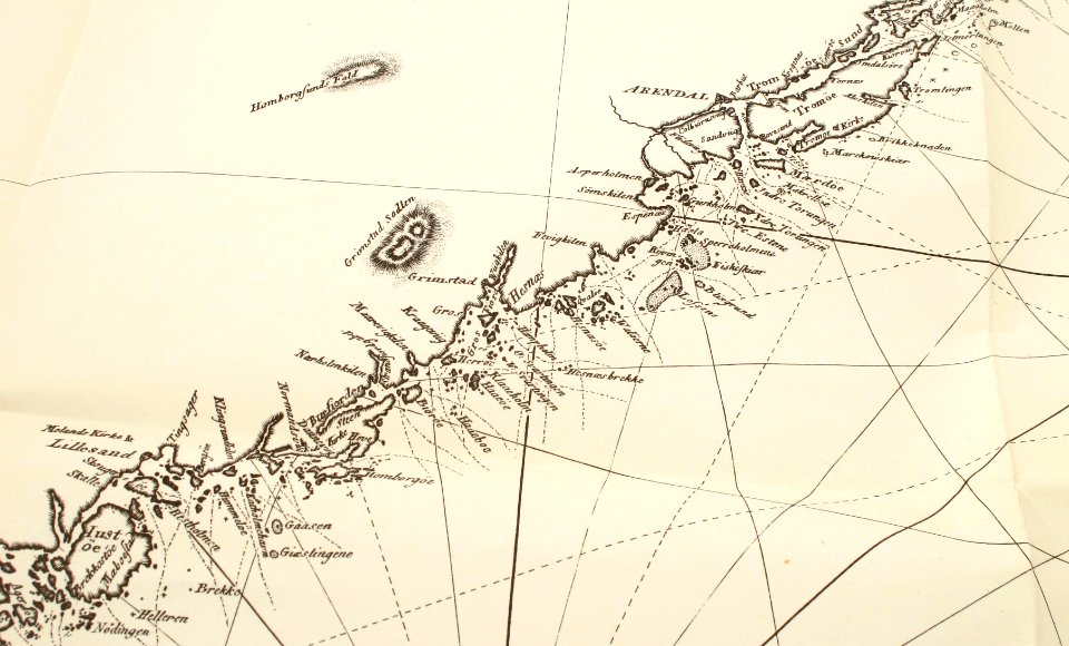
old maps of aust-agder
grimstad
aboard uss thach (ffg-43)
birds in art of france
lions in art
maps by jacques-nicolas bellin
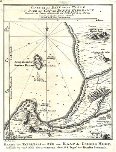
table bay
icons
maps
animals
icons
conquistadors
cartography
aboard uss thach (ffg-43)
navigation
bosphorus
icons
symbol
people reading maps
nautical chart
old maps of cameroon
old maps of liberia
icons
maps
icons
maps
aboard uss fort mchenry (lsd-43)
aboard uss gunston hall (lsd-44)
navy of togo
hydrographic and oceanographic department, japan coast guard
old japanese nautical charts
nouméa
group
oxygen
navy
18th-century french nautical charts
historical images of souda bay
maps by jacques-nicolas bellin
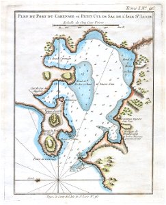
old maps of saint lucia
18th-century french nautical charts
old maps of lesbos
media contributed by the frick collection
naïve art
admiralty charts region b: england wales ireland english channel southern north sea
admiralty charts 1801-2000
kantharos harbour (piraeus)
maps of piraeus
18th-century french nautical charts
red and yellow
18th-century french nautical charts
old maps of thessaloniki
maps of the turks and caicos islands
1782 maps of the caribbean
maps by willem and johannes blaeu
dutch-language maps
admiralty charts region b: england wales ireland english channel southern north sea
admiralty charts 2401-2600
old maps of skagerrak
maps of oslofjorden
old maps of the polish-lithuanian commonwealth
17th-century maps of prussia
admiralty charts 2601-2800
sligo bay
cartouches by willem and johannes blaeu
dutch-language maps
admiralty charts 2601-2800
tralee
admiralty charts region c: scotland
admiralty charts 1801-2000
admiralty charts 2601-2800
achill head
admiralty charts region b: england wales ireland english channel southern north sea
admiralty charts 1401-1600
mapping
human
admiralty charts region c: scotland
admiralty charts 4001-
admiralty charts region u: north america east coast
admiralty charts 201-400
admiralty charts region c: scotland
admiralty charts 2001-2200
catalan atlas
admiralty charts region c: scotland
admiralty charts 2801-3000
mapping
human
admiralty charts region r: usa and mexico west coasts
admiralty charts 1801-2000
admiralty charts region u: north america east coast
admiralty charts 201-400
mapping
human
admiralty charts 2001-2200
westport, county mayo
old maps of the tuamotus
old maps of polynesia
admiralty charts region r: usa and mexico west coasts
admiralty charts 401-600
admiralty charts region b: england wales ireland english channel southern north sea
admiralty charts 1001-1200
admiralty charts 2601-2800
blacksod bay
de wikisource book leaflet
de nordseeküste (karten)
admiralty charts region b: england wales ireland english channel southern north sea
admiralty charts 1401-1600
admiralty charts 1001-1200
avacha bay
views from admiralty charts
richard brydges beechey
admiralty charts region d: eastern north sea baltic norway iceland faroes svalbard
admiralty charts 3001-3400
old maps of zeeland
old maps of holland
philip island, norfolk island
views from admiralty charts
views from admiralty charts
richard brydges beechey
lucas janszoon waghenaer
1610s maps of norway
views from admiralty charts
san francisco bay
drawings by johan frederik clemens in the statens museum for kunst
gray wash
18th-century french nautical charts
old maps of lemnos
admiralty charts 1-200
skerries, dublin
admiralty charts 1801-2000
preston, lancashire
admiralty charts region t: west indies and central america
admiralty charts 401-600
old maps of the province of a coruña
lucas janszoon waghenaer
admiralty charts 2401-2600
achill head
maps by willem and johannes blaeu
maps of the wadden sea
maps of the gambier islands
admiralty charts 1001-1200
admiralty charts 1801-2000
maps of tawi-tawi
works by johan vinckeboons
image restoration
lucas janszoon waghenaer
bretagne in the 1580s
animals
icons
maps of san francisco bay
admiralty map details
prints, drawings and watercolours of the royal museums greenwich
fred s. cozzens
17th-century maps of the mediterranean sea
1610 maps of europe
1690s maps of the caribbean
1690s maps of the americas
cartography
maps
1650s maps of the atlantic ocean
joan blaeu
cartography
maps
cartography
maps
cartography
maps
cartography
maps
1 - 100 of 173
Next page
/ 2