Log in
All resources
Create a design
47 Free Images of Old Maps Of Louisiana
history
historical
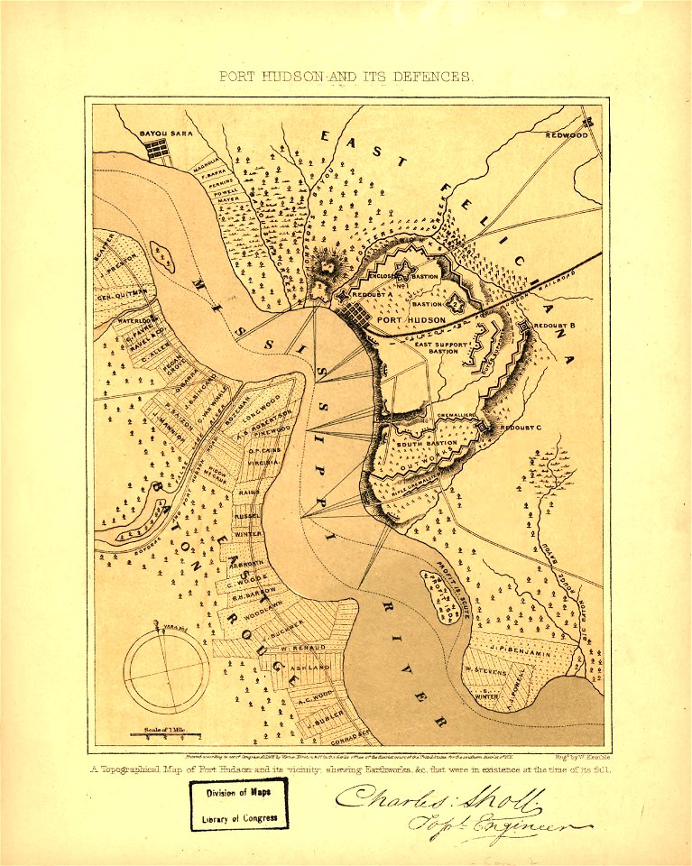
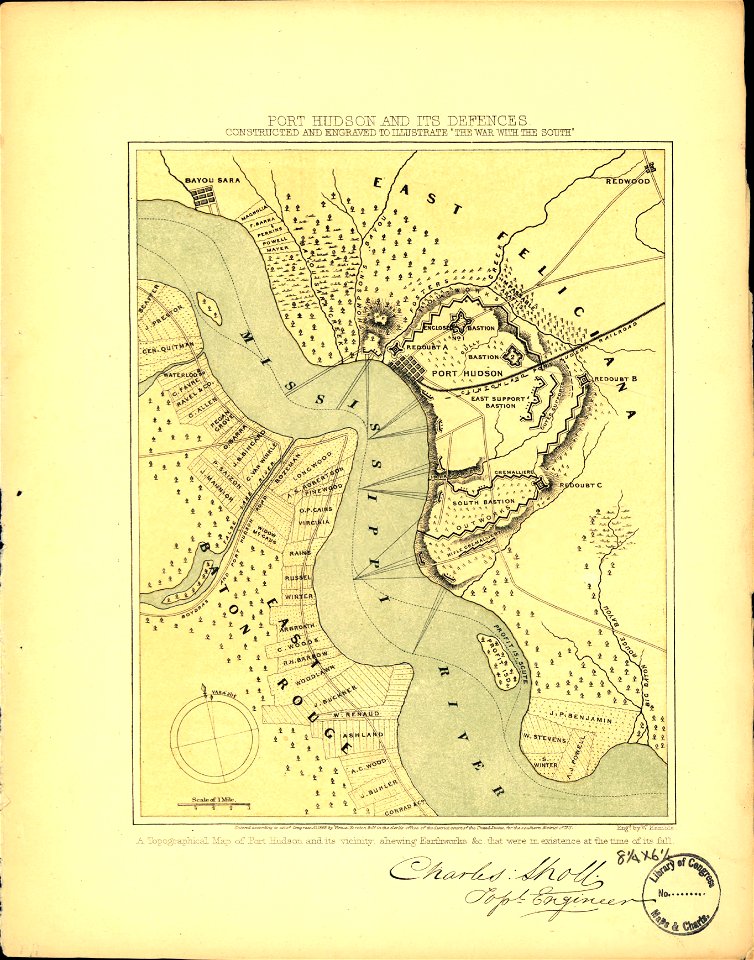
maps in the library of congress
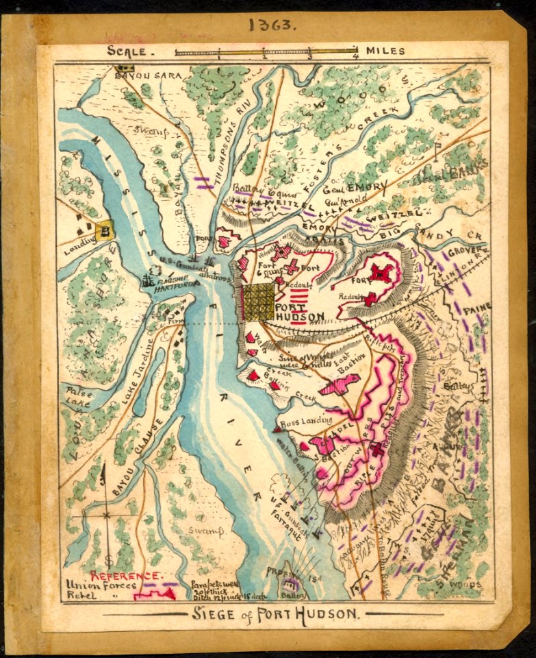
1863 maps
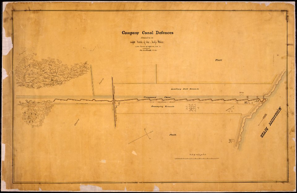
maps of jefferson parish
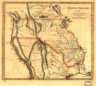
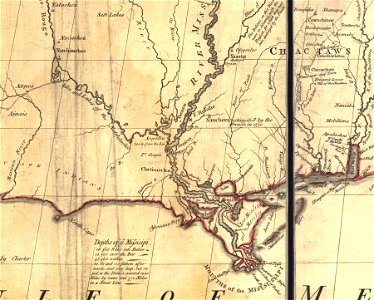
1814 maps
prints from bonne atlas de toutes les parties at the peace palace library
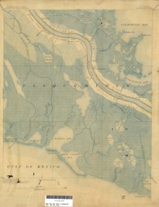
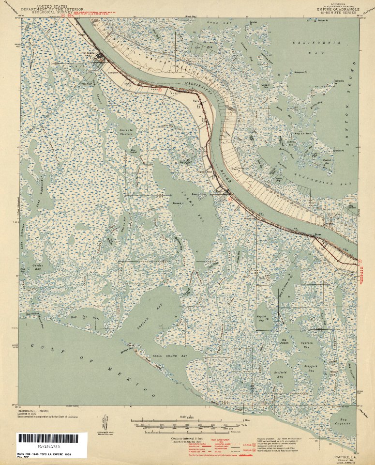
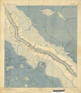
maps of plaquemines parish
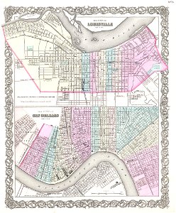
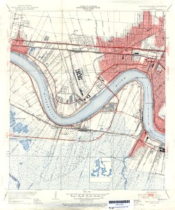
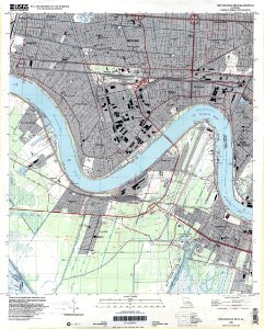
new orleans
jefferson parish
maps in the library of congress
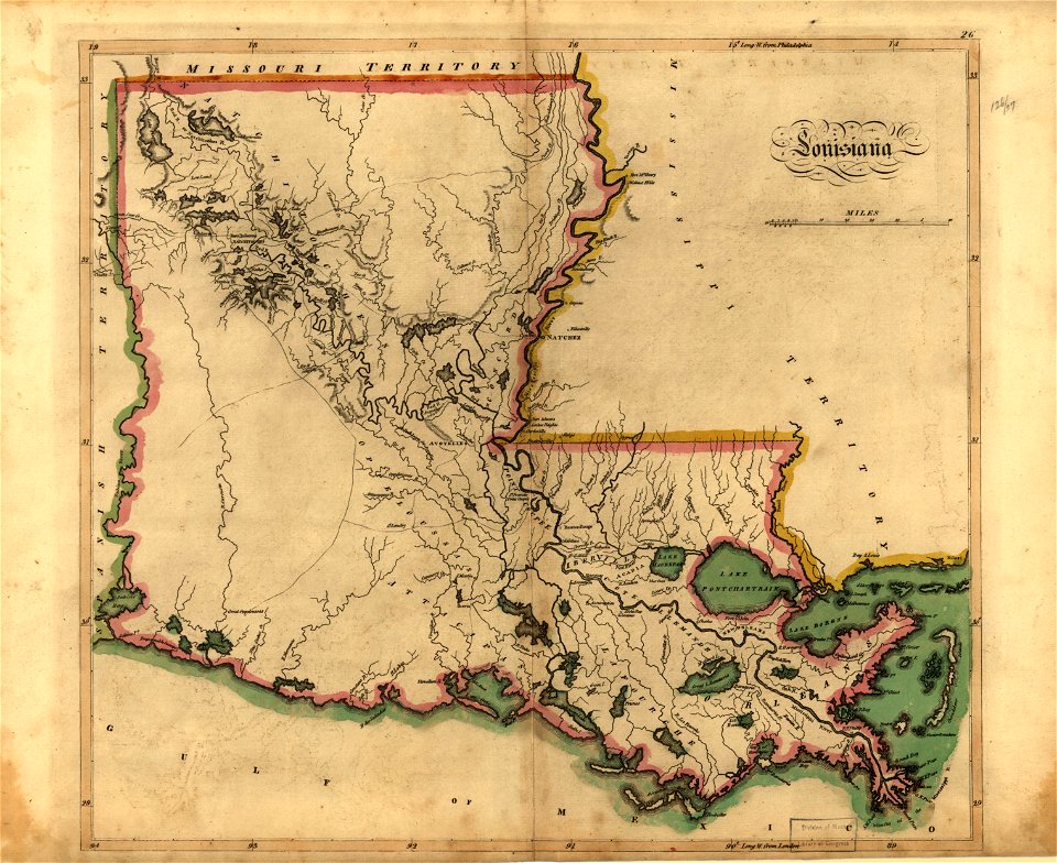
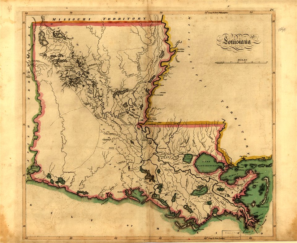
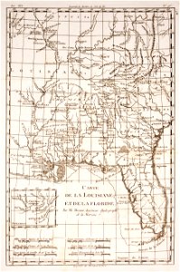
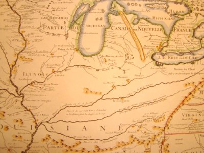
old maps of louisiana
maps in the library of congress
old maps of louisiana
maps in the library of congress
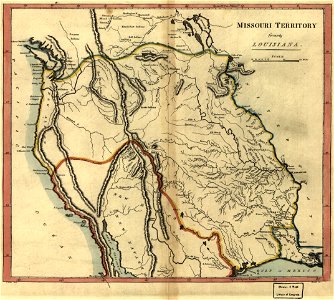
old maps of canada
maps in the library of congress
old maps of canada
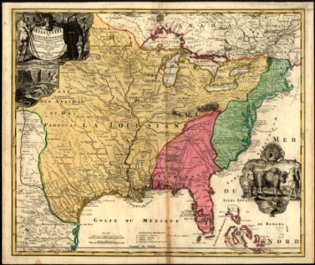
maps of louisiana
louisiana
maps in the library of congress
old maps of louisiana
maps in the library of congress
old maps of louisiana
maps in the library of congress
old maps of louisiana
maps in the library of congress
old maps of louisiana
atlante veneto (raremaps.com) volume 2
old maps of louisiana
cornell university library
old maps of louisiana
maps in the library of congress
old maps of canada
skillshare 2010 stadtarchiv
old maps of louisiana
mobile river
alabama
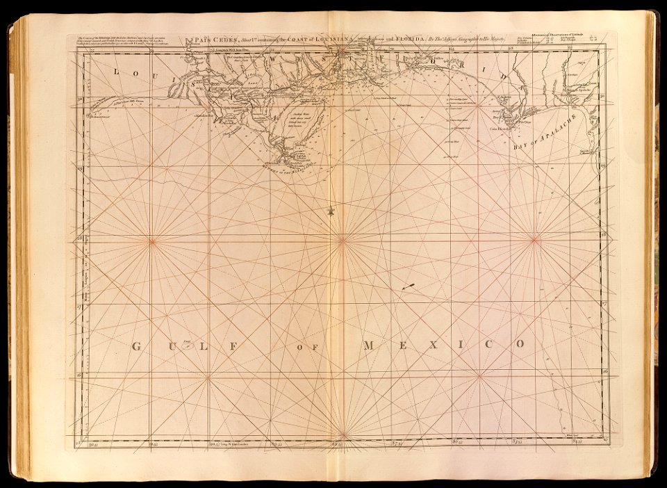
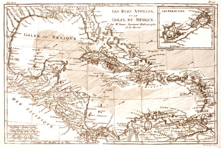
old maps of the gulf of mexico
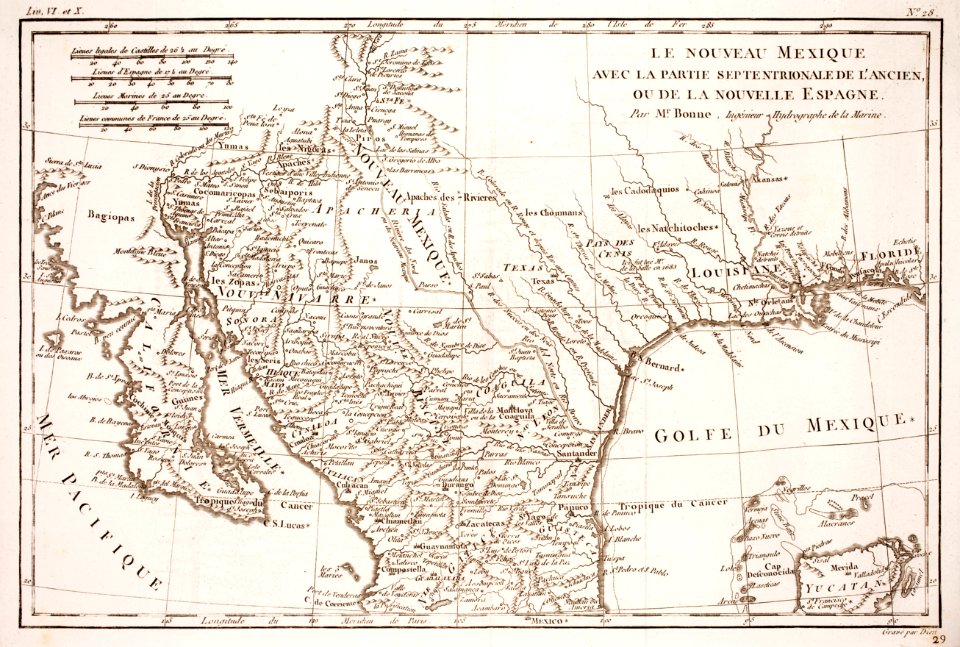
maps by thomas jefferys
maps in the library of congress
old maps of louisiana
old maps of alabama
old maps of florida
18th-century maps of the spanish empire
dien (printer)
louisville,
kentucky
maps in the library of congress
old maps of louisiana
maps in the library of congress
old maps of louisiana
history
empire
historical
history
historical
history
history
empire
historical
history
historical
history
historical
history
historical
history
historical
history
historical
history
historical
history
historical
history
historical
history
historical
history
historical
history
historical
history
historical
history
historical
history
historical
history
historical
history
historical
history
historical
history
historical
history
historical
history
historical
history
historical
history
1 - 47 of 47
/ 1