Log in
All resources
Create a design
13 Free Images of Old Maps Of Paris 1er Arrondissement
lithographs of paris
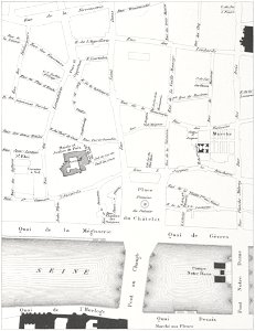
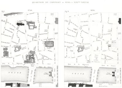
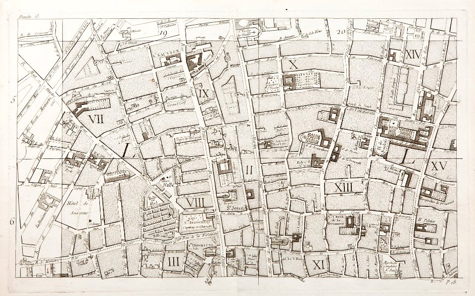
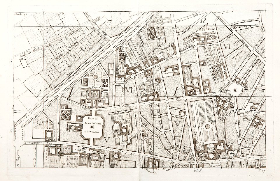
maps of paris in the 1760s
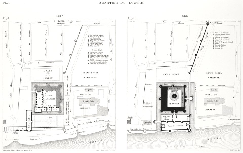
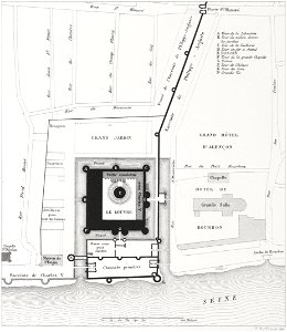
engravings of louvre by theodor hoffbauer
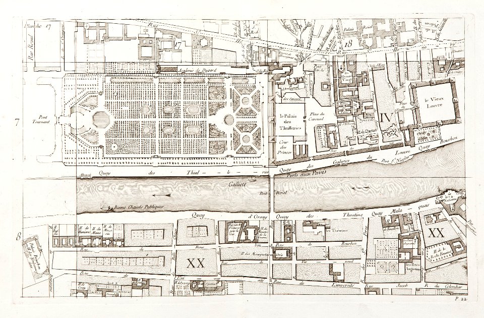
floor plans of paris 1er arrondissement
historical images of pont au change
historical images of the pont notre-dame
historical images of place du châtelet
floor plans of paris
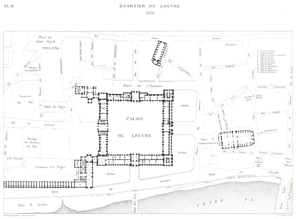
1836 in paris
paris à travers les âges
historical images of pont au change
lithographs of paris
lithographs of paris
grand châtelet
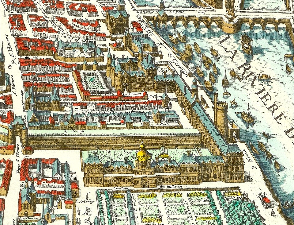
paris in the 16th century
lithographs of paris
lithographs of paris
grand châtelet
old maps of paris 1er arrondissement
lithographs of paris
maps of paris in the 1760s
maps in skokloster castle
place du louvre (paris)
lithographs of paris
seine river in paris
1760 maps
seine river in paris
1760 maps
paris in the 16th century
lithographs of paris
maps in skokloster castle
port du louvre
maps of paris in the 1760s
maps in skokloster castle
historical images of église saint-germain-l'auxerrois
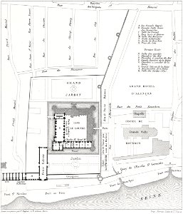
palais du louvre in the 1610s
1 - 13 of 13
/ 1