Log in
All resources
Create a design
19 Free Images of Old Maps Of The British Isles
maps with cartouches
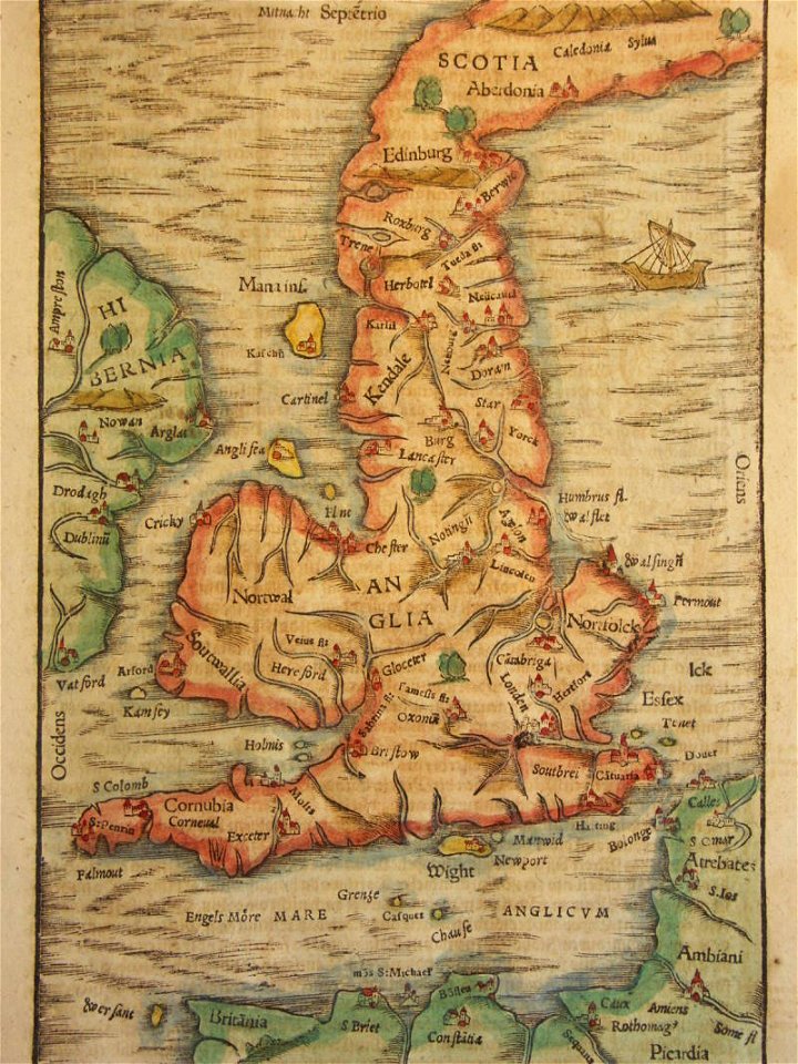
cosmographia (1600) by sebastian münster
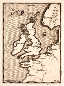
ptolemaic britain
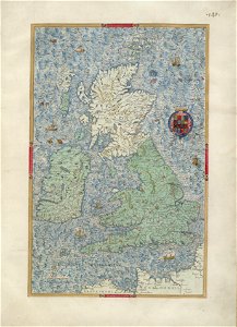
atlas van der hagen
atlas van der hagen (volume 2)
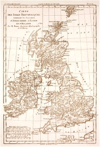
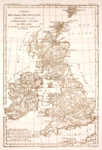
prints from bonne atlas de toutes les parties at the peace palace library
claude-marie-françois dien
cosmographia (1600) by sebastian münster
old maps of the british isles
old maps of the british isles
ptolemaic britain
illustrations of cosmographia (münster)
old maps of the british isles
old maps of the british isles
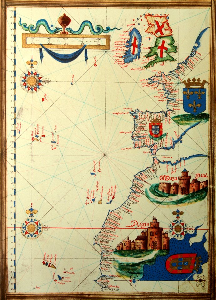
old maps of europe
old maps of the british isles
1890s maps
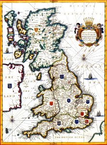
maps by willem and johannes blaeu
old maps of the british isles
yellow
gold
old maps of the british isles
karl spruner von merz
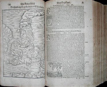
cosmographia (1628) by sebastian münster
old maps of the british isles
old maps of the british isles
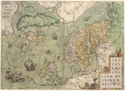
old maps of scandinavia
old maps of the british isles
coats of arms on maps
england
maps
prints from selden mare clausum at the peace palace library
old maps of the british isles
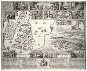
university of toronto wenceslas hollar digital collection
old maps of the british isles
old maps of the british isles
maps made in the 18th century
old maps of the british isles
maps with cartouches
prints from bonne atlas de toutes les parties at the peace palace library
old maps of the british isles
old maps of the british isles
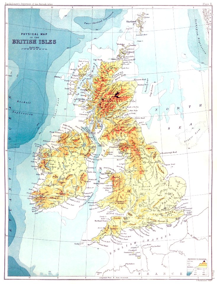
victorian era
historical
history
1 - 19 of 19
/ 1