Log in
All resources
Create a design
29 Free Images of Old Maps Of Zürich
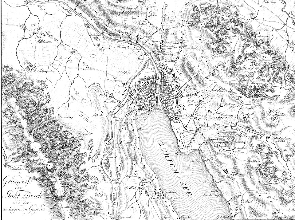
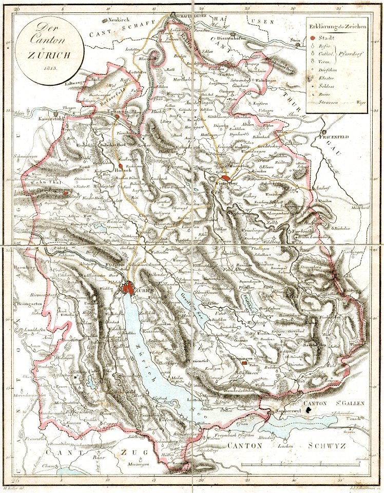
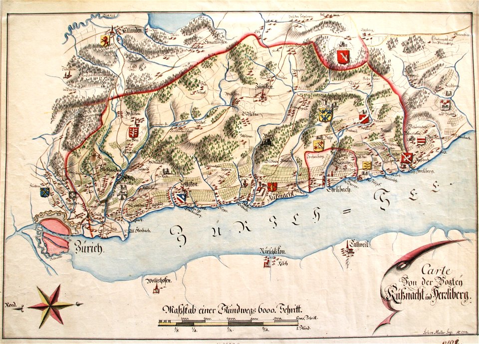
old maps of the canton of zürich
graphische sammlung der zentralbibliothek zürich
engravings of zürich
historical images of fröschengraben
history of rail transport in switzerland
hans-peter bärtschi (architect and photographer)
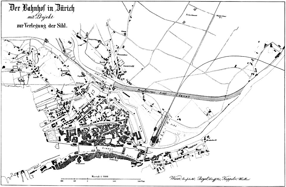
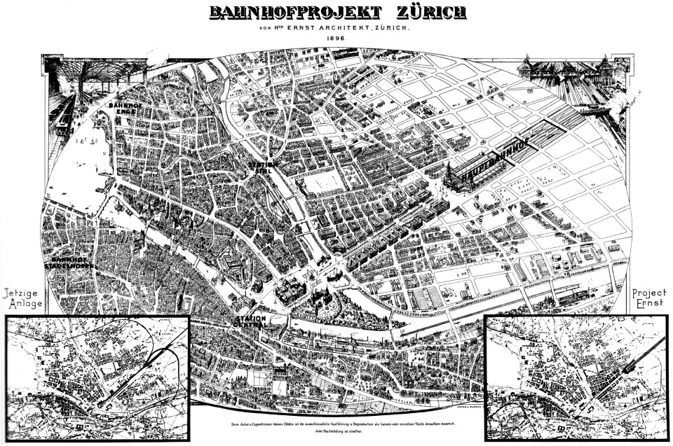
historical plans of zürich hauptbahnhof
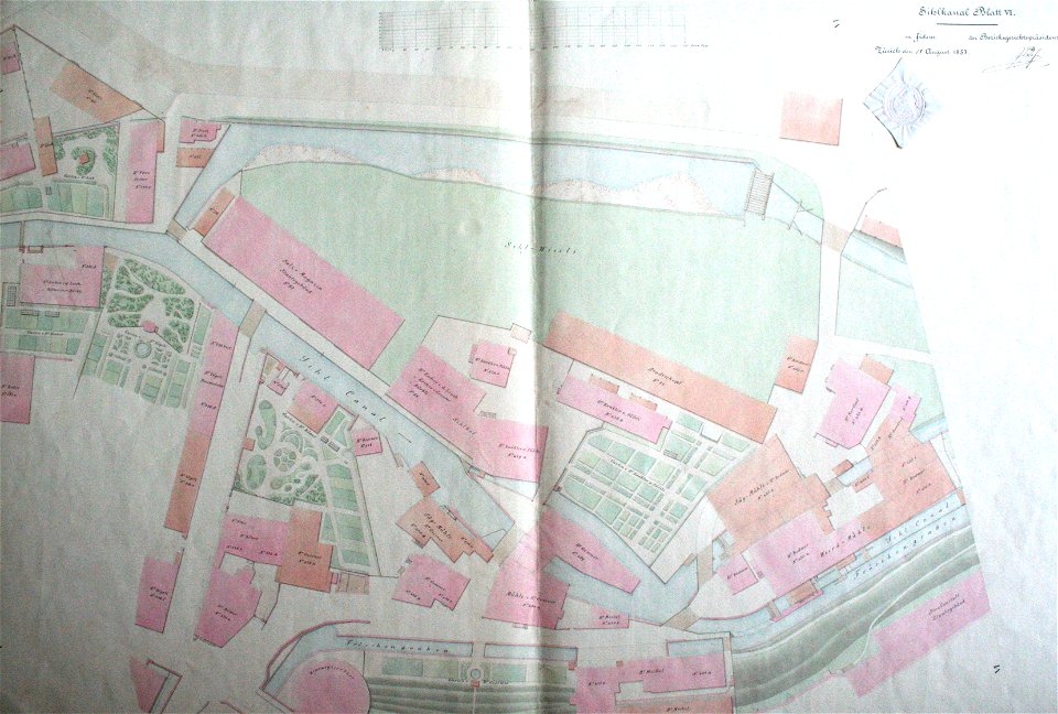
aussersihl
old maps of zürichsee
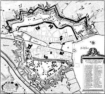
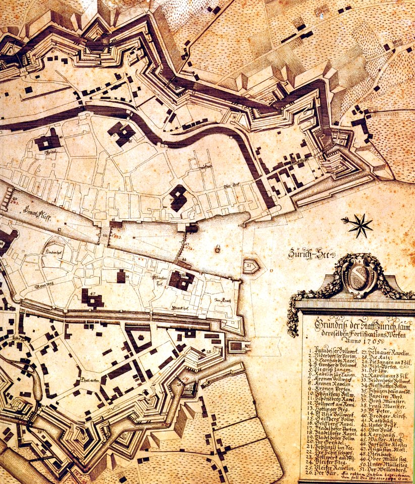
historical images of fortifications of zürich
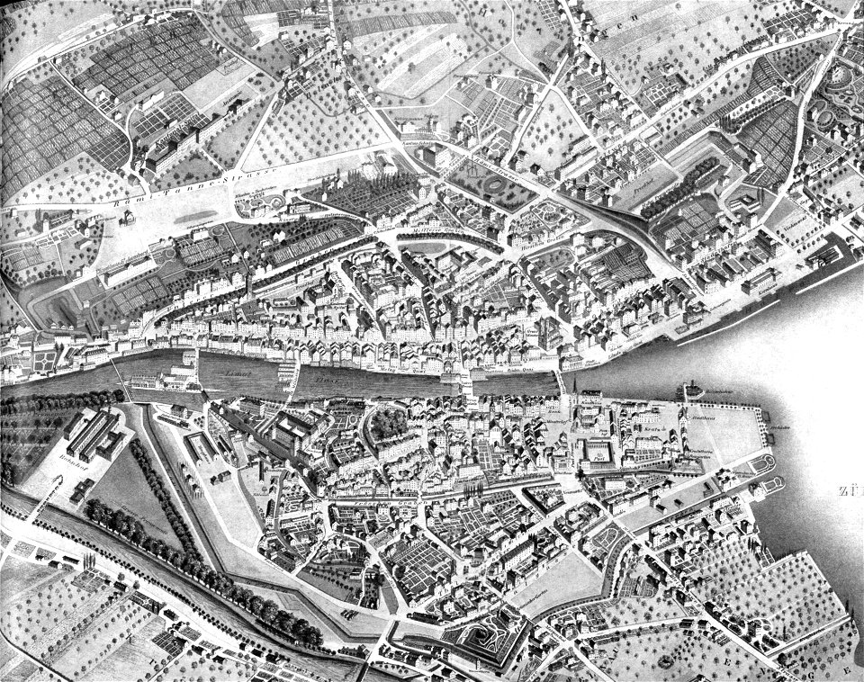
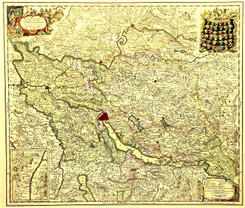
old maps of zürich
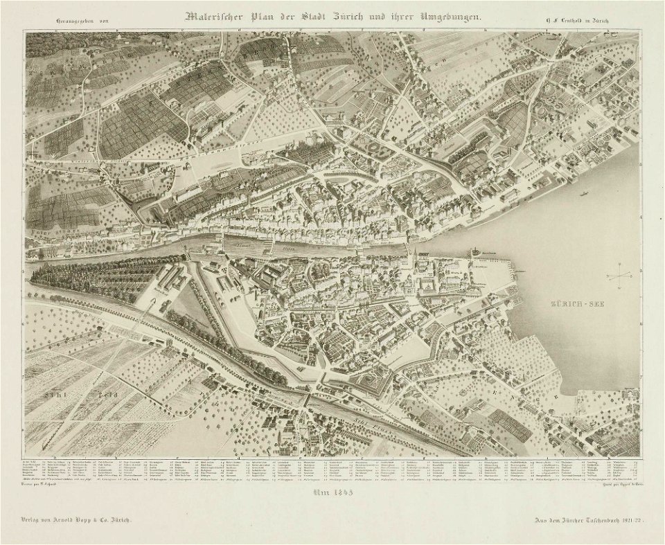
1845 maps
old maps of zürich
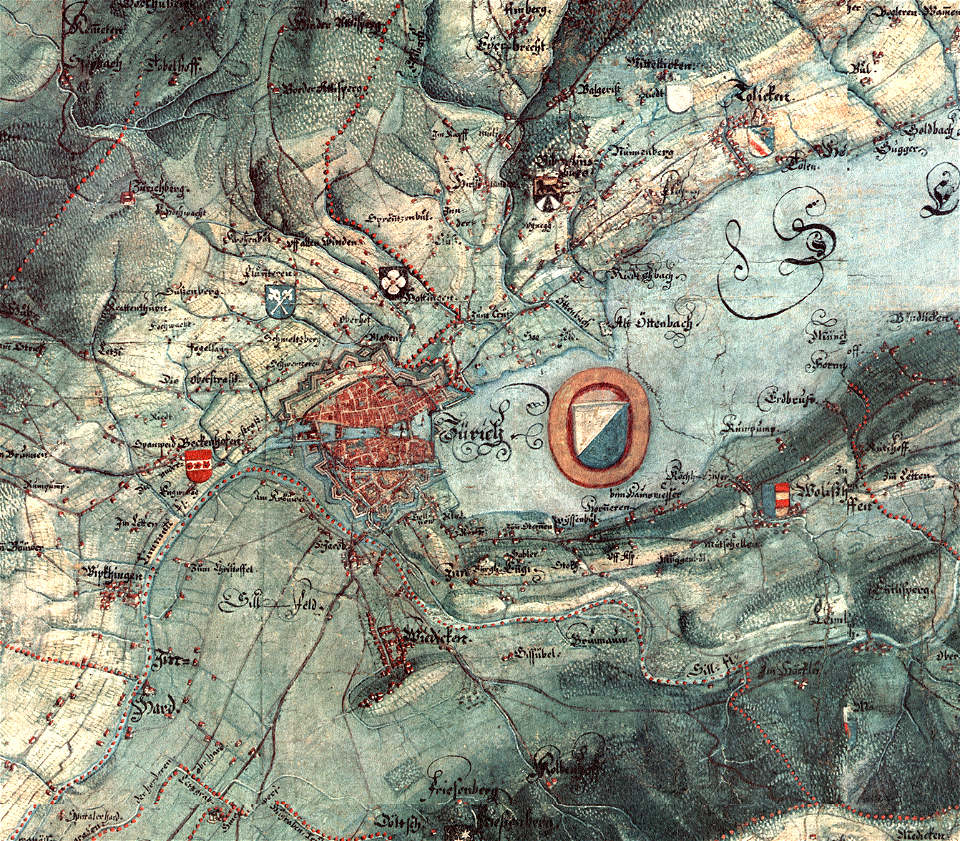
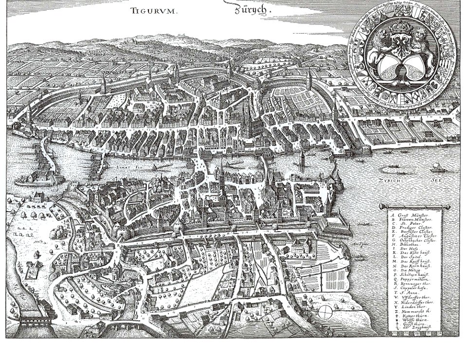
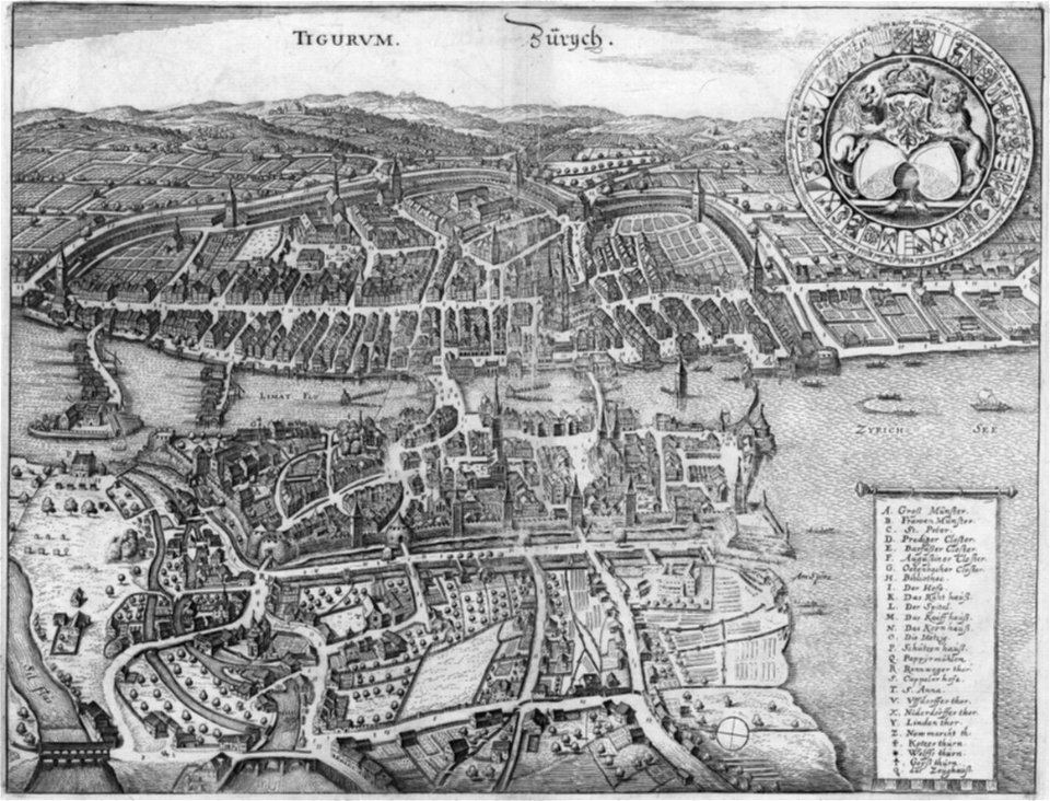
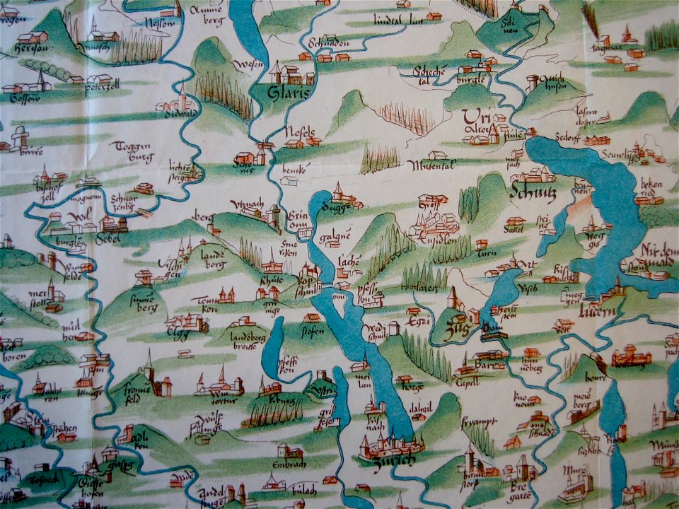
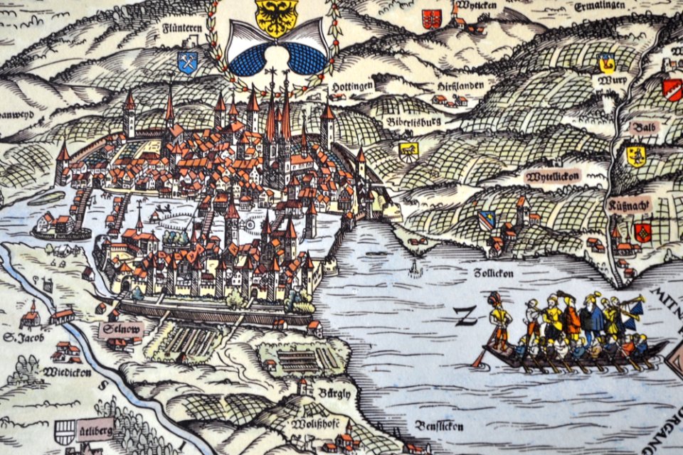
gygerkarte
history of zürich
engraved maps
17th-century engravings
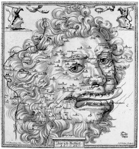
faces of men in art
1846 in switzerland
old maps of zürich
heinrich keller
aussersihl
1638 in switzerland
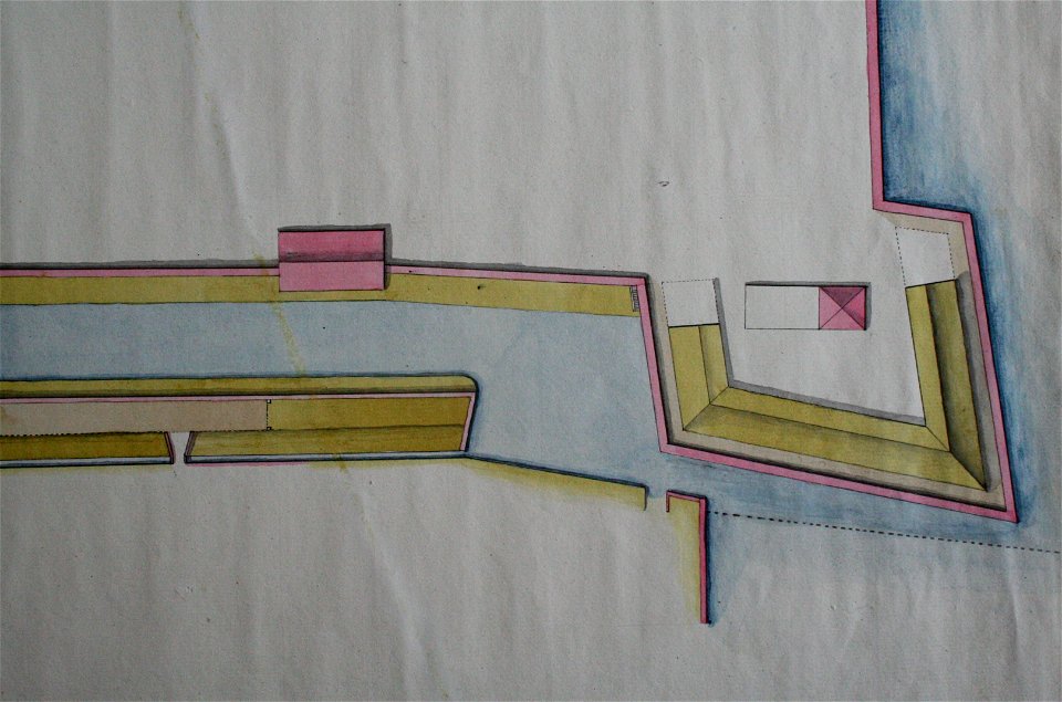
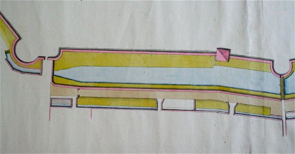
sihlkanal (zürich)
graphische sammlung der zentralbibliothek zürich
old maps of zürich
old maps of zürich
zürich
werdmühle (zürich)
zürich
old maps of zürich
zürich
old maps of zürich
zürich
old maps of zürich
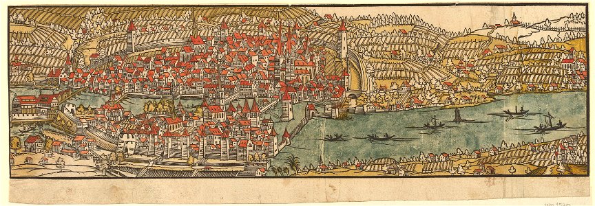
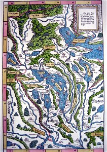
merian helvetiae
old maps of the canton of zürich
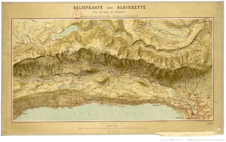
cartography of switzerland
history of rail transport in switzerland
aussersihl
old maps of the canton of zürich
heinrich keller
history of rail transport in switzerland
aussersihl
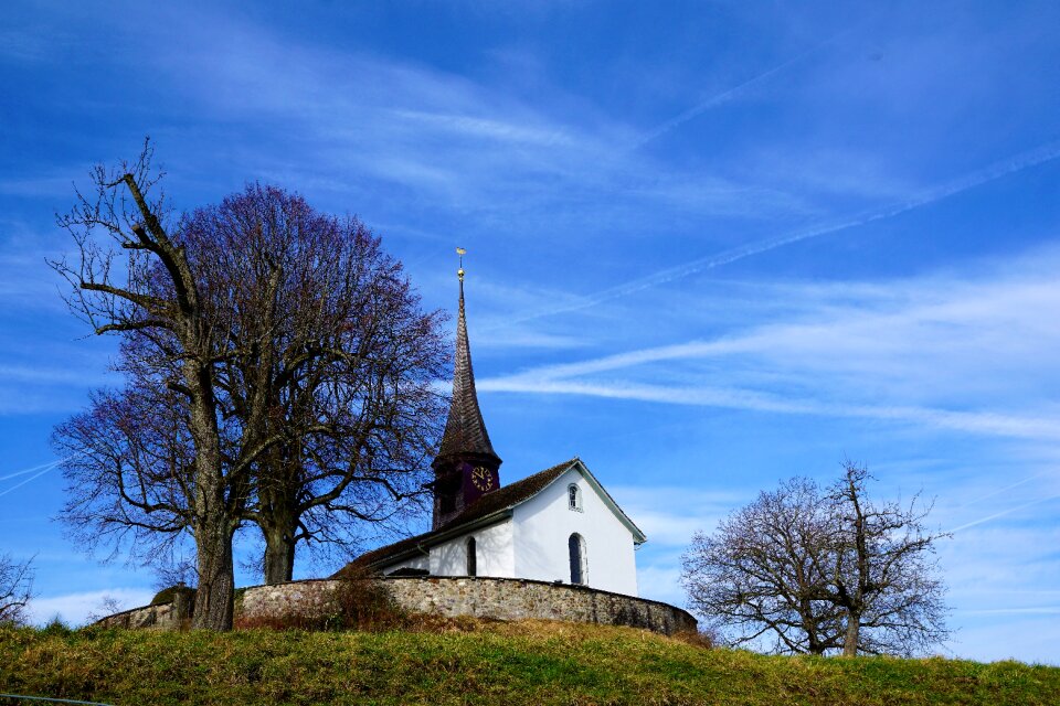
pfannenstiel
hirslanden
delineatio pagi tigurini by matthäus seutter
old maps of switzerland
old maps of the canton of zürich
maps made in the 16th century
zürich hauptbahnhof
1847
sechseläutenplatz
zürich
old maps of the canton of zürich
old maps of switzerland
ferdinand stadler
1847
sechseläutenplatz
bürkliplatz
watercraft on lower lake (zürichsee)
august 2011 in switzerland
building
maps
building
maps
historical
history
1 - 29 of 29
/ 1