Log in
All resources
Create a design
388 Free Images of Shoal
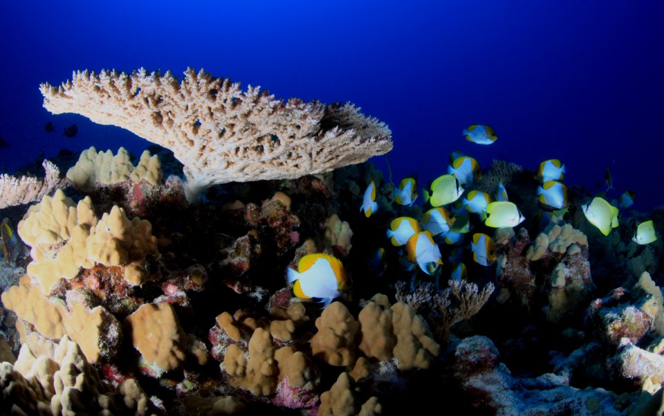
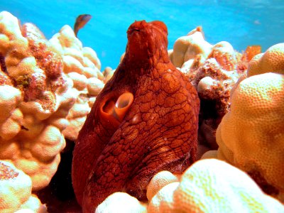
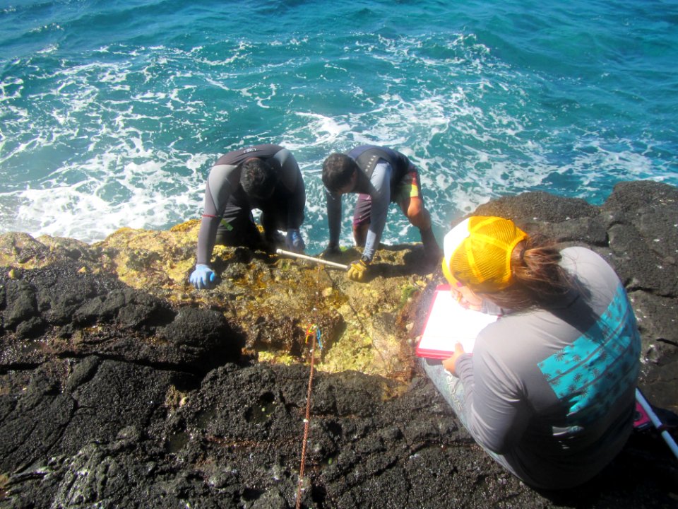
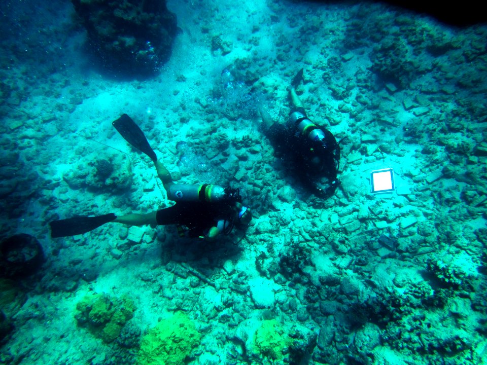
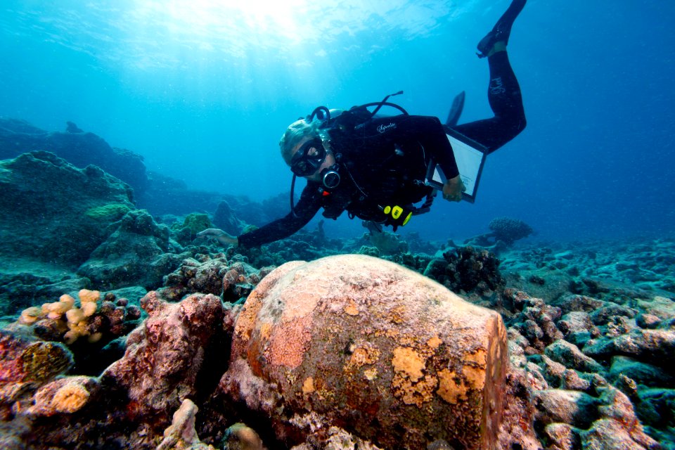
papahanaumokuakea
medical
world heritage site
northwestern hawaiian islands
marine national monument
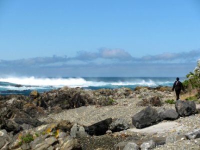
french frigate shoals
ocean
hawaii
blue
underwater
historical
history
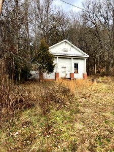
curt teich postcard archives
postcards of missouri
travel
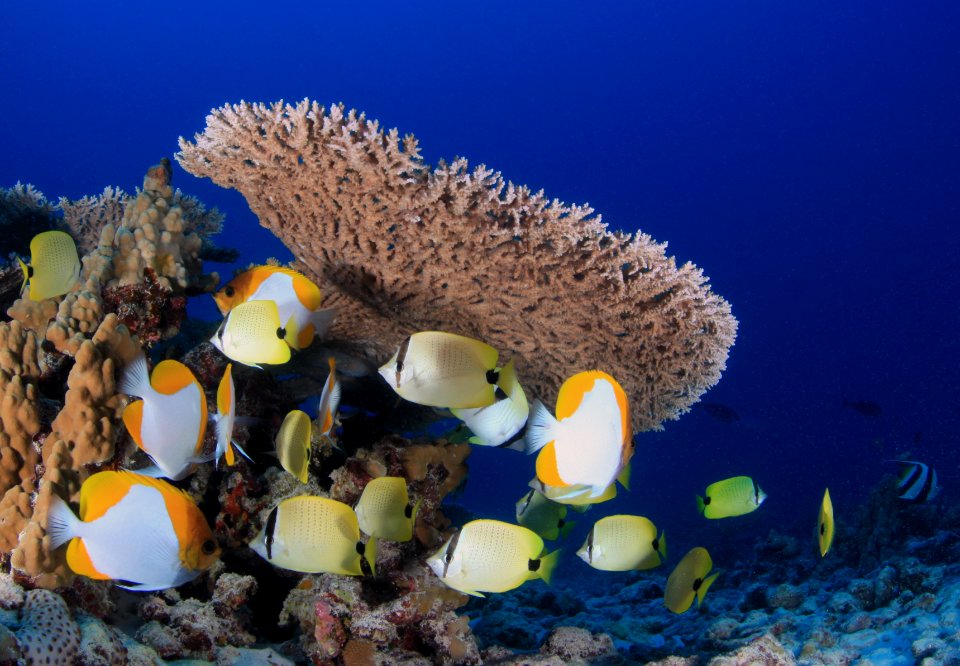
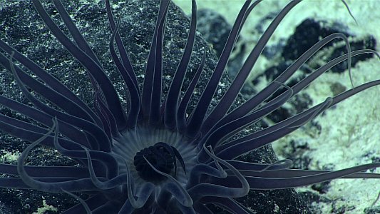
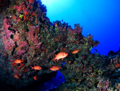
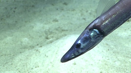
fish
historical
history
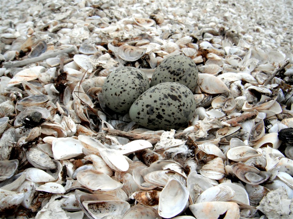
animals
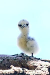
bird
backs of postcards in curt teich postcard archives
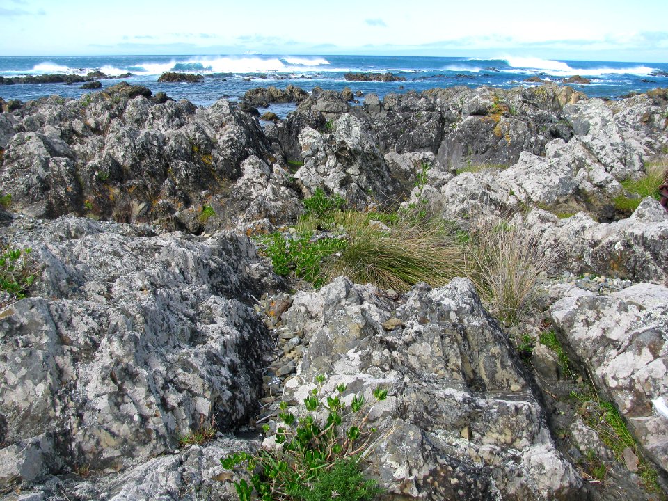
landscape
rock
medical
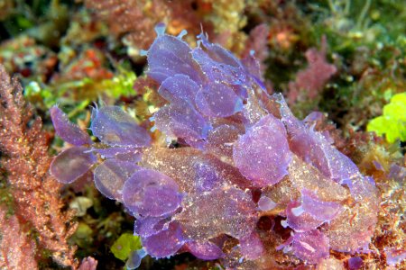
fish
medical
fish
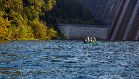
the new england magazine, 1912
worden wood
water
rock
wisconsin
refuge
historical
history
william frederick de haas
1878 paintings
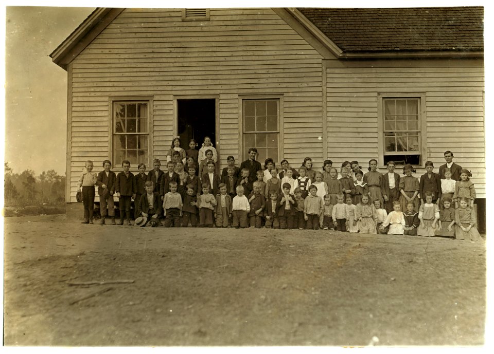
school
fish
wildlife
travel
historical
history
medical
fish
school
fish
animals
fish
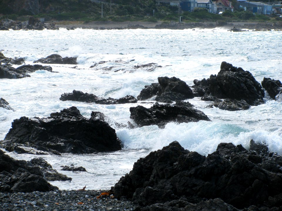
landscape
rock
water
fish
underwater
medical
historical
history
historical
history
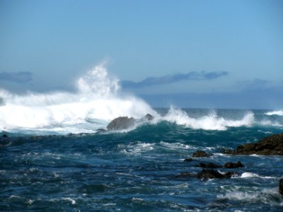
water
sea
travel
fish
fish
sea
historical
history
travel
fish
water
fish
underwater
ocean
travel
fish
landscape
water
cherokee
grass
water
fish
the atlantic islands as resorts of health and pleasure (1878)
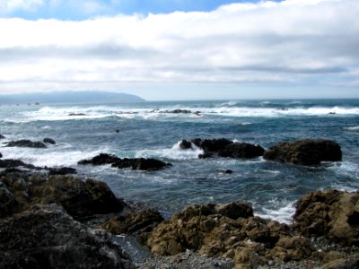
isles of shoals
grass
rural
the generall historie of virginia (john smith)
1624 books from london
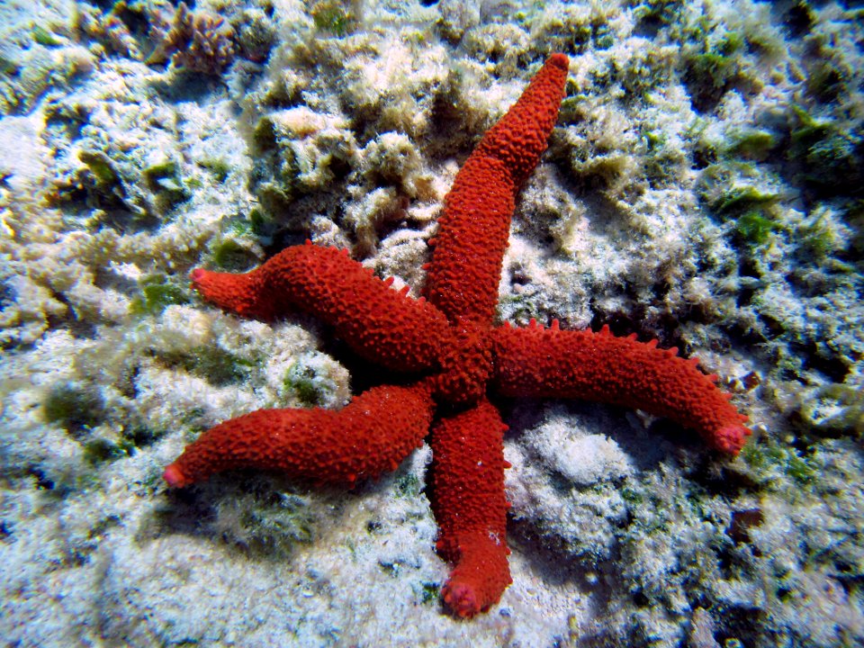
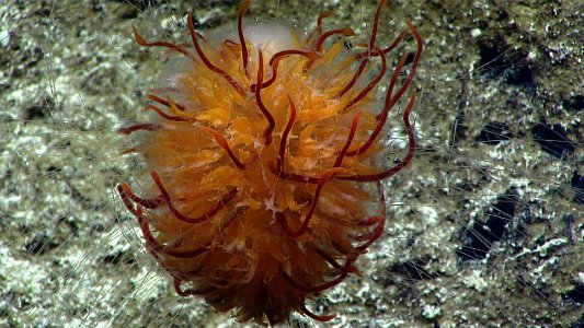
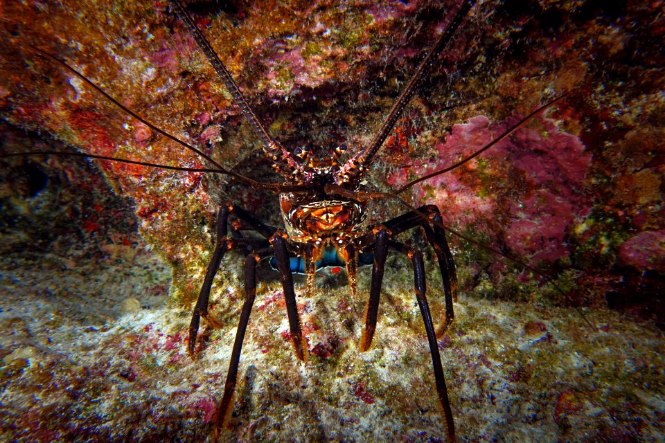
underwater
medical
architecture
rural
paintings by victor meirelles in the museu nacional de belas artes
cityscape paintings by victor meirelles
ocean
sea
landscape
sea
rock
sea
amaranthaceae
angiosperms
water
sea
1794 rocque wall map of ireland
county clare
auguste iii blanchard
louis-jules masselot
maps of rodrigues island
old maps of mauritius
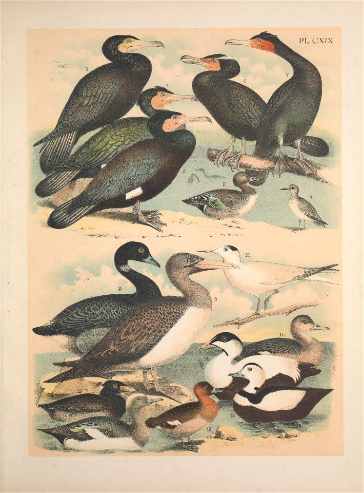
bird
duck
maps in the library of congress
old maps of new jersey
aquatic
school
maps by john cary
1806 maps of asia
animals
water
underwater
medical
medical
fish
salvatore lo bianco
comingio merculiano
maps in the library of congress
1763 maps of north america
historical
history
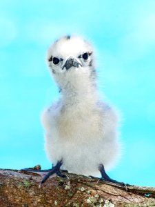
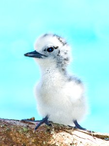
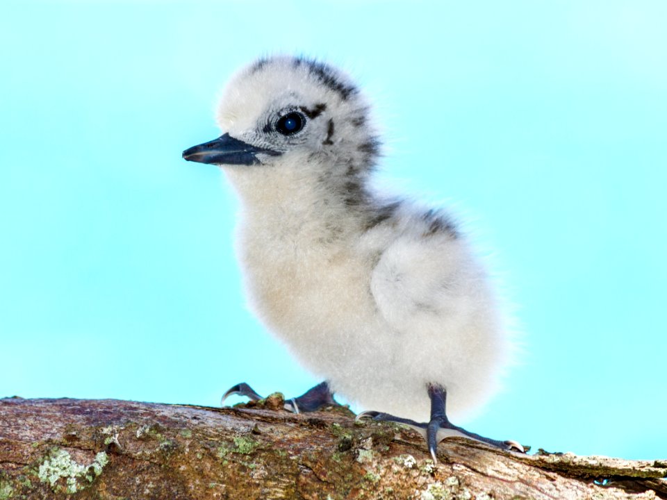
pacific
bird
underwater
ocean
underwater
sea
pacific
bird
animals
bird
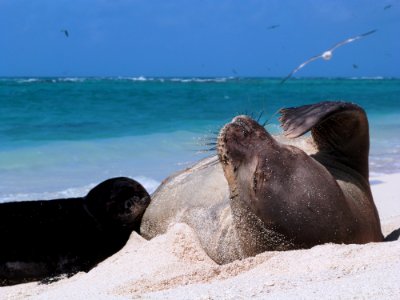
animals
sea
water
sea
animals
bird
travel
fish
historical
history
underwater
sea
animals
water
landscape
water
water
sea
water
tree
travel
water
historical
history
maps in the library of congress
1752 maps of north america
underwater
ocean
files from 115892967@n03 flickr stream
ashtabula harbor
a picturesque tour along the river ganges and jumna in india (1824)
british library asia, pacific and africa collections
smithsonian institution archives
john thurston
1690s maps of the caribbean
1690s maps of the americas
1747 maps of new hampshire
english-language maps
18th-century maps of the malay archipelago
18th-century maps of southeast asia
1779 maps of the united states
1770s maps of the caribbean
carte de moscovie by guillaume de l'isle (1706)
university of washington
australia
ocean
301 - 388 of 388
/ 4