Log in
All resources
Create a design
26 Free Artworks of Maps Of Holstein
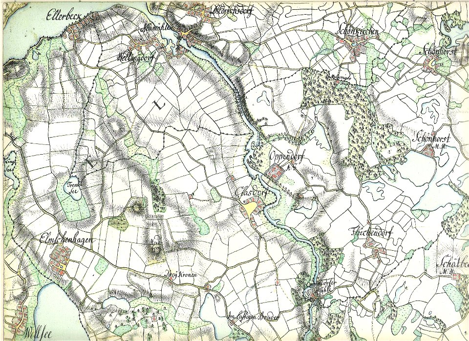
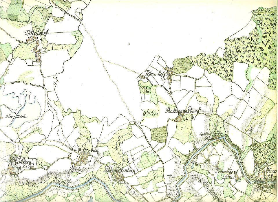
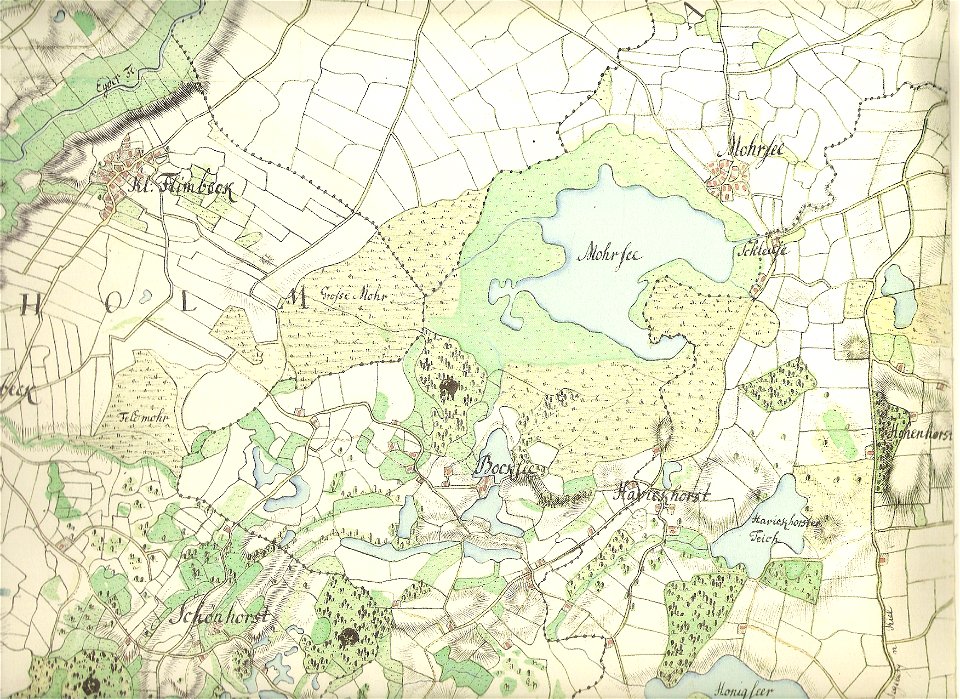
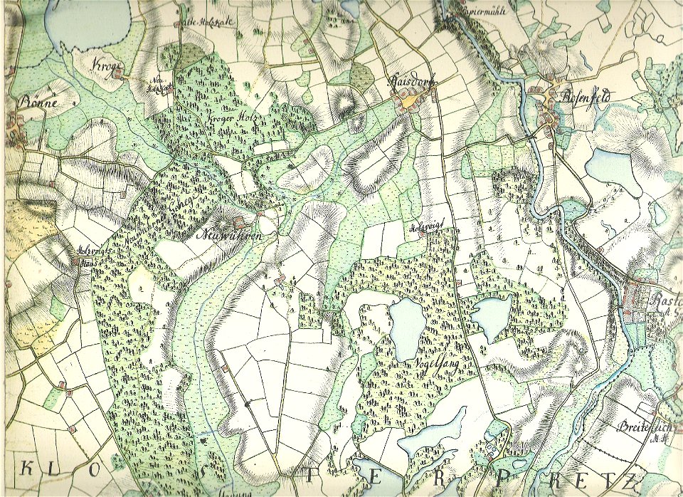
18th-century maps of schleswig-holstein
maps by gustav adolf von varendorf
old maps of kiel
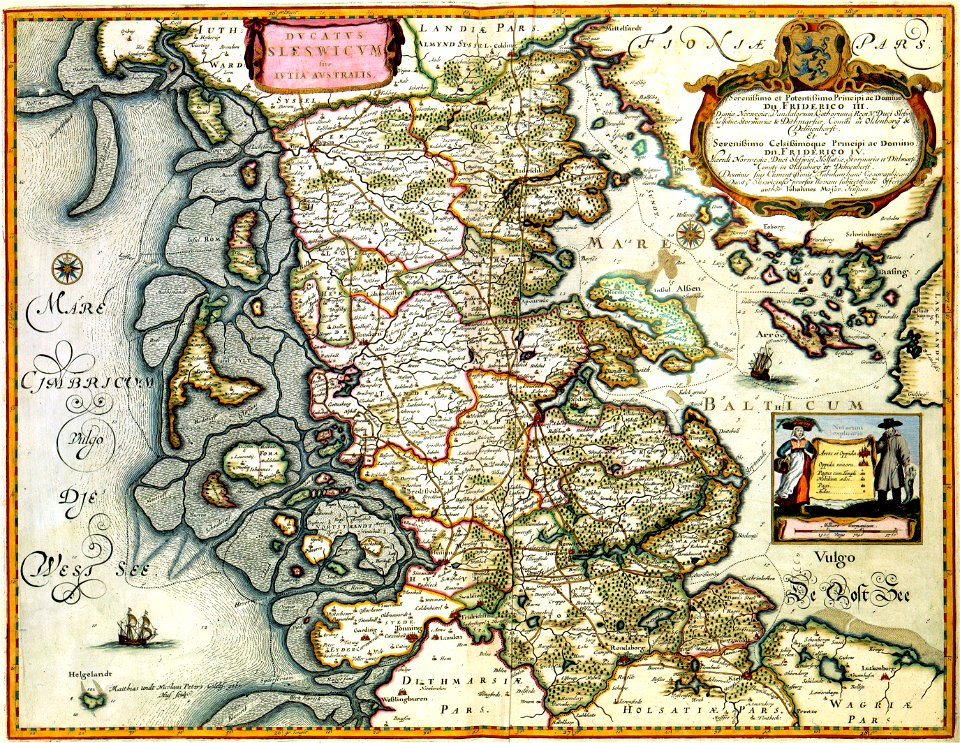
17th-century maps of schleswig-holstein
atlantis magni tomus primus (biblioteca comunale di trento)
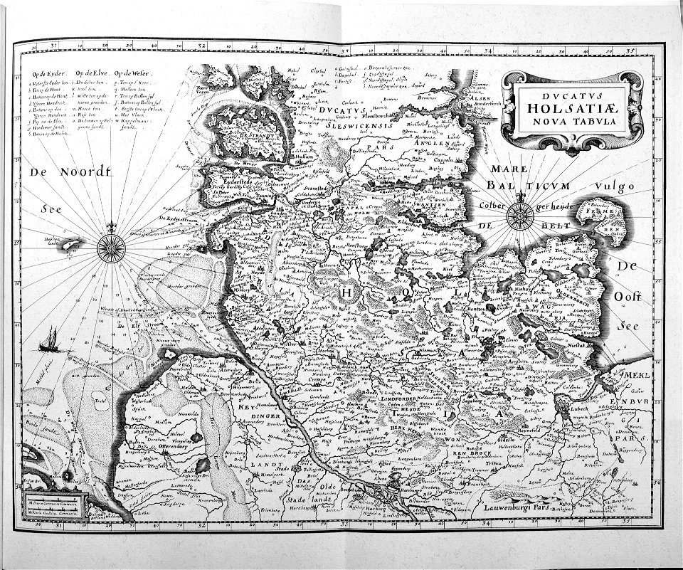
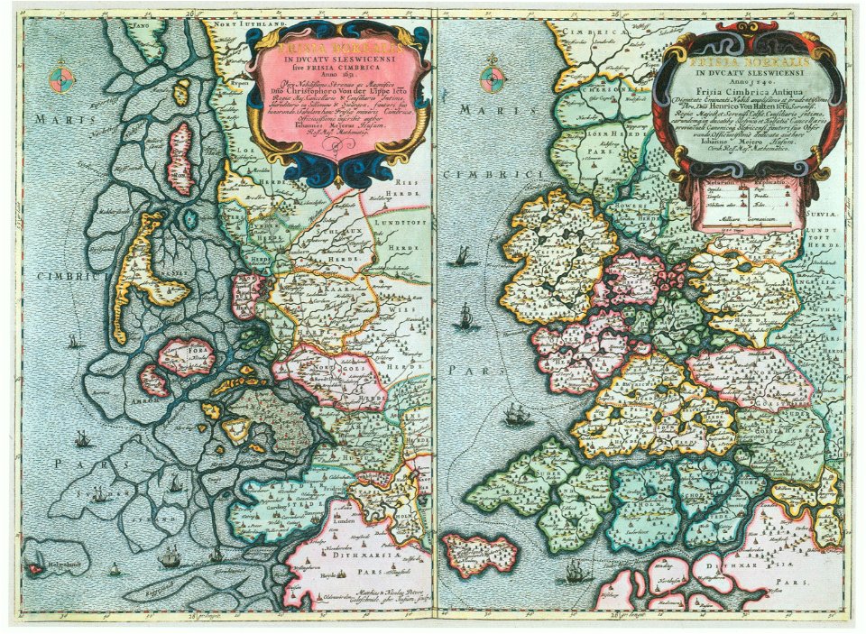
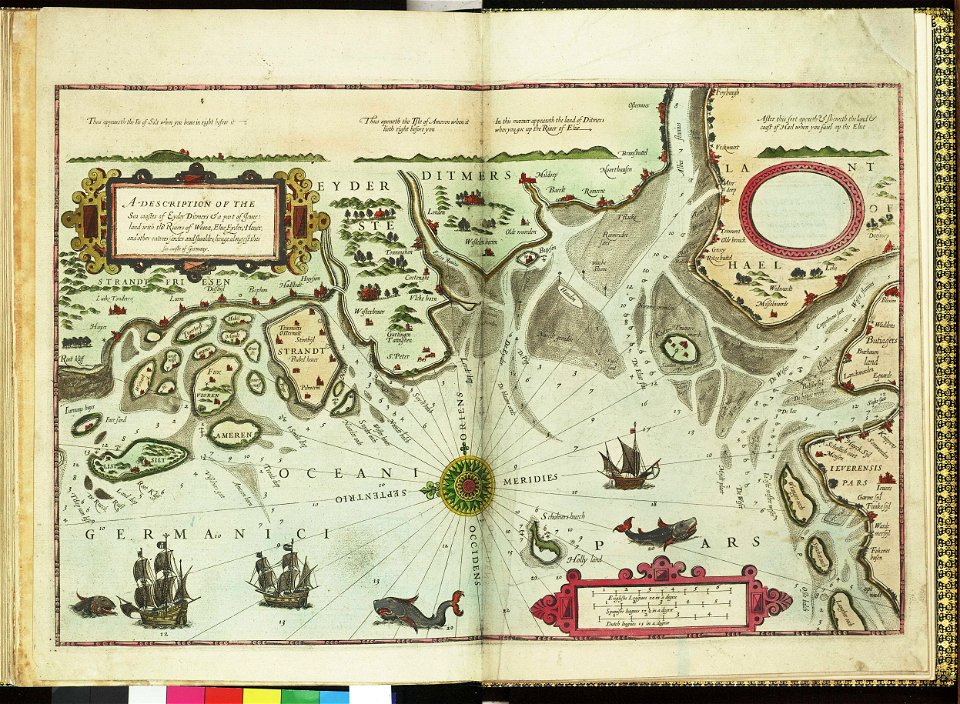
maps by johannes mejer
maps of schleswig-holstein in the atlas maior
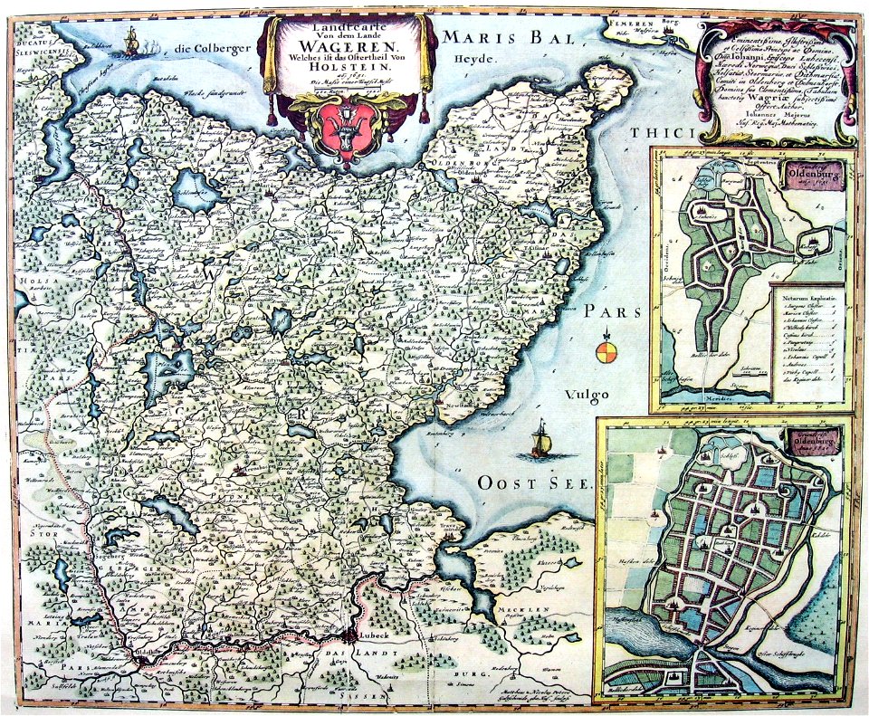
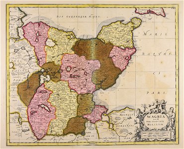
wagriae
history of kreis ostholstein
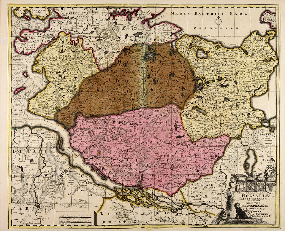
maps by pieter schenk (i)
engravings of topographia saxoniae inferioris
maps of hamburg-langenhorn
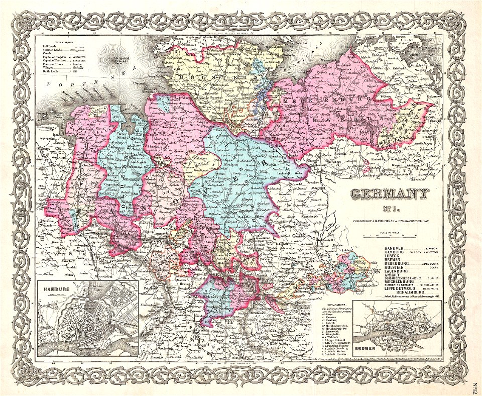
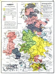
19th-century maps of lower saxony
old maps of mecklenburg
maps of schleswig-holstein in the atlas maior
maps by johannes mejer
maps by willem and johannes blaeu
kreis plön
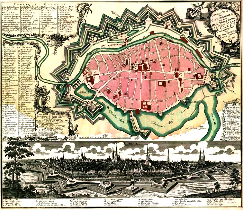
maps by matthäus seutter
lübeck-altstadt
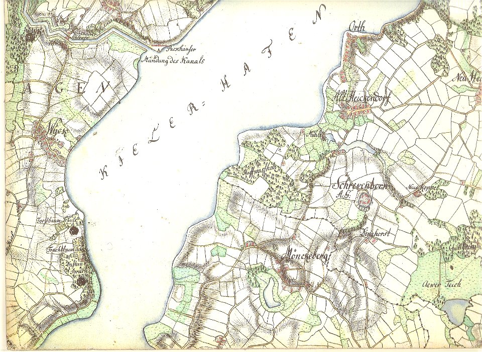
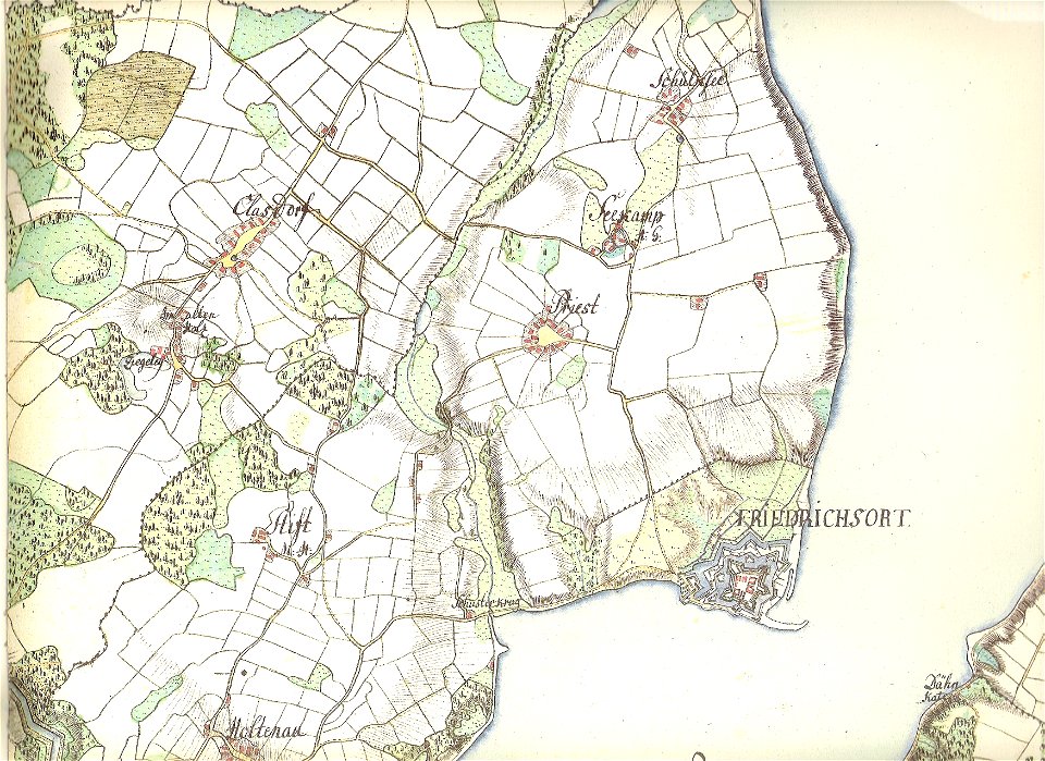
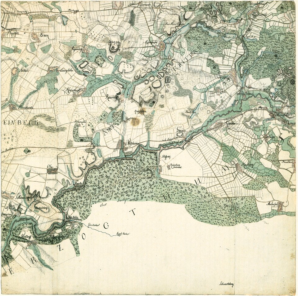
18th-century maps of schleswig-holstein
maps by gustav adolf von varendorf
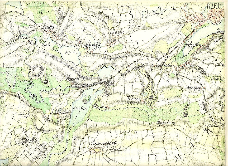
18th-century maps of schleswig-holstein
maps by gustav adolf von varendorf
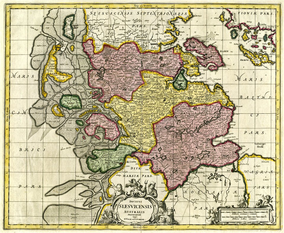
17th-century maps of schleswig-holstein
gerard valck
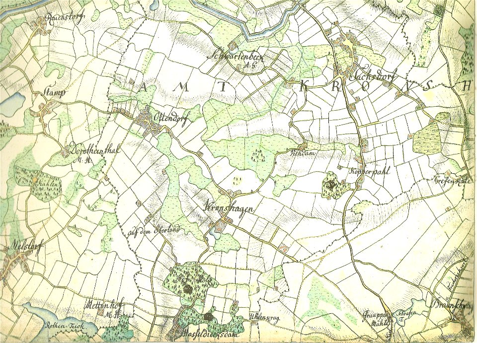
18th-century maps of schleswig-holstein
maps by gustav adolf von varendorf
18th-century maps of schleswig-holstein
maps by gustav adolf von varendorf
18th-century maps of schleswig-holstein
maps by gustav adolf von varendorf
17th-century maps of schleswig-holstein
tönning
18th-century maps of schleswig-holstein
maps by gustav adolf von varendorf
18th-century maps of schleswig-holstein
maps by gustav adolf von varendorf
18th-century maps of schleswig-holstein
maps by gustav adolf von varendorf
maps by johannes mejer
kreis nordfriesland
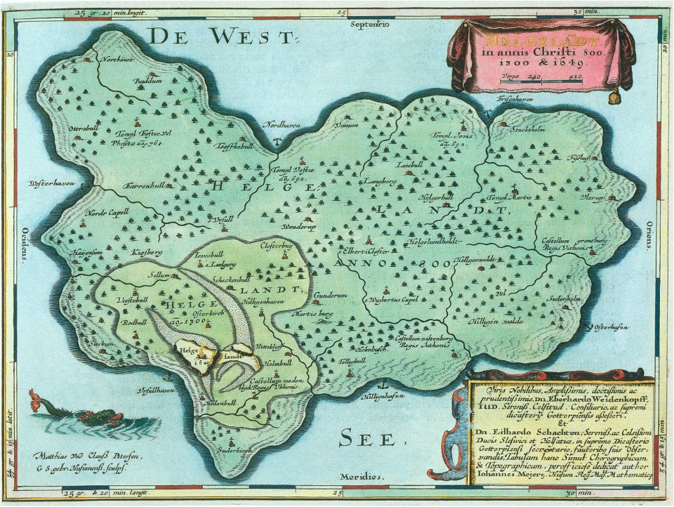
helgeladt in annis christi 800
1300 & 1649
18th-century maps of schleswig-holstein
maps by pieter schenk (i)
atlantis magni tomus primus (biblioteca comunale di trento)
17th-century maps of schleswig-holstein
atlantis magni tomus primus (biblioteca comunale di trento)
17th-century maps of schleswig-holstein
grand
bill
maps with cartouches
atlas van der hagen
atlantis magni tomus primus (biblioteca comunale di trento)
maps made in the 17th century
maps from the mechanical curator collection
1869 maps
german bight
1588 maps
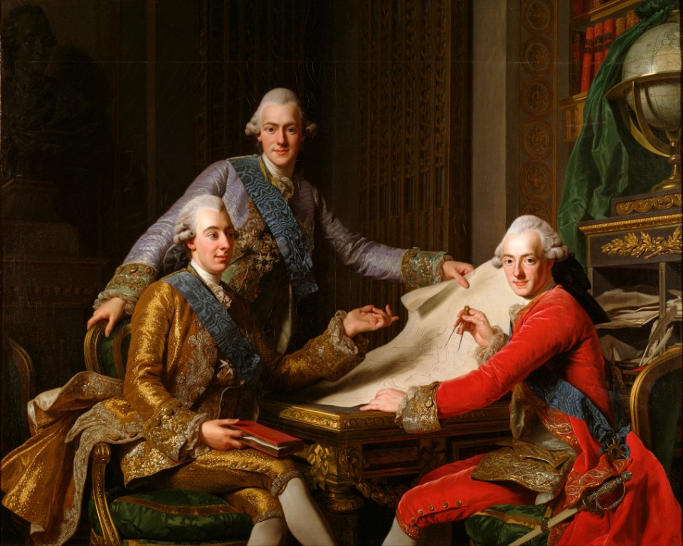
gustav iii
male
1 - 26 of 26
/ 1