Log in
All resources
Create a design
24 Free Artworks of Maps Of The Danube
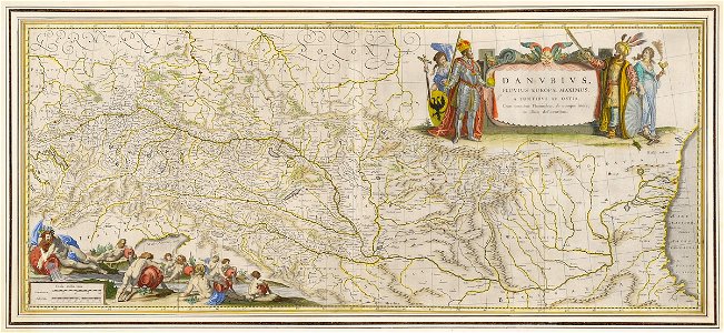
old maps of the danube
16th-century maps of hungary
atlantis magni tomus tertius (biblioteca comunale di trento)
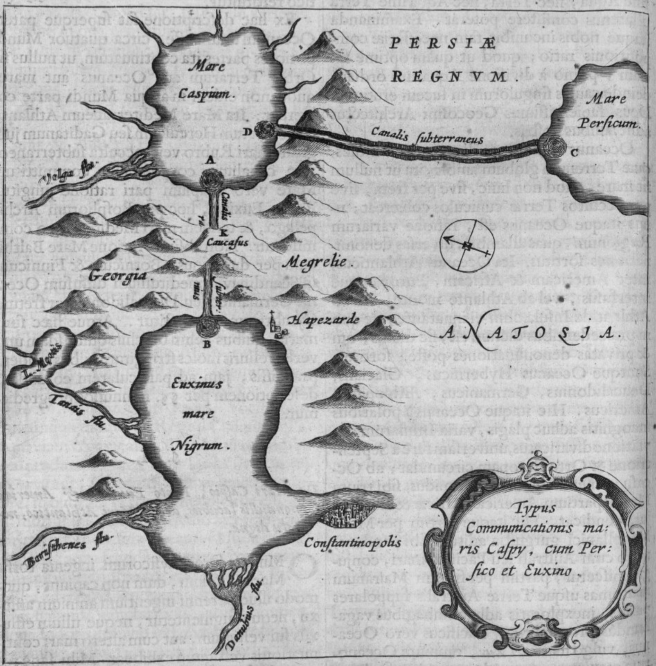
historical images of danube
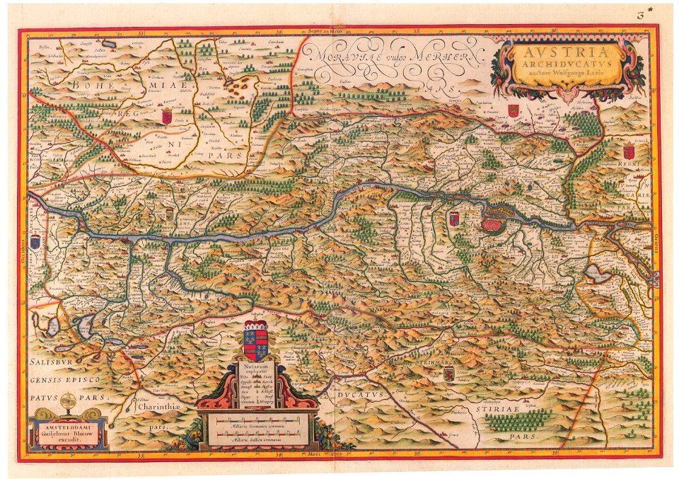
maps by wolfgang lazius
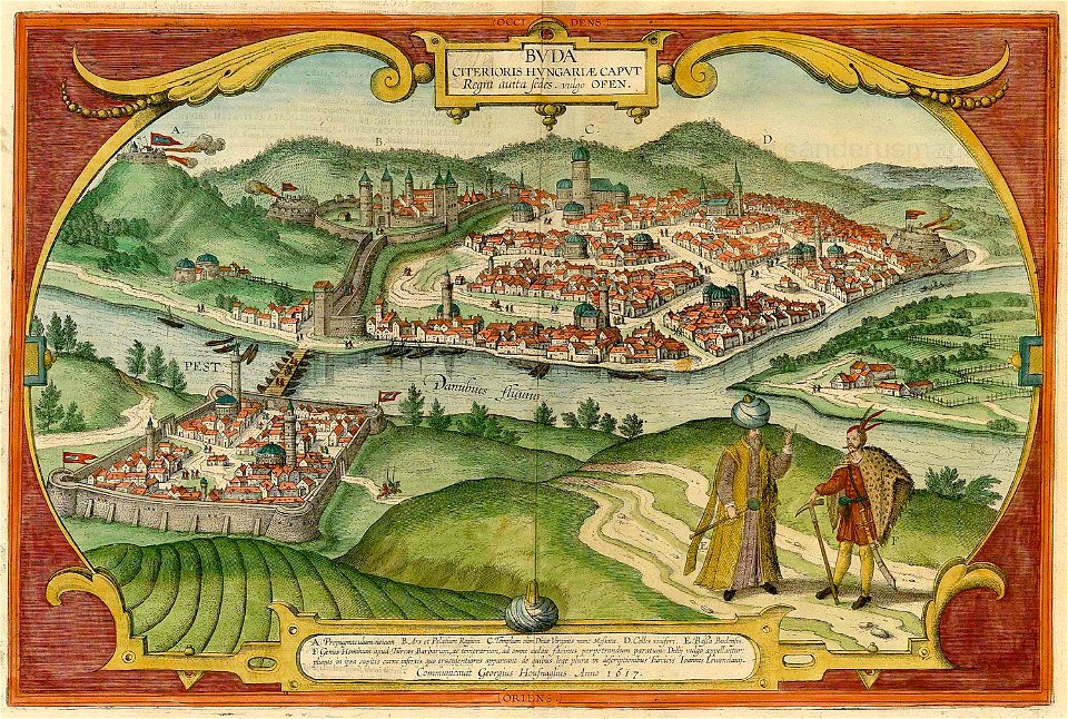
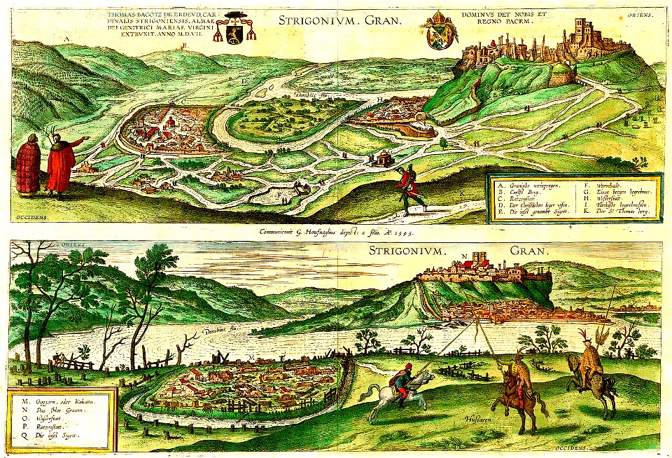
maps and topographical views by joris hoefnagel
old maps of slovakia
maps made in the 17th century
cartography
engraving
charte von schwaben (bohnenberger)
old maps of the danube
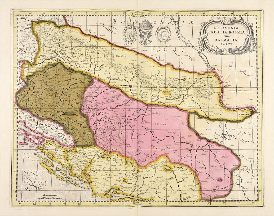
maps by willem and johannes blaeu
old maps of the danube
old maps of the danube
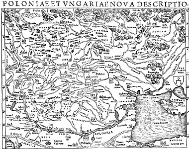
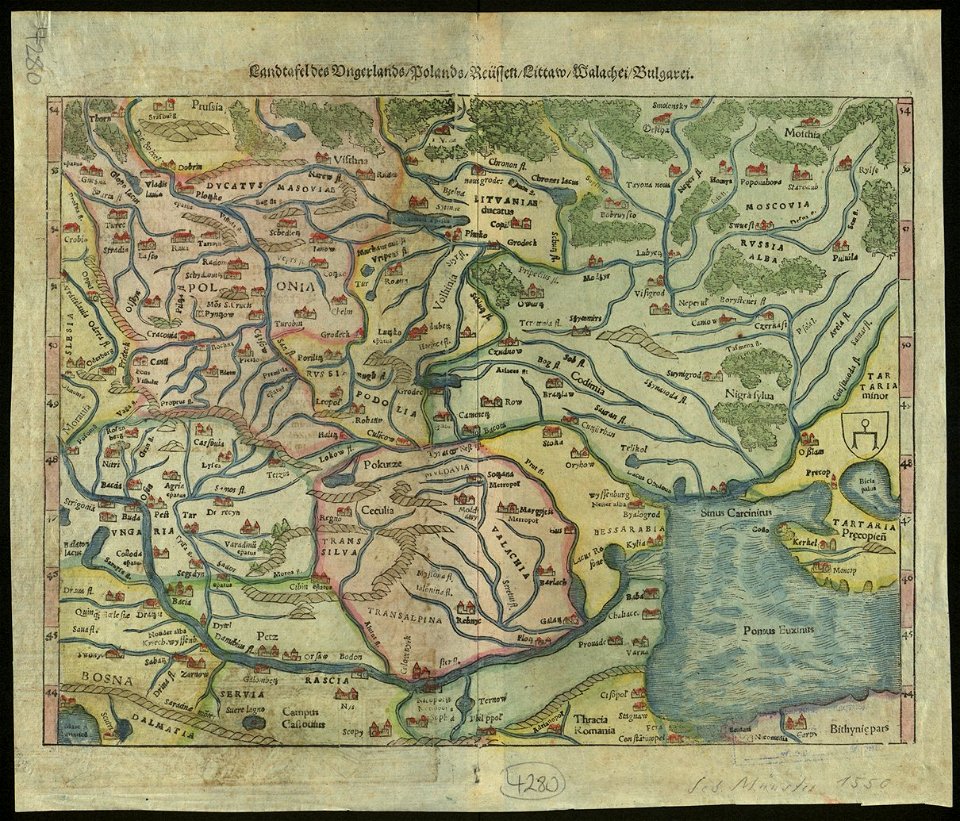
1552 maps
maps and topographical views by joris hoefnagel
károly cserna
old maps of the danube
old maps of bohemia
atlante veneto (raremaps.com) volume 1
old maps of the danube
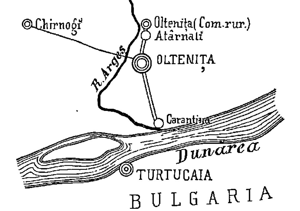
quarantine facilities in romania
1895 in romania
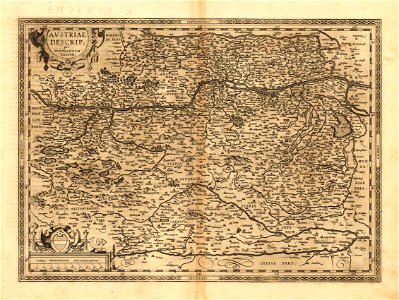
old maps of upper austria
old maps of styria
charte von schwaben (bohnenberger)
maps of landkreis sigmaringen
maps made in the 18th century
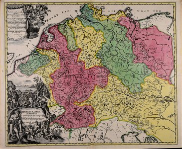
johann baptist homann
maps made in the 18th century
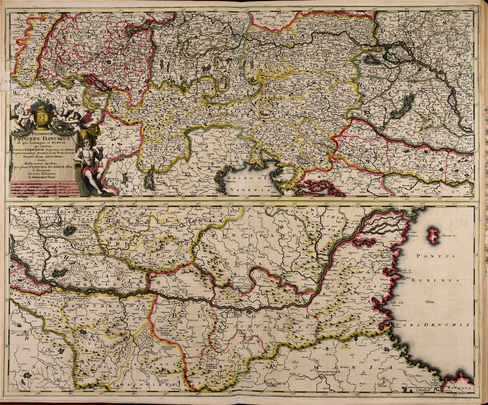
gerard valck
maps made in the 17th century
maps by nicolaes visscher i
maps made in the 17th century
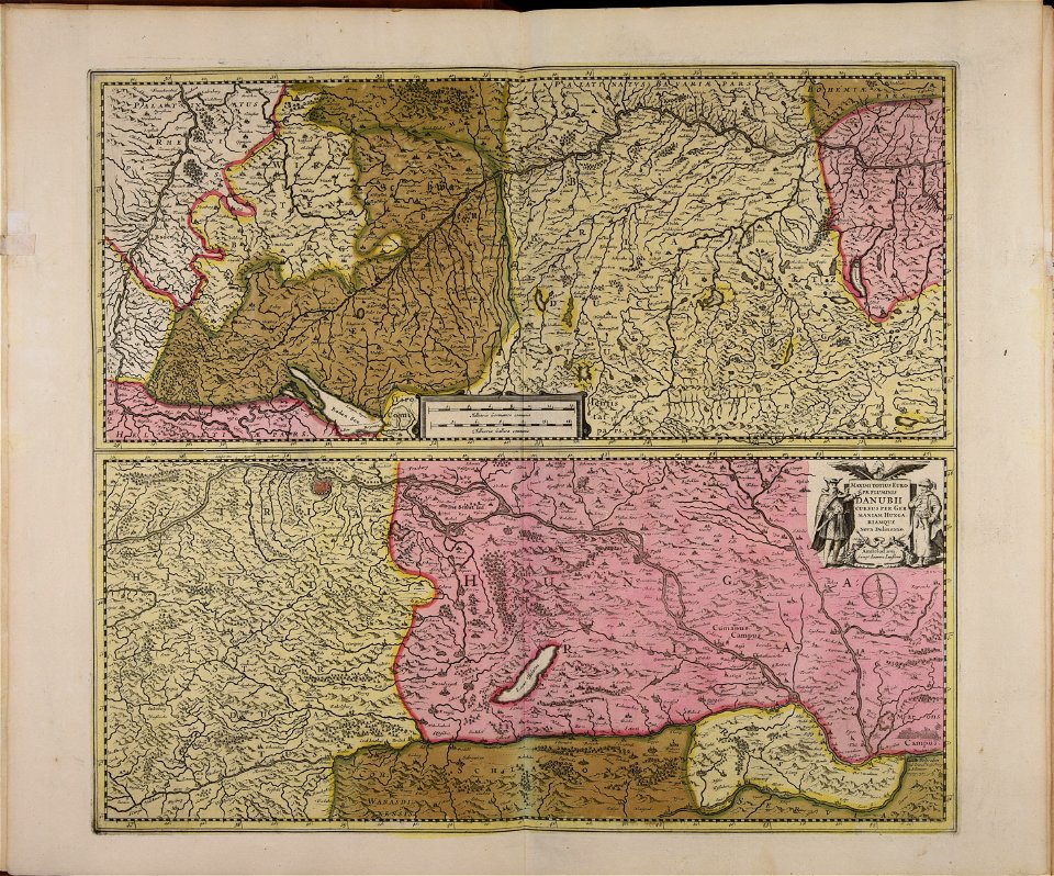
maps by johannes janssonius
buda castle in art
buda castle
old maps of bosnia and herzegovina
gerard valck
old maps of the danube
french-language maps
old maps of greece
old maps of turkey
rohatyn
halych
maps by sebastian münster
old maps of slovakia
history of hungary (1526–1700)
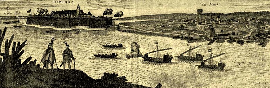
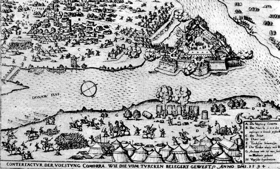
historical images of komárno
maps and topographical views by joris hoefnagel
hajduks
cartography
maps
cartography
maps
cartography
maps
1 - 24 of 24
/ 1