Đăng nhập
Tất cả tài nguyên
Tạo thiết kế
Tools
14.020 Ảnh miễn phí cho Massachusetts
hoa kỳ
cây
rừng
gỗ
nước
boston
lá
thị trấn
xanh dương
bầu trời
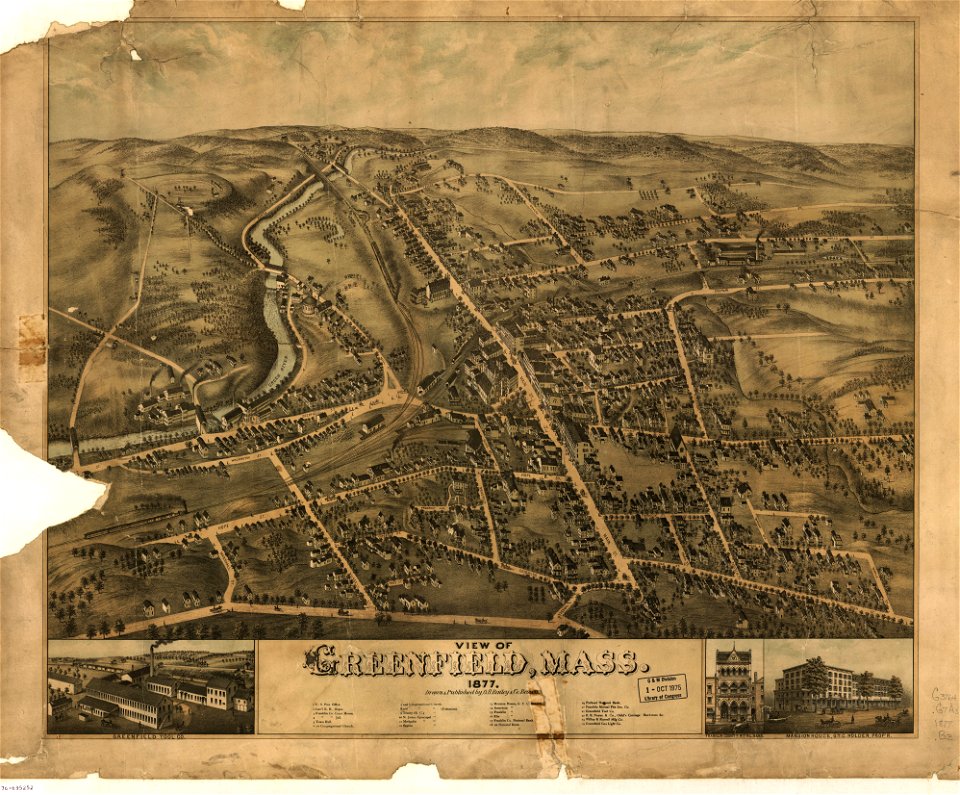
massachusetts
massachusetts
massachusetts
massachusetts
massachusetts
massachusetts
massachusetts
massachusetts
massachusetts
massachusetts
massachusetts
massachusetts
massachusetts
massachusetts
massachusetts
massachusetts
massachusetts
massachusetts
massachusetts
xanh dương
mùa hạ
thuyền máy
nước
kiến trúc
du lịch
massachusetts
phong cảnh
tòa nhà
massachusetts
cuộc cách mạng mỹ
massachusetts
massachusetts
hoa kỳ
nút
rừng
cây
nước
cây
massachusetts
massachusetts
massachusetts
massachusetts
massachusetts
thượng nghị viện
massachusetts
tình yêu
cây
cây
mây
động vật
cỏ
massachusetts
massachusetts
massachusetts
đường chân trời
tòa nhà
chính trị
đường đi bộ
hoa kỳ
rừng
cây
massachusetts
massachusetts
loài hoang dã
hoa kỳ
hoa kỳ
lễ hội
thực phẩm
tự nhiên
massachusetts
massachusetts
nước
massachusetts
nhóm
massachusetts
tự nhiên
cây
rừng
cây
massachusetts
massachusetts
massachusetts
massachusetts
massachusetts
massachusetts
thành phố
mùa đông
massachusetts
massachusetts
massachusetts
massachusetts
massachusetts
massachusetts
massachusetts
301 - 400 của 14.020
Trang tiếp theo
/ 141