Влезте
Всички ресурси
Създаване на дизайн
1854 Свободни изкуства за Engraved Maps
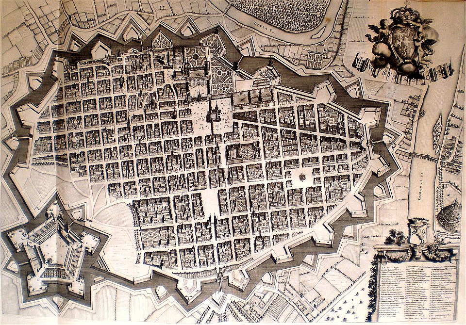
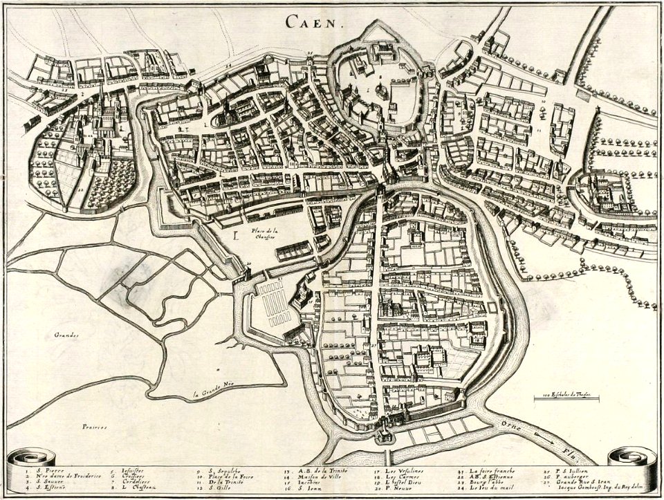
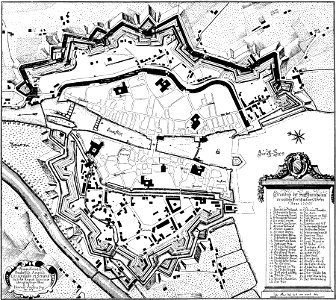
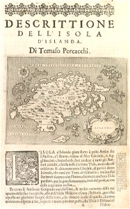
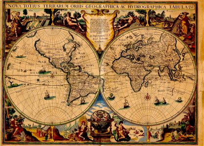
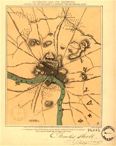
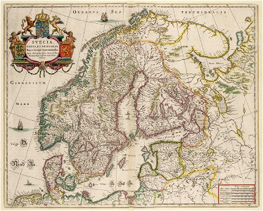
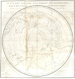
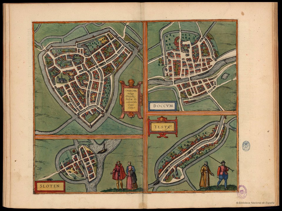
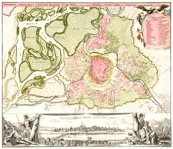
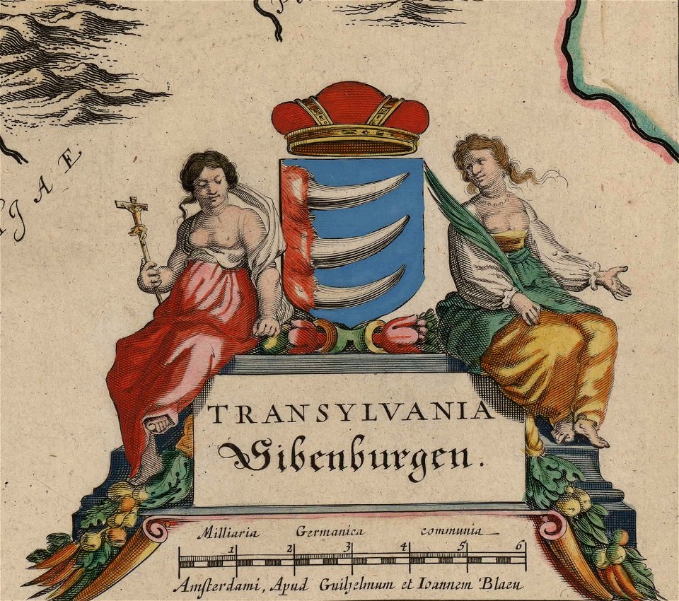
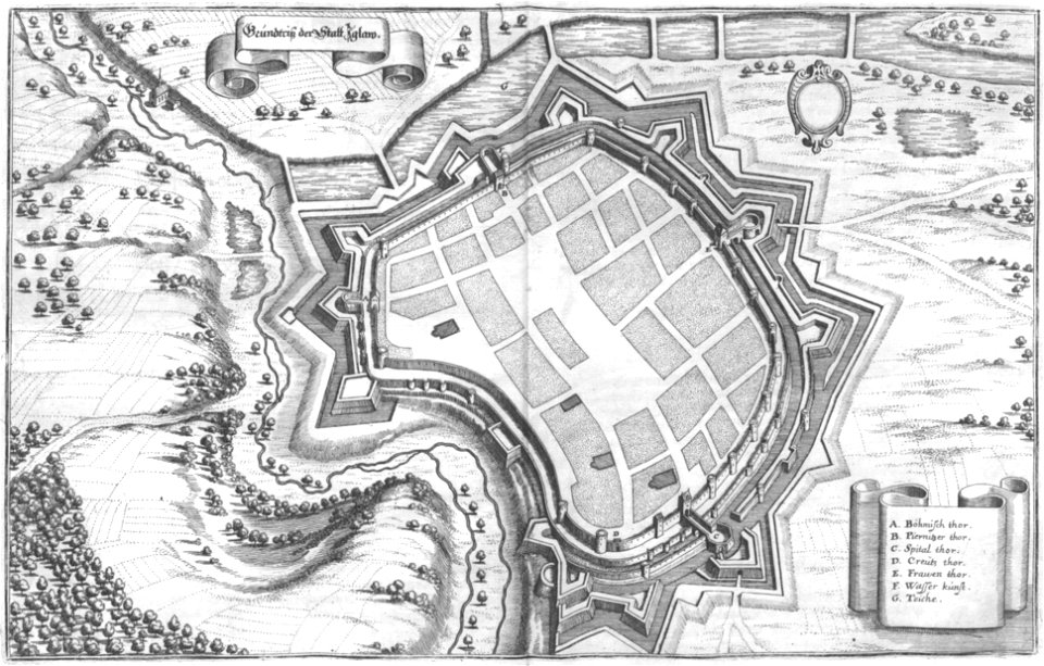
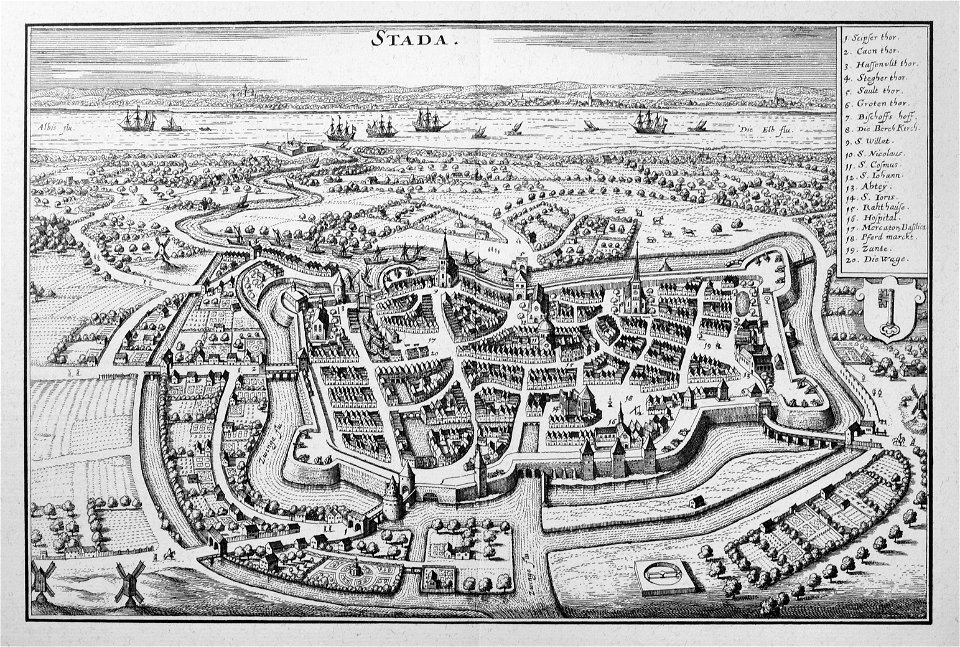
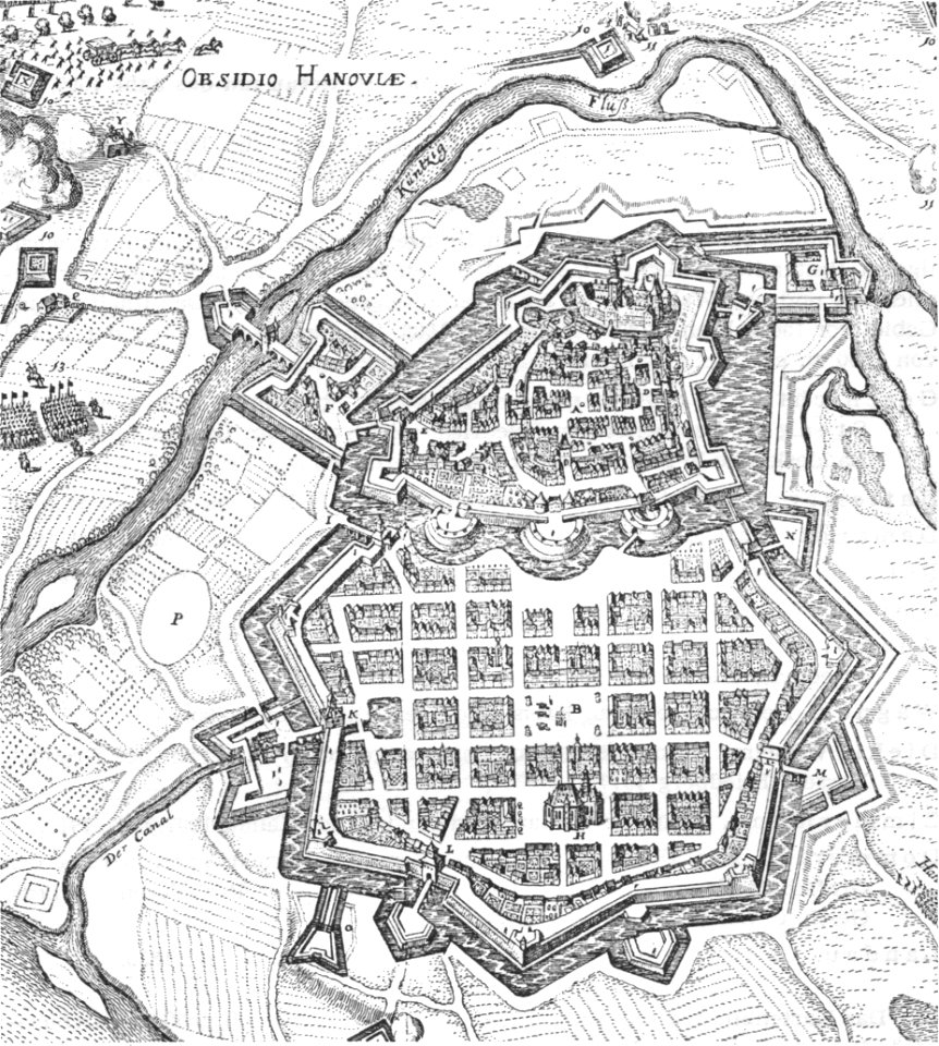
карти
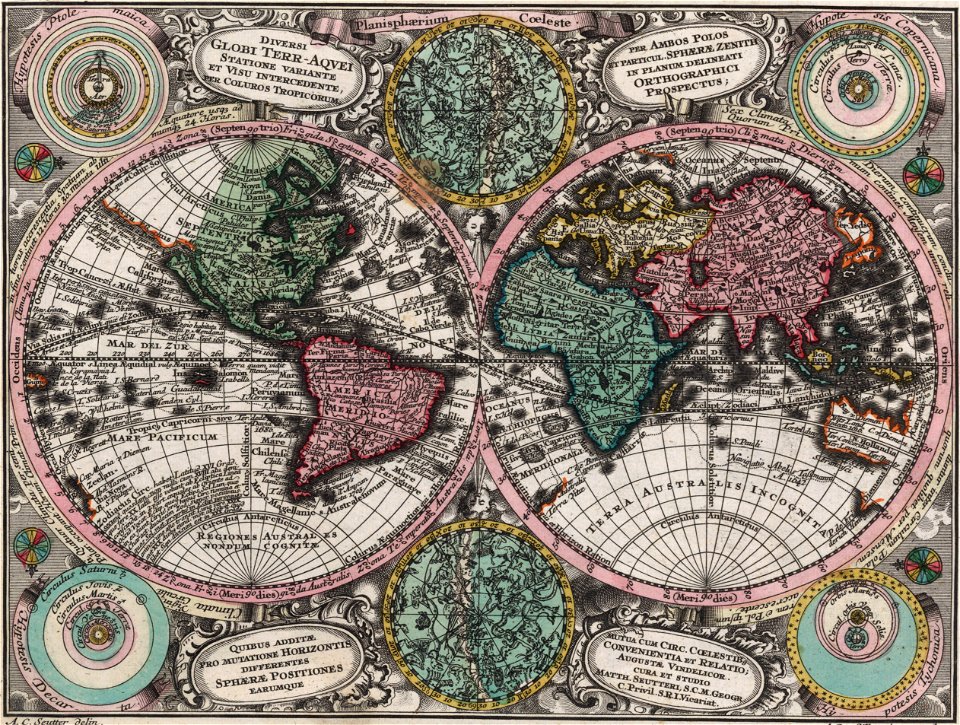
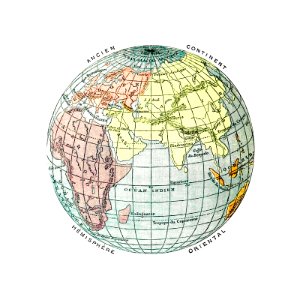
карта на света
земя
глобус
свят
пътуване
викториански
мисисипи
атлас
пътуване
карти
мисисипи
мисисипи
постер
карти
карти
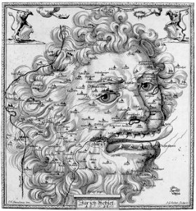
символ
карти
карти
земя
илюстрация
карти
калифорния
пътуване
карти
1 - 100 z celkového počtu 1854
Следваща страница
/ 19