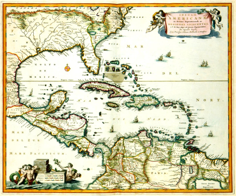
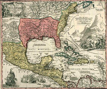
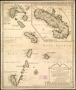
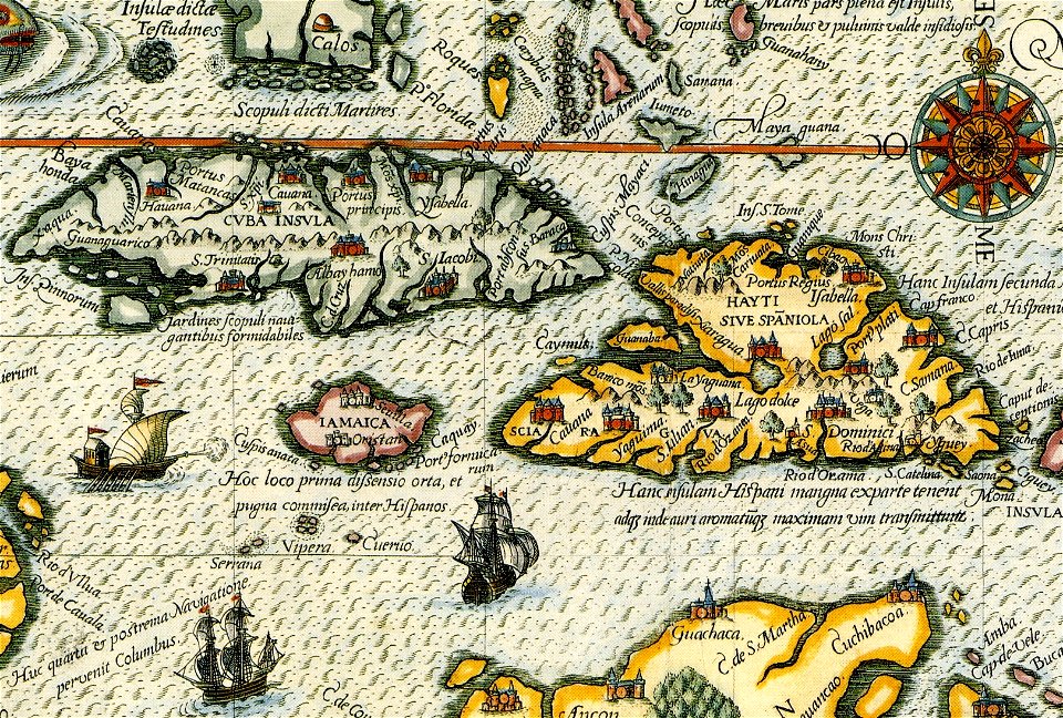
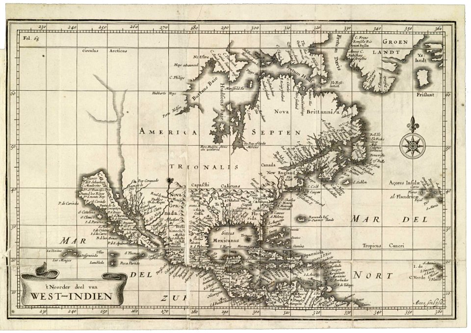
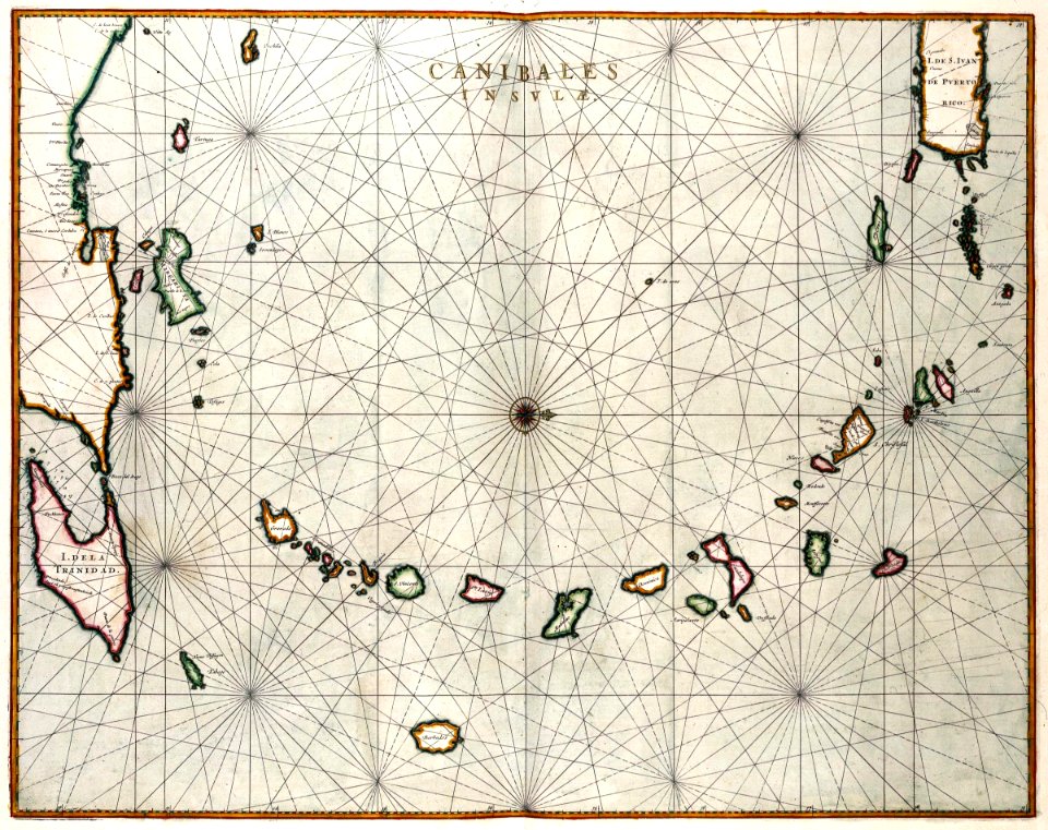
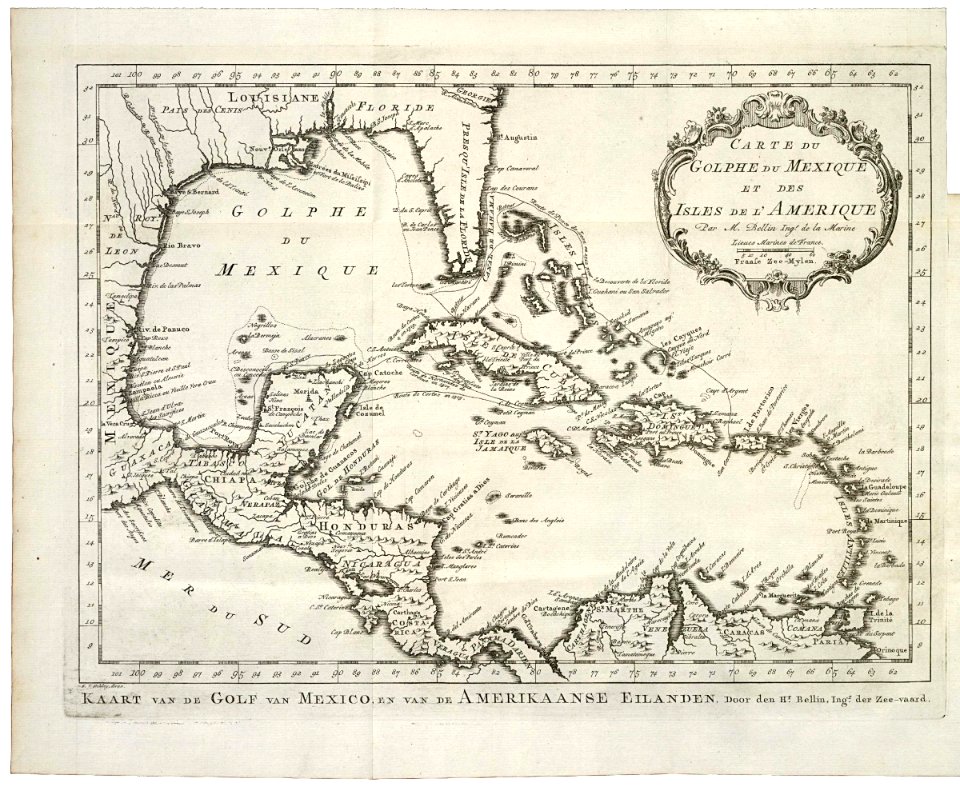
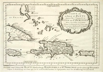
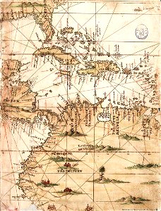
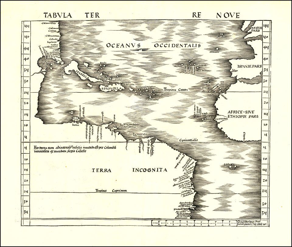
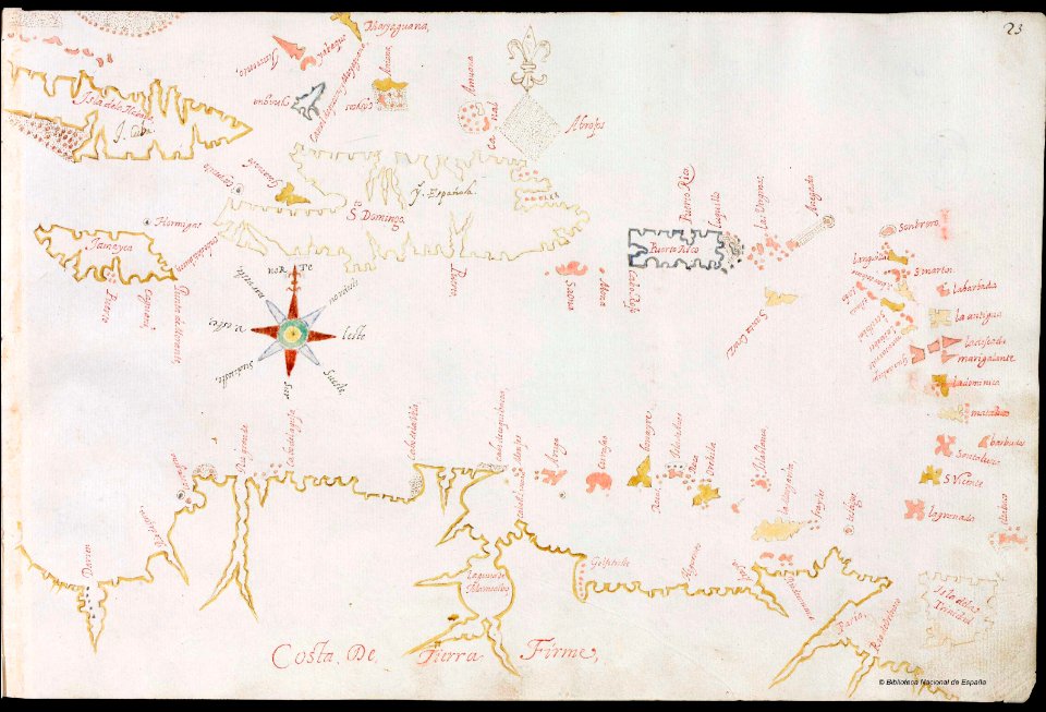
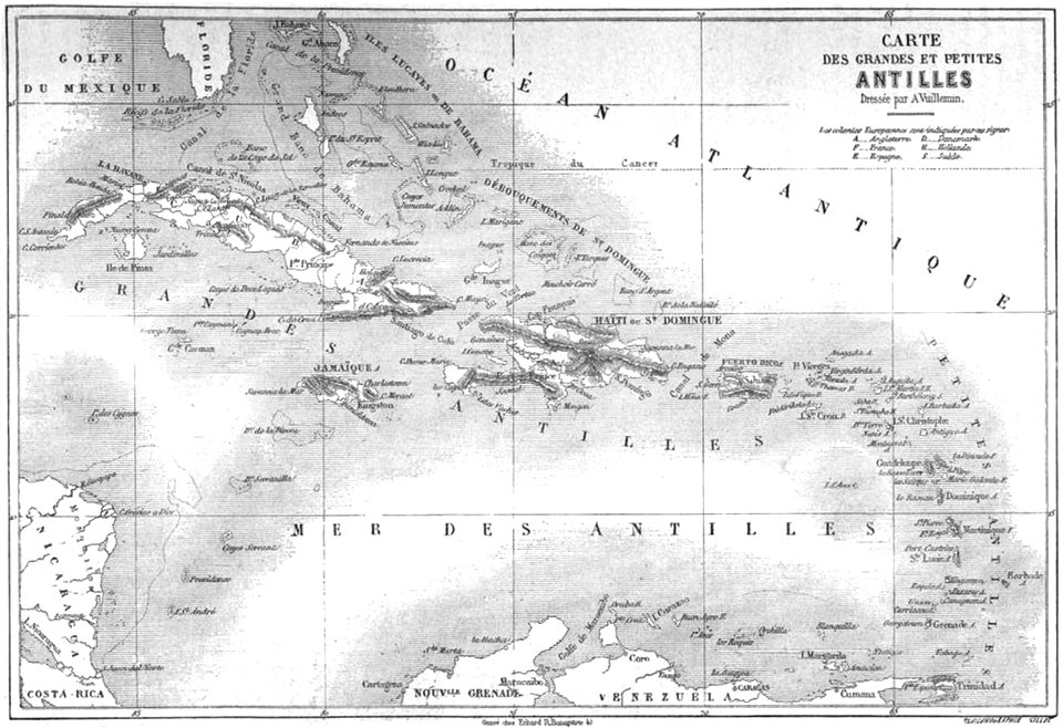
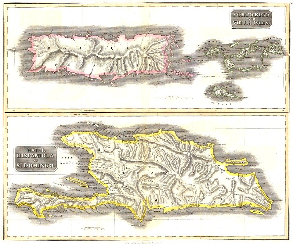
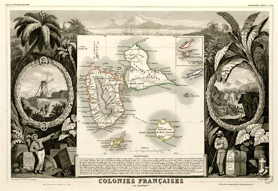
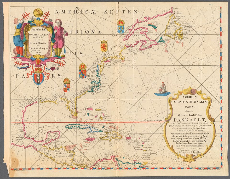
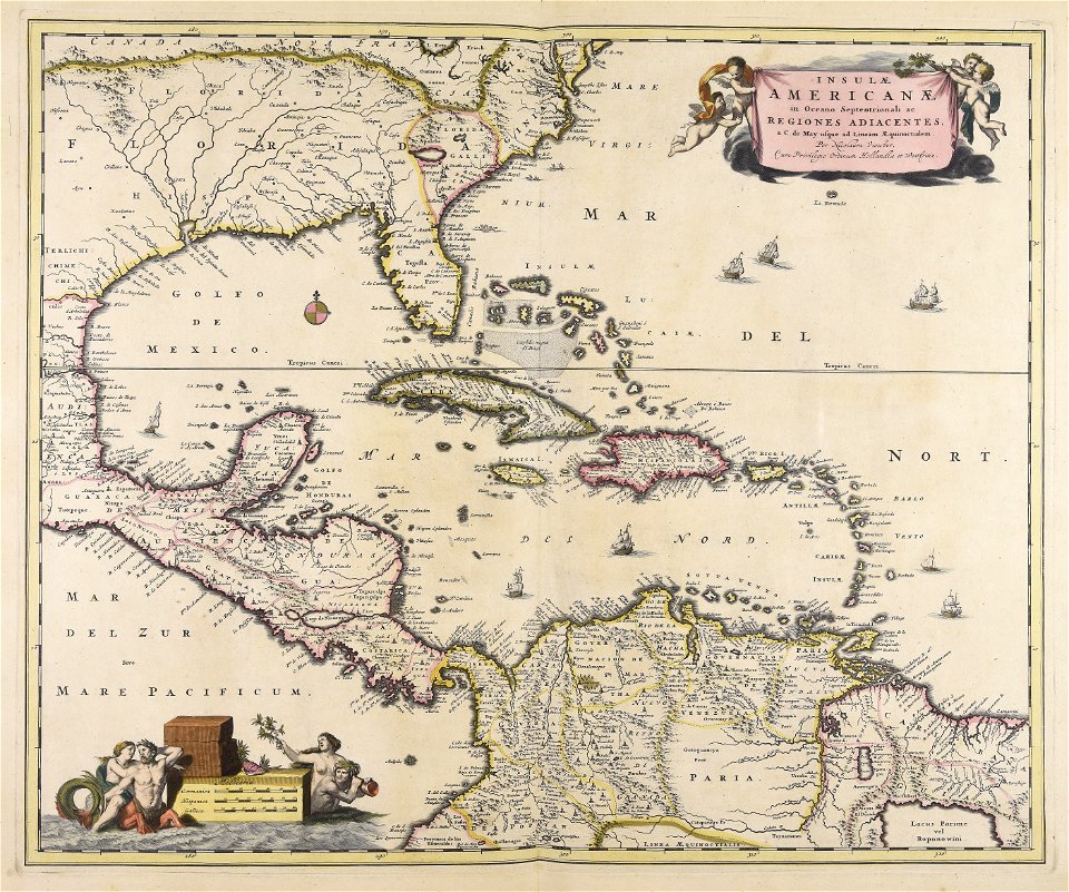
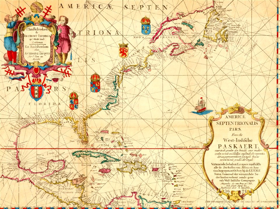
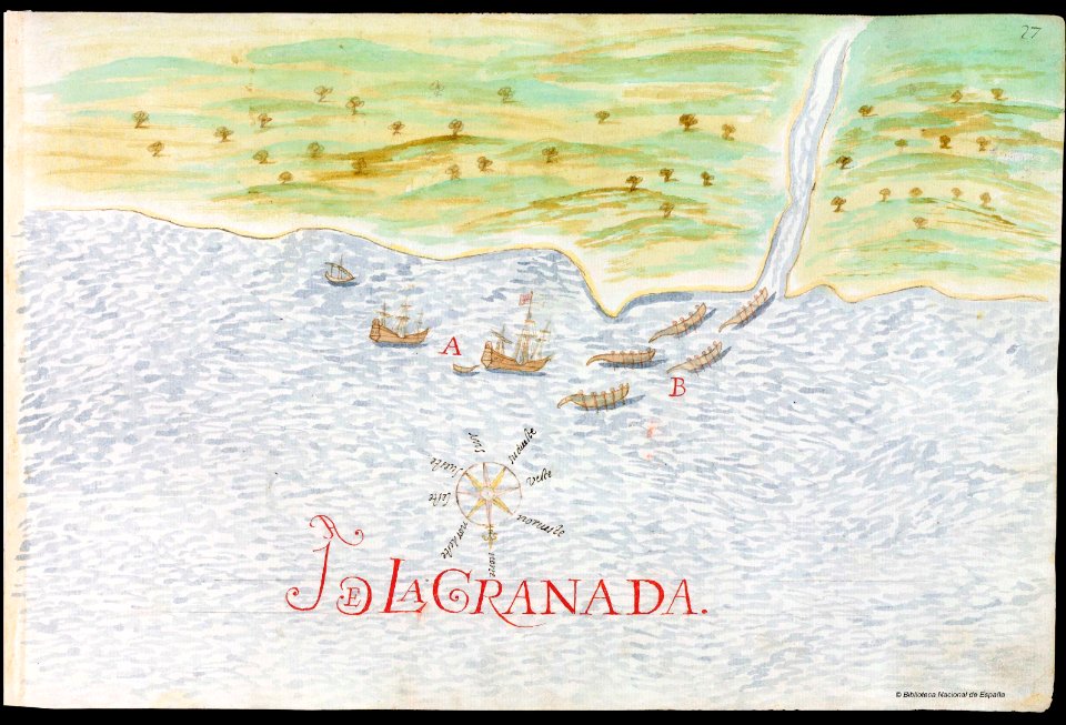
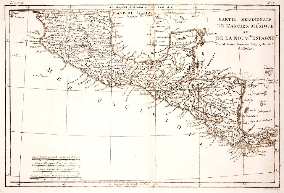
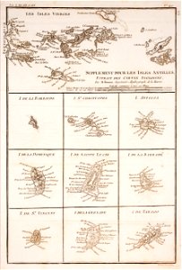
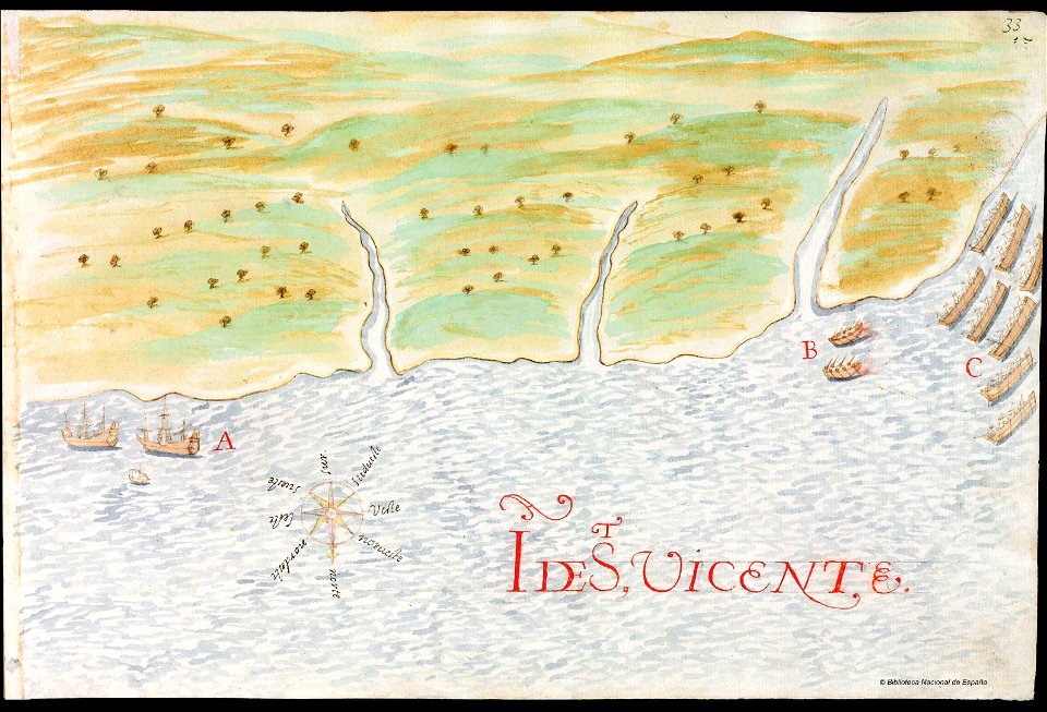
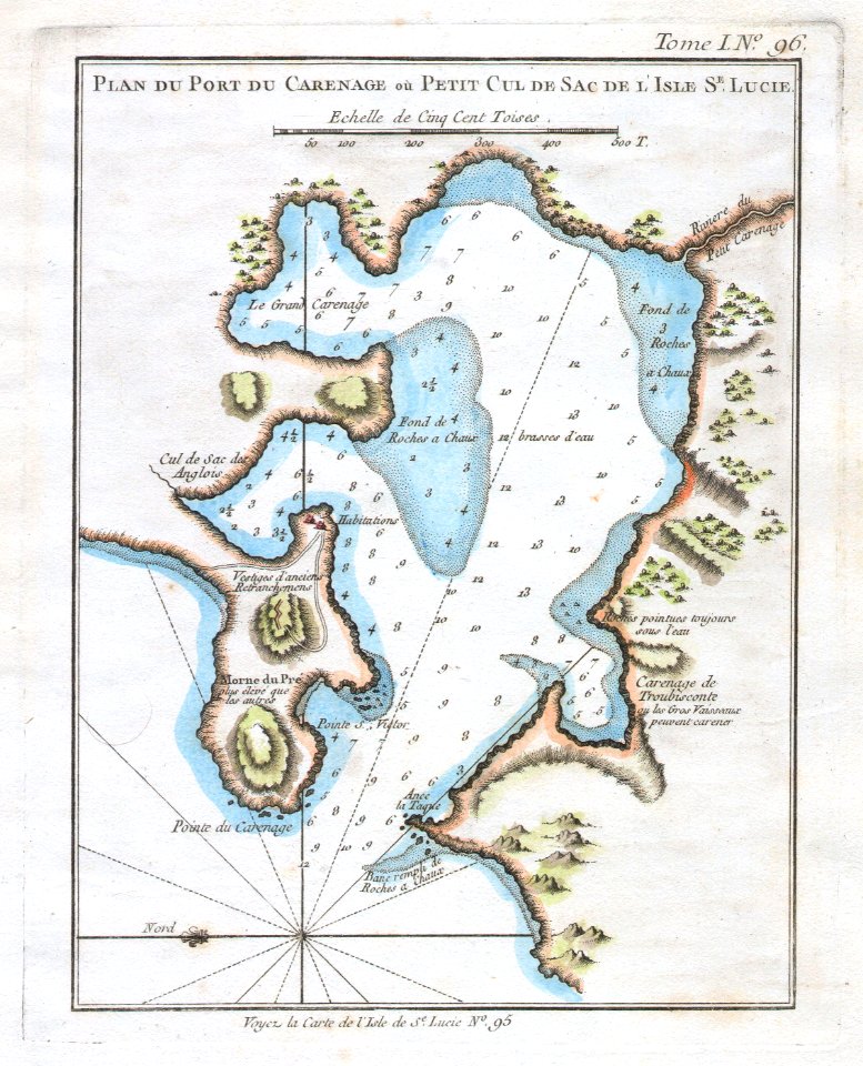
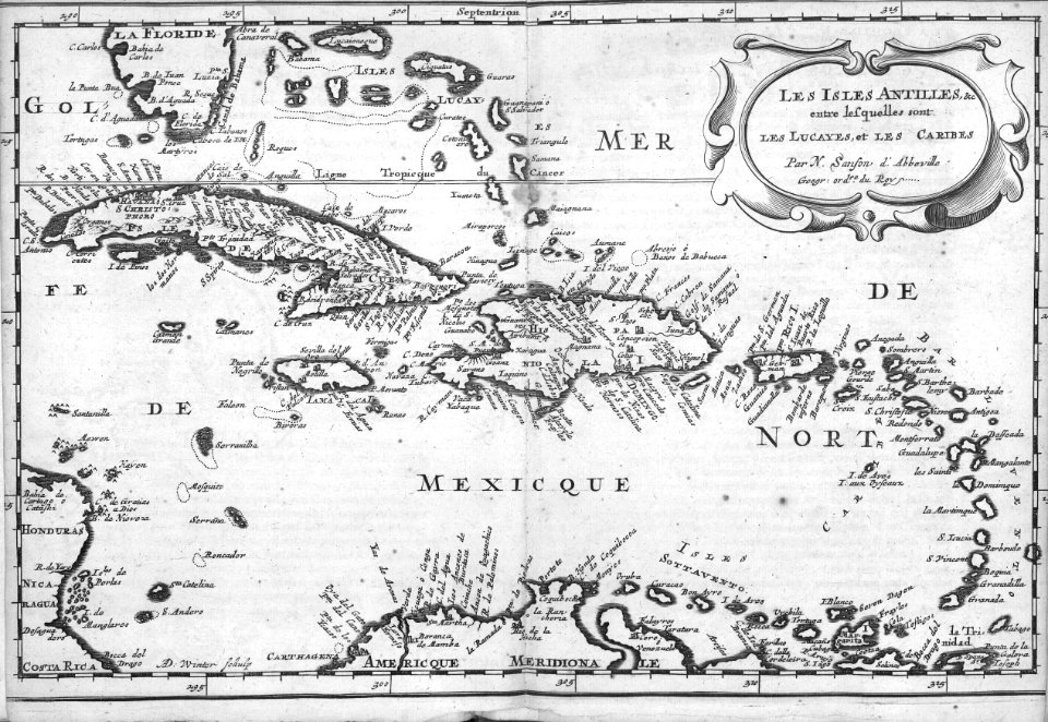
52 Свободни изкуства за Maps Of The Caribbean

Map of the Caribbean Area
Waldseemuller map Caribbean
Pietro Martire d'Anghiera Map of the Caribbean 1511 JCB
AMH-7920-KB Map of the Caribbean
Nautical chart of the West Indies 1797
AMH-6725-KB Map of the Caribbean region
AMH-6680-KB Map of the Caribbean
1855 Colton Map of the West Indies - Geographicus - WestIndies-colton-1855
Caribbean and coasts of America RMG F1755
Peter Martyr Map
AMH-7755-KB Map of Central American and the Caribbean region
Theodor De Bry - Central America 1594
AMH-8115-KB Map of the Caribbean region
Map of a part of the island of Cuba and of the Bahamas. LOC 00560610
1814 Thomson Map of the West Indies ^ Central America - Geographicus - WestIndies-t-1814
Mapa Caribe 1720
Tabula novissima atque accuratissima Caraibicarum insularum sive Cannibalum, quae etiam Antillae Gallicae dicuntur, item insulae Supraventum, et in Archipelago Mexicano sitae sunt, ac detectae a (4584053590)
DeBry Map of Caribbean & Florida1594
UB Utrecht - Pieter Mortier - 1727 - Archipelague du Mexique
1747 Ruyter Map of Florida, Mexico and the West Indies - Geographicus - PortoBello-ratelband-1747
A map of the English, French, Spanish, Dutch, and Danish Islands, in the West Indies, taken from an improved map of the geographer to the King of France, with the tract of the last West India Fleet, (4587172518)
AMH-7919-KB Map of North America and the Caribbean
AMH-6798-NA Bird's eye view of the bay and the fort of Nieuw Vlissingen on Tobago
AMH-7921-KB Map of North America and the Caribbean
AMH-7753-KB Map of the minor Antilles
AMH-8039-KB Map of the Gulf of Mexico
Bodleian Libraries, Cvlivcanae Americae Hispaniolae Cvbae
AMH-8040-KB Map of Haiti and surrounding islands
Mapa del Caribe y América Central (Siglo XVI)
1513 Admiral's Map by Martin Waldseemüller
1632 Cardona Descripcion Indias (23)
Le Tour du monde-02-p051
Map of a part of the island of Cuba and of the Bahamas. LOC 00560610
Historisch Nordamerika
A map of the British Empire in America with the French and Spanish settlements adjacent thereto LOC 2009582407-2
A new & accurate map of the island of Cuba. A new & accurate map of the islands of Hispaniola or St. Domingo and Porto Rico. LOC 74693277
1815 Thomson Map of Porto Rico, Virgin Islands, Haiti, Dominican Republic - Geographicus - PortoRico-t-1815
Colonies françaises (en Amérique) (Hémisphère boréal) - Fonds Ancely - B315556101 A LEVASSEUR 092
Historical North America 1621
Insularum Hispaniolae et Cubae cum insulis circum jacentibus accurata delineatio - CBT 6621089
Historical North America 1621 (cropped)
Insulae Americanae in Oceano septentrionali ac regiones adiacentes a C. de... - CBT 6625539
1632 Cardona Descripcion Indias (27)
Rigobert-Bonne-Atlas-de-toutes-les-parties-connues-du-globe-terrestre MG 0009
Rigobert-Bonne-Atlas-de-toutes-les-parties-connues-du-globe-terrestre MG 0019
Rigobert-Bonne-Atlas-de-toutes-les-parties-connues-du-globe-terrestre MG 0031
1632 Cardona Descripcion Indias (33)
1764 Bellin Map of Port du Carenage, St. Lucia, West Indies - Geographicus - PortCarenage-bellin-1764
1 - 52 z celkového počtu 52
/ 1