Влезте
Всички ресурси
Създаване на дизайн
112 Свободни изкуства за Maps Of Virginia
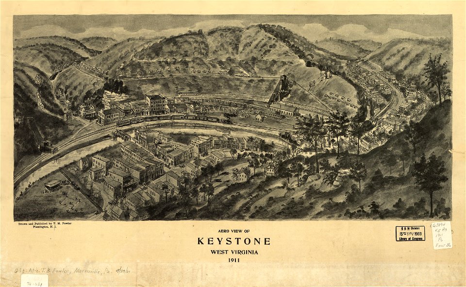
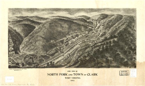
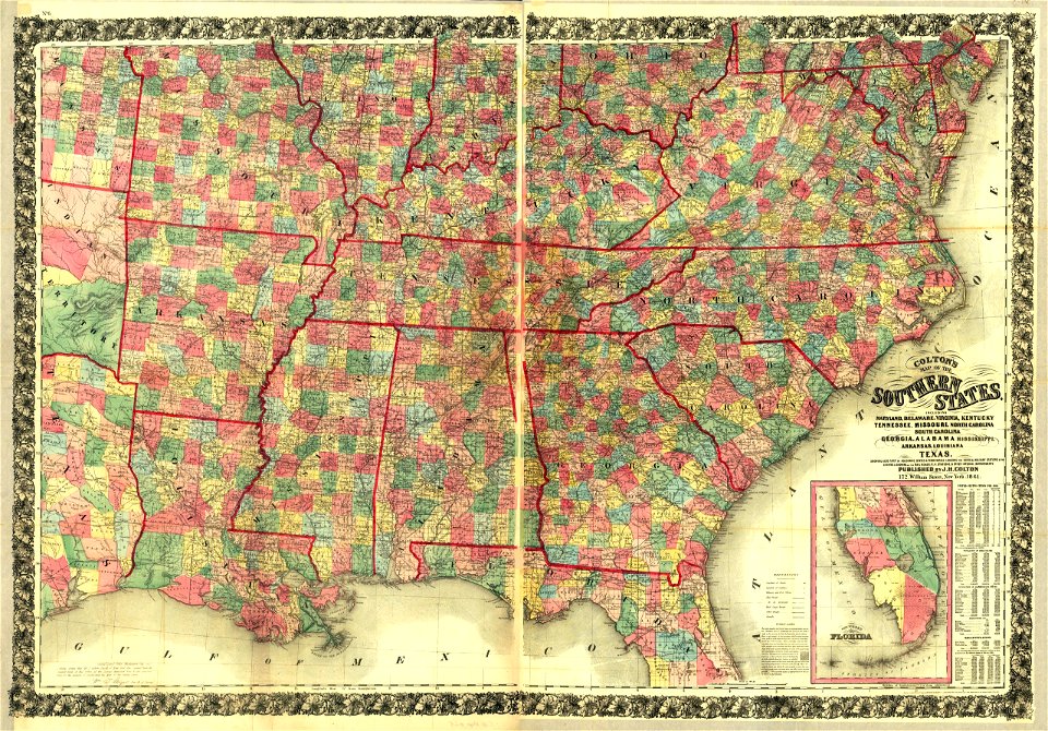
западна вирджиния
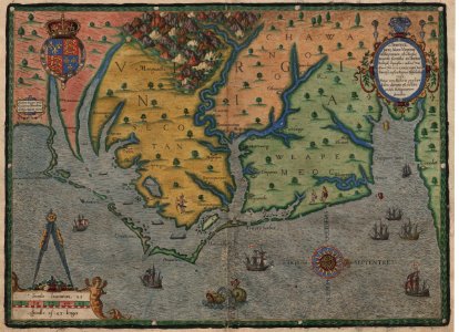
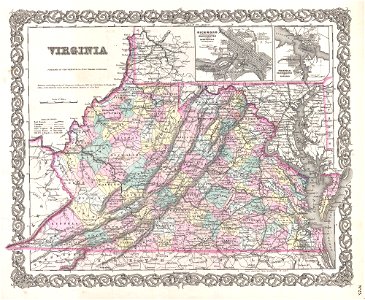
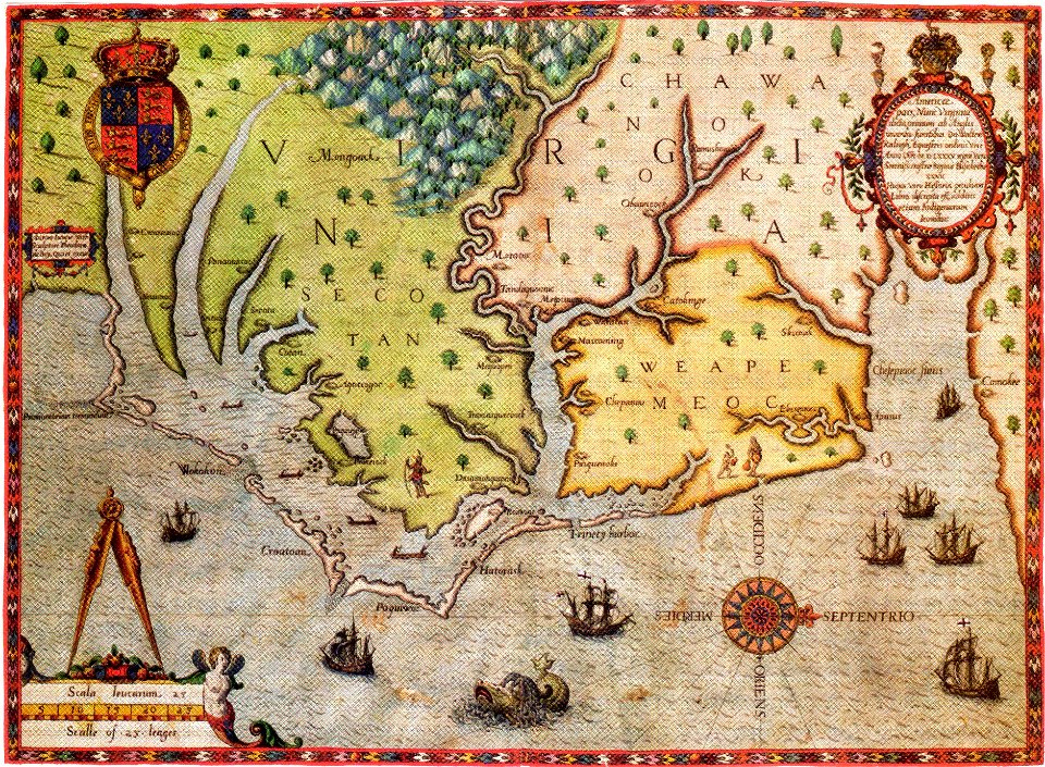
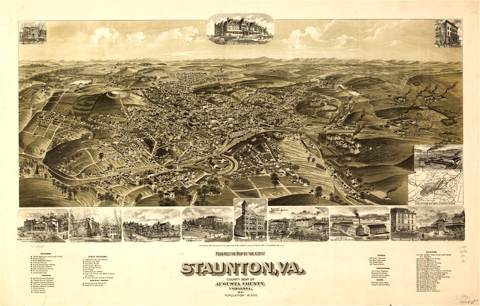
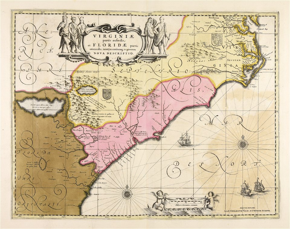
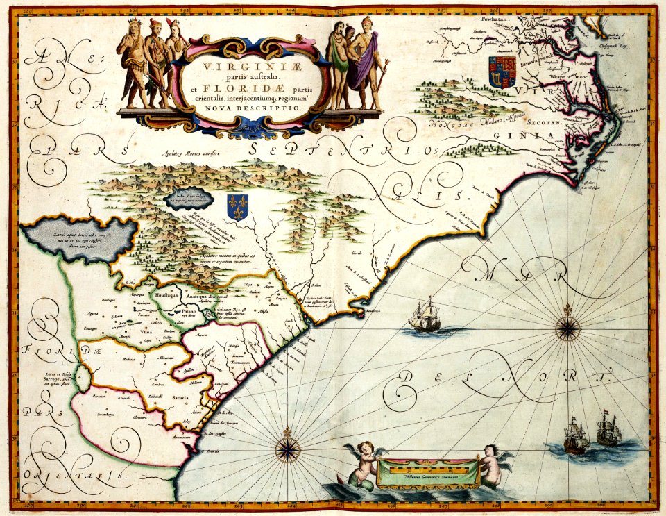
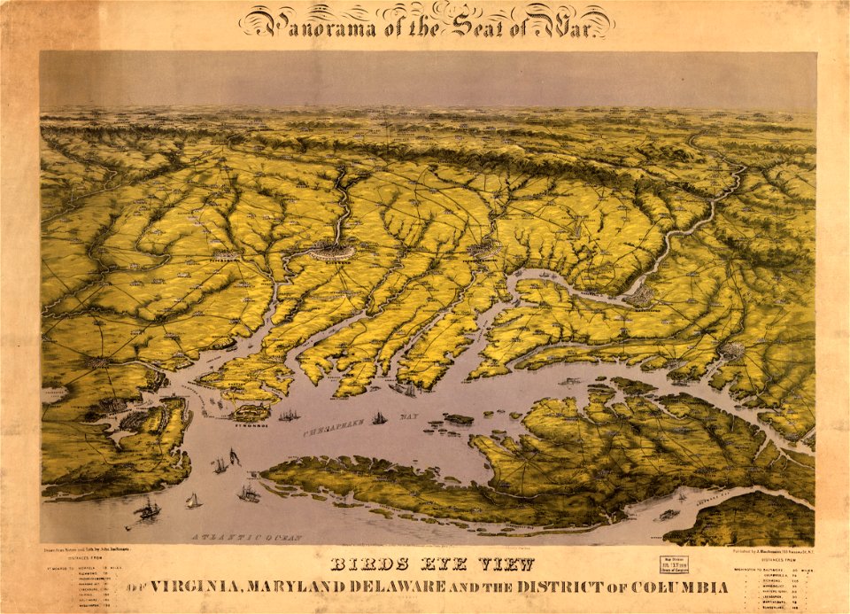
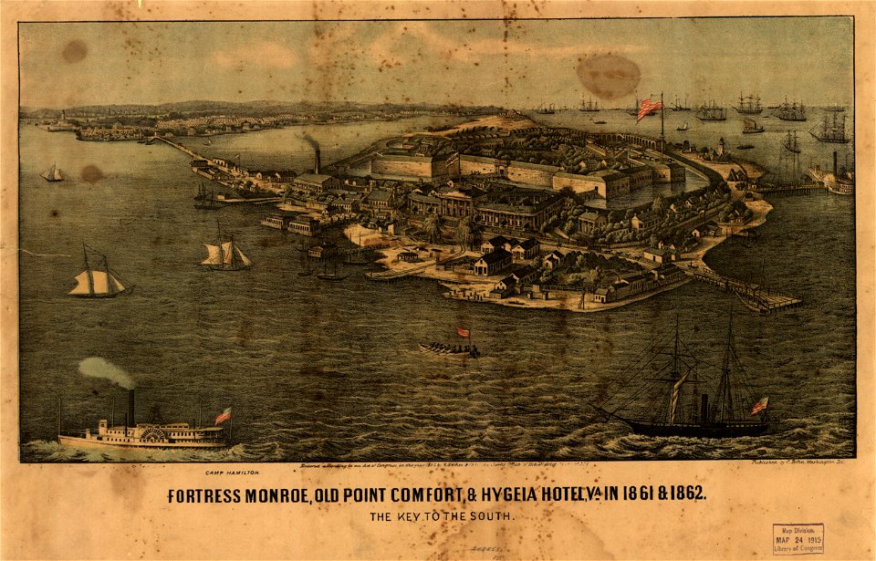
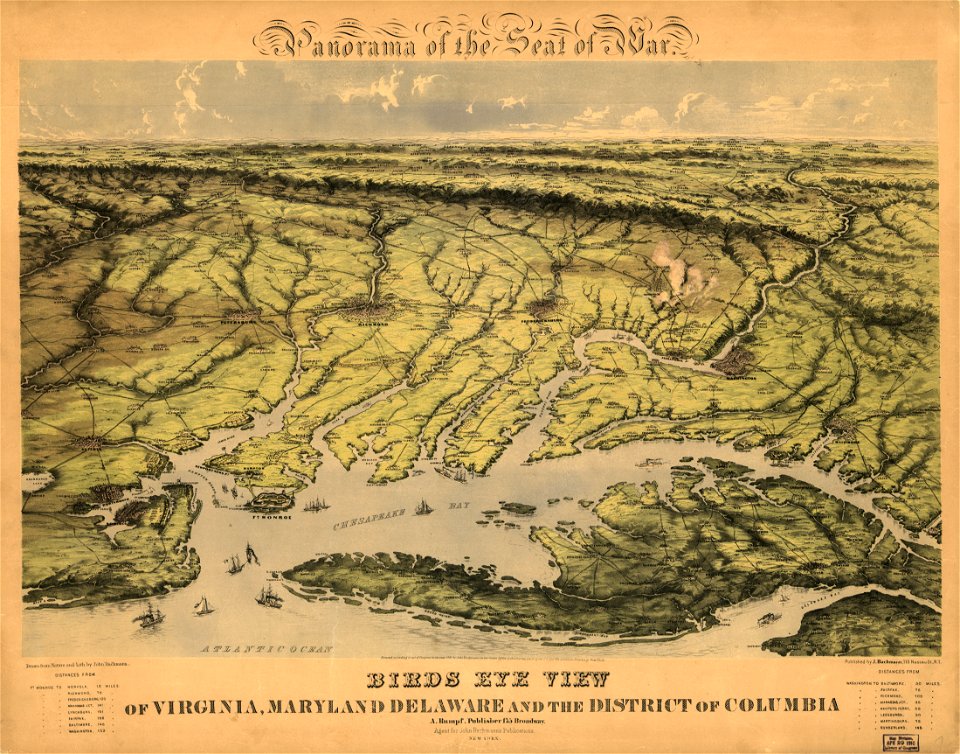
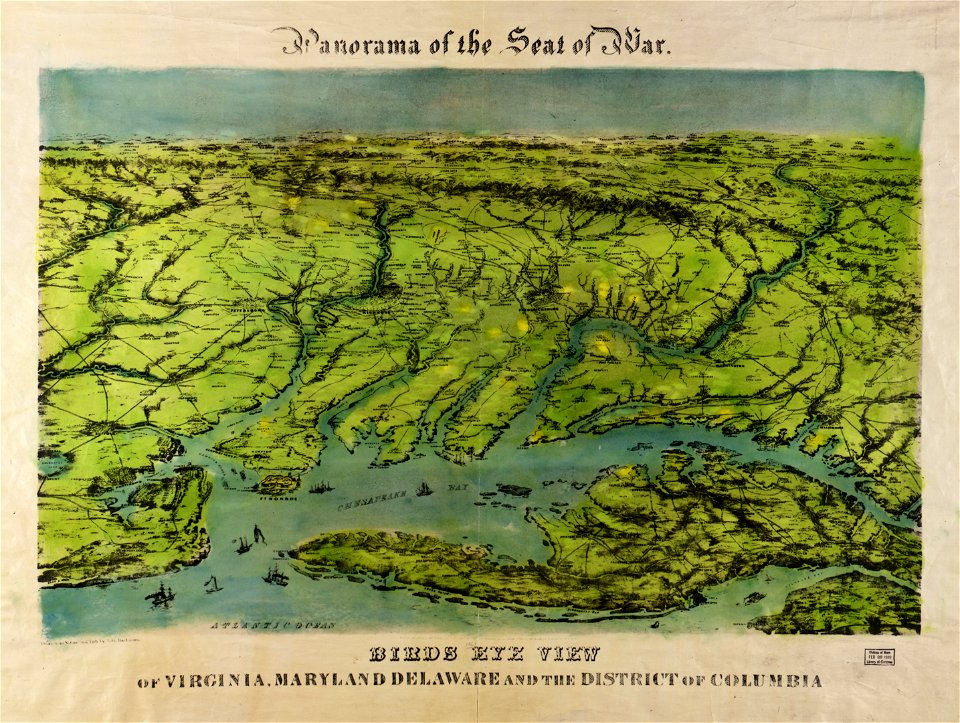
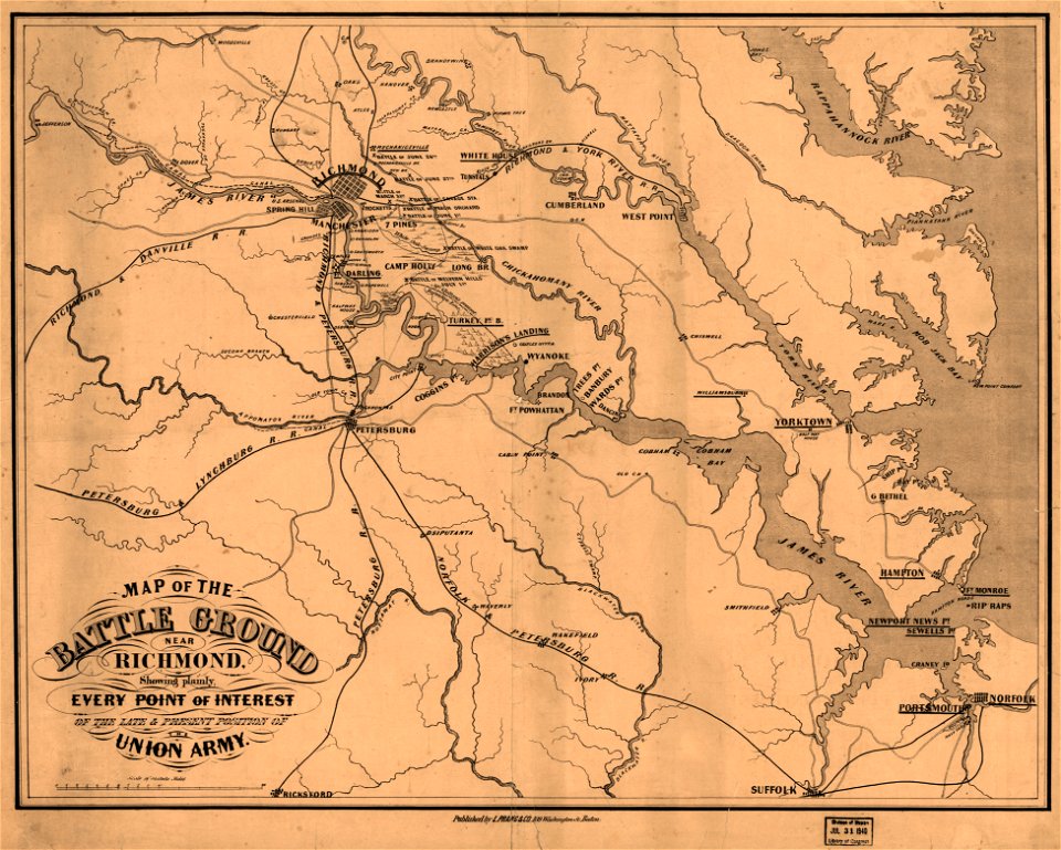
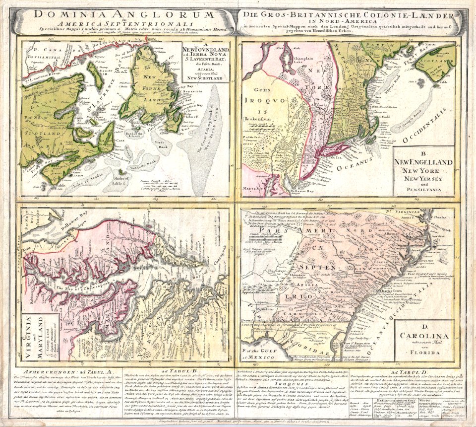
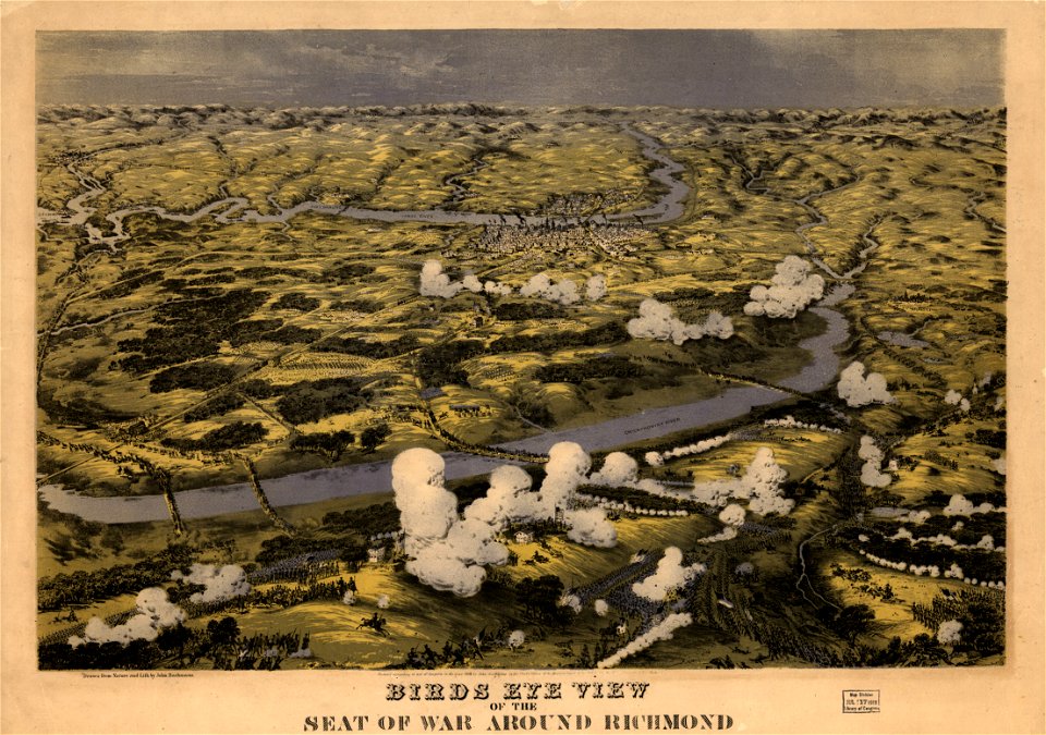
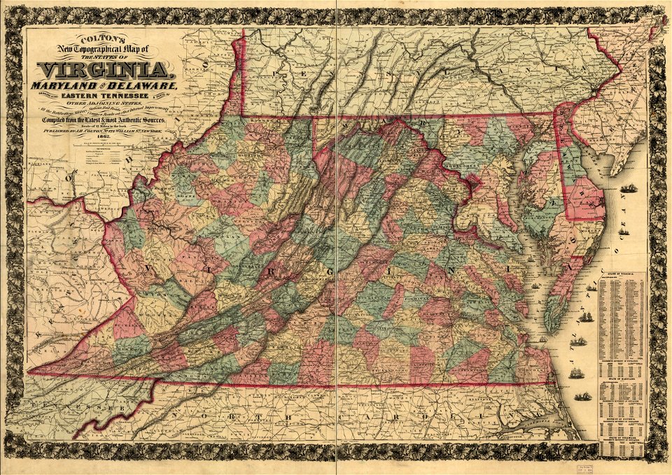
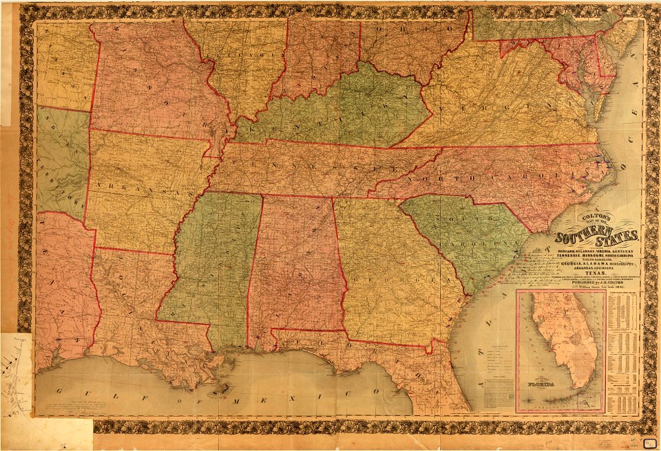
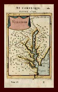
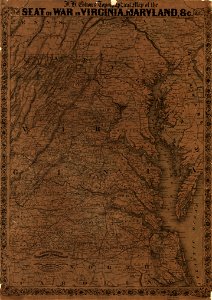
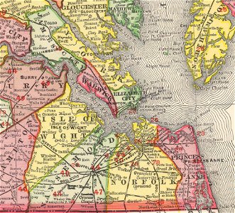
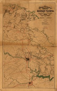
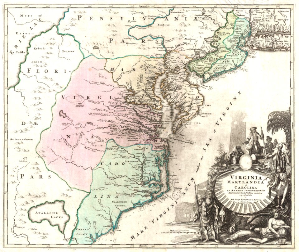
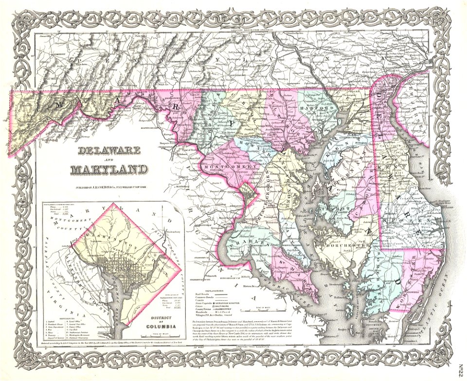
вирджиния
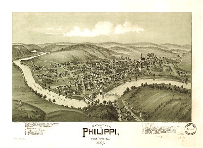
филипините
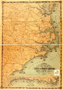
северна каролина
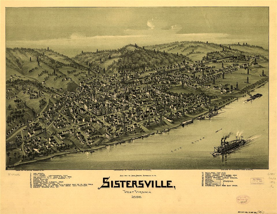
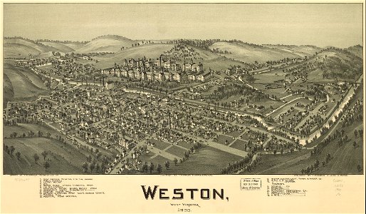
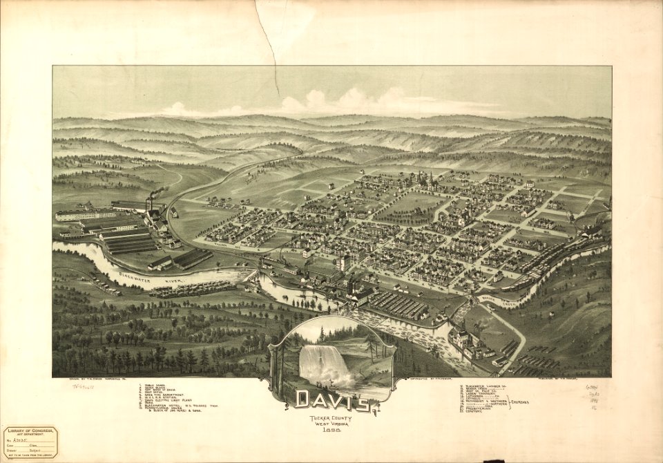
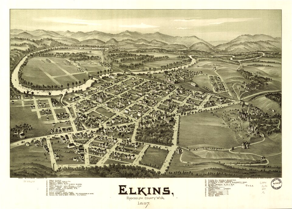
западна вирджиния
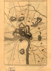
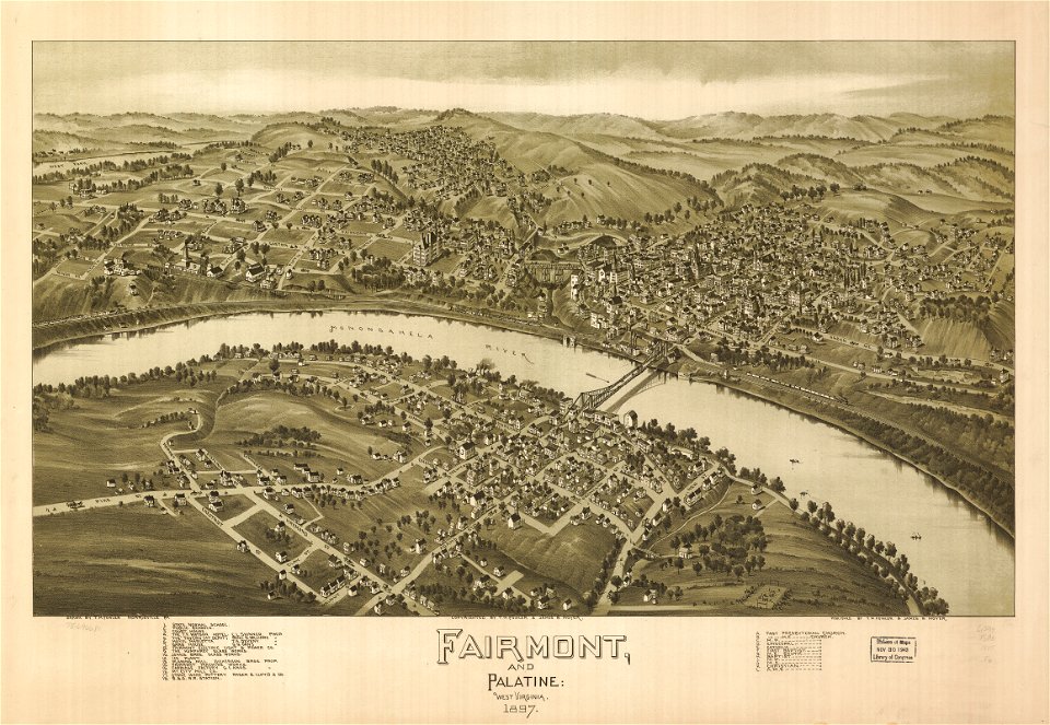
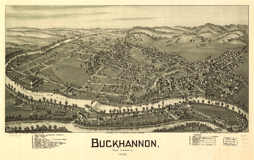
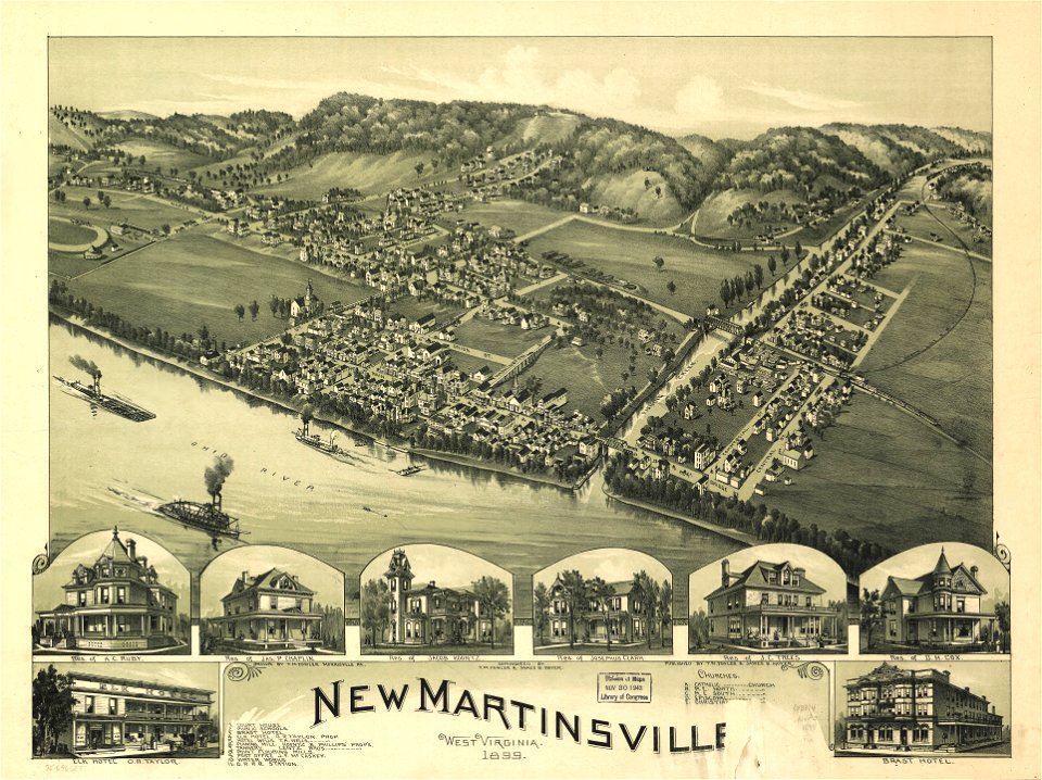
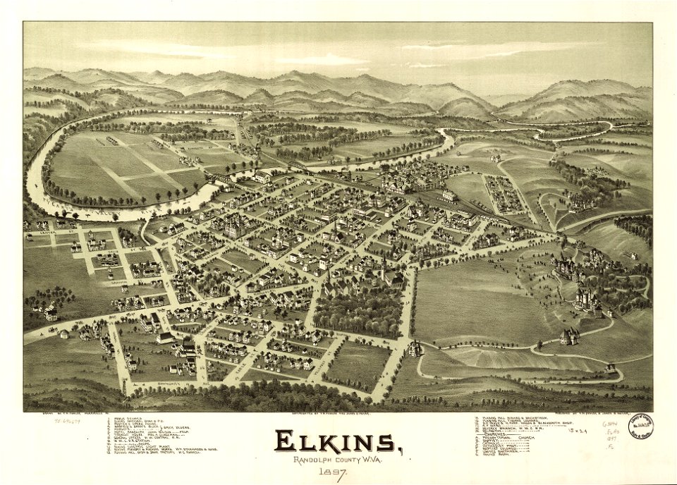
западна вирджиния
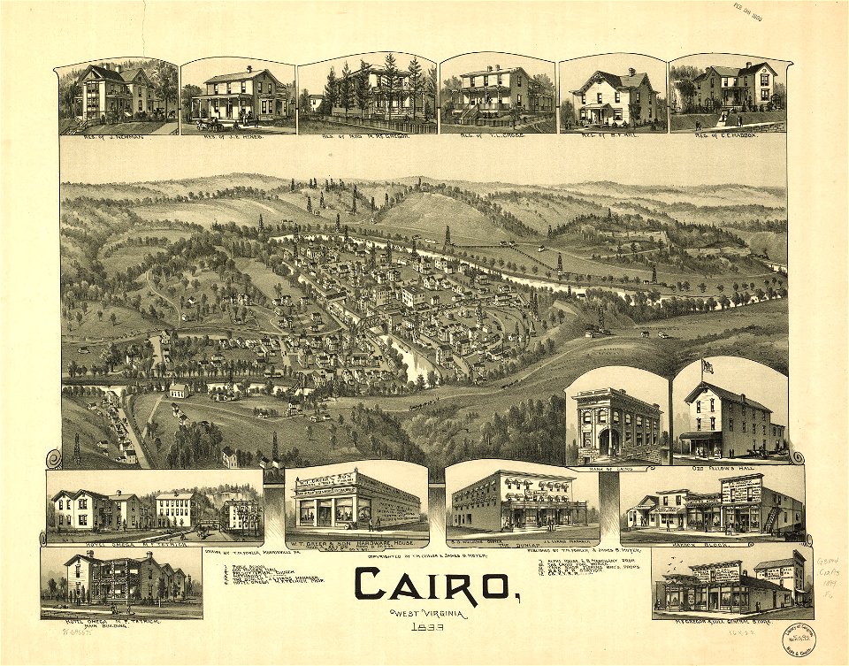
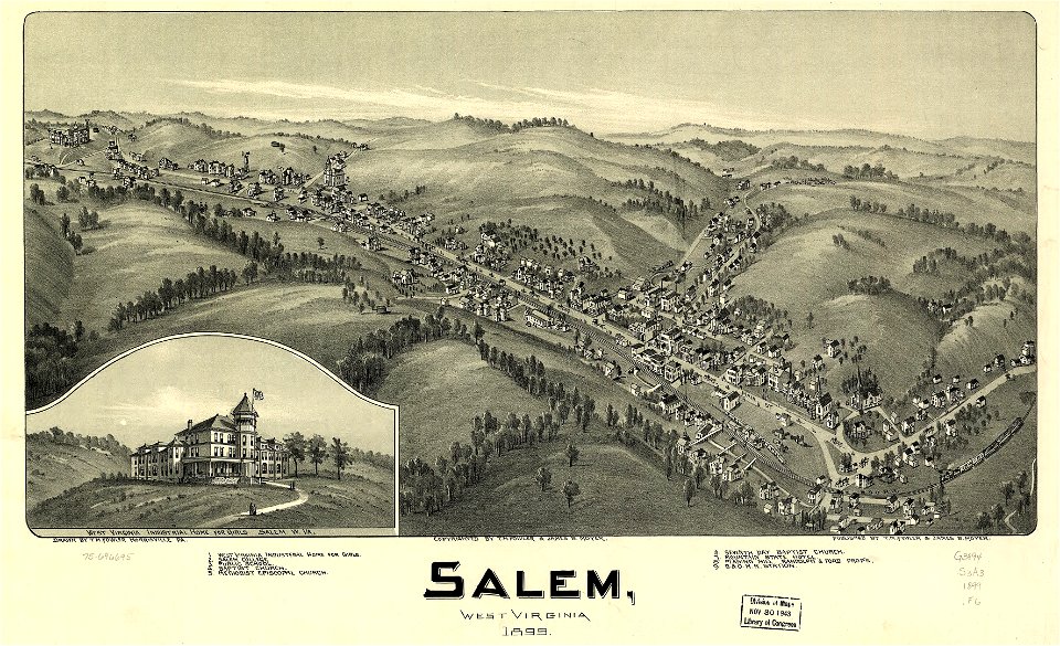
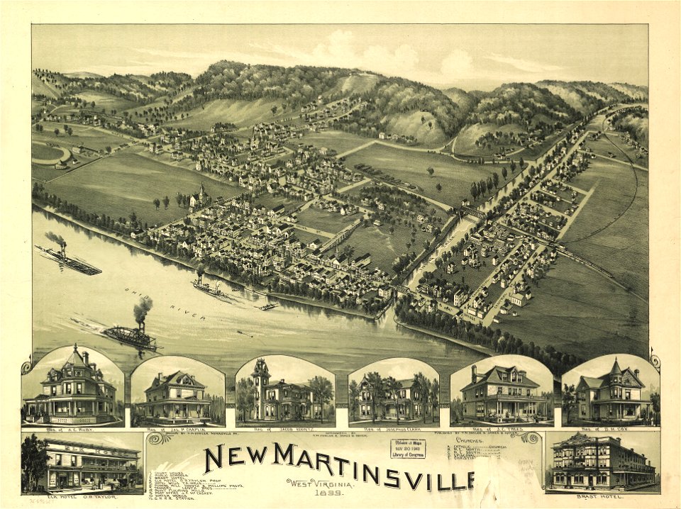
западна вирджиния
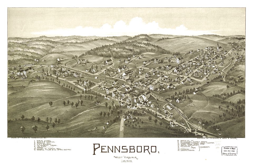
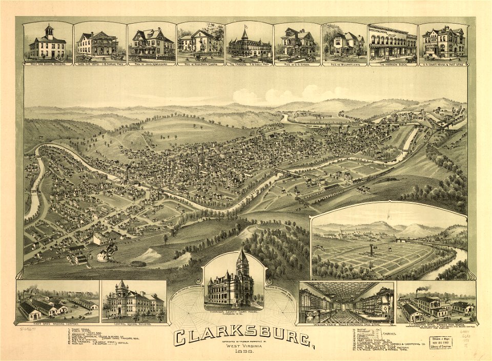
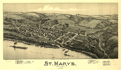
западна вирджиния
западна вирджиния
западна вирджиния
западна вирджиния
западна вирджиния
западна вирджиния
западна вирджиния
западна вирджиния
западна вирджиния
западна вирджиния
западна вирджиния
западна вирджиния
западна вирджиния
западна вирджиния
западна вирджиния
западна вирджиния
западна вирджиния
западна вирджиния
западна вирджиния
западна вирджиния
западна вирджиния
западна вирджиния
западна вирджиния
филипините
западна вирджиния
филипините
вирджиния
тенеси
западна вирджиния
западна вирджиния
западна вирджиния
западна вирджиния
западна вирджиния
северна каролина
вирджиния
северна каролина
вирджиния
вирджиния
вирджиния
1 - 100 z celkového počtu 112
Следваща страница
/ 2