Влезте
Всички ресурси
Създаване на дизайн
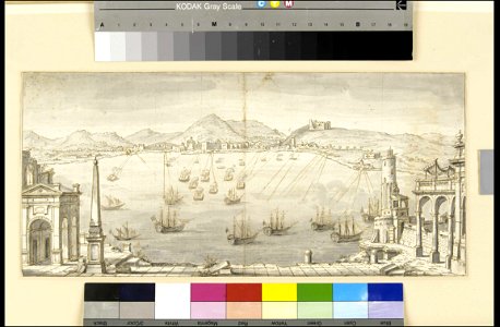
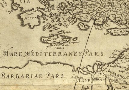
448 Свободни изкуства за Mediterranean Sea
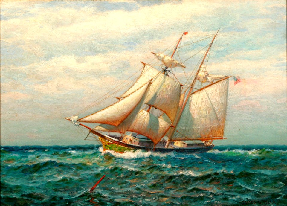
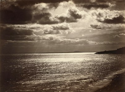
море
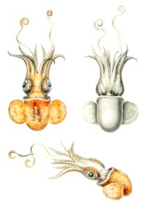
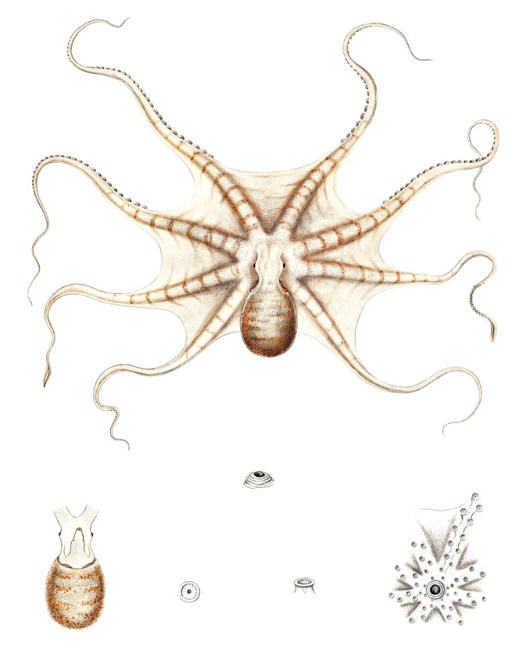
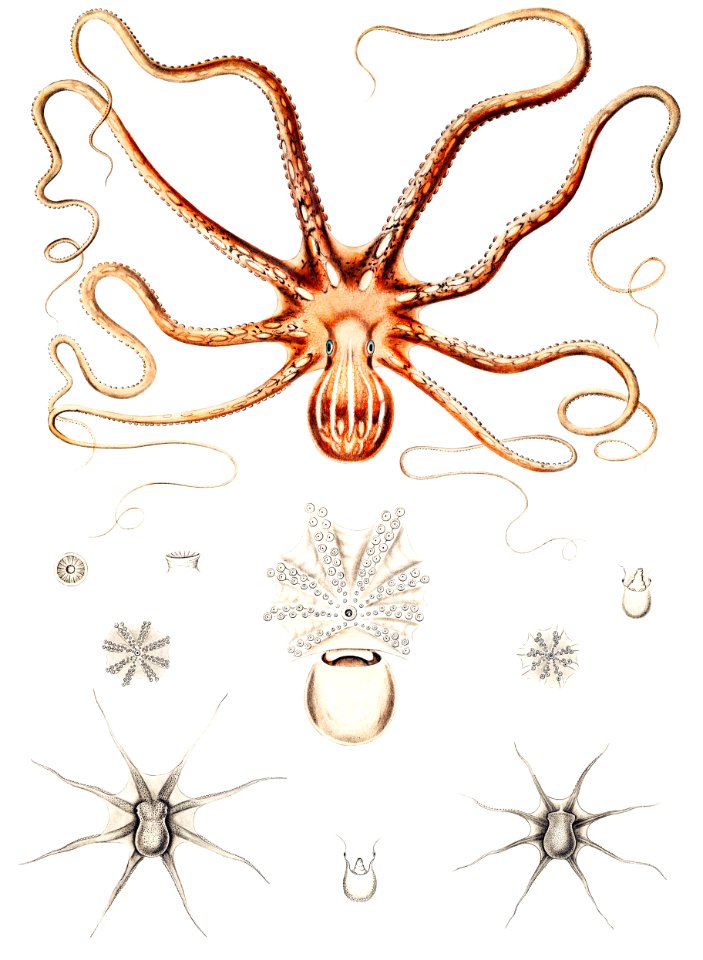
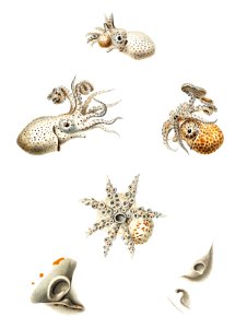
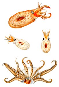
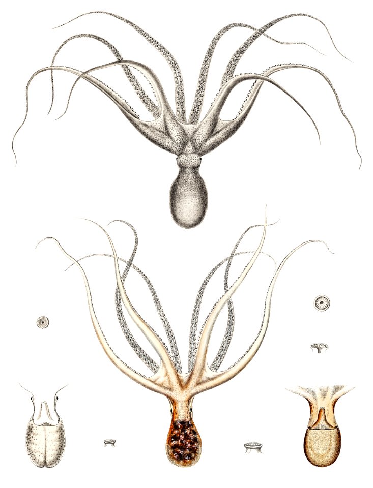
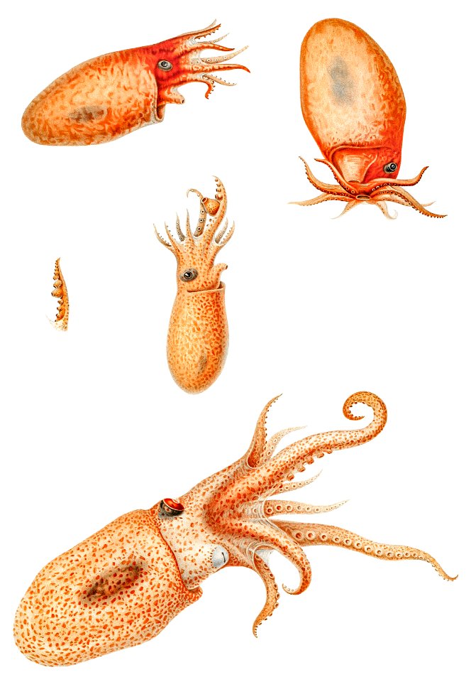
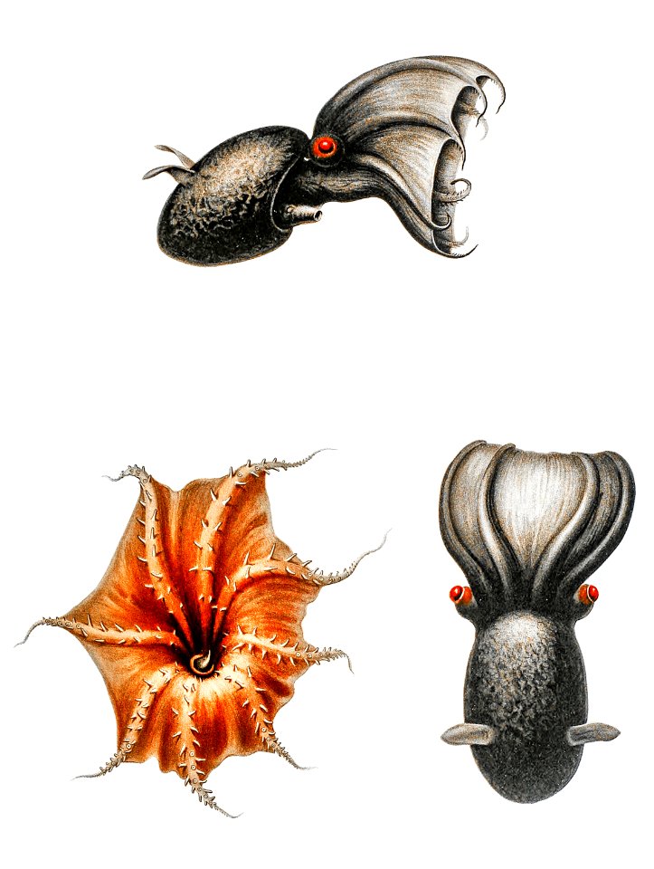
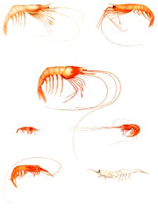
octopus
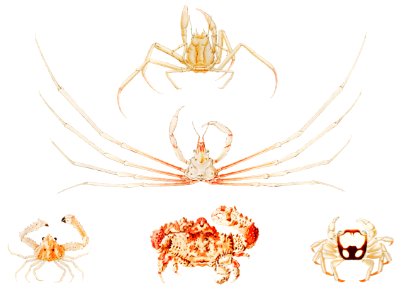
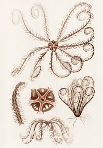
морски
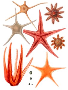
животни
наука
морско създание
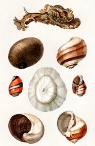
раковина
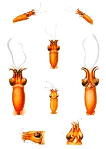
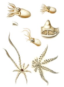
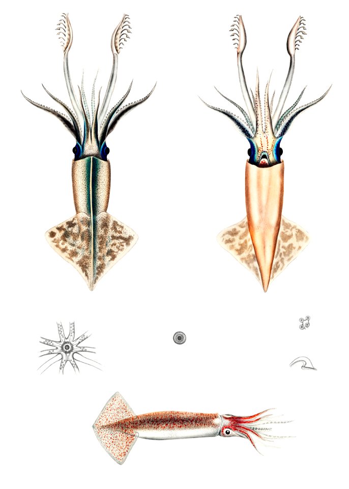
калмар
пипало
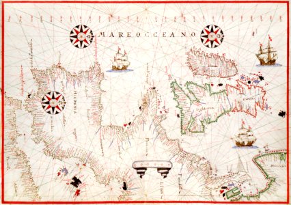
постер
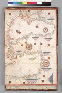
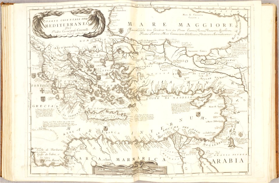
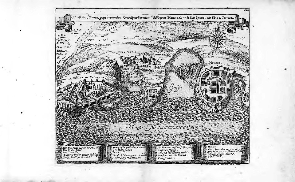
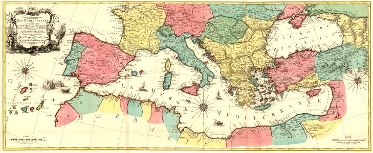
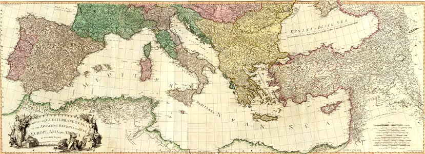
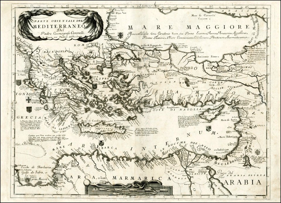
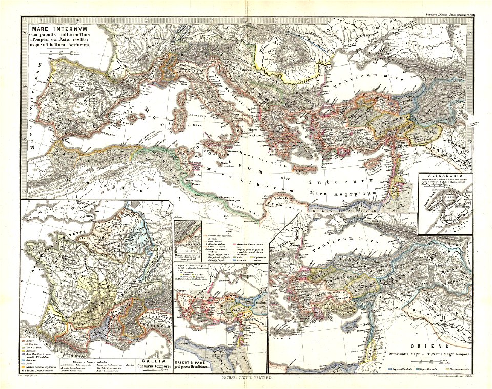
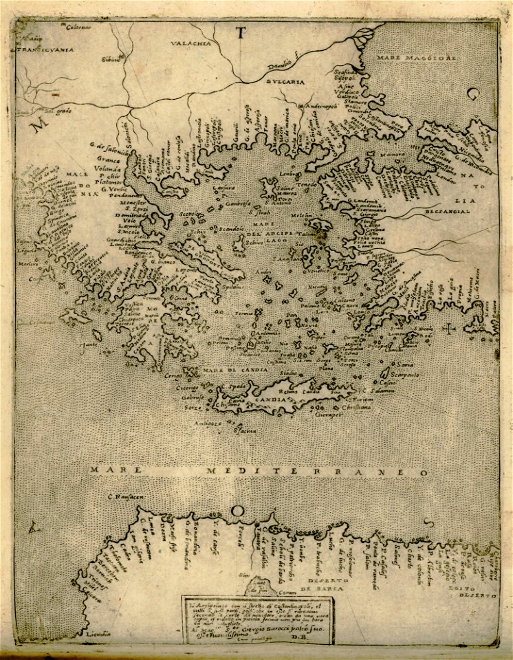
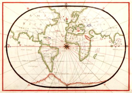
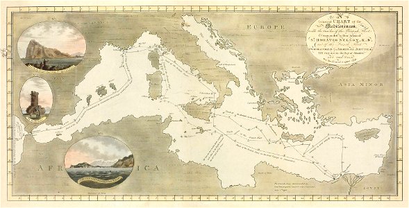
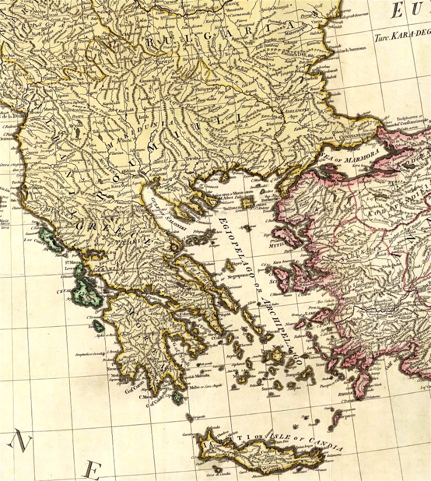
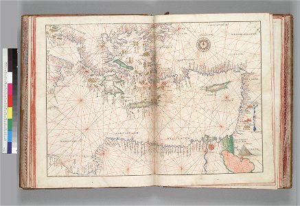
карти
море
карти
море
печат
море
луна
печат
печат
жълтото
море
животни
море
наука
море
книга
печат
наука
море
животни
море
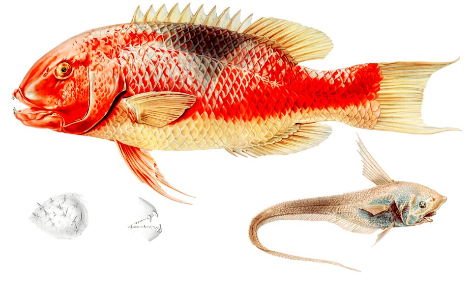
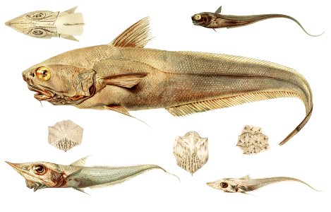
риба
море
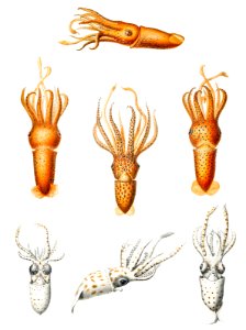
калмар
море
море
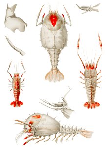
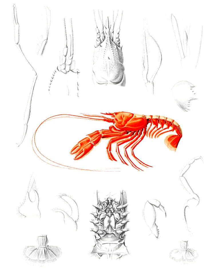
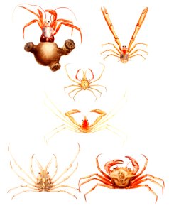
омар
риба
море
животни
наука
морски
море
животни
наука
животни
наука
животни
калмар
животни
наука
шарки
море
карти
море
морски
море
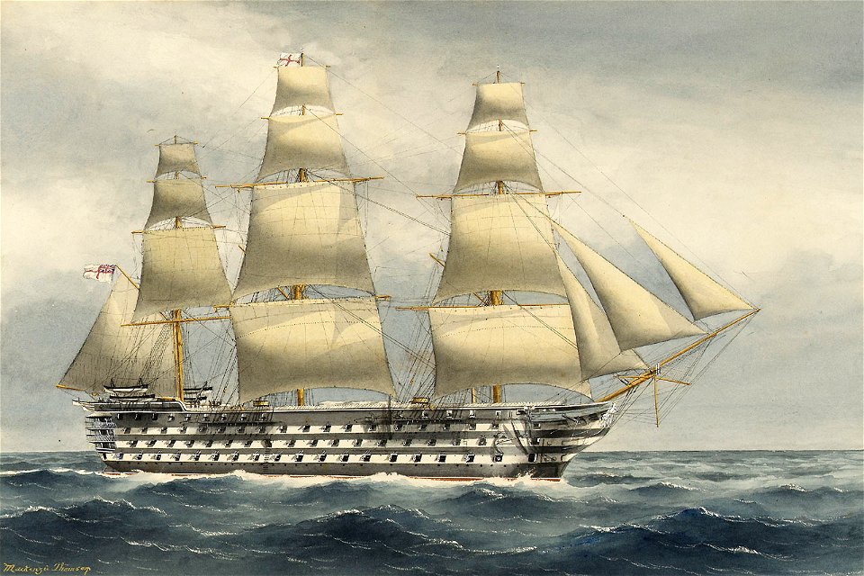
лондон
печат
животни
море
лондон
пътища
река
пътища
река
животни
риба
морски
море
животни
наука
зайци
море
наука
море
наука
море
винтидж
карти
животни
море
1 - 100 z celkového počtu 448
Следваща страница
/ 5