Влезте
Всички ресурси
Създаване на дизайн
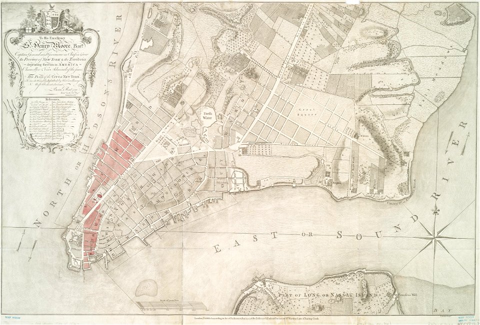
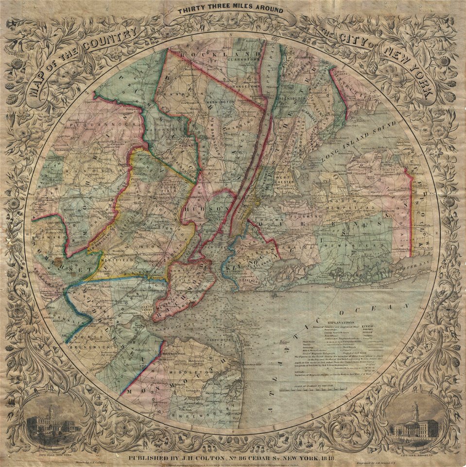
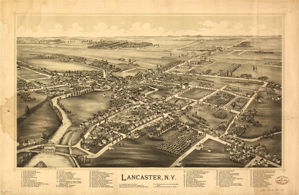
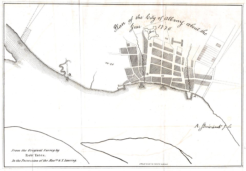
12 Свободни изкуства за Old Maps Of Cities In New York (state)
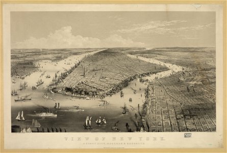
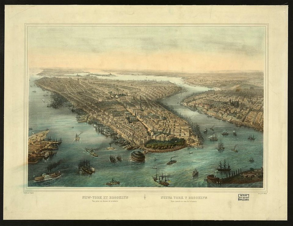
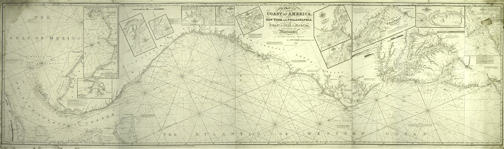
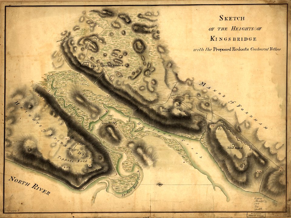
ню йорк
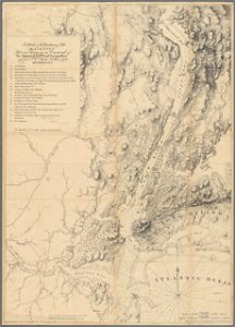
ню йорк
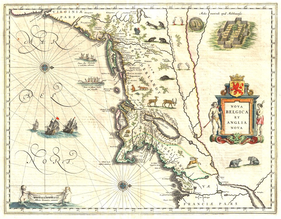
ню йорк
1 - 12 z celkového počtu 12
/ 1