Anmelden
Alle Ressourcen
Design erstellen
20.118 Kostenlose Bilder von Plan
historisch
geschichte
papier
stadt
kalifornien
undomestizierte lebewesen
landschaft
tourismus
wüste
entwurf
geschichte
historisch
geschichte
historisch
geschichte
historisch
geschichte
historisch
geschichte
historisch
technologie
computer
undomestizierte lebewesen
landschaft
unterwasser
meer
karten
reise
geschäftsbetrieb
möbel
landschaft
strand
gemüse
stadt
gemüse
wasser
gestalt
blau
undomestizierte lebewesen
landschaft
einzelhandel
entwurf
entwurf
illustration
karten
illustration
karten
broschüre
entwurf
broschüre
entwurf
broschüre
entwurf
illustration
karten
technologie
natur
papier
realismus
papier
tiere
natur
tiere
natur
papier
papier
papier
papier
gebäude
steine
geschichte
historisch
geschichte
historisch
geschichte
historisch
geschichte
historisch
geschichte
historisch
geschichte
historisch
geschichte
historisch
geschichte
historisch
geschichte
historisch
geschichte
historisch
geschichte
historisch
unbekannt
realismus
papier
realismus
papier
papier
papier
papier
papier
papier
papier
papier
papier
geschichte
historisch
geschichte
historisch
geschichte
historisch
tiere
natur
landschaft
tiere
geschichte
historisch
gemüse
reise
verkehrsmittel
neuseeland
geschichte
historisch
geschichte
historisch
geschichte
historisch
geschichte
historisch
geschichte
historisch
geschichte
historisch
geschichte
historisch
geschichte
historisch
kalifornien
verkehr
kalifornien
landschaft
gemüse
wasser
13201 - 13300 von 20.118
Nächste Seite
/ 202


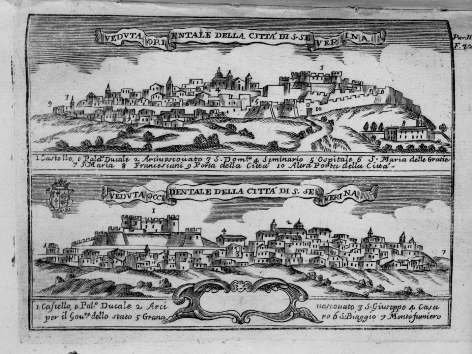
![Benjamin Cole02, Benjamin Cole, circa 1755[1][2]](https://cdn.creazilla.com/illustrations/10000478895/benjamin-cole02-benjamin-cole-circa-1755-1-2-md.jpg)