Anmelden
Alle Ressourcen
Design erstellen
20.118 Kostenlose Bilder von Plan
geschichte
historisch
gestein
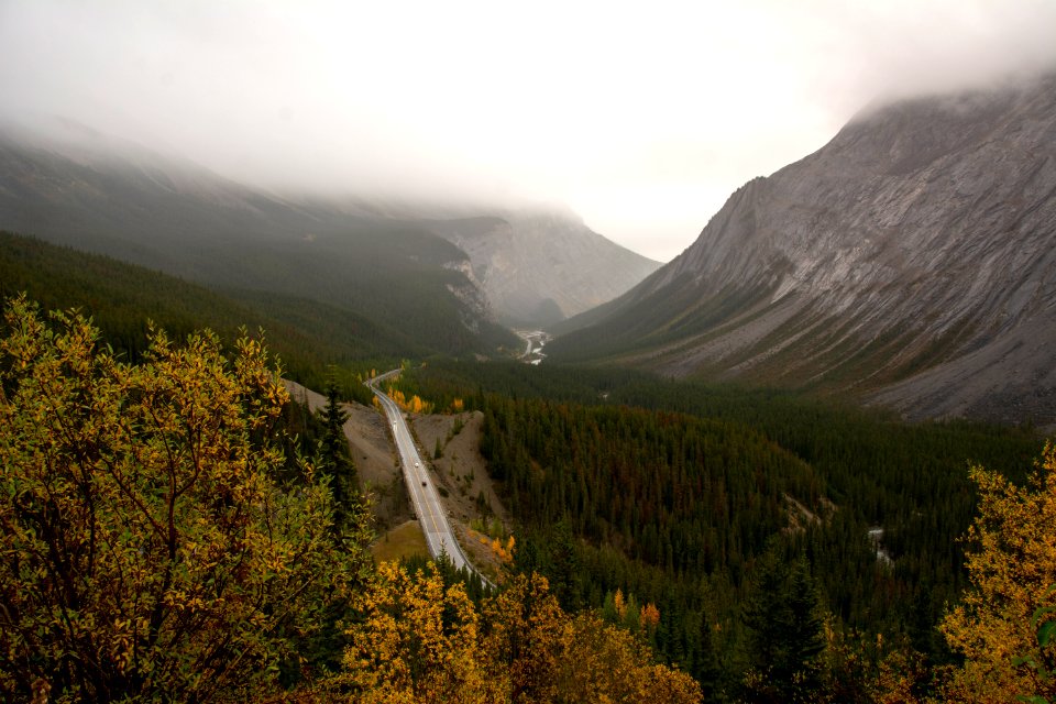
berg
reise
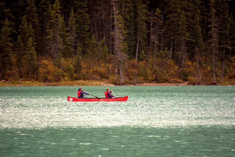
wald
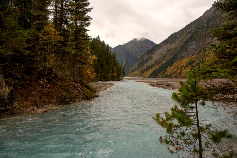
fluss
schnee
draußen
see
verkehrsmittel
fisch
landschaft
reise
landschaft
reise
gestein
gemüse
elektrizität
tiere
entwurf
männlich
militär
gebäude
gemüse
gemüse
reise
landschaft
reise
landschaft
reise
reise
natur
landschaft
reise
landschaft
reise
landschaft
reise
landschaft
reise
landschaft
reise
landschaft
reise
landschaft
reise
landschaft
reise
gemüse
baum
landschaft
gemüse
elektrizität
pumpe
broschüre
entwurf
militär
boot
entwurf
entwurf
entwurf
männlich
militär
afroamerikaner
afro-look
entwurf
entwurf
entwurf
entwurf
tiere
natur
geschichte
historisch
geschichte
historisch
geschichte
historisch
geschichte
historisch
geschichte
historisch
geschichte
historisch
geschichte
historisch
geschichte
historisch
geschichte
historisch
geschichte
historisch
geschichte
historisch
geschichte
historisch
geschichte
historisch
geschichte
historisch
geschichte
historisch
geschichte
historisch
geschichte
historisch
geschichte
historisch
geschichte
historisch
geschichte
historisch
geschichte
historisch
geschichte
historisch
geschichte
historisch
geschichte
historisch
geschichte
historisch
14401 - 14500 von 20.118
Nächste Seite
/ 202


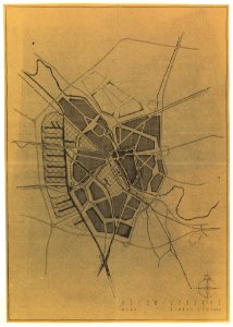
![Map of the city and surroundings of Cambrai / drawn up by Aimé Robiquet, road agent; lith. by F[éli]x Robaut in Douai; Ed. Boldoduc lith., Félix Robaut, 1847](https://cdn.creazilla.com/illustrations/10000181779/map-of-the-city-and-surroundings-of-cambrai-drawn-up-by-aim-robiquet-road-agent-lith-by-flix-robaut-in-douai-ed-boldoduc-lith-flix-robaut-1847-sm.webp)