Anmelden
Alle Ressourcen
Design erstellen
Tools
11.447 Kostenlose Bilder von Route
reise
straßen
weg
landschaft
baum
highway
grün
himmel
natur
sommer
verkehrsmittel
zug
flugzeug
reise
landschaft
reise
natur
baum
gesundheitswesen
arzneimittel
schriftzeichen
reise
geschäftsbetrieb
gebäude
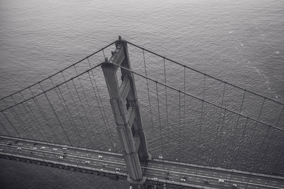
skyline
reise
amerika
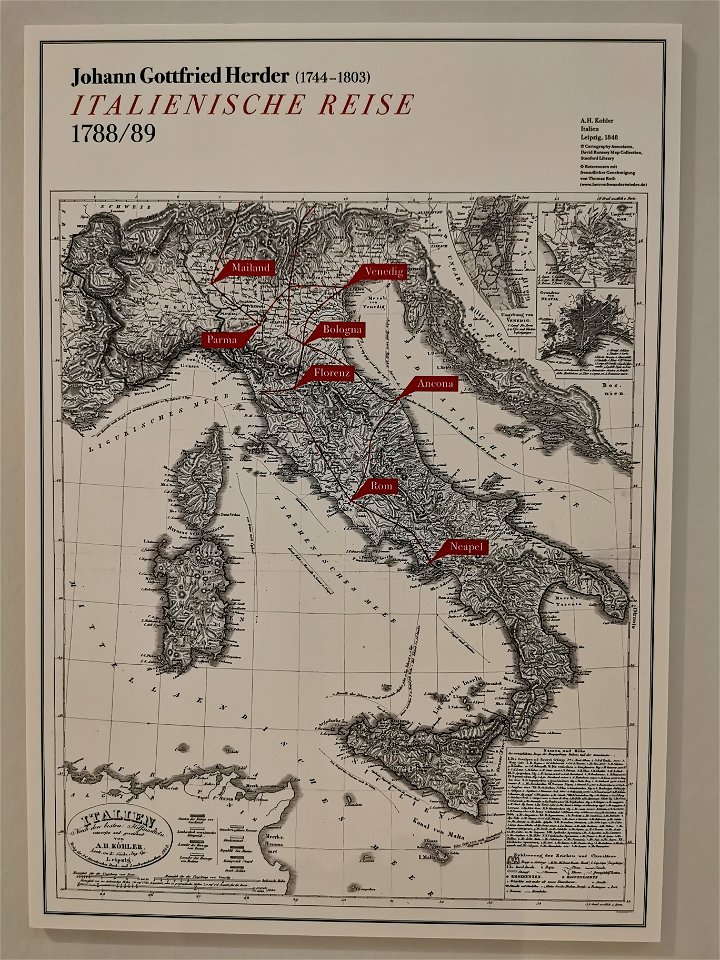
museum
natur
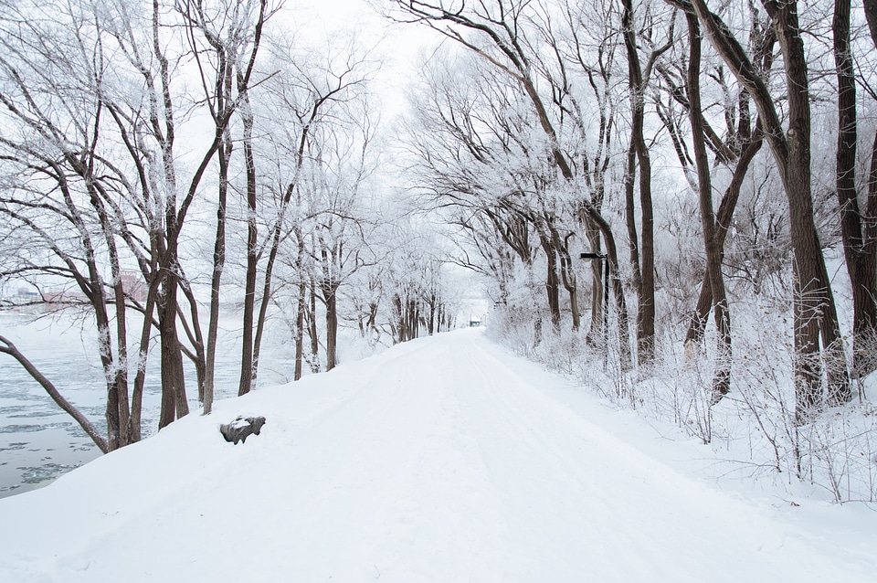
baum
landschaft
natur
landschaft
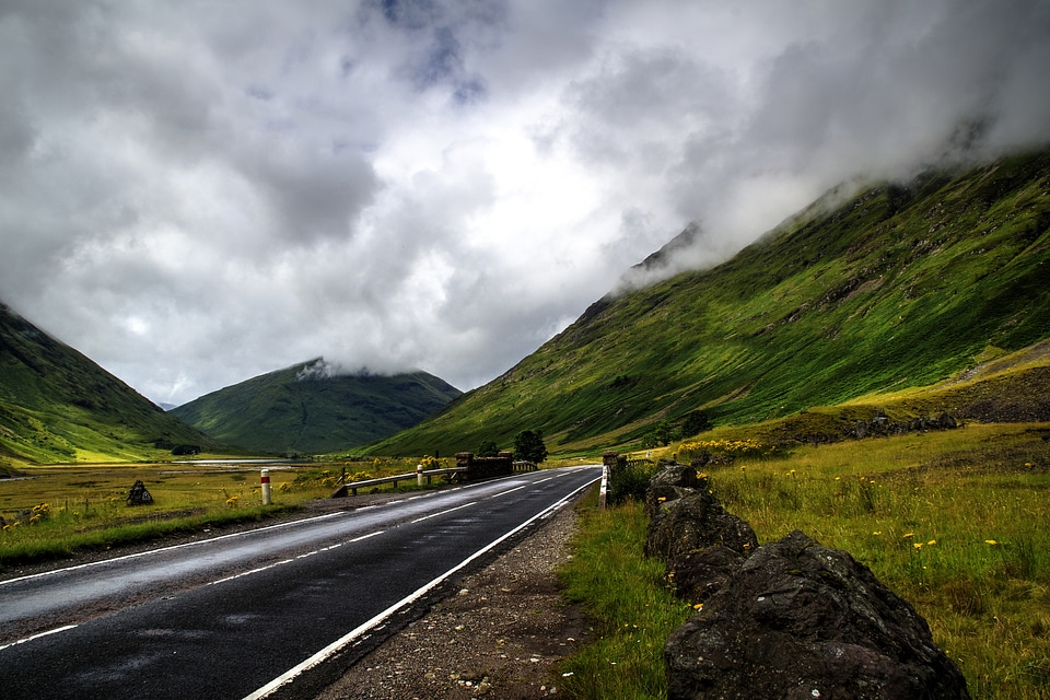
reise
verkehrsmittel
straßen
wasser
meer
route
landschaft
reise
baum
wald
landschaft
natur
landschaft
tiere
fahrrad
stadt
landschaft
natur
verkehrsmittel
wald
baum
wald
verkehrsmittel
auto
landschaft
reise
landschaft
reise
route
route
route
reise
baum
herbst
baum
landschaft
natur
landschaft
horizont
wasser
fluss
route
route
reise
baum
landschaft
reise
landschaft
natur
vereinigte staaten
symbol
jahrgang
auto
route
mädchen
stadt
landschaft
baum
reise
stadt
hintergrund
landschaft
geschäftsbetrieb
gebäude
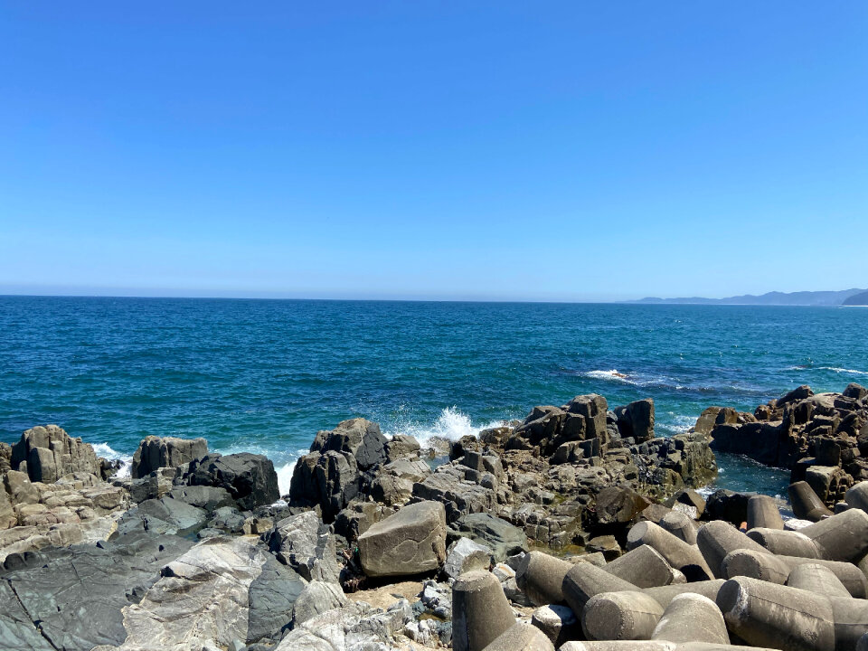
ozean
meer
landschaft
reise
schriftzeichen
schild
wasser
meer
landschaft
meer
hintergrund
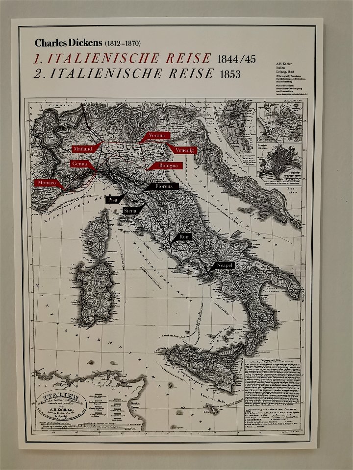
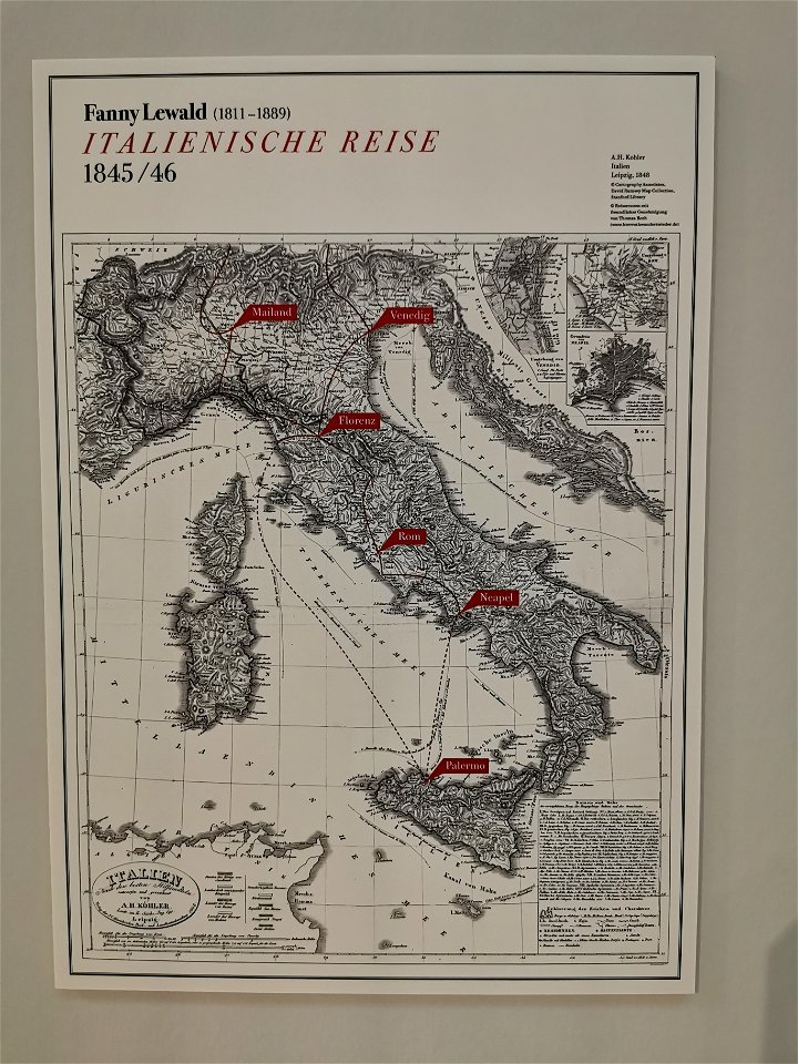
karten
porträt
wasser
meer
hintergrund
karten
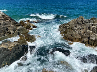
gestein
meer
ozean
meer
gestein
baum
landschaft
wasser
fußboden
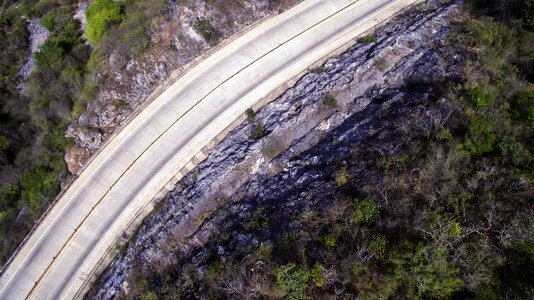
route
küste
route
landschaft
meer
argentinien
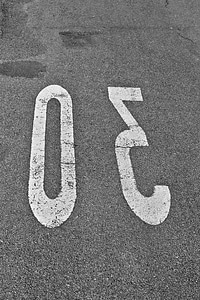
route
highway
wasser
schriftzeichen
route 66
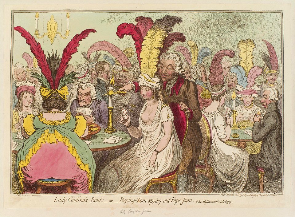
london
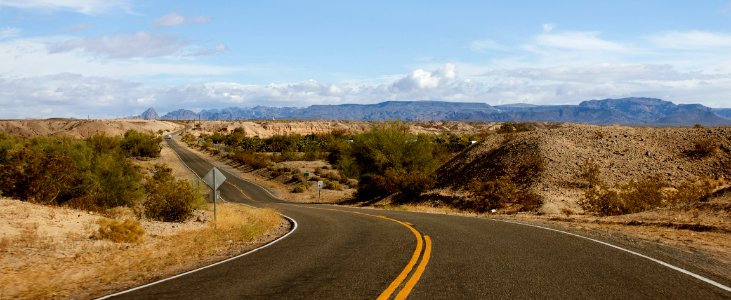
route
amerika
wüste
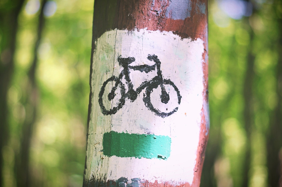
fahrrad
baum
geländer
frau
straßen
weg
undomestizierte lebewesen
tiere
gestein
natur
licht
baum
flügel
reise
vereinigte staaten
route
symbol
reise
reise
baum
fotografie
reise
symbol
reise
frühling
reise
karten
reise
route
verkehrsmittel
auto
reise
baum
fahren
reise
landschaft
landschaft
reise
reise
baum
symbol
reise
reise
baum
reise
baum
101 - 200 von 11.447
Nächste Seite
/ 115