Iniciar sesión
Todos los recursos
Crear un diseño
Tools
440 Imágenes gratuitas de Longitud
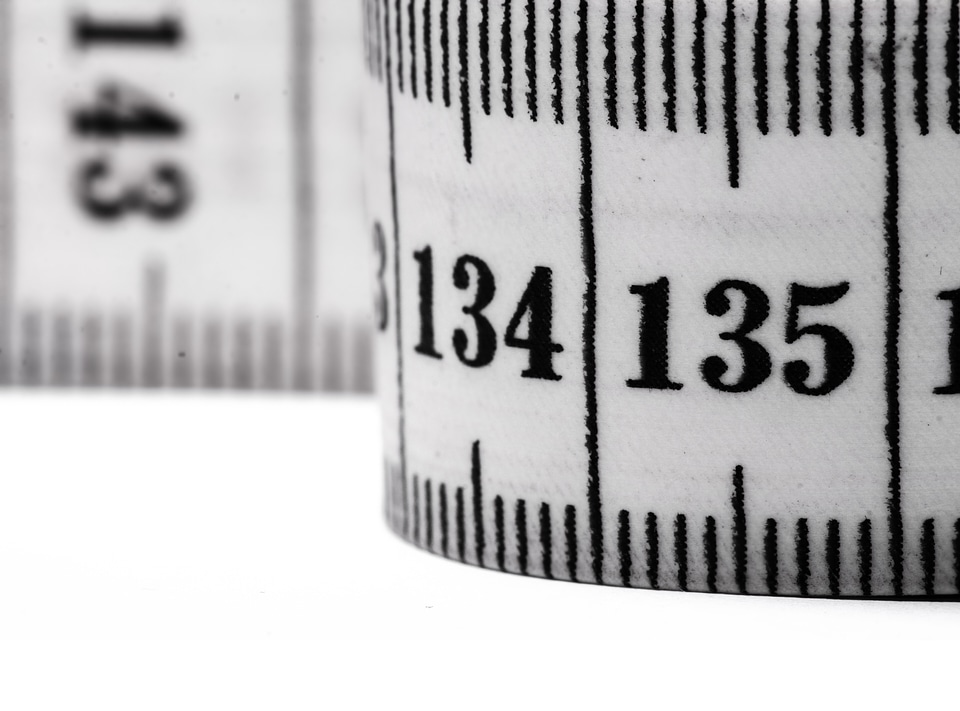
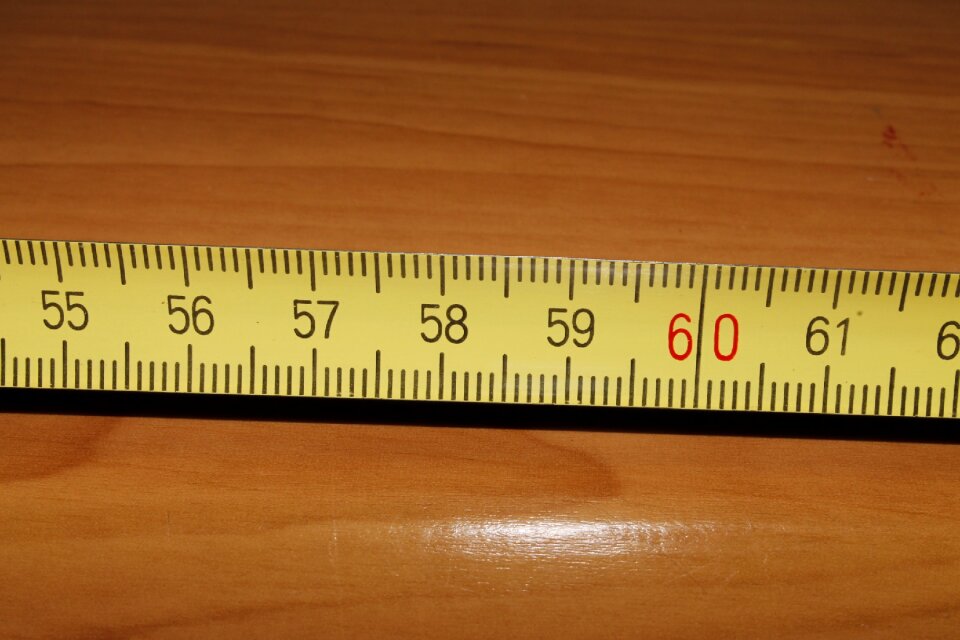
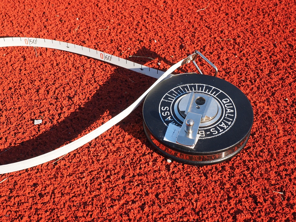
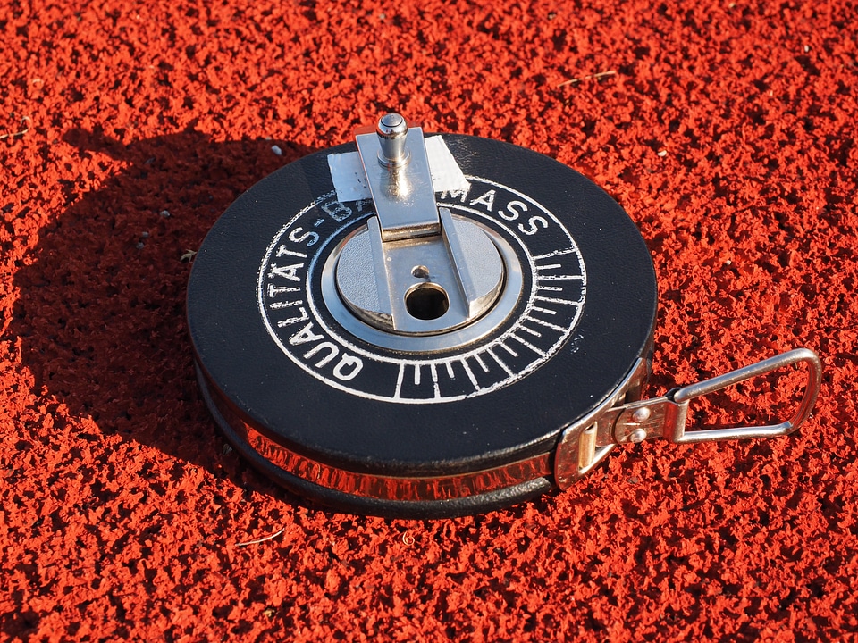
medición
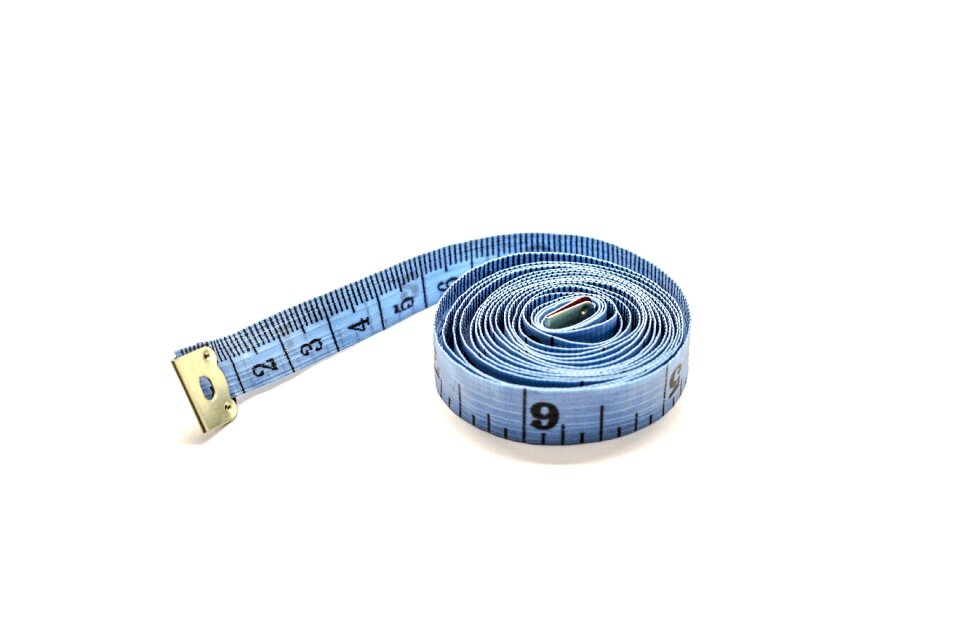
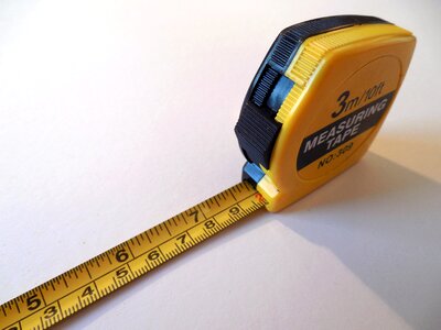
cinta para medir
metro
globo
esfera
aislamiento
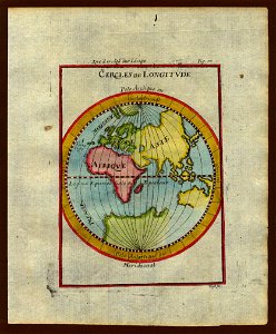
geografía
blanco
lleno
viaje
mapas
viaje
mapas
viaje
mapas
viaje
mapas
viaje
planeta
mapas
objetos
avión
naturaleza
paisaje
objetos
avión
amarillo
equipo
herramientas
objetos
viaje
globo
medicina
báscula
longitud
herramientas
deporte
personas
atletas
mamíferos
animales
animales
aves
herramientas
escuela
medicamento
naturaleza
estrella
tatuaje
atletas
deporte
amarillo
medición
matemáticas
medición
paisaje
árbol
mamíferos
animales
antecedentes
comida
mamíferos
animales
mamíferos
animales
mamíferos
animales
medición
metro
medición
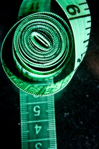
costura
naturaleza
comida
mamíferos
toros
sombrero
negocio
libros
invierno
paisaje
espacio
silueta
esfera
globo
brújula
equipo
medición
metro
medición
metro
edificio
medición
medición
cinta
medición
metro
caída
agua
tierra
globo
antecedentes
animales
tierra
globo
agua
río
medición
metro
medición
metro
medición
metro
símbolo
viaje
edificio
ciudad
impresión
automóvil
raya
medición
metro
cinta para medir
medición
animales
insectos
impresión
globo
azul
chicas
viaje
automóvil
raya
medición
metro
cinta para medir
medición
cinta para medir
medición
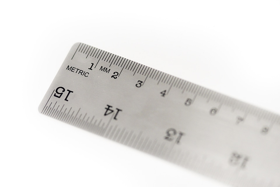
geometría
medición
planeta
tierra
símbolo
piedras
patrón
acero
medición
oficio
comida
frutas
pelotas
tierra
medición
oficio
mujer
moda
medición
báscula
rollo
regla
mujer
moda
instrumento de medición
medición
cuerpo
chicas
medición
metro
matemáticas
equipo
flecha
patrón
vida marina
medición
oficio
estrella
viaje
insectos
herramientas
báscula
planeta
tierra
1 - 100 de 440
Página siguiente
/ 5


![Holothuria tubulosa Gmelin, 1791 [edit : doubtful identification]
Coordinate uncertainty in metres 500
Country or area Croatia
Decimal latitude 45.081541
Decimal longitude 13.636637
Geodeti](https://cdn.creazilla.com/photos/7699049/holothuria-tubulosa-gmelin-1791-edit-doubtful-identification-coordinate-uncertai-md.jpeg)


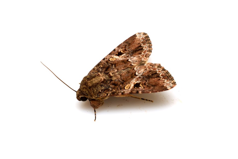
![Erebus ephesperis (Hübner, [1823])(Erebidae), adult moth
Photo location: Japan: Motootu, Muroto-shi, Kochi Prefecture
Latitude and Longitude: N33°19'10.93",E134°07'10.93"
Date and time: July 22, 2016,](https://cdn.creazilla.com/photos/7708473/erebus-ephesperis-hubner-1823-erebidae-adult-moth-photo-location-japan-motootu-m-md.jpeg)