Masuk
Semua sumber daya
Buat desain
Tools
358.980 Gambar gratis untuk Map
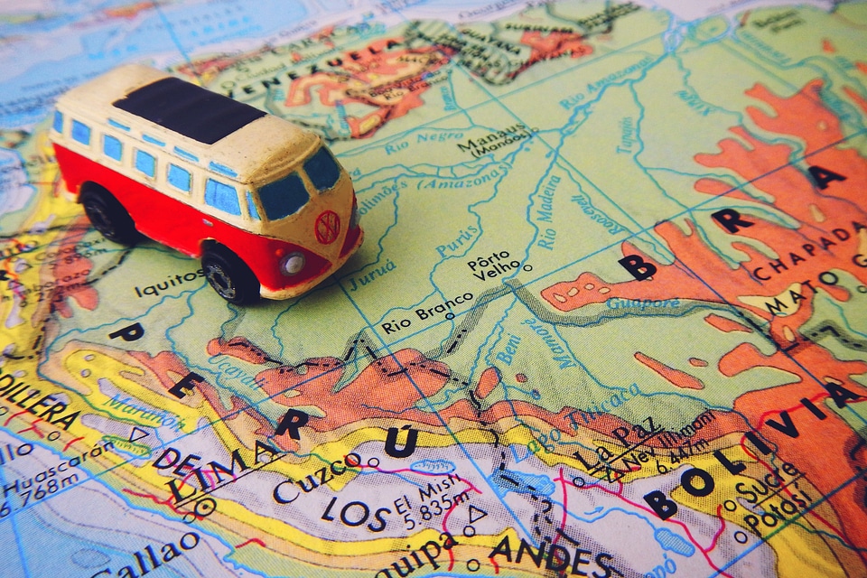
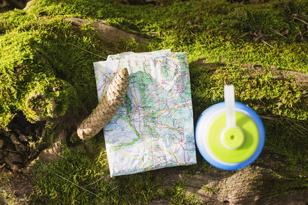
peta
arah
tempat
perjalanan
tempat
jalan setapak
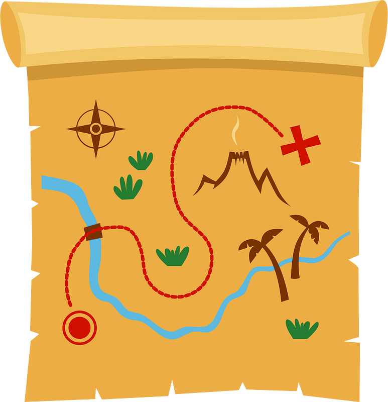
peta harta karun
jalan
jalan berliku
mengeksplorasi
bukti
map
bukti
map
bukti
map
sekolah
objek
harta karun
peta
peta
arah
buku catatan
map
peta
arah
peta
arah
kesehatan masyarakat
obat
peta
arah
peta
peti
peta
arah
mengajukan
pengusaha
map
geografi
objek
mengajukan
pengusaha
navigasi
peta
wanita
gadis
wanita
gadis
wanita
gadis
wanita
gadis
california
geografi
geografi
peta
objek
peta
peta
bumi
peta
daun
objek
peta
portugal
navigasi
peta
peta
bumi
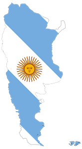
bendera
peta
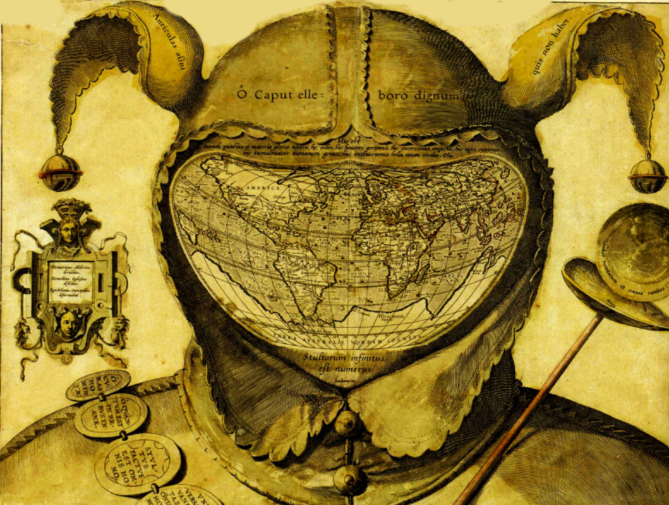
badut
peta
lanskap
peta
logam
peta
hari raya
peta
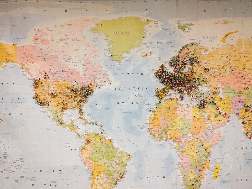
dunia
peta
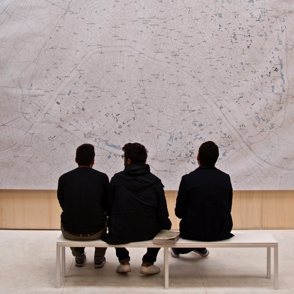
paris
peta
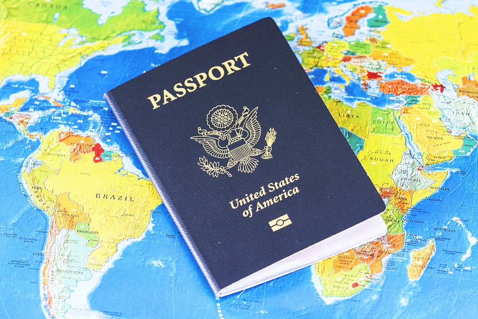
perjalanan
peta
teknologi
map
tangan
map
navigasi
peta
peta
jaka
peta
seni
objek
peta
perjalanan
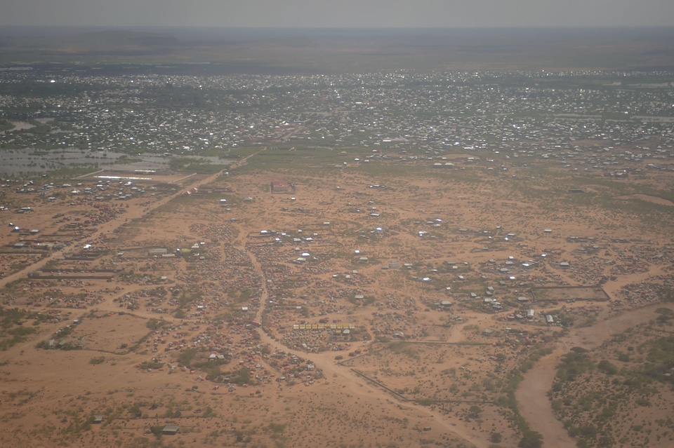
kota
navigasi
peta
navigasi
peta
navigasi
peta
hari raya
peta
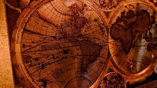
atlas
peta
lanskap
peta
sekolah
peta
atlas
peta
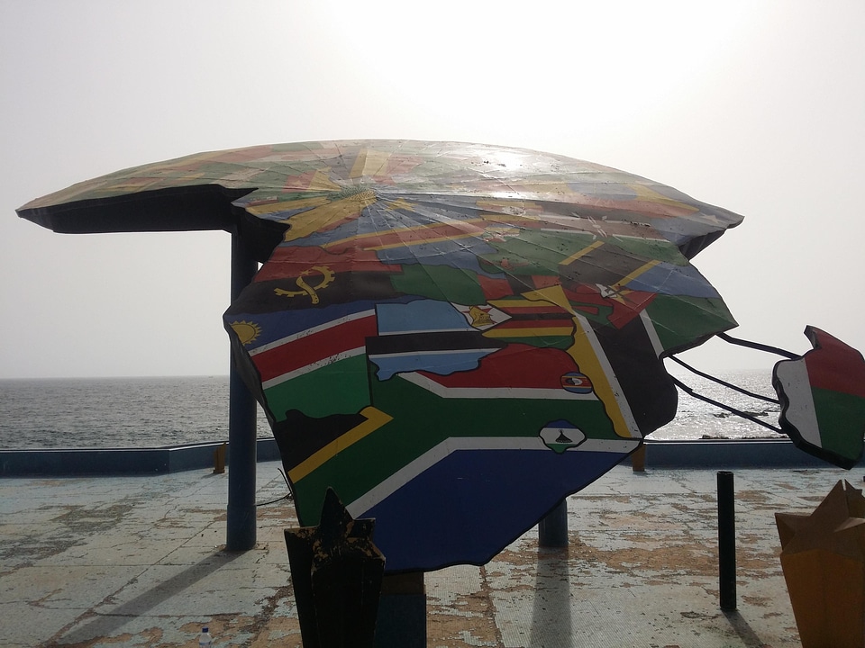
afrika
peta
lanskap
peta
peta
alam
perusahaan bisnis
uang
afrika
peta
afrika
peta
afrika
peta
dunia
peta
hutan
peta
bendera
peta
peta harta karun
harta karun
1 - 100 dari 358.980
Halaman berikutnya
/ 3590


![[Nautical Atlas of the World, called Miller Atlas]; 2-5. [Miller Atlas: sheets 2 to 5]. sheet 5, António de Holanda, 1519](https://cdn.creazilla.com/illustrations/10000850095/nautical-atlas-of-the-world-called-miller-atlas-2-5-miller-atlas-sheets-2-to-5-sheet-5-antnio-de-holanda-1519-sm.webp)