Masuk
Semua sumber daya
Buat desain
Tools
358.980 Gambar gratis untuk Map
peta
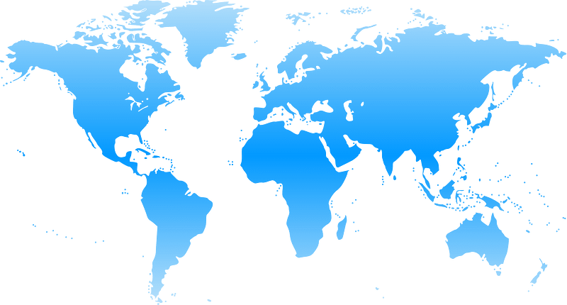
peta dunia
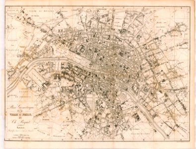
antik
benua
barang antik
peta amerika serikat
bumi
globe
amerika serikat
amerika
peta
bumi
amerika serikat
peta
amerika serikat
peta
benua
peta
peta
pola
benua
peta
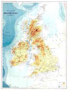
inggris
peta
peta
seni
missouri
peta
peta
peta
peta
peta
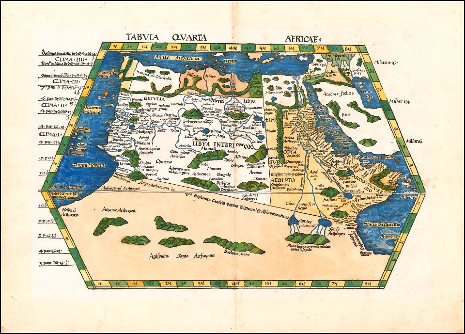
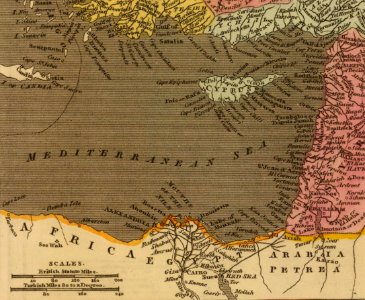
afrika
peta
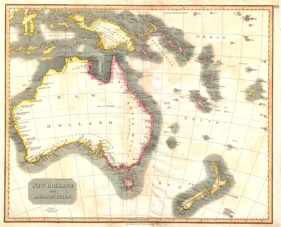
australia
peta
barang antik
peta
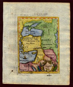
peta dunia
barang antik
peta
antik
peta
antik
peta
ikon
peta
benua
peta
globe
peta
hewan
afrika
peta
arsitektur
warna
kaki langit
perjalanan
3101 - 3200 dari 358.980
Halaman berikutnya
/ 3590