Masuk
Semua sumber daya
Buat desain
358.957 Gambar gratis untuk Map
peta dunia
peta
benua
geografi
globe
dunia
australia
bumi
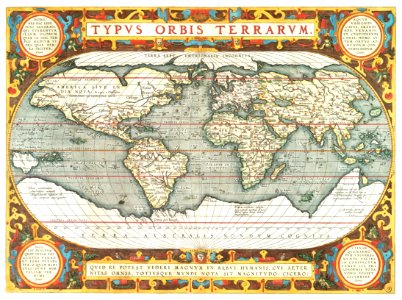
antik
peta dunia
benua
peta dunia
benua
benua
peta
perusahaan bisnis
kuning
australia
peta
australia
peta
globe
peta
amerika serikat
peta
jerman
peta
peta dunia
benua
globe
peta
skotlandia
3201 - 3300 dari 358.957
Halaman berikutnya
/ 3590


![A new map of the world [cartographic material]: from the latest observations (1720) by John Senex.](https://cdn.creazilla.com/illustrations/1940323/a-new-map-of-the-world-cartographic-material-from-the-latest-observations-1720-b-md.jpeg)