Masuk
Semua sumber daya
Buat desain
358.957 Gambar gratis untuk Map
peta
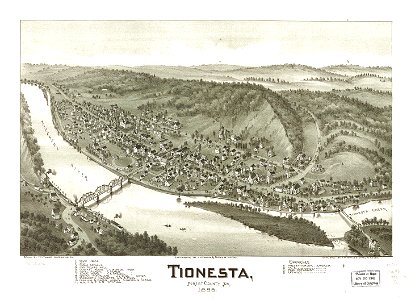
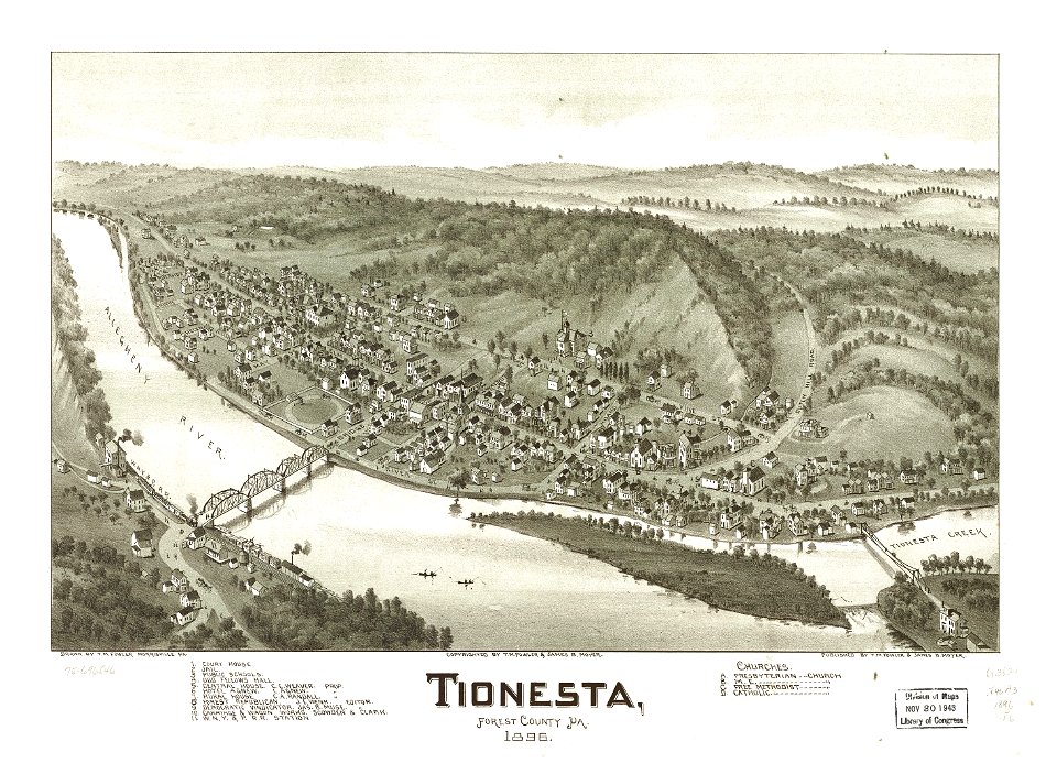
pennsylvania
grafis
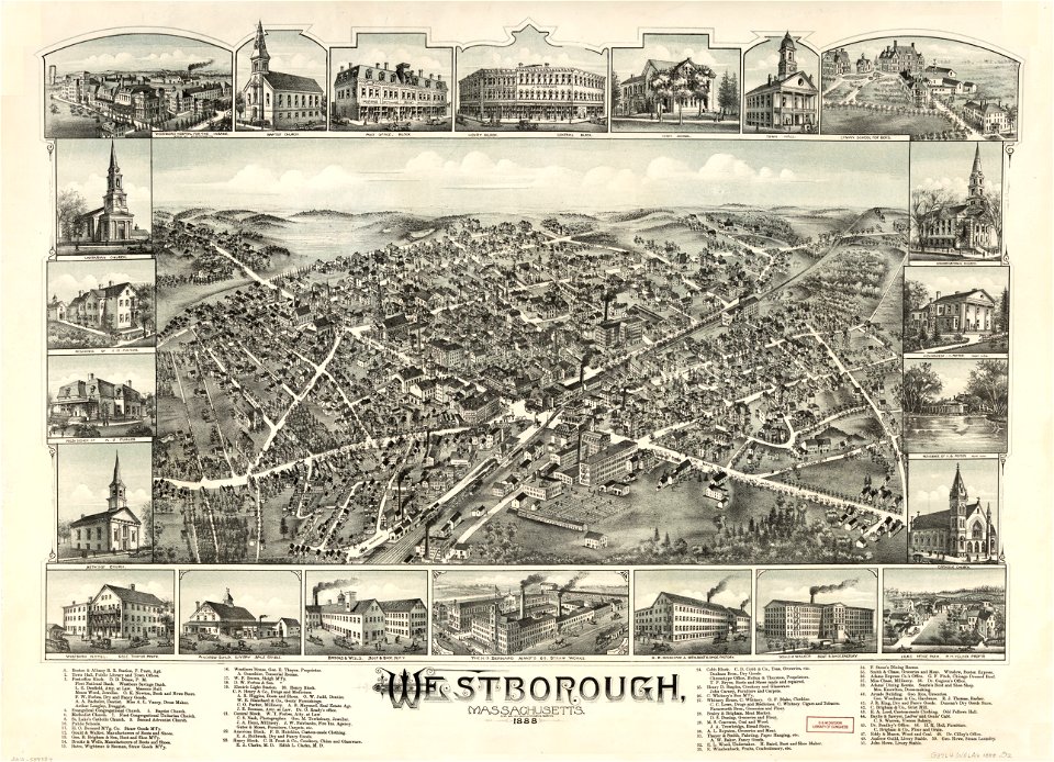
massachusetts
globe
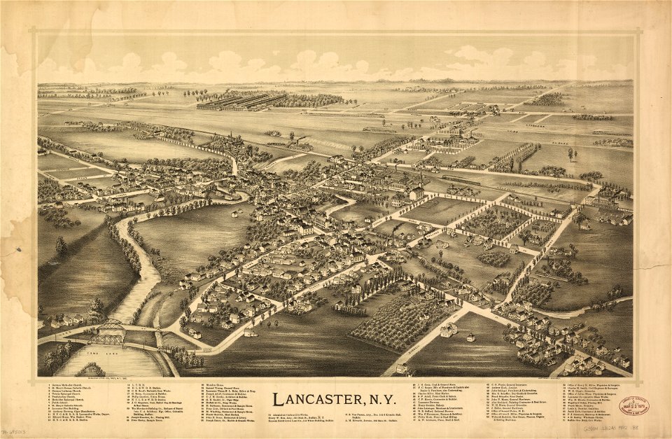
new york
simbol
perjalanan
kota
transportasi
globe
peta
maui
membaca
buku
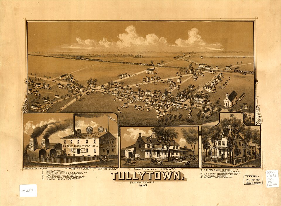
pennsylvania
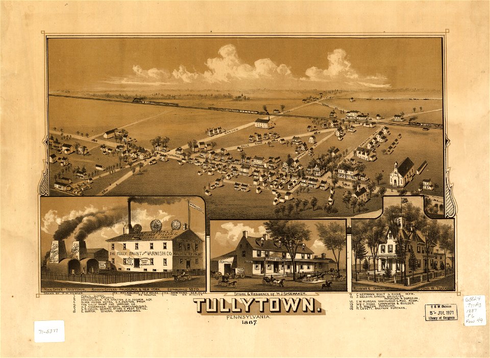
pennsylvania
pennsylvania
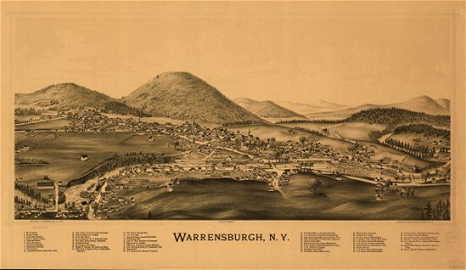
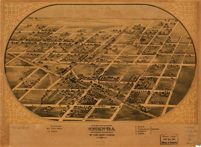
new york
pennsylvania
massachusetts
massachusetts
maine
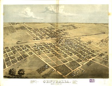
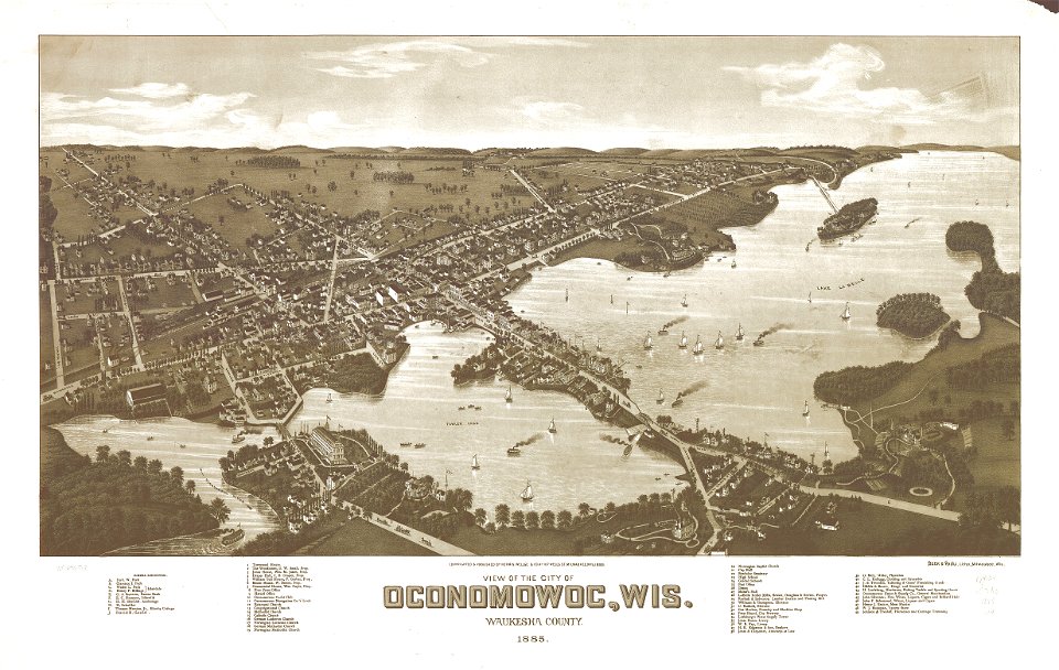
wisconsin
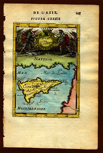
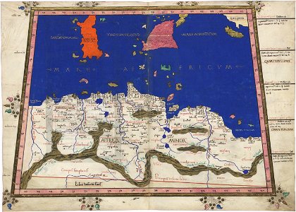
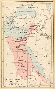
afrika
peta
new york
simbol
ikon
latar belakang
peta
simbol
ikon
illinois
lanskap
peta
massachusetts
pennsylvania
5101 - 5200 dari 358.957
Halaman berikutnya
/ 3590


![Bankoku Jinbutsu no Dzu [Picture of the World and its People] (1825) by Imakajiyamachi Eijudo.](https://cdn.creazilla.com/illustrations/1953419/bankoku-jinbutsu-no-dzu-picture-of-the-world-and-its-people-1825-by-imakajiyamac-md.jpeg)