Masuk
Semua sumber daya
Buat desain
358.957 Gambar gratis untuk Map
peta
massachusetts
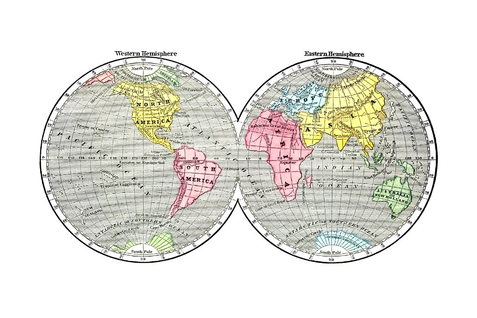
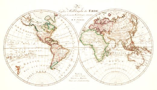
peta dunia
domain publik
bumi
pennsylvania
massachusetts
massachusetts
massachusetts
wisconsin
maine
massachusetts
afrika
peta
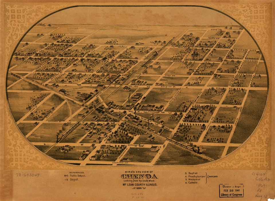
illinois
australia
peta
new york
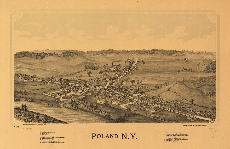
polandia
peta
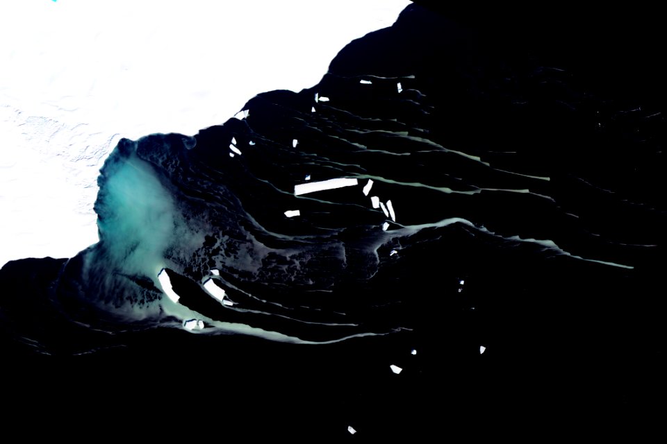
air
peta
peta
peta
benua
peta
peta
peta
peta
peta
5201 - 5300 dari 358.957
Halaman berikutnya
/ 3590