Masuk
Semua sumber daya
Buat desain
358.957 Gambar gratis untuk Map
peta
barang antik
dunia
negara
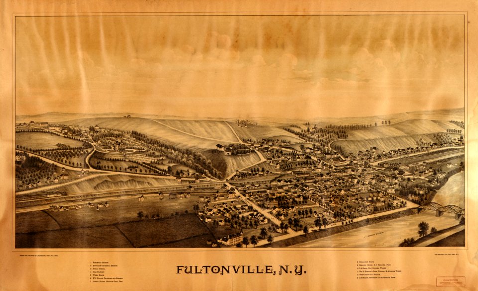
new york
massachusetts
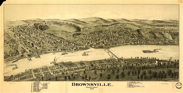
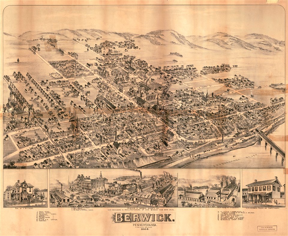
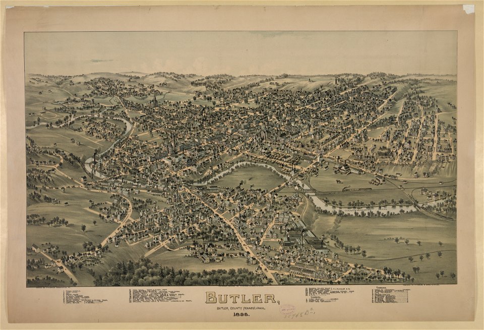
pennsylvania
peta dunia
bumi
negara
peta
air
amerika serikat
peta
negara
peta
hitam
biru
barang antik
peta
new york
hijau
massachusetts
new york
pennsylvania
pennsylvania
kepala pelayan
pennsylvania
massachusetts
massachusetts
wisconsin
colombus
afrika
peta
negara
peta
afrika
peta
peta
peta
benua
peta
peta
kota
abad pertengahan
peta
ilustrasi
peta
geografi
peta
new york
peta
bumi
5301 - 5400 dari 358.957
Halaman berikutnya
/ 3590