Masuk
Semua sumber daya
Buat desain
358.957 Gambar gratis untuk Map
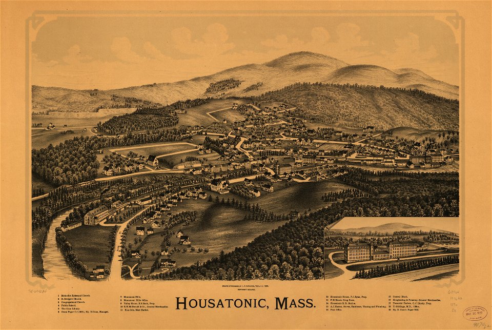
massachusetts
pennsylvania
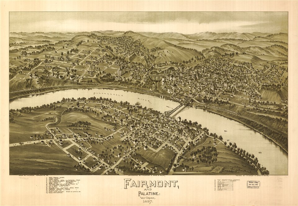
west virginia
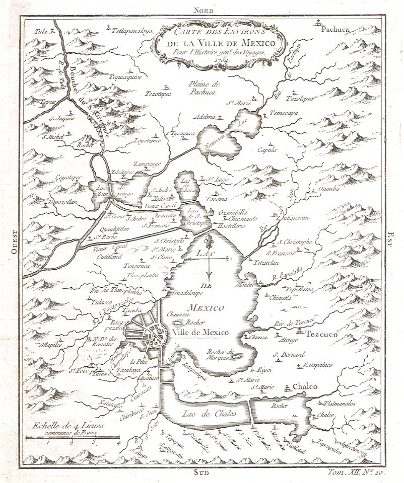
peta
massachusetts
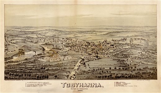
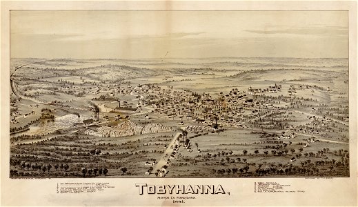
pennsylvania
pennsylvania
west virginia
massachusetts
west virginia
pennsylvania
massachusetts
kuning
peta
peta
laut
meksiko
massachusetts
5401 - 5500 dari 358.957
Halaman berikutnya
/ 3590