Masuk
Semua sumber daya
Buat desain
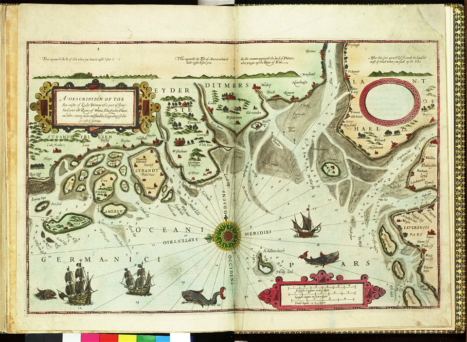
358.957 Gambar gratis untuk Map
arsitektur
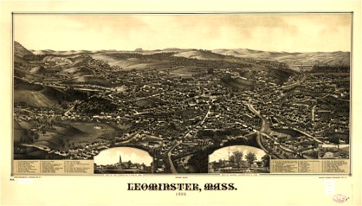
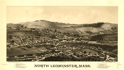
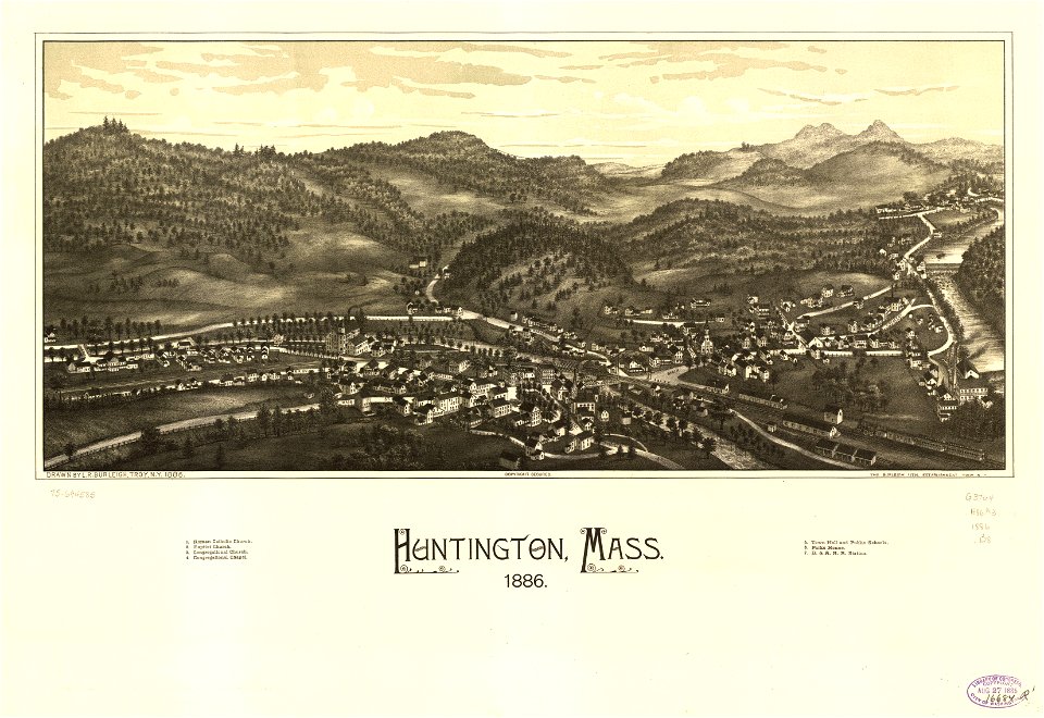
massachusetts
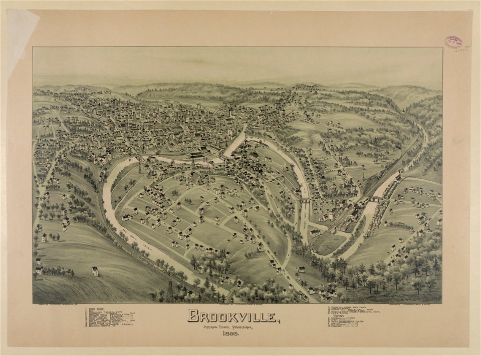
pennsylvania
perusahaan bisnis
biru
kertas
dokumen
simbol
komputer
membuka
massachusetts
pennsylvania
pennsylvania
massachusetts
massachusetts
perusahaan bisnis
biru
simbol
ikon
tempat tinggal
biru
simbol
ikon
perusahaan bisnis
ikon
pria
lup
perahu
kendaraan
air
arsitektur
cahaya
perjalanan
air
arsitektur
orang-orang
lingkaran
kota
emas
ikat pinggang
kaki langit
perjalanan
arsitektur
fasad
stasiun pemadam kebakaran
arsitektur
arsitektur
kendaraan
mobil
orang-orang
bentuk geometris
pola
5501 - 5600 dari 358.957
Halaman berikutnya
/ 3590