Masuk
Semua sumber daya
Buat desain
357.055 Gambar gratis untuk Map
peta
geografi
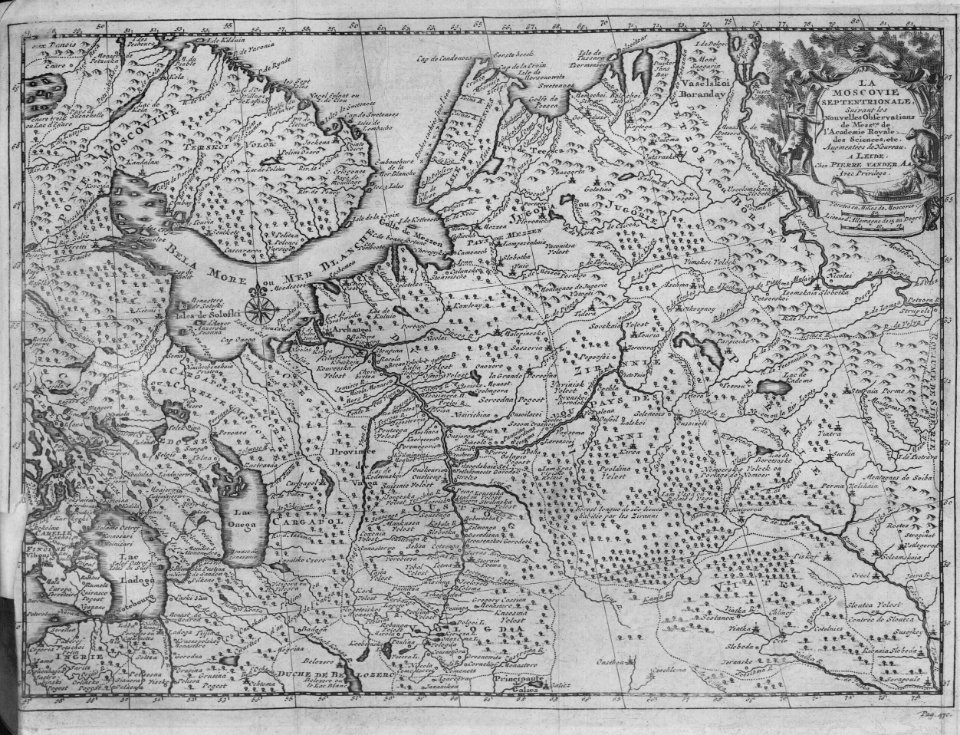
atlas
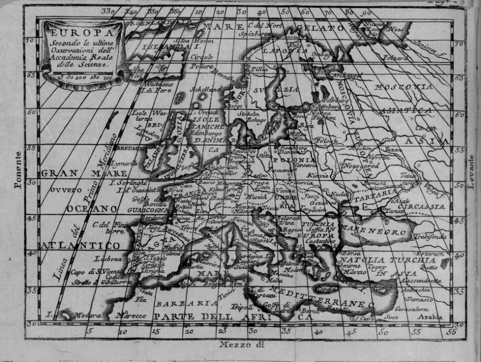
peta
geografi
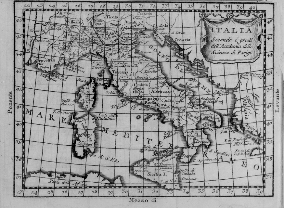
peta
italia
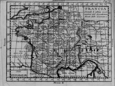
peta
prancis
peta
geografi
peta
geografi
peta
geografi
peta
geografi
peta
geografi
peta
geografi
peta
geografi
peta
atlas
peta
afrika
peta
atlas
peta
atlas
peta
skotlandia
new york
hijau
7201 - 7300 dari 357.055
Halaman berikutnya
/ 3571