Masuk
Semua sumber daya
Buat desain
357.055 Gambar gratis untuk Map
pennsylvania
peta
amerika serikat
amerika serikat
siluet
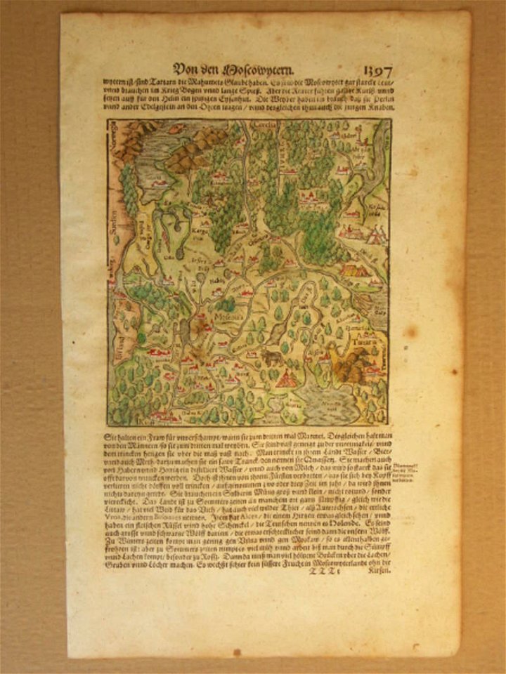
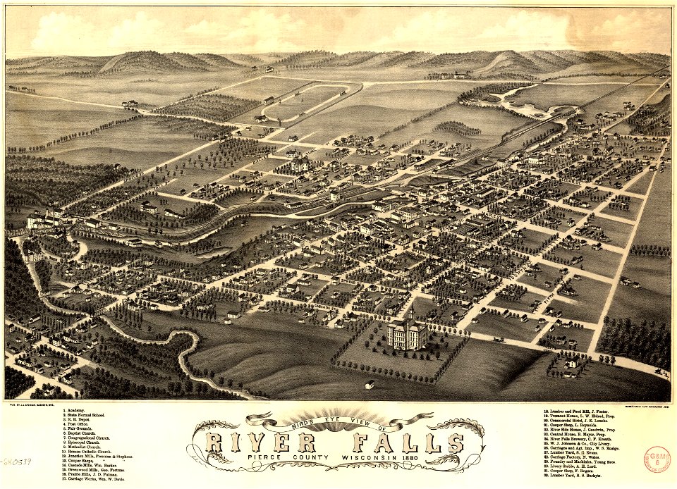
wisconsin
wisconsin
pennsylvania
wisconsin
pennsylvania
pennsylvania
pennsylvania
pennsylvania
pennsylvania
pennsylvania
massachusetts
pennsylvania
pennsylvania
pennsylvania
pennsylvania
pennsylvania
pennsylvania
pennsylvania
florida
harta karun
peta
amerika serikat
peta
amerika serikat
peta
amerika serikat
peta
sungai
peta
ikon
peta
7401 - 7500 dari 357.055
Halaman berikutnya
/ 3571