Accedi
Tutte le risorse
Creare un design
1.830 Immagini gratuite per Satellite
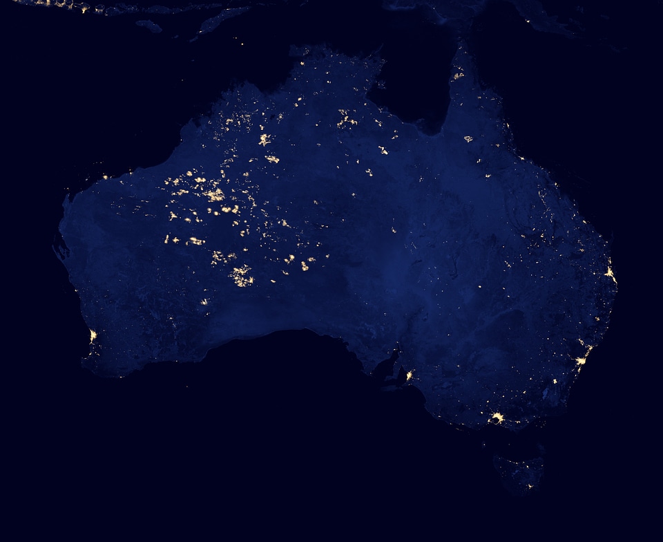
notte
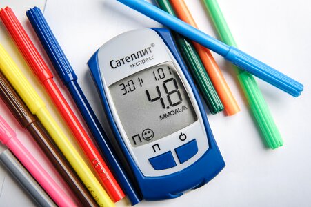
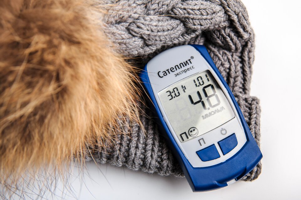
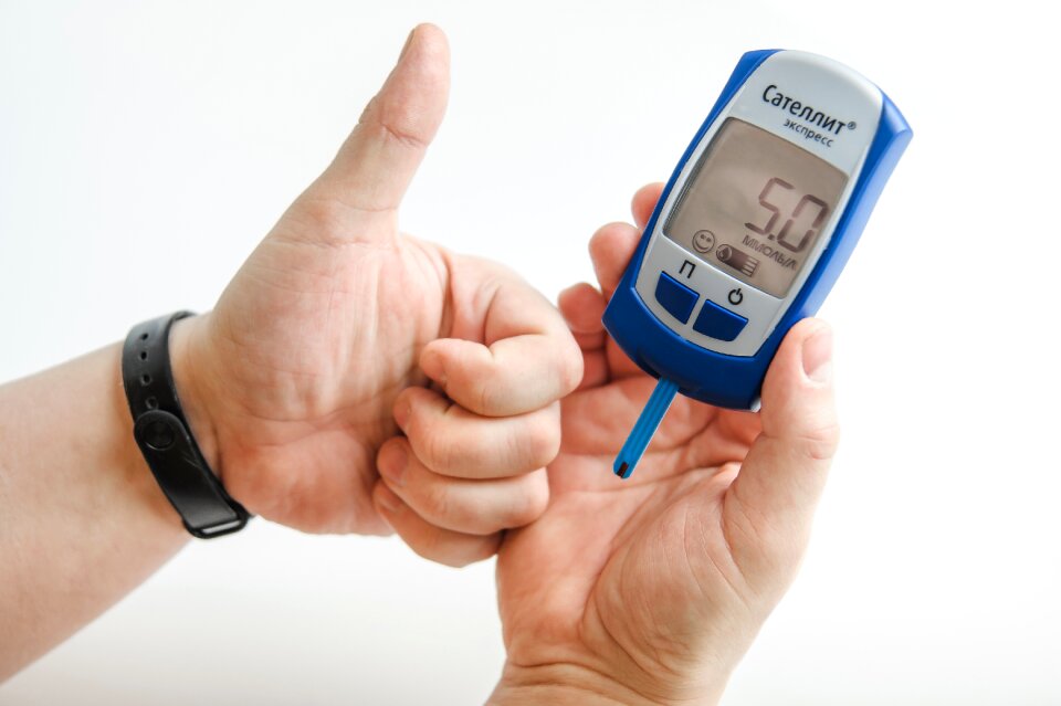
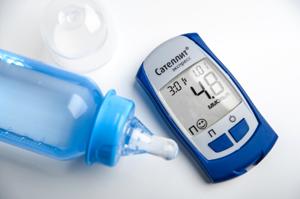
diabete mellito
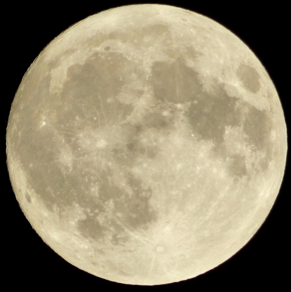
luna
cielo
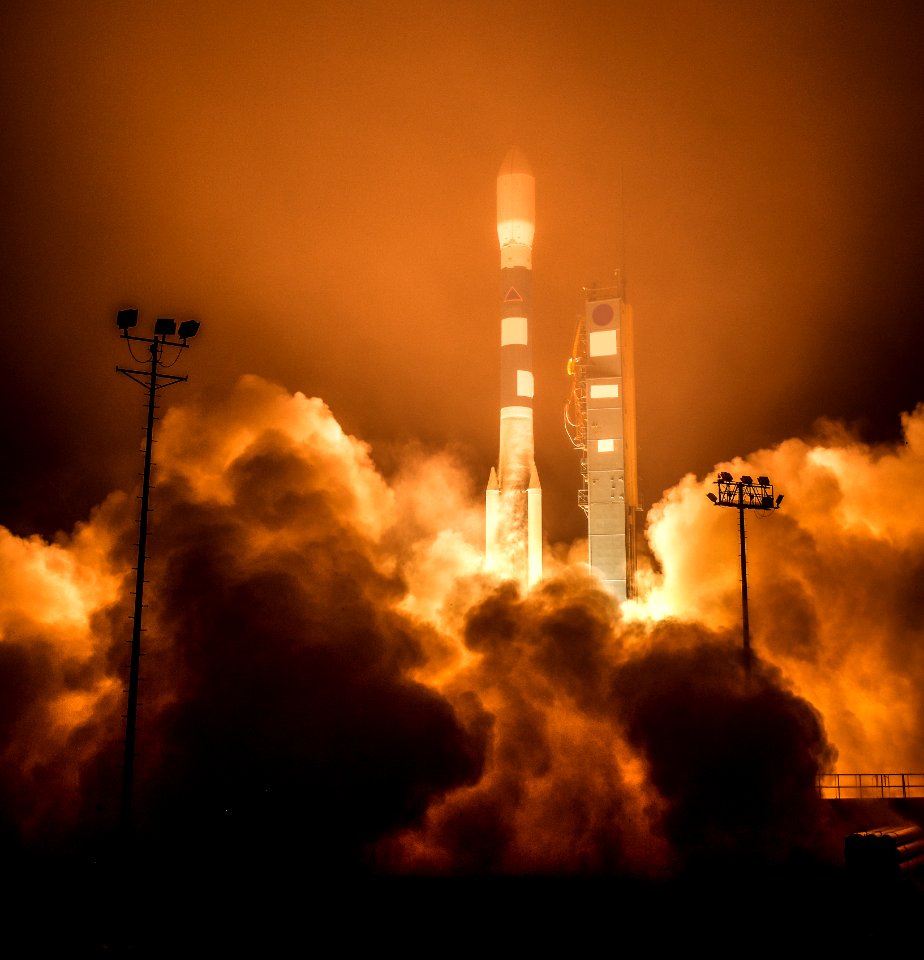
spazio
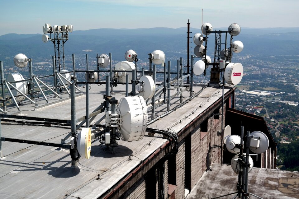
tecnologia
pianeta
circonferenza
veicolo
nero
cottura
lavoro
circonferenza
nero
pianeta
luna
luna
blu
pianeta
luna
veicolo
aerei
spazio
piatto
diabete mellito
gravidanza
pianeta
luna
pianeta
luna
pianeta
luna
trasmissione
diabete mellito
autovettura
veicolo
energia
nuvole
aeronautica militare
aerei
esercito
militare
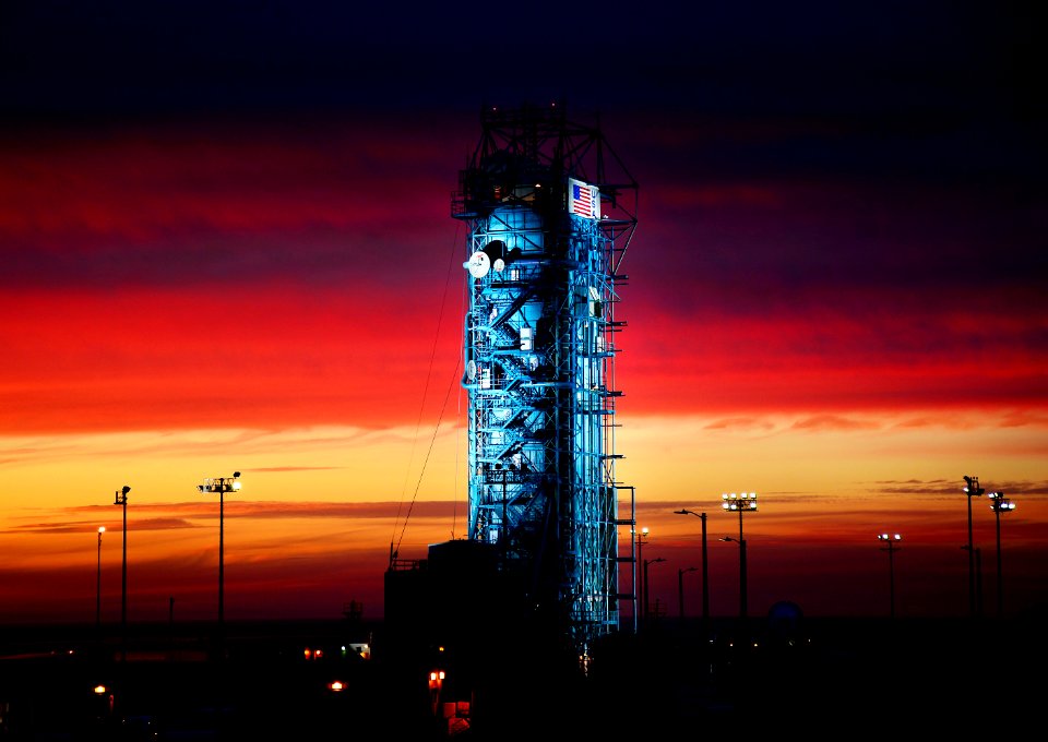
tramonto
luce
diabete mellito
inverno
neve
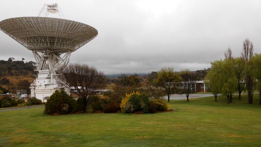
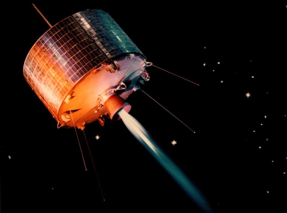
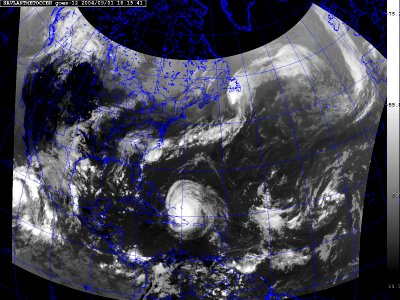
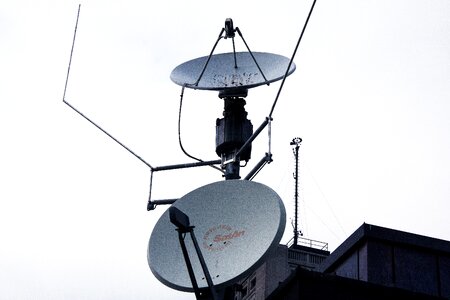
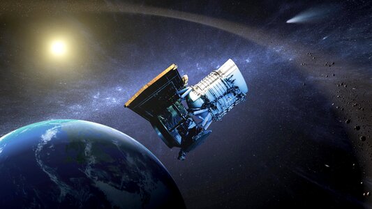
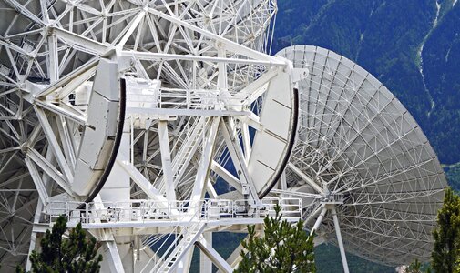
satellite
satellite
scienza
mappe
circonferenza
evento
circonferenza
sedia
veicolo
aerei
metallo
arte
astronauta
spazio
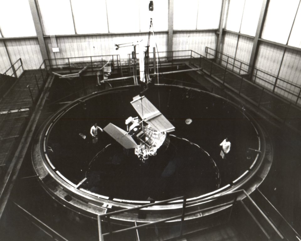
satellite
satellite
satellite
satellite
diabete mellito
nuoto
diabete mellito
zucchero
architettura
edificio
villaggio
spazio
cielo
blu
diabete mellito
pancake
autovettura
veicolo
natura
luna
astronomia
spazio
simbolo
spazio
edificio
nero
astronomia
spazio
cielo
erba
montagna
cielo
diabete mellito
dieta
animali
insetti
piano
onda marina
acqua
tecnologia
medicina
berretto
inverno
tecnologia
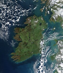
terra
attrezzatura
mano
nero
arte
televisione
segnale
televisione
segnale
spazio
mappe
pianeta
spazio
diabete mellito
rosa
tecnologia
terra
energia
terra
tecnologia
militare
tecnologia
scienza
profili di città
città
veicolo
aerei
circonferenza
cottura
tecnologia
blu
pianeta
luna
misurazione
bottiglia
diabete mellito
spazio
luna
tecnologia
metallo
elettronica
tecnologia
paesaggio
natura
crociera
nave
architettura
viaggio
notte
astronauta
casco
veicolo
terra
edificio
nero
architettura
nero
circonferenza
vetro
tecnologia
industria
301 - 400 di 1.830
Pagina successiva
/ 19