Accedi
Tutte le risorse
Creare un design
1.830 Immagini gratuite per Satellite
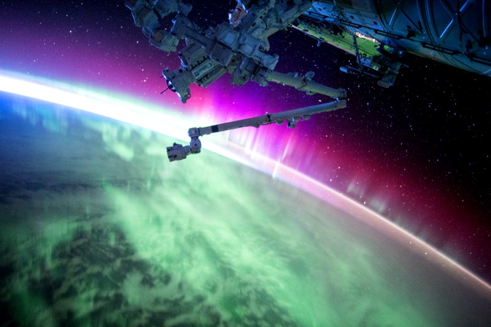
spazio
astronomia
pianeta
veicolo
cielo
notte
aerei
terra
luna
tecnologia
astronomia
terra
elettronica
tecnologia
elettronica
tecnologia
veicolo
aerei
veicolo
pianeta
pianeta
spazio
hamburger
cibo
pianeta
spazio
ping pong
palla
astronomia
pianeta
nuvole
piuma
frutta
mele
spazio
mappe
oceano
mappe
astronomia
spazio
tecnologia
industria
pianeta
spazio
penna
mano
pianeta
luna
televisione
televisione
veicolo
razzo
artista
aerei
edificio
aerei
veicolo
nave
ricezione
tecnologia
città
satellite
spazio
veicolo
città
barca
nave
paesaggio
natura
astronomia
veicolo
satellite
luna
inverno
freddo
astronomia
spazio
comunicazione
satellite
muro di mattoni
segnale
torre
tecnologia
scienza
scienza
pianeta
segnale
rete
autovettura
veicolo
pianeta
spazio
astronomia
spazio
rapporto di lavoro
persone
circonferenza
nuvole
veicolo
scienza
tecnologia
scienza
astronomia
pianeta
natura
acqua
inghilterra
mappe
brasile
mappe
pianeta
spazio
satellite
stencil
montagna
spazio
pianeta
spazio
continente
mappe
giallo
luna
inverno
natura
muro di mattoni
cielo blu
stati uniti
spazio
autovettura
veicolo
università
spazio
tecnico
cavo
internet
blu
ghiaccio
inverno
tecnologia
scienza
metallo
spazio
razzo
autovettura
veicolo
fotocamera
sedia
401 - 500 di 1.830
Pagina successiva
/ 19