Accedi
Tutte le risorse
Creare un design
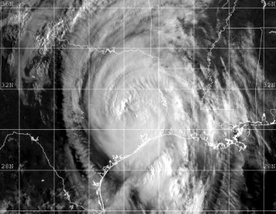
1.830 Immagini gratuite per Satellite
spazio
pianeta
astronomia
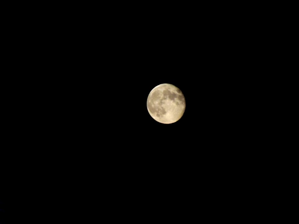
luna
cielo
notte
tecnologia
stella
scienza
comunicazione
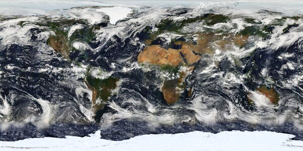
pianeta
spazio
inverno
neve
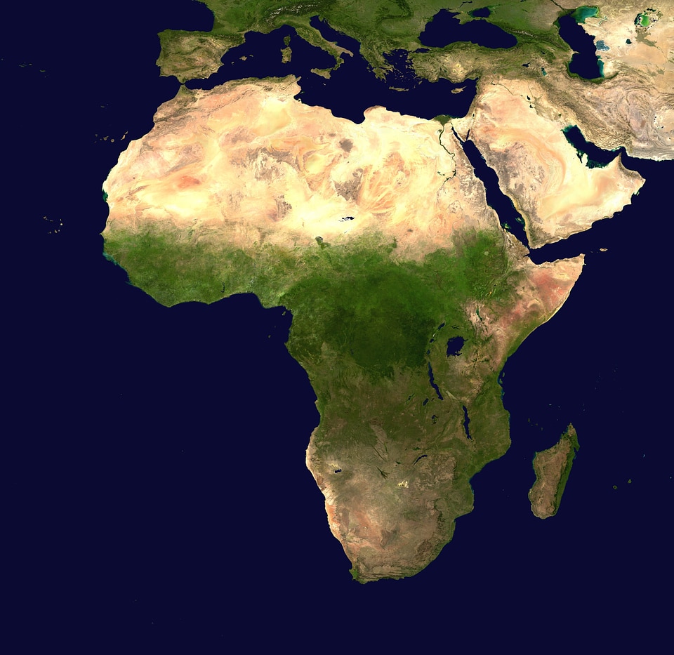
africa
mappe
tecnologia
scienza
inverno
onda marina
erba
paesaggio
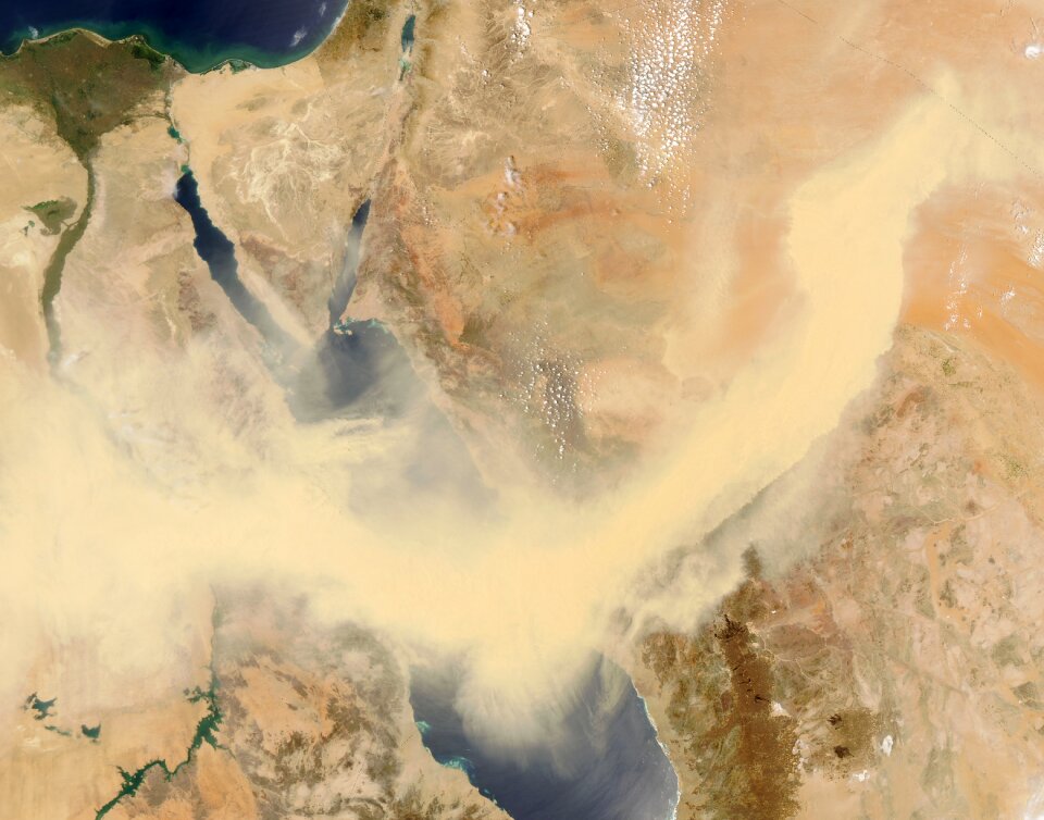
mappe
egitto
veicolo
giallo
astronomia
spazio
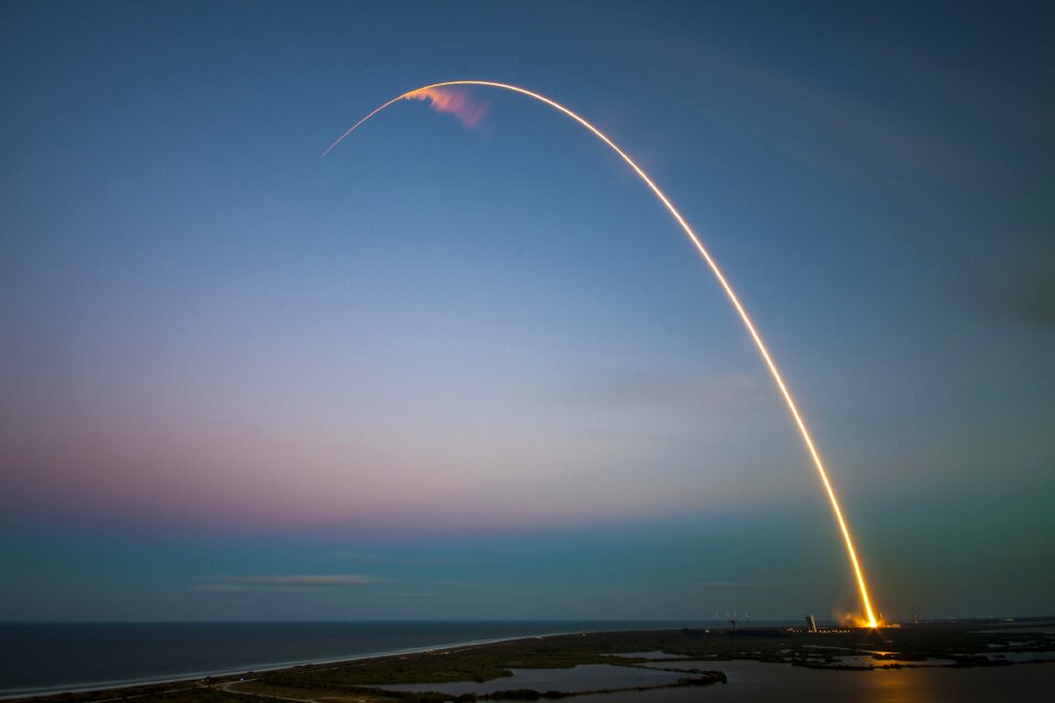
spazio
razzo
spazio
mappe
tecnologia
scienza
paesaggio
natura
inverno
tecnologia
scienza
autovettura
veicolo
luna
blu
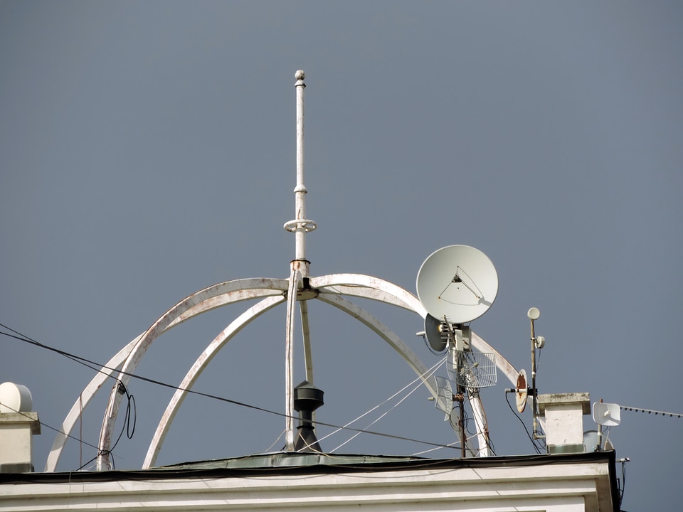
satellite
ciotola
tecnologia
satellite
satellite
razzo
inverno
freddo
villaggio
città
pianeta
spazio
cielo
luna
scienza
natura
sfondo
spazio
mappe
acqua
mossa
luna
satellite
spazio
spazio
rete
diabete mellito
astronomia
natura
xenomorfo
satellite
astronomia
pianeta
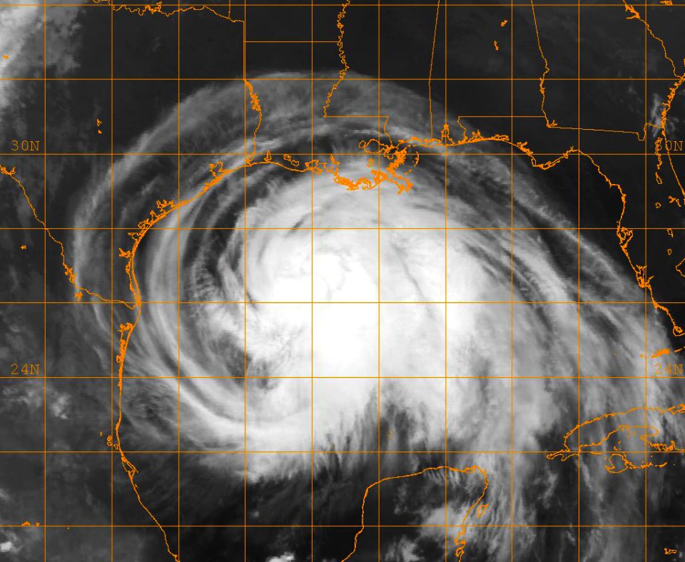
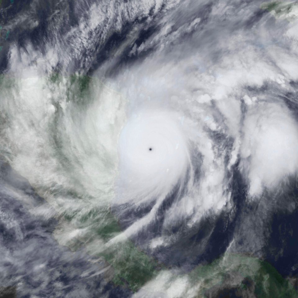
pioggia
nuvole
architettura
nuvole
astronomia
persone
pianeta
luna
diabete mellito
caffè
luna
metà
pianeta
spazio
pianeta
luna
scienza
spazio
diabete mellito
zucchero
astronomia
spazio
cielo
luna
pianeta
spazio
pianeta
spazio
tecnologia
veicolo
astronomia
pianeta
edificio
albero
elettronica
tecnologia
torre
casa
cielo
nero
televisione
televisione
televisione
televisione
pianeta
spazio
pianeta
spazio
pianeta
spazio
tecnologia
nuvole
cibo
mele
pianeta
luna
segnale
radio
pianeta
luna
traffico
scienza
spazio
pianeta
spazio
astronomia
spazio
satellite
luna
satellite
spazio
pianeta
luna
astronomia
luna
pianeta
spazio
satellite
spazio
onda marina
tecnologia
edificio
tecnologia
paesaggio
bianco e nero
monocromo
televisione
televisione
501 - 600 di 1.830
Pagina successiva
/ 19