Accedi
Tutte le risorse
Creare un design
1.830 Immagini gratuite per Satellite
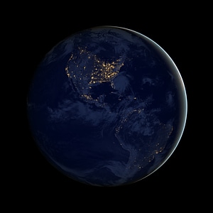
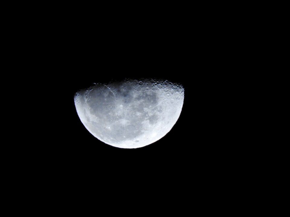
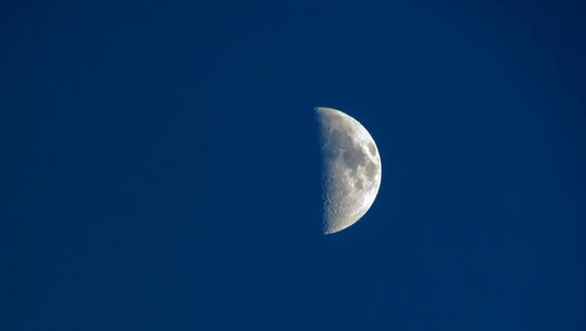
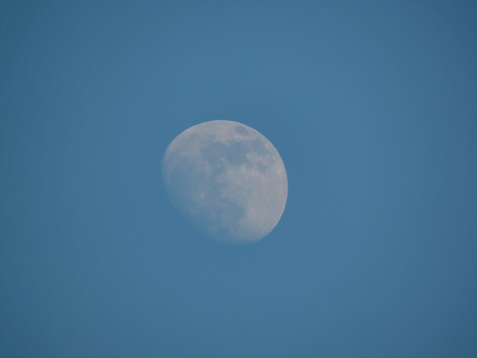
notte
cielo
luna
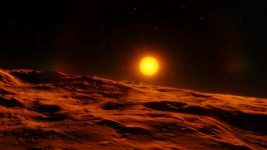
spazio
pianeta
astronomia
luce
buio
bianco e nero
natura
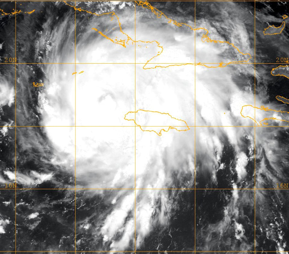
satellite
spazio
astronomia
spazio
pianeta
spazio
scienza
spazio
tecnologia
nuvole
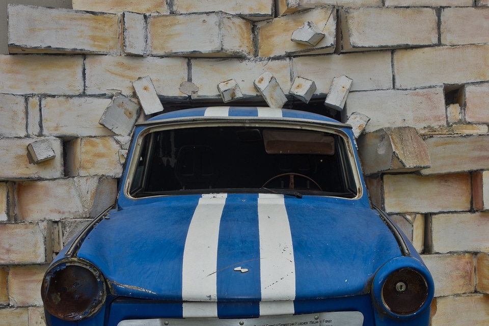
autovettura
rétro
bianco e nero
monocromo
nuvole
blu
cibo
vino
villaggio
casa
pianeta
luna
natura
spazio
bianco e nero
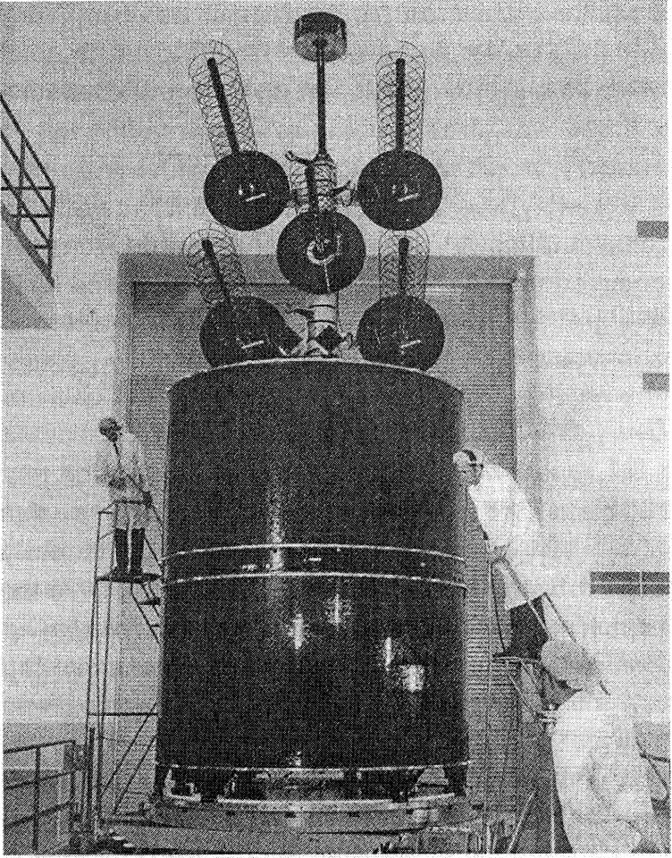
tecnologia
industria
galassia
pianeta
pianeta
spazio
astronomia
luna
pianeta
natura
architettura
casa
natura
spazio
pianeta
spazio
elettronica
tecnologia
attrezzatura
tecnologia
giappone
luna
pianeta
luna
edificio
modello
piano
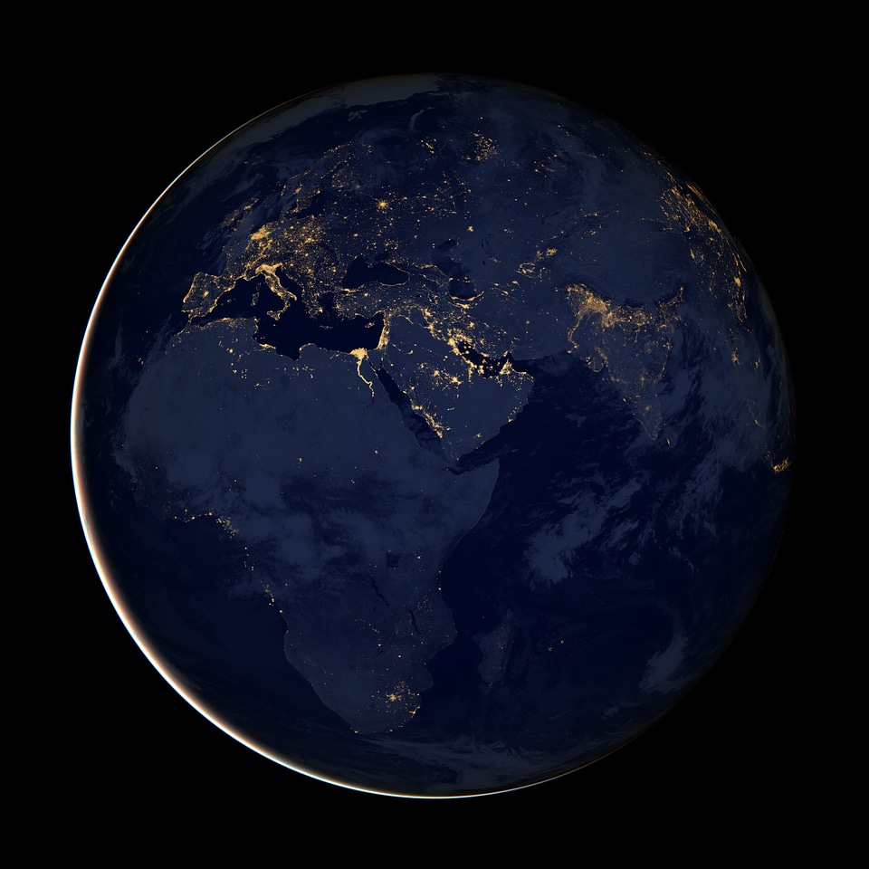
pianeta
terra
astronomia
spazio
trasporti aerei
aerei
astronomia
pianeta
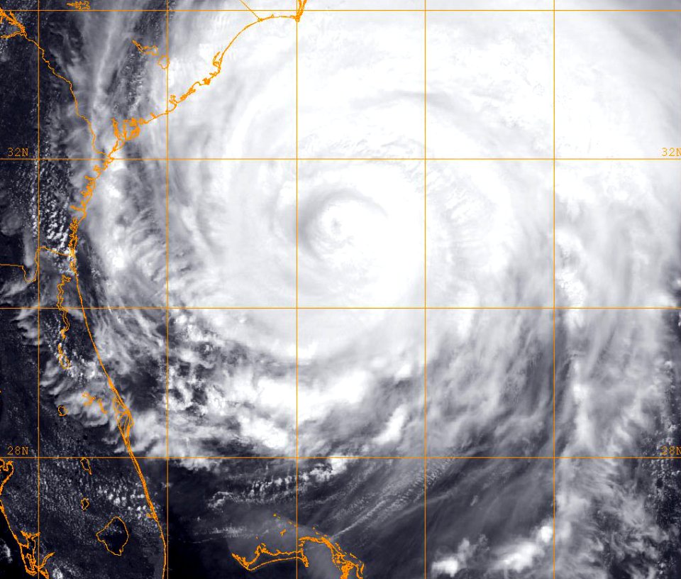
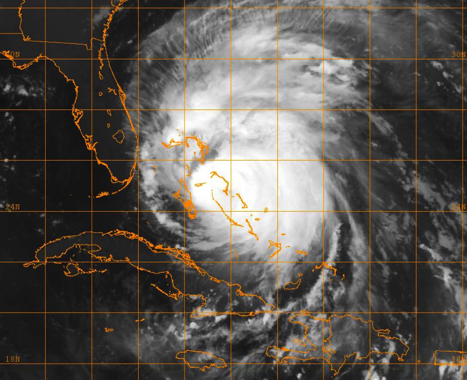
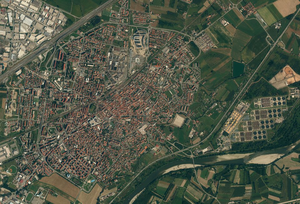
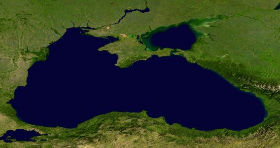
mappe
mare
pianeta
spazio
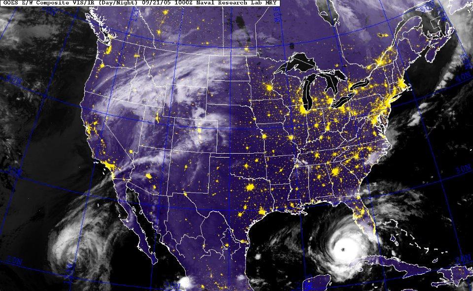
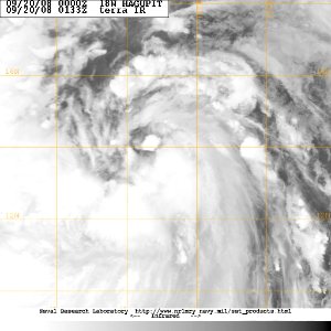
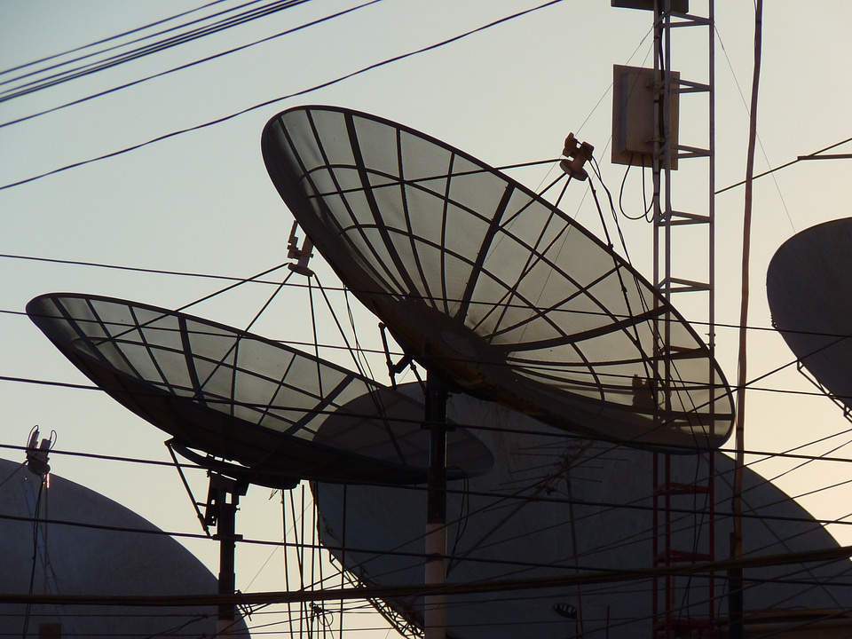
televisione
copertura
bianco e nero
monocromo
inverno
acqua
deserto
terra
mappe
mare
pianeta
spazio
natura
spazio
animali
bianco e nero
monocromo
nuvole
casa
astronomia
spazio
televisione
copertura
bianco e nero
monocromo
pianeta
spazio
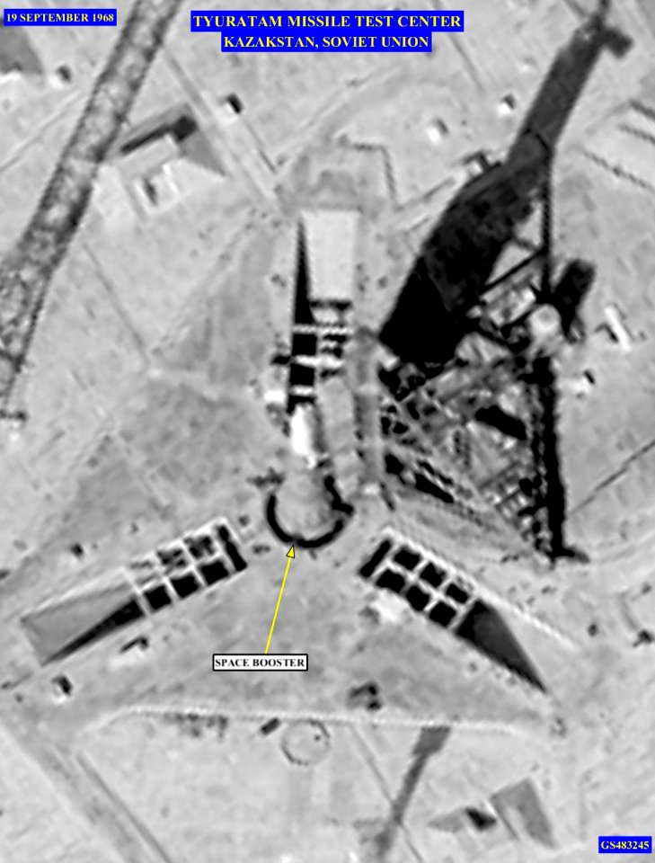
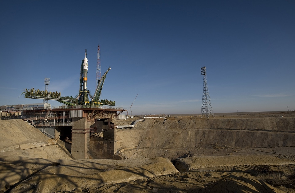
volare
razzo
volare
razzo
africa
spazio
tecnologia
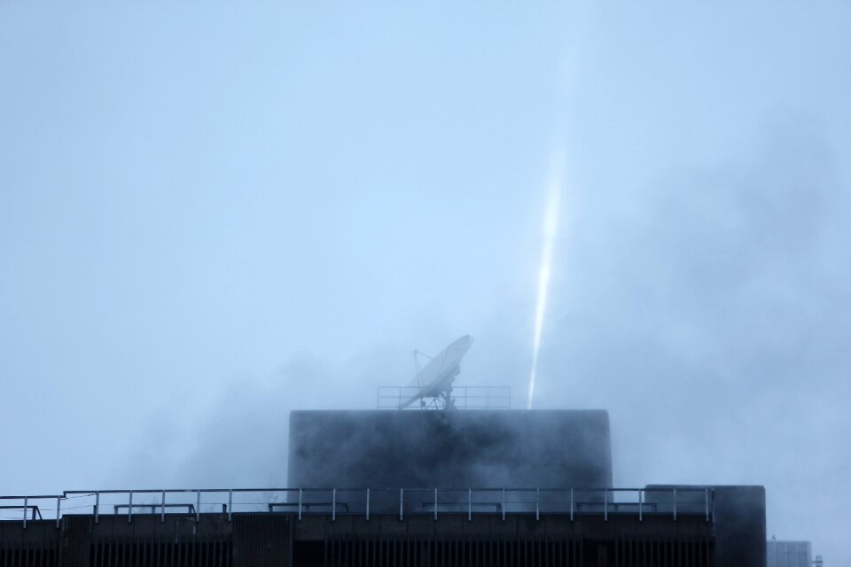
radio
autovettura
scultura
primavera
natura
luce
buio
san francisco
acqua
cielo
luna
pianeta
spazio
spazio
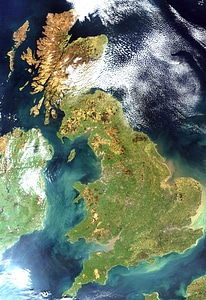
mappe
inghilterra
irlanda
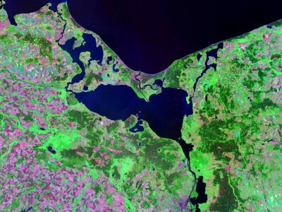
mappe
terra
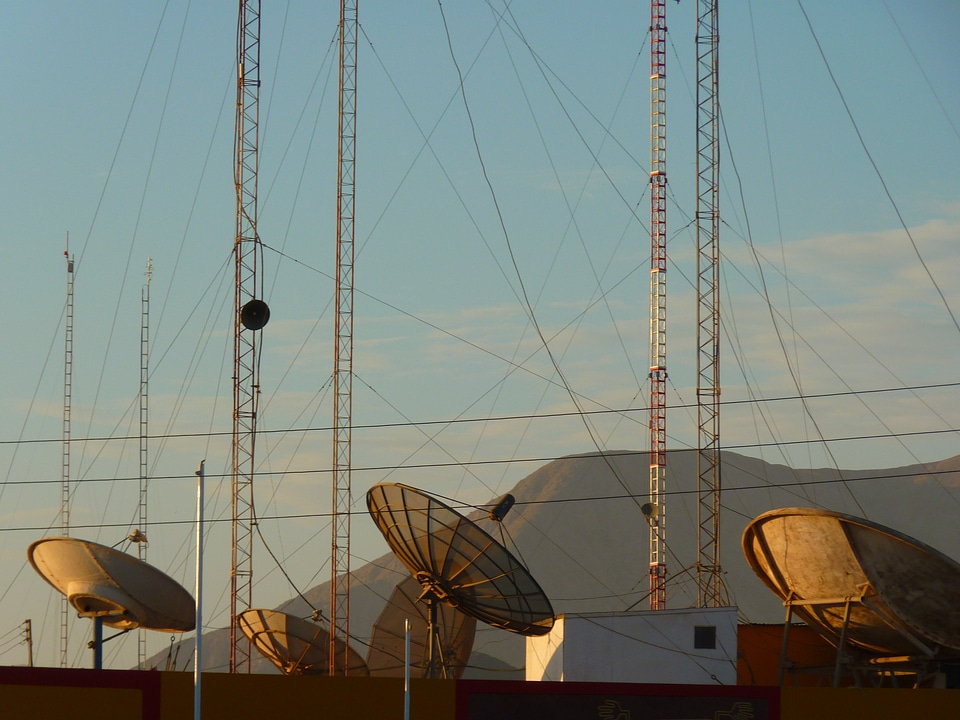
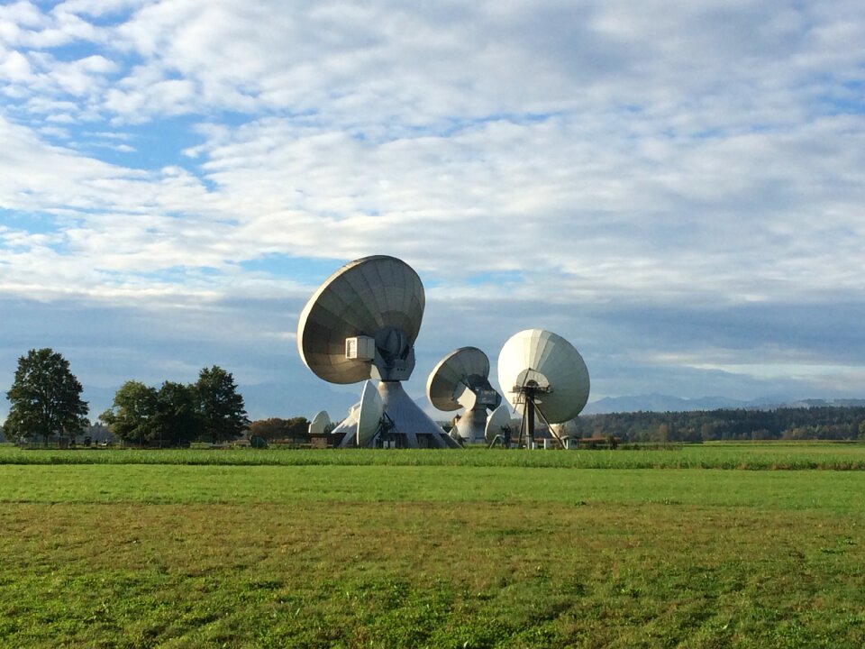
tecnologia
radio
telescopio
radar
paesaggio
natura
caduta
bianco e nero
monocromo
montagna
mappe
natura
luna
pianeta
luna
601 - 700 di 1.830
Pagina successiva
/ 19