Accedi
Tutte le risorse
Creare un design
Tools
20.175 Immagini gratuite per Speciale
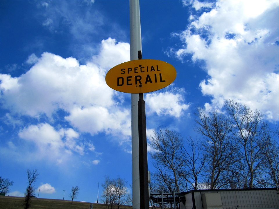
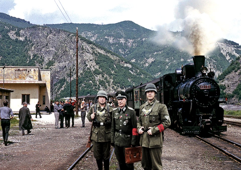
veicolo
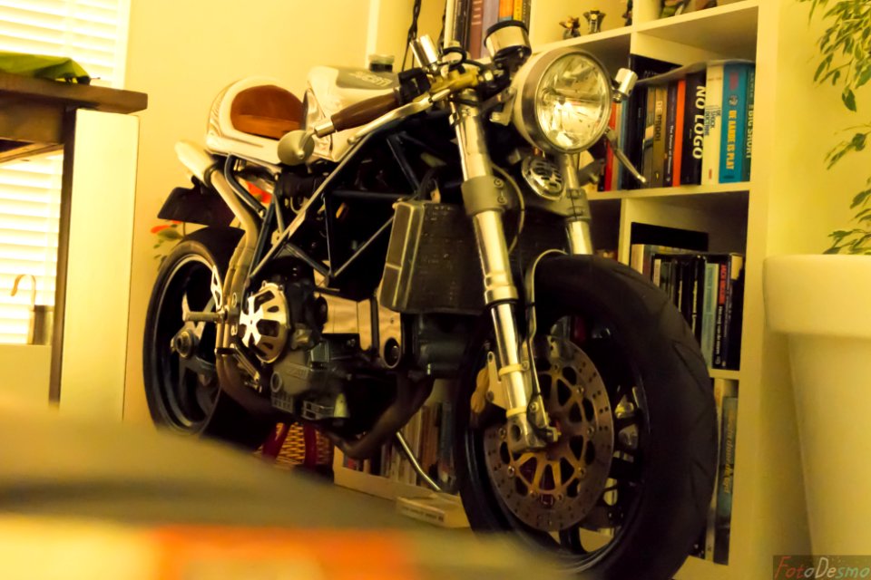
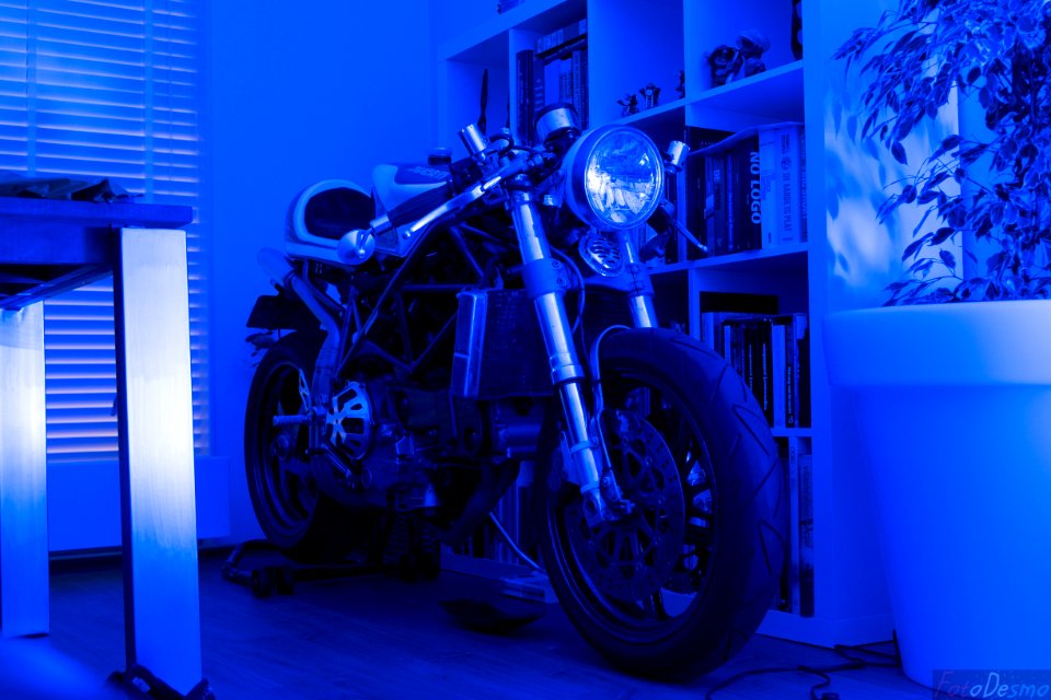
motocicletta
storia
storico
aerei
schiaffo
inghilterra
veicolo
fogliame
foglie
canada
motocicletta
veicolo
stati uniti
riflessione
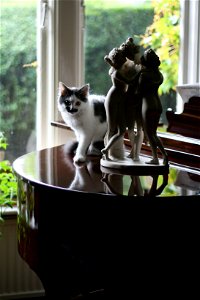
pianoforte
storico
storia
veicolo
aerei
militare
veicolo
ristorante
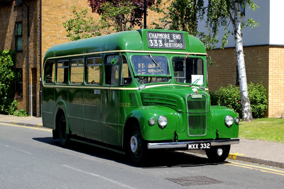
londra
storico
storia
personaggi
persone
motocicletta
blu
6701 - 6800 di 20.175
Pagina successiva
/ 202


![Purmer: the Purmer was measured in 1622 by Mr. Lucas Iansz Zinck, surveyor, and was revised and brought to light in 1683 by Ioannes Leupenius, surveyor., Johannes Leupenius, [1683]](https://cdn.creazilla.com/illustrations/10001559429/purmer-the-purmer-was-measured-in-1622-by-mr-lucas-iansz-zinck-surveyor-and-was-revised-and-brought-to-light-in-1683-by-ioannes-leupenius-surveyor-johannes-leupenius-1683-md.jpg)
![Purmer: the Purmer was measured in 1622 by Mr. Lucas Iansz Zinck surveyor, and newly reviewed, improved and brought to light in 1683 by Ioannes Leupenius surveyor, Johannes Leupenius, [1683]](https://cdn.creazilla.com/illustrations/10000760667/purmer-the-purmer-was-measured-in-1622-by-mr-lucas-iansz-zinck-surveyor-and-newly-reviewed-improved-and-brought-to-light-in-1683-by-ioannes-leupenius-surveyor-johannes-leupenius-1683-md.jpg)
![Map of Ceylon - European Colonial Establishments, Jakob van der Schley, [1750]](https://cdn.creazilla.com/illustrations/10000562848/map-of-ceylon-european-colonial-establishments-jakob-van-der-schley-1750-sm.webp)


![Map of the Ring of Putten, Gilliam van der Gouwen, [1701]](https://cdn.creazilla.com/illustrations/10001413820/map-of-the-ring-of-putten-gilliam-van-der-gouwen-1701-md.jpg)
![Kennemerland Water Board Map - Rijnland Water Board, Hendrik de Leth, [1729]](https://cdn.creazilla.com/illustrations/10000978808/kennemerland-water-board-map-rijnland-water-board-hendrik-de-leth-1729-md.jpg)
![Kennemerland Water Board Map - Rijnland Water Board, Hendrik de Leth, [1729]](https://cdn.creazilla.com/illustrations/10000704117/kennemerland-water-board-map-rijnland-water-board-hendrik-de-leth-1729-md.jpg)
![Kennemerland Water Board Map - Rijnland Water Board, Hendrik de Leth, [1729]](https://cdn.creazilla.com/illustrations/10001356914/kennemerland-water-board-map-rijnland-water-board-hendrik-de-leth-1729-md.jpg)
![Kennemerland Water Board Map - Rijnland Water Board, Hendrik de Leth, [1729]](https://cdn.creazilla.com/illustrations/10001456497/kennemerland-water-board-map-rijnland-water-board-hendrik-de-leth-1729-md.jpg)
![Kennemerland Water Board Map - Rijnland Water Board, Hendrik de Leth, [1729]](https://cdn.creazilla.com/illustrations/10000405711/kennemerland-water-board-map-rijnland-water-board-hendrik-de-leth-1729-sm.jpg)