Accedi
Tutte le risorse
Creare un design
Tools
20.175 Immagini gratuite per Speciale
isola di hawaii
stati uniti
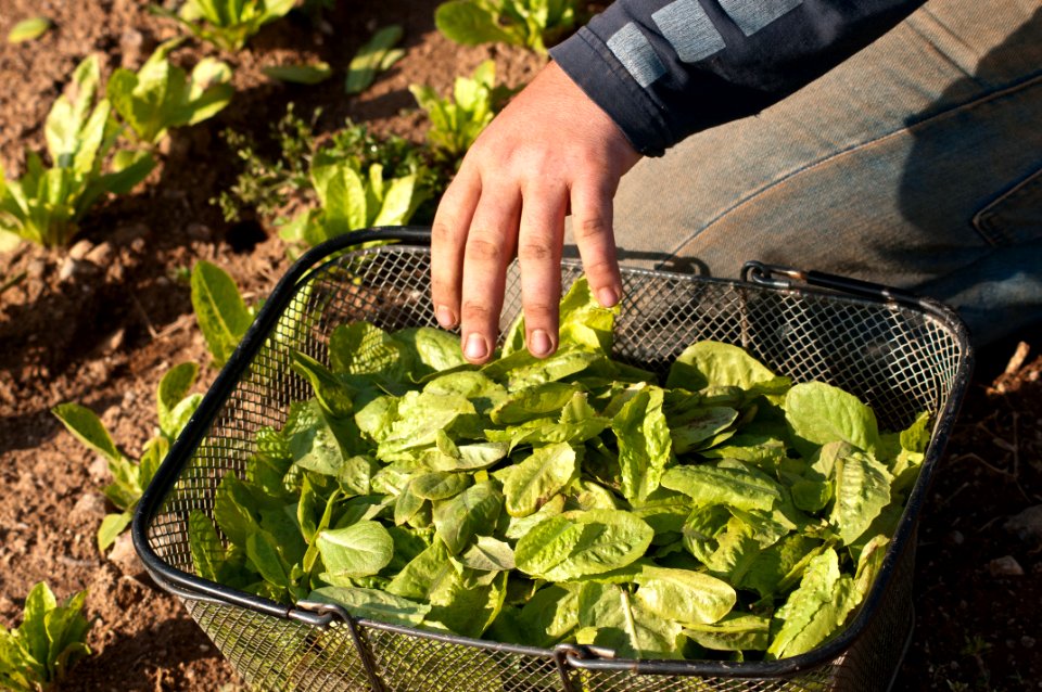
lattuga
farmaco
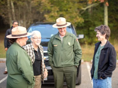
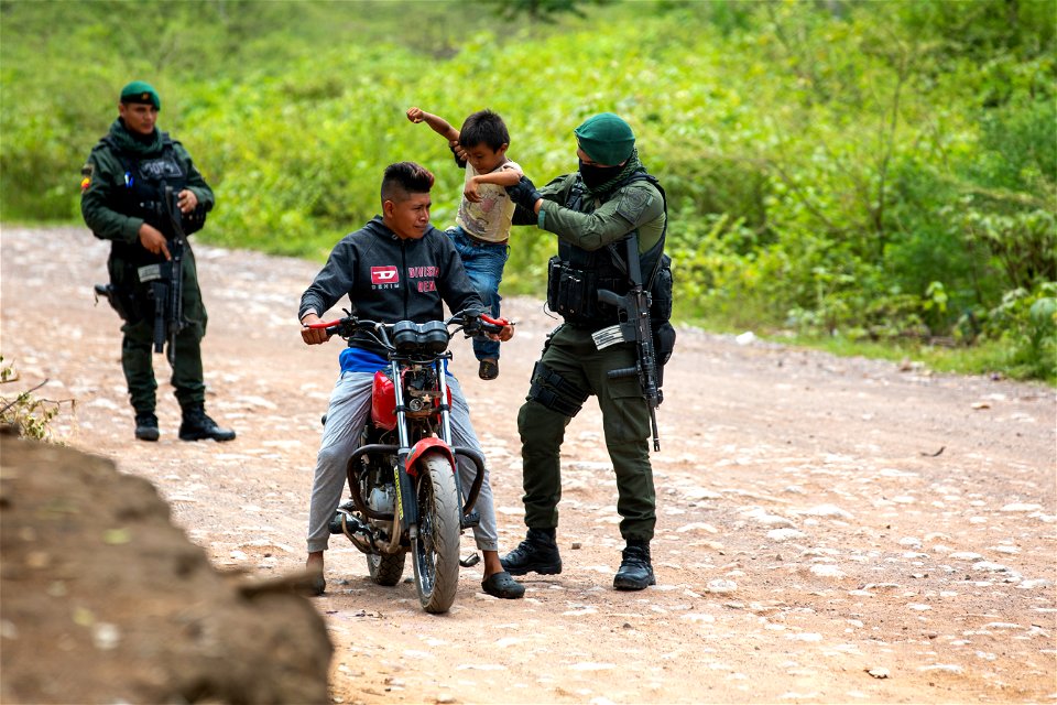
polizia
ritratto
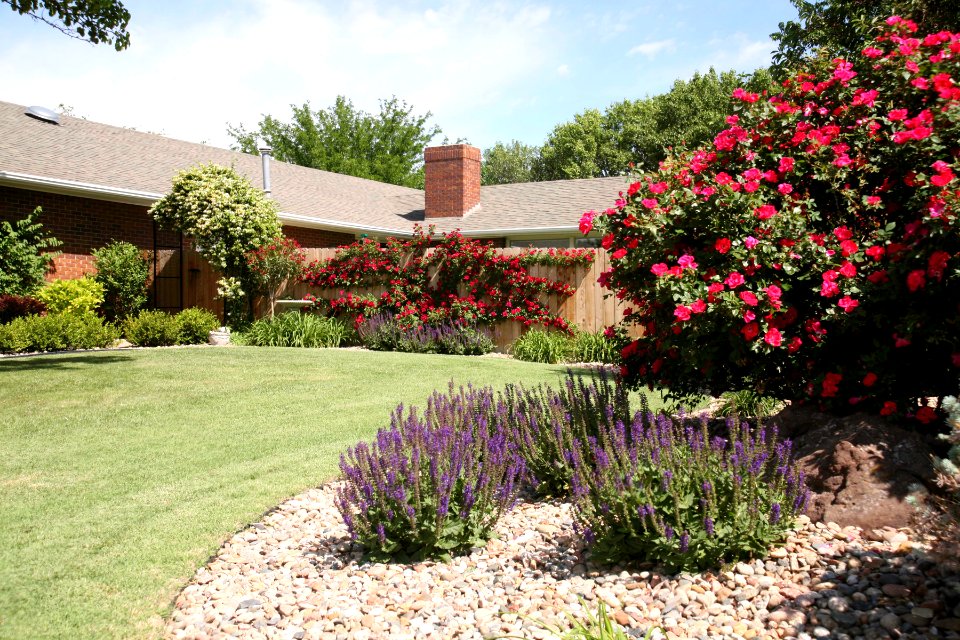
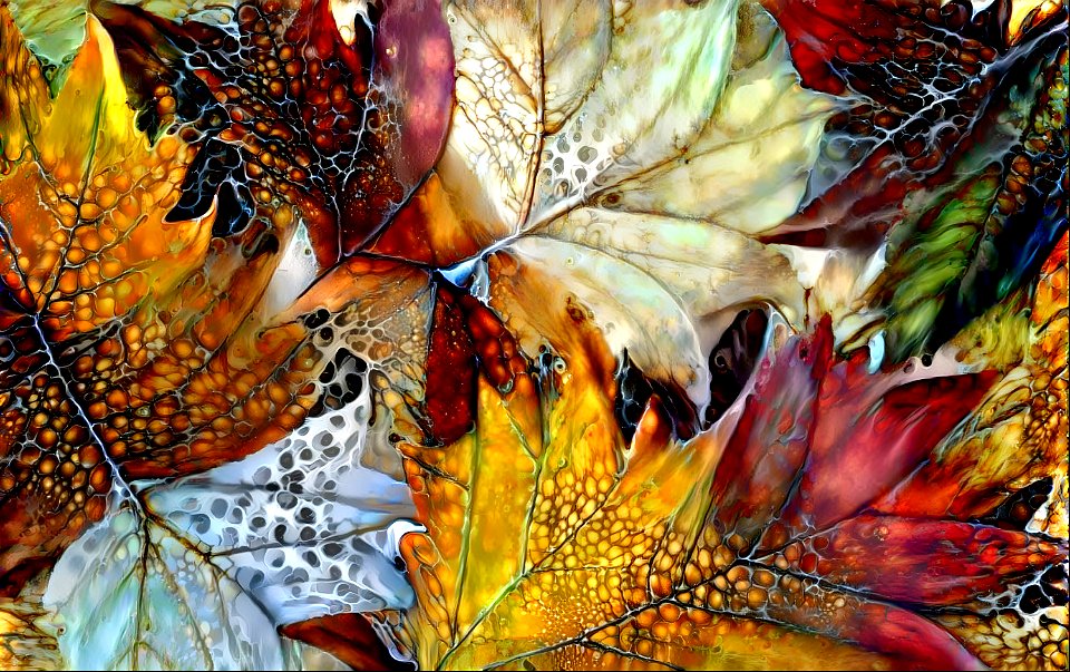
piante
fiori
creativo
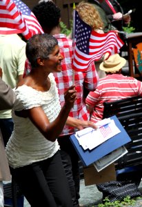
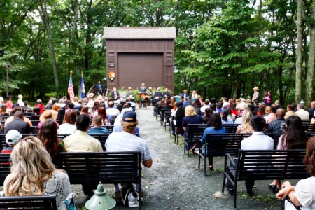
speciale
costruzione
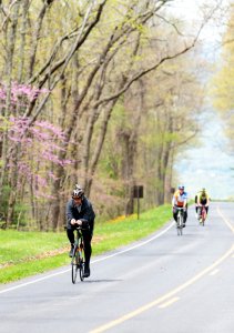
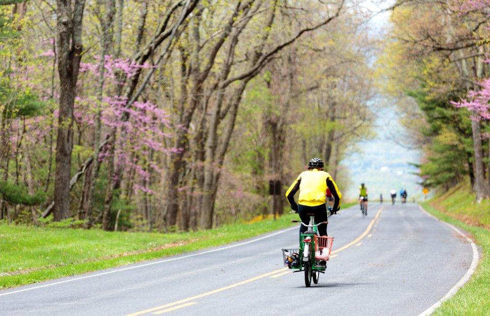
strade
persone
celebrità
persone
persone
canada
isola di hawaii
persone
isola di hawaii
stati uniti
6901 - 7000 di 20.175
Pagina successiva
/ 202

![Carte particuliére de l'Isle d'Amboine / J. V. Schley direct, Jakob van der Schley, [1763]](https://cdn.creazilla.com/illustrations/10000789471/carte-particuli-re-de-l-isle-d-amboine-j-v-schley-direct-jakob-van-der-schley-1763-md.jpg)


![Carte des environs de Batavia = Map of the outskirts of Batavia / J. v. Schley direct, Jakob van der Schley, [1755]](https://cdn.creazilla.com/illustrations/10001436890/carte-des-environs-de-batavia-map-of-the-outskirts-of-batavia-j-v-schley-direct-jakob-van-der-schley-1755-md.jpg)


![Map of Holland and Surrounding Provinces - Nicolaus Visscher, Gilliam van der Gouwen, [after 1705]](https://cdn.creazilla.com/illustrations/10000302103/map-of-holland-and-surrounding-provinces-nicolaus-visscher-gilliam-van-der-gouwen-after-1705-sm.webp)


![New map of the dike county of Dregterlandt MDCCXXIII / [Govert Oostwoudt], Hendrik de Leth, 1723](https://cdn.creazilla.com/illustrations/10001164306/new-map-of-the-dike-county-of-dregterlandt-mdccxxiii-govert-oostwoudt-hendrik-de-leth-1723-md.jpg)

![New map of the dike county of Dregterlandt MDCCXXIII / [Govert Oostwoudt], Hendrik de Leth, 1723](https://cdn.creazilla.com/illustrations/10000268352/new-map-of-the-dike-county-of-dregterlandt-mdccxxiii-govert-oostwoudt-hendrik-de-leth-1723-md.jpg)


![Map of Hindustan - Bellin, Jakob van der Schley, [1752]](https://cdn.creazilla.com/illustrations/10001359833/map-of-hindustan-bellin-jakob-van-der-schley-1752-md.jpg)
![New map of the dike county of Dregterlandt MDCCXXIII / [Govert Oostwoudt], Hendrik de Leth, 1723](https://cdn.creazilla.com/illustrations/10001513549/new-map-of-the-dike-county-of-dregterlandt-mdccxxiii-govert-oostwoudt-hendrik-de-leth-1723-sm.webp)


![New map of the dike county of Dregterlandt MDCCXXIII / [Govert Oostwoudt], Hendrik de Leth, 1723](https://cdn.creazilla.com/illustrations/10001263717/new-map-of-the-dike-county-of-dregterlandt-mdccxxiii-govert-oostwoudt-hendrik-de-leth-1723-md.jpg)
![Thieler Waard – Card with Hochwasserschutz 1729, Willem Albert Bachiene, [1759]](https://cdn.creazilla.com/illustrations/10000639099/thieler-waard-card-with-hochwasserschutz-1729-willem-albert-bachiene-1759-md.jpg)
![New map of the dike county of Dregterlandt MDCCXXIII / [Govert Oostwoudt], Hendrik de Leth, 1723](https://cdn.creazilla.com/illustrations/10001049964/new-map-of-the-dike-county-of-dregterlandt-mdccxxiii-govert-oostwoudt-hendrik-de-leth-1723-md.jpg)
![New Map of Java - J. van Schley, Jakob van der Schley, [1755]](https://cdn.creazilla.com/illustrations/10001066797/new-map-of-java-j-van-schley-jakob-van-der-schley-1755-md.jpg)
![Map of Java, Sumatra, and Borneo - Nicolas Bellin, Jakob van der Schley, [1773]](https://cdn.creazilla.com/illustrations/10001110266/map-of-java-sumatra-and-borneo-nicolas-bellin-jakob-van-der-schley-1773-md.jpg)
![New map of the dike county of Dregterlandt MDCCXXIII / [Govert Oostwoudt], Hendrik de Leth, 1723](https://cdn.creazilla.com/illustrations/10001145386/new-map-of-the-dike-county-of-dregterlandt-mdccxxiii-govert-oostwoudt-hendrik-de-leth-1723-md.jpg)


![Thieler Waard – Card with Hochwasserschutz 1729, Willem Albert Bachiene, [1759]](https://cdn.creazilla.com/illustrations/10000488312/thieler-waard-card-with-hochwasserschutz-1729-willem-albert-bachiene-1759-md.jpg)
![Particular map of the Moluccas Islands / J.V.S. direx, Jakob van der Schley, [1763]](https://cdn.creazilla.com/illustrations/10001387577/particular-map-of-the-moluccas-islands-jvs-direx-jakob-van-der-schley-1763-md.jpg)
![New map of the dike county of Dregterlandt MDCCXXIII / [Govert Oostwoudt], Hendrik de Leth, 1723](https://cdn.creazilla.com/illustrations/10000357283/new-map-of-the-dike-county-of-dregterlandt-mdccxxiii-govert-oostwoudt-hendrik-de-leth-1723-md.jpg)


![Caarte vande Vier Polders / A. Steyaart invenit; I. Stemmers sculpsit; I. Luiken fecit cum aqua forti, Romeyn de Hooghe, [1701]](https://cdn.creazilla.com/illustrations/10000580360/caarte-vande-vier-polders-a-steyaart-invenit-i-stemmers-sculpsit-i-luiken-fecit-cum-aqua-forti-romeyn-de-hooghe-1701-md.jpg)

![Map of the polder of Oost Voorn / Heyman van Dyck fecit 1695; A. Steyaart invented; I. Stemmer's sculpsit; I. Shutters fecit cum aqua forti, Romeyn de Hooghe, [1701]](https://cdn.creazilla.com/illustrations/10000729215/map-of-the-polder-of-oost-voorn-heyman-van-dyck-fecit-1695-a-steyaart-invented-i-stemmers-sculpsit-i-shutters-fecit-cum-aqua-forti-romeyn-de-hooghe-1701-md.jpg)
![Alphabetical table of the names of towns, villages etc. which are on the map of Zeeland by Mr. Sanson ([1692]), [1692]](https://cdn.creazilla.com/illustrations/10000748056/alphabetical-table-of-the-names-of-towns-villages-etc-which-are-on-the-map-of-zeeland-by-mr-sanson-1692-1692-md.jpg)

![The course of the Meuse, with the neighboring countries, dukedoms and counties / by Mr. Sanson ..., [after 1696]](https://cdn.creazilla.com/illustrations/10001348889/the-course-of-the-meuse-with-the-neighboring-countries-dukedoms-and-counties-by-mr-sanson-after-1696-sm.jpg)
![Kaart van geheel Guajana of de Wilden-kust, en die der Spaansche Westindiën, op het Noord-end van Zuid Amerika, Isaak Tirion, [1767]](https://cdn.creazilla.com/illustrations/10000300014/kaart-van-geheel-guajana-of-de-wilden-kust-en-die-der-spaansche-westindin-op-het-noord-end-van-zuid-amerika-isaak-tirion-1767-md.jpg)


![Map vande polder van Swarte-Waal, 1697 / I. Stemmers sculpsit; A. Steyaart invenit; I. Luiken fecit cum aqua forti, Romeyn de Hooghe, [1701]](https://cdn.creazilla.com/illustrations/10000588873/map-vande-polder-van-swarte-waal-1697-i-stemmers-sculpsit-a-steyaart-invenit-i-luiken-fecit-cum-aqua-forti-romeyn-de-hooghe-1701-md.jpg)
![Maps of the coat of arms of Naters and Pancras Gors / A. Steyaart invenit; I. Stemmers sculpsit; I. Luiken fecit cum aqua forti, Romeyn de Hooghe, [1701]](https://cdn.creazilla.com/illustrations/10000526878/maps-of-the-coat-of-arms-of-naters-and-pancras-gors-a-steyaart-invenit-i-stemmers-sculpsit-i-luiken-fecit-cum-aqua-forti-romeyn-de-hooghe-1701-md.jpg)
![Map of the west new lant in West Voorne 1696 / I. Luiken fecit cum aqua forti; A. Steyaart invented; I. Stemmer's sculpsit; Heyman van Dyck fecit, Romeyn de Hooghe, [1701]](https://cdn.creazilla.com/illustrations/10000775784/map-of-the-west-new-lant-in-west-voorne-1696-i-luiken-fecit-cum-aqua-forti-a-steyaart-invented-i-stemmers-sculpsit-heyman-van-dyck-fecit-romeyn-de-hooghe-1701-md.jpg)
![Map of the polders of Klein Oosterland and Kley-Burgh / A. Steyaart invenit; Heyman vander Dyck fecit; I. Stemmer's sculpsit; I. Shutters fecit cum aqua forti, Romeyn de Hooghe, [1701]](https://cdn.creazilla.com/illustrations/10000646707/map-of-the-polders-of-klein-oosterland-and-kley-burgh-a-steyaart-invenit-heyman-vander-dyck-fecit-i-stemmers-sculpsit-i-shutters-fecit-cum-aqua-forti-romeyn-de-hooghe-1701-md.jpg)
![Carte vande polder vande Nieuwe-Goote, Ao. 1696 / A. Steyaart invenit; I. Stemmer's sculpsit; I. Shutters fecit cum aqua forti, Romeyn de Hooghe, [1701]](https://cdn.creazilla.com/illustrations/10001048195/carte-vande-polder-vande-nieuwe-goote-ao-1696-a-steyaart-invenit-i-stemmer-s-sculpsit-i-shutters-fecit-cum-aqua-forti-romeyn-de-hooghe-1701-md.jpg)
![General map and images of the eylande of West Voorn / I. Luiken fecit cum aqua forti; A. Steyaart invented; I. Stemmer's sculpsit, Romeyn de Hooghe, [1701]](https://cdn.creazilla.com/illustrations/10001191356/general-map-and-images-of-the-eylande-of-west-voorn-i-luiken-fecit-cum-aqua-forti-a-steyaart-invented-i-stemmer-s-sculpsit-romeyn-de-hooghe-1701-md.jpg)
![Map of the polder of Nieuwen Hoorn 1695 / I. Luyken fecit cum aqua forti; I. Stemmer's sculpsit; A. Steyaart invenit, Romeyn de Hooghe, [1701]](https://cdn.creazilla.com/illustrations/10001201060/map-of-the-polder-of-nieuwen-hoorn-1695-i-luyken-fecit-cum-aqua-forti-i-stemmers-sculpsit-a-steyaart-invenit-romeyn-de-hooghe-1701-sm.webp)

![General map of the country of Voorne in the country of Over Flacquee / I. Stemmers sculpsit; A. Steyaart invented; I. Shutters fecit cum aqua forti, Romeyn de Hooghe, [1701]](https://cdn.creazilla.com/illustrations/10001257299/general-map-of-the-country-of-voorne-in-the-country-of-over-flacquee-i-stemmers-sculpsit-a-steyaart-invented-i-shutters-fecit-cum-aqua-forti-romeyn-de-hooghe-1701-md.jpg)
![Carte vande Ambachts Heerlykheyt vanden Ouden Hoorn / I. Luiken fecit cum aqua forti; A. Steyaart invented; I. Stemmer's sculpsit, Romeyn de Hooghe, [1701]](https://cdn.creazilla.com/illustrations/10001208015/carte-vande-ambachts-heerlykheyt-vanden-ouden-hoorn-i-luiken-fecit-cum-aqua-forti-a-steyaart-invented-i-stemmer-s-sculpsit-romeyn-de-hooghe-1701-md.jpg)
![Map of the polders of Old and New Roc-anje / A. Steyaart invenit; Heyman van Dyck fecit; I. Stemmer's sculpsit; I. Shutters fecit cum aqua forti, Romeyn de Hooghe, [1701]](https://cdn.creazilla.com/illustrations/10000510590/map-of-the-polders-of-old-and-new-roc-anje-a-steyaart-invenit-heyman-van-dyck-fecit-i-stemmers-sculpsit-i-shutters-fecit-cum-aqua-forti-romeyn-de-hooghe-1701-sm.webp)


![Tables of the divisions of the seventeen provinces of the Netherlands / by Mr. Sanson, ordinary geographer to the King, [1692]](https://cdn.creazilla.com/illustrations/10000941957/tables-of-the-divisions-of-the-seventeen-provinces-of-the-netherlands-by-mr-sanson-ordinary-geographer-to-the-king-1692-sm.jpg)