Log in
All resources
Create a design
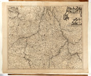
Karta över delar av Tyskland, Frankrike, Holland, Belgien och Luxemburg, 1697-1727 - Skoklosters slott - 97994
Download
Edit image
Published by:
Creazilla
Author:
Erik Lernestål
Source:
commons.wikimedia.org
Loading...
0 downloads
Print it
Copy image
Loading...
maps made in the 18th century
maps made in the 17th century
maps in skokloster castle
MORE LIKE THIS