Log in
All resources
Create a design
22 Free Photos of Maps Made In The 18th Century
maps in skokloster castle
cc-zero
history
historical
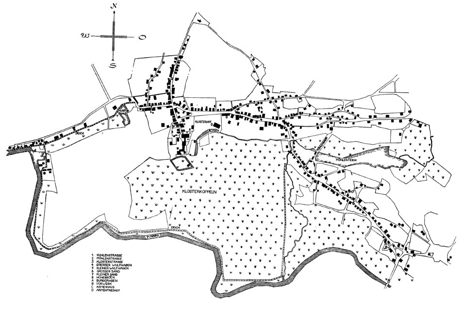
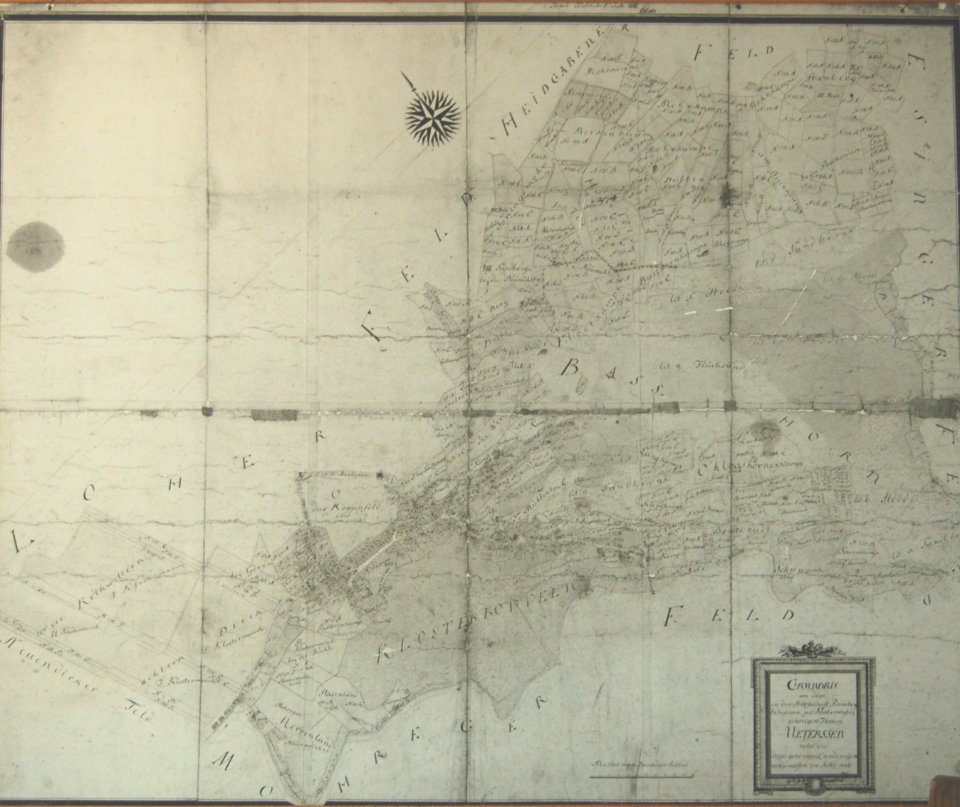
site plans
engraved maps
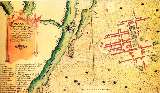
vila bela da santíssima trindade
portuguese-language maps
maps by frederick de wit
files by dr michel royon
louis xvi style
gold
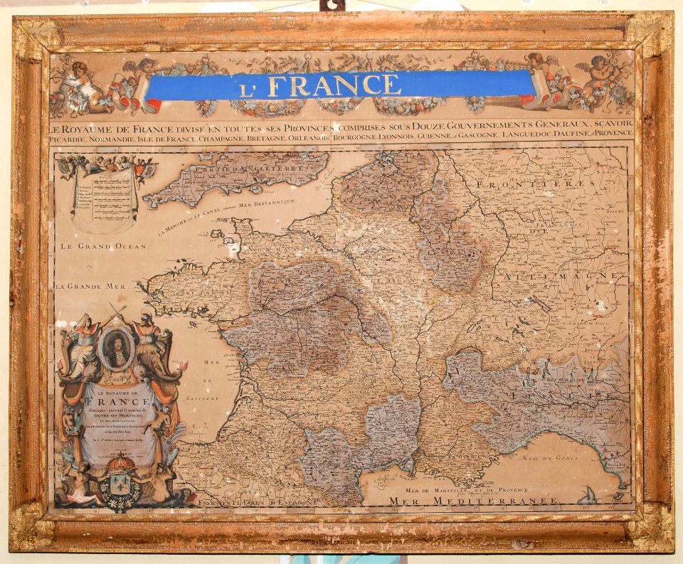
maps made in the 18th century
maps in skokloster castle
maps made in the 18th century
18th-century maps of brazil
maps made in the 18th century
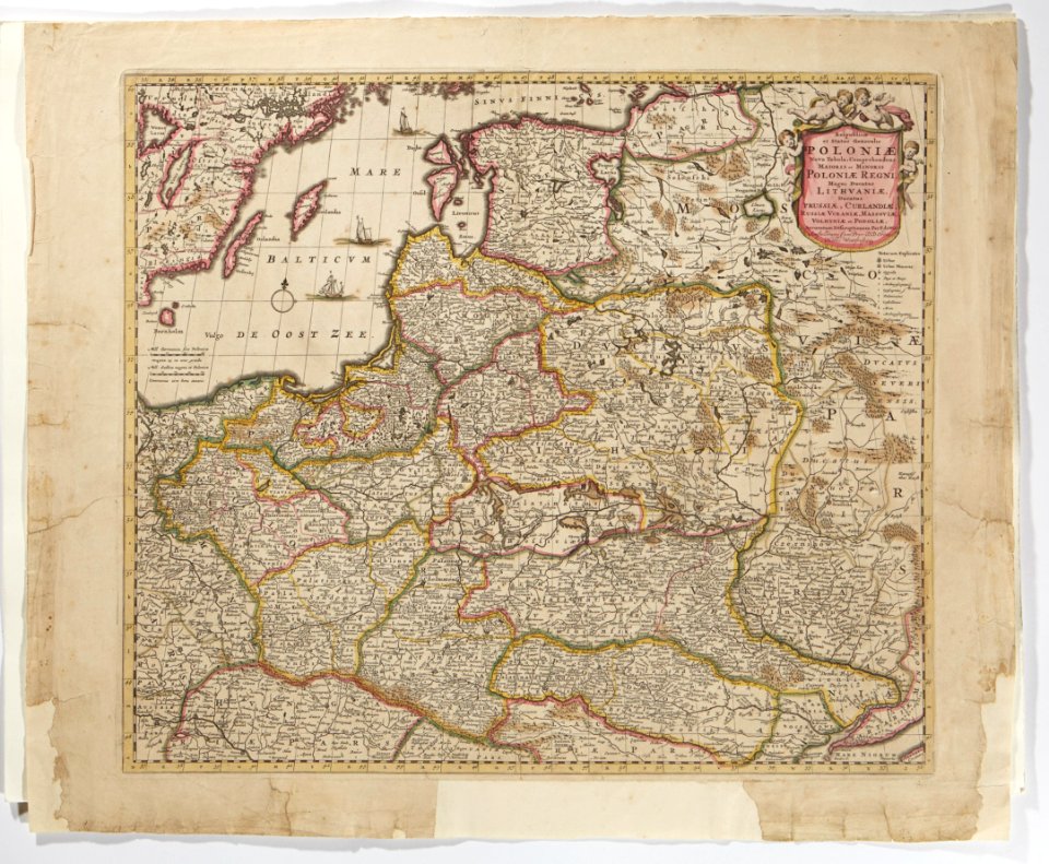
maps made in the 17th century
maps made in the 18th century
maps in skokloster castle
18th-century maps of asia
figurines
maps made in the 18th century
maps in skokloster castle
maps made in the 18th century
maps in skokloster castle
maps made in the 18th century
maps in skokloster castle
maps made in the 18th century
maps in skokloster castle
maps made in the 18th century
old maps of scandinavia
maps made in the 18th century
maps in skokloster castle
maps made in the 18th century
maps in skokloster castle
maps made in the 18th century
maps by nicolas sanson
maps made in the 18th century
maps by frederick de wit
verkehrsdrehscheibe schweiz und unser weg zum meer
maps made in the 18th century
maps made in the 18th century
site plans
self-published work
1776 maps
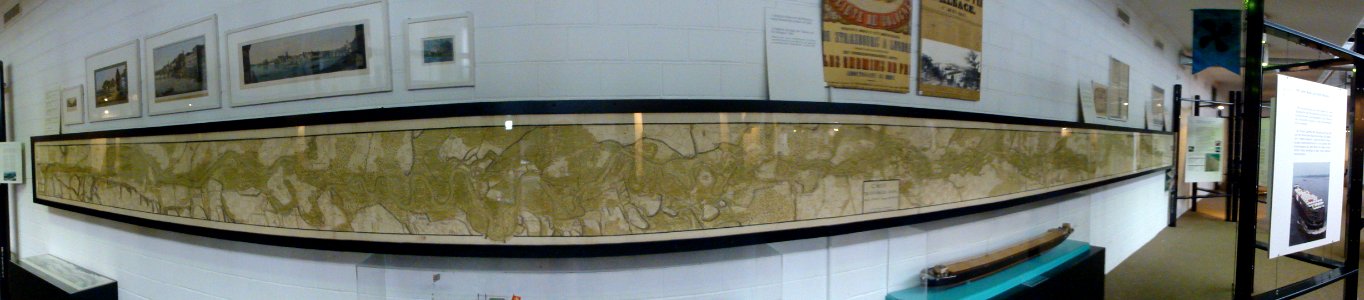
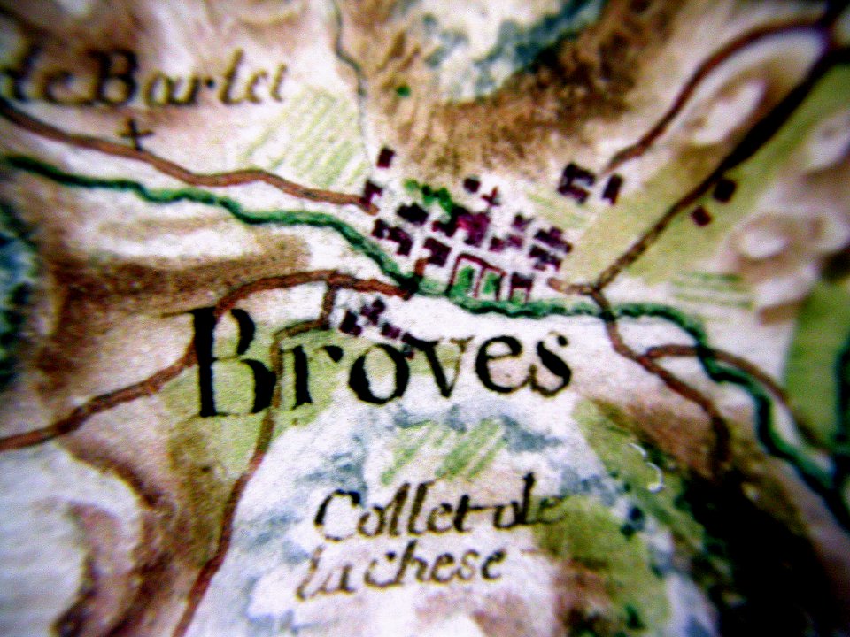
verdon river
old map
historical
history
historical
history
historical
history
1 - 22 of 22
/ 1