Log in
All resources
Create a design
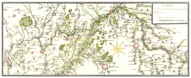
Getekende kaart van de Franse linies in Brabant (ca. 1705) by anonymous.
Download
Edit image
Published by:
Creazilla
Author:
Rijksmuseum
Source:
rawpixel.com
Loading...
0 downloads
Print it
Copy image
Loading...
maps
geography
world
world map
antique
atlas
18th century
1700s
vintage maps
illustration free
1700s public domain
maps antique
MORE LIKE THIS