Log in
All resources
Create a design
1,785 Free Artworks of World Map
maps
vintage maps
old map
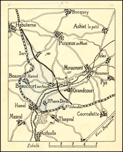
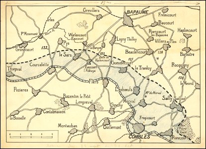
hand-drawn maps and views of world war i battlefields by h.m.
globe
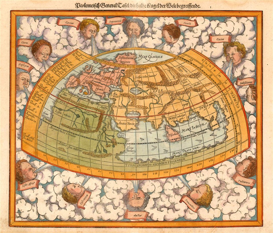
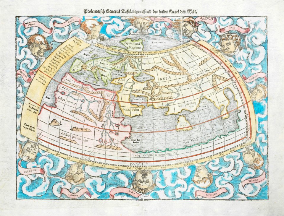
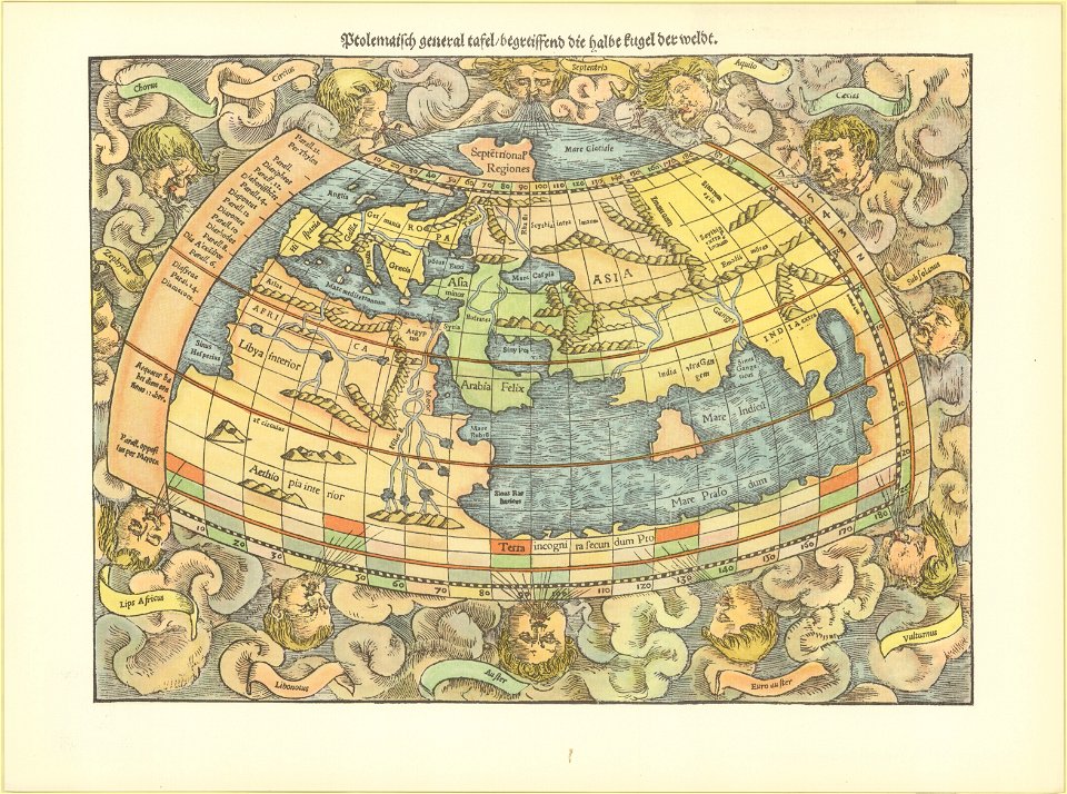
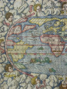
ptolemaic world maps
vintage
maps by sebastian münster
poster
1590s maps of the world
claes jansz. visscher (i)
joannes van doetecum (i)
17th-century maps of iceland
copper engravings
17th-century maps of catalonia
coats of arms of catalonia
the generall historie of virginia (john smith)
17th-century maps of bermuda
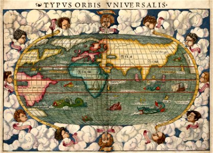
typus orbis terrarum
1570 maps
maps of colonial brazil
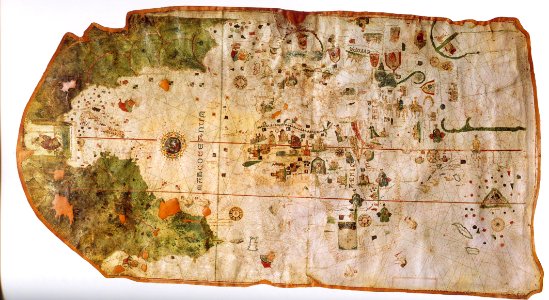
atlas miller
carte de france by guillaume delisle (1721)
philippe buache
maps of del norte county, california
1866 maps of california
1510s maps of the world
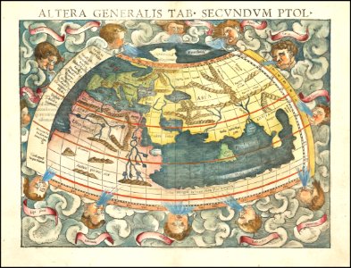
ptolemaic world maps
maps by sebastian münster
ptolemaic world maps
political maps of the world
1852
1490s maps of the world
ptolemaic world maps
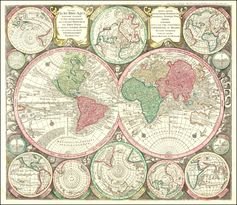
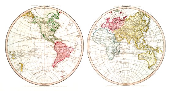
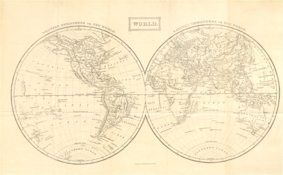
double hemisphere world maps
maps by matthäus seutter
double hemisphere world maps
1590s maps of the world
maps by sebastian münster
ptolemaic world maps
maps showing 19th-century history
political maps of the world
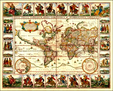
world map
1300
prime meridian
new world
english-language maps
ptolemaic world maps
maps by sebastian münster
1530s maps of the world
old maps of the world
1846 maps
maps by sebastian münster
1590s maps of the world
maps by martin waldseemüller
1510s maps of the world
maps by sebastian münster
1530s maps of the world
maps by jacques-nicolas bellin
jacques-nicolas bellin
australia
maps
illustration
maps
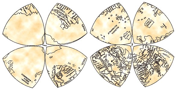
reuleaux triangles
world map
maps from the mechanical curator collection
1857 books
maps by martin waldseemüller
1510s maps of the world
1570s maps of the world
tommaso porcacchi
1490s maps of the world
hartmann schedel
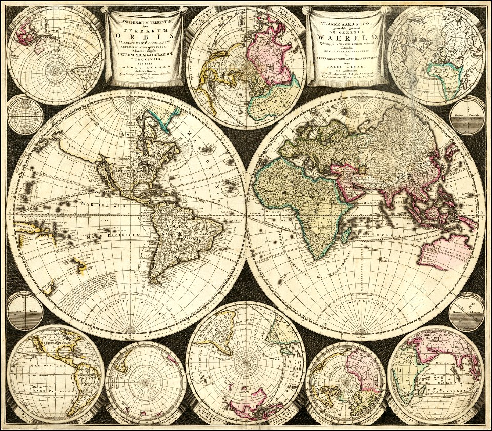
carolus allard
1696 maps
maps in the national library of australia
maps by sebastian münster
claes jansz. visscher (ii)
1650s maps of the world
hand-drawn maps and views of world war i battlefields by h.m.
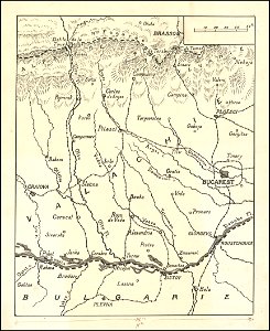
old maps of wallachia
1570s maps of the world
tommaso porcacchi
illustrations of cosmographia (münster)
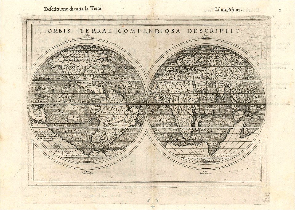
old maps of the world
illustrations of cosmographia (münster)
old maps of the world
maps in the national library of australia
1572 maps
charts and maps of the royal museums greenwich
1590s maps of the world
australia
maps
1590s maps of the world
giuseppe rosaccio
1590s maps of the world
giuseppe rosaccio
maps by benedetto bordon
1540s maps of the world
printing
maps
earth
maps
australia
maps
maps in the national library of australia
1572 maps
charts and maps of the royal museums greenwich
1590s maps of the world
maps in the national library of australia
matthäus merian
illustrations of cosmographia (münster)
old maps of the world
globe
maps
charts and maps of the royal museums greenwich
1572 maps
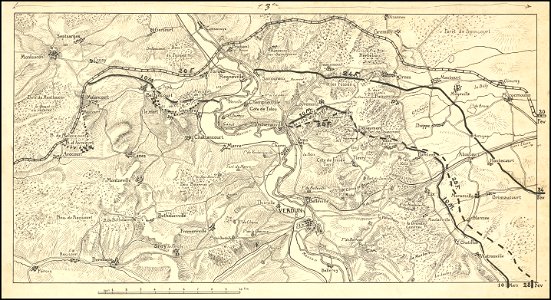
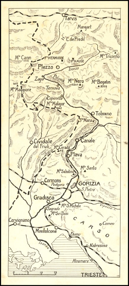
hand-drawn maps and views of world war i battlefields by h.m.
maps of world war i - italian front
africa
maps
hand-drawn maps and views of world war i battlefields by h.m.
1917 maps of lithuania
earth
maps
description de l'universe
1710s maps of the world
double hemisphere world maps
color engravings
cartography
maps
hand-drawn maps and views of world war i battlefields by h.m.
western front maps of world war i
globe
maps
hand-drawn maps and views of world war i battlefields by h.m.
maps of world war i - italian front
globe
maps
globe
maps
maps by frederick de wit
1690s maps of the world
17th-century maps of the world
maps by frederick de wit
old maps of the world
1899 maps
ptolemaic world maps
latin-language maps
double hemisphere world maps
maps by frederick de wit
double hemisphere world maps
copper engraving
latin-language book pages
ptolemaic world maps
hand-drawn maps and views of world war i battlefields by h.m.
western front maps of world war i
hand-drawn maps and views of world war i battlefields by h.m.
western front maps of world war i
hand-drawn maps and views of world war i battlefields by h.m.
western front maps of world war i
maps in the national library of australia
claes jansz. visscher (ii)
illustration
maps
globe
maps
maps by sebastian münster
ptolemaic world maps
hand-drawn maps and views of world war i battlefields by h.m.
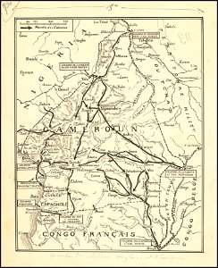
old maps of cameroon
1500s maps of the world
map of de la cosa
maps
art
description de l'universe
alain manesson-mallet
1620s maps of the world
1621 maps
hand-drawn maps and views of world war i battlefields by h.m.
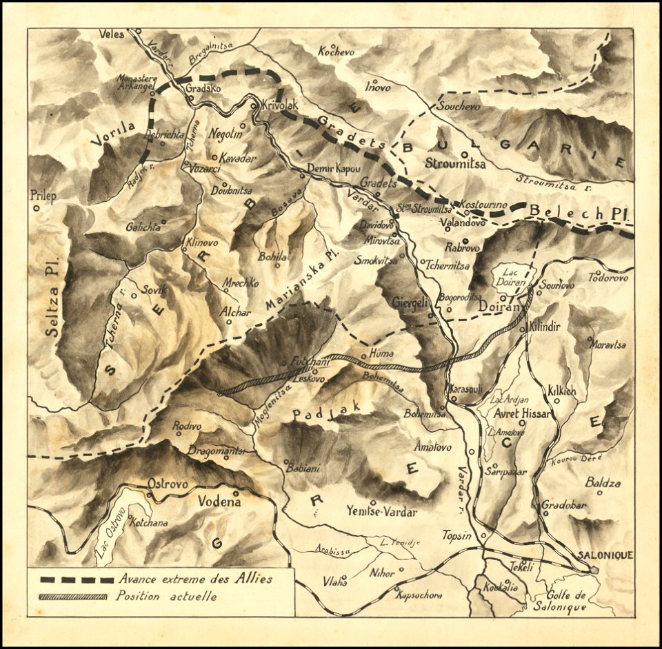
macedonian front maps
hand-drawn maps and views of world war i battlefields by h.m.
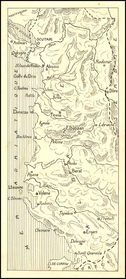
old maps of albania
description de l'universe
alain manesson-mallet
double hemisphere world maps
johannes van keulen
vintage
maps
ptolemaic world maps
latin-language maps
popular science monthly illustrations/volume 16
mercator 1569 world map
popular science monthly illustrations/volume 16
ancient greek maps of the world
egypt
maps
1550s maps of the world
petrus apianus
world
maps
landscape
maps
popular science monthly illustrations/volume 16
10th-century maps of the world
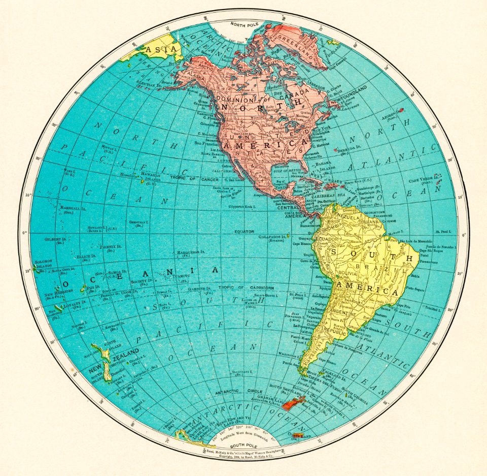
old maps of earth's hemispheres
double hemisphere world maps
symbol
maps
1 - 100 of 1,785
Next page
/ 18


![[Nautical Atlas of the World, called Miller Atlas]; 2-5. [Miller Atlas: sheets 2 to 5]. sheet 5, António de Holanda, 1519](https://cdn.creazilla.com/illustrations/10000850095/nautical-atlas-of-the-world-called-miller-atlas-2-5-miller-atlas-sheets-2-to-5-sheet-5-antnio-de-holanda-1519-sm.webp)


![A new map of the world [cartographic material]: from the latest observations (1720) by John Senex.](https://cdn.creazilla.com/illustrations/1940323/a-new-map-of-the-world-cartographic-material-from-the-latest-observations-1720-b-md.jpeg)
![Map of France, Spain, and Portugal; Switzerland in cantons [inset]; Island of Corsica (1863) by Samuel Augustus Mitchell.](https://cdn.creazilla.com/illustrations/1953186/map-of-france-spain-and-portugal-switzerland-in-cantons-inset-island-of-corsica--md.jpeg)

![Bankoku Jinbutsu no Dzu [Picture of the World and its People] (1825) by Imakajiyamachi Eijudo.](https://cdn.creazilla.com/illustrations/1953419/bankoku-jinbutsu-no-dzu-picture-of-the-world-and-its-people-1825-by-imakajiyamac-md.jpeg)