Log in
All resources
Create a design
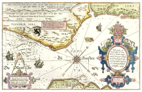
Kaart van de kusten van Vlaanderen, Normandië en Engeland (ca. 1580–1581) by Joannes van Doetechum (I).
Download
Edit image
Published by:
Creazilla
Author:
Rijksmuseum
Source:
rawpixel.com
Loading...
2 downloads
Print it
Copy image
Loading...
maps
vintage
world map
antique
land
atlas
old world
wall art
vintage maps
old map
maps antique
MORE LIKE THIS