Log in
All resources
Create a design
16 Free Images of 18th Century Maps Of Paris
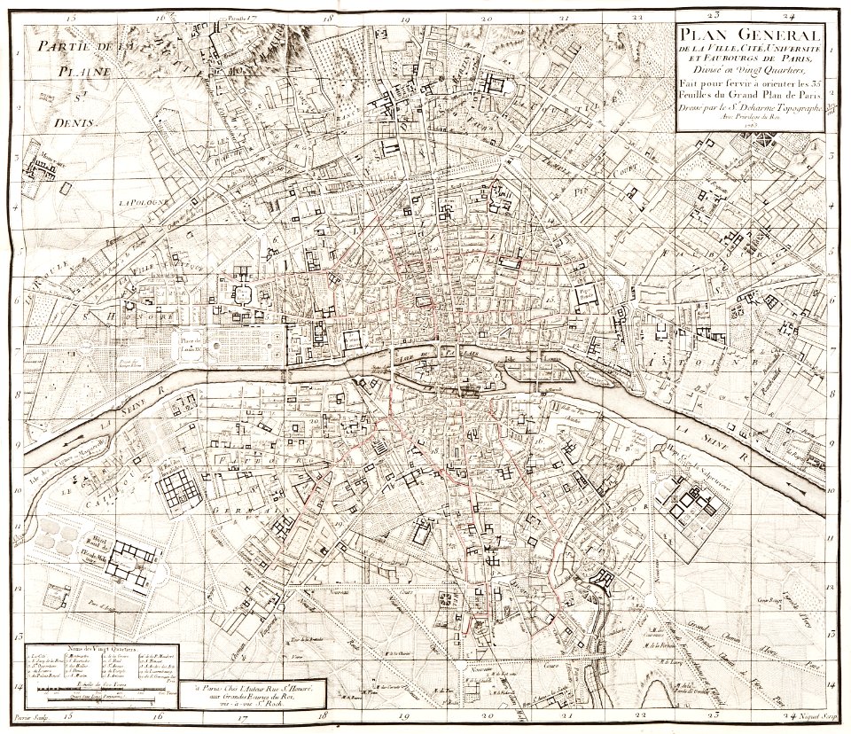
maps of paris in the 1760s
1763 in paris
1760 in paris
maps in skokloster castle
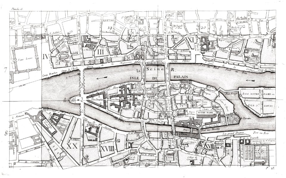
old maps of île de la cité
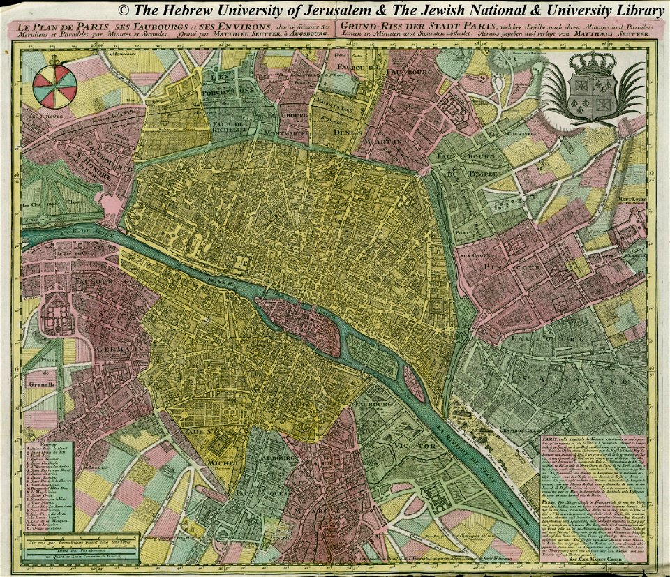
maps by matthäus seutter
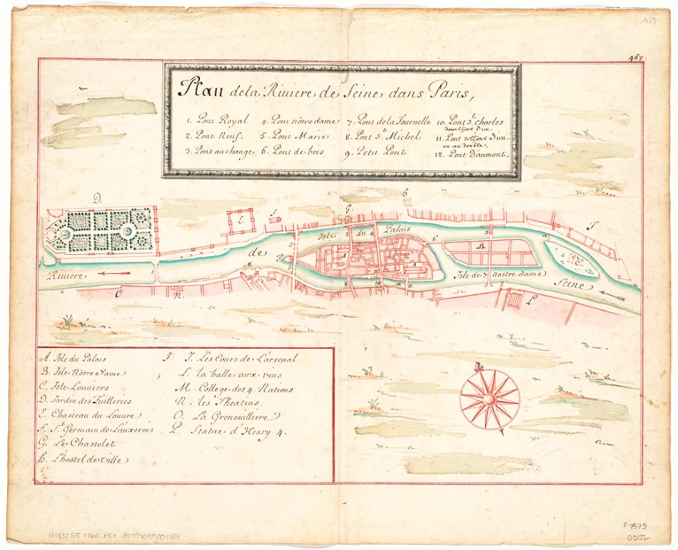
seine river in paris
1760 maps
old maps of paris 1er arrondissement
old maps of île saint-louis
louis xvi style
gold
maps in skokloster castle
1763 maps
maps of paris in the 1760s
maps in skokloster castle
maps of paris in the 1760s
1763 in paris
maps of paris in the 1760s
maps by matthäus seutter
maps by matthäus seutter
copyfraud
maps of paris from the david rumsey historical map collection
1854 maps
maps of paris from the barry lawrence ruderman antique maps inc.
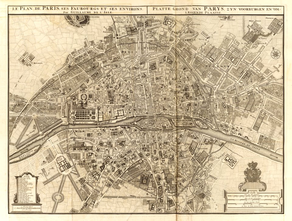
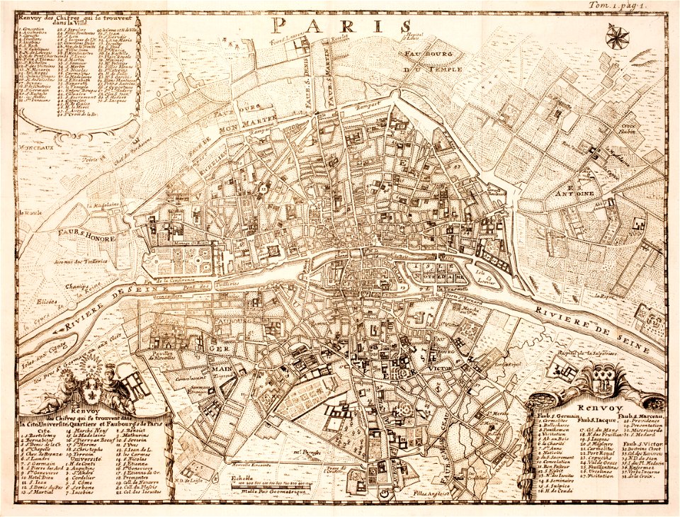
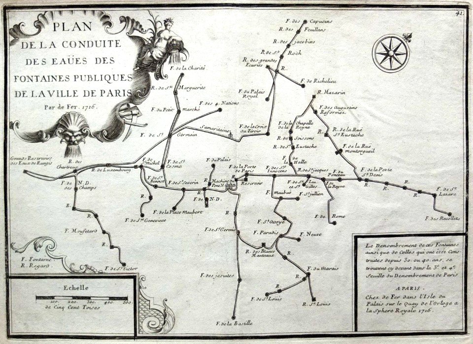
18th-century maps of paris
seine river in paris
1760 maps
seine river in paris
1760 maps
david rumsey historical map collection
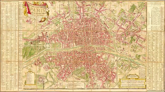
covens en mortier
18th-century maps of paris
maps of paris in the 1740s
historical images of the pont saint-michel
maps in skokloster castle
18th-century maps of hispaniola
hispaniola
carl gustaf tessin
paris
historical
history
1 - 16 of 16
/ 1