Log in
All resources
Create a design
12 Free Images of 18th Century Maps Of Schleswig Holstein
maps by gustav adolf von varendorf
old maps of kiel
history
historical
maps made in the 18th century
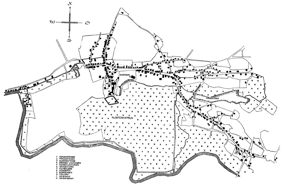
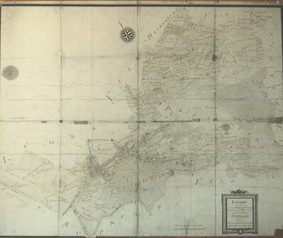
historical maps of uetersen
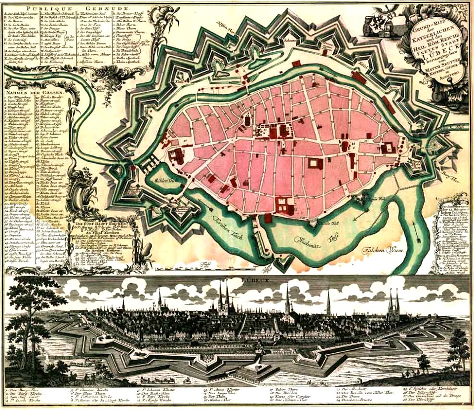
maps by matthäus seutter
lübeck-altstadt
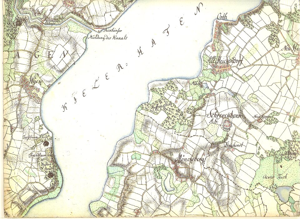
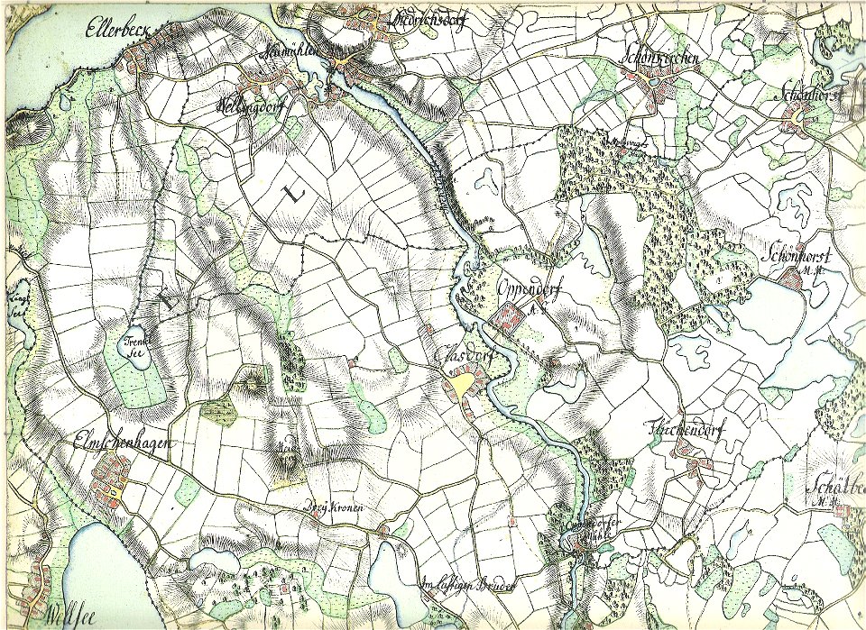
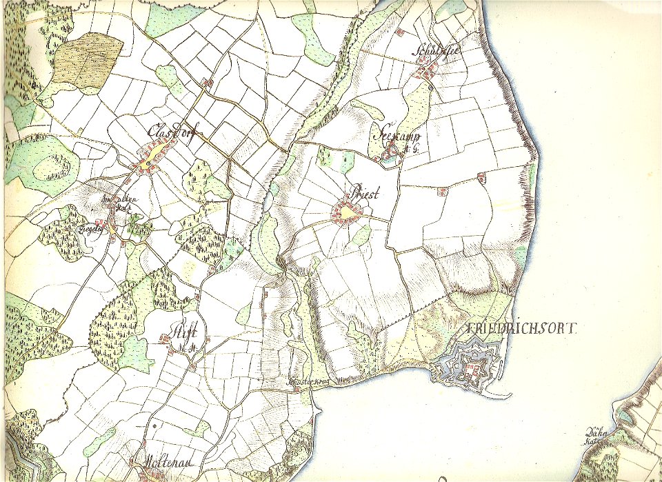
18th-century maps of schleswig-holstein
maps by gustav adolf von varendorf
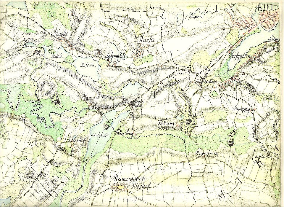
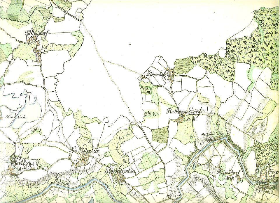
18th-century maps of schleswig-holstein
maps by gustav adolf von varendorf
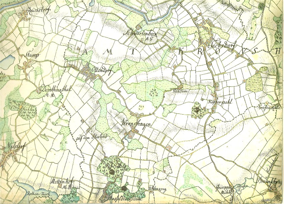
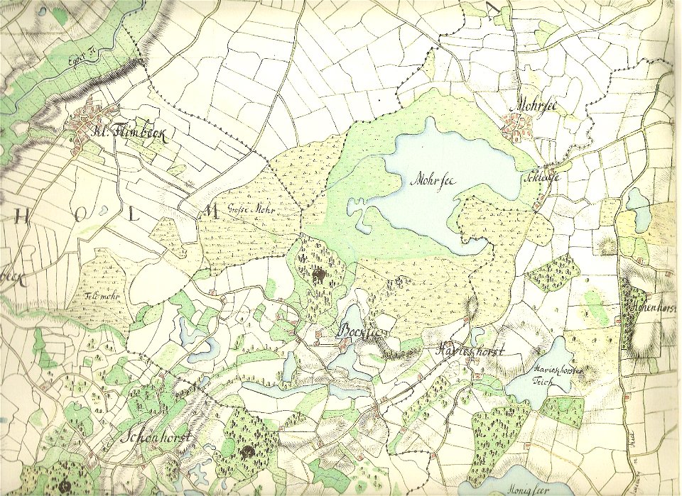
18th-century maps of schleswig-holstein
maps by gustav adolf von varendorf
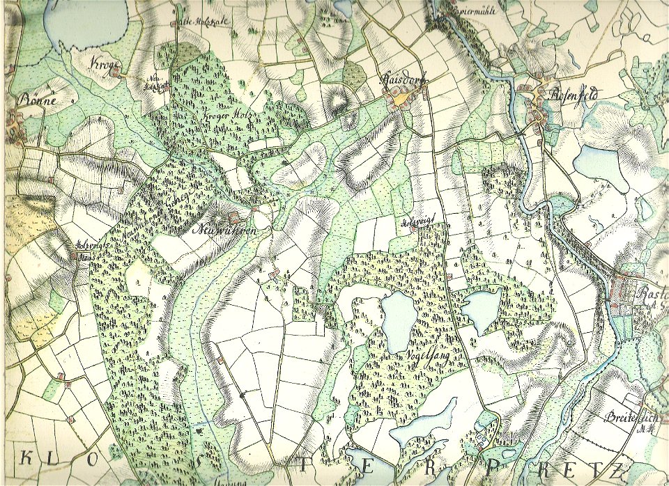
18th-century maps of schleswig-holstein
maps by gustav adolf von varendorf
18th-century maps of schleswig-holstein
maps by gustav adolf von varendorf
18th-century maps of schleswig-holstein
maps by gustav adolf von varendorf
18th-century maps of schleswig-holstein
maps by gustav adolf von varendorf
18th-century maps of schleswig-holstein
maps by gustav adolf von varendorf
18th-century maps of schleswig-holstein
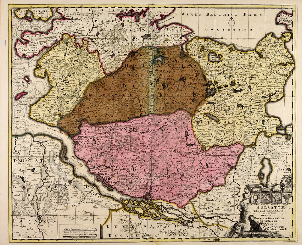
maps by pieter schenk (i)
historical
history
historical
history
1 - 12 of 12
/ 1