Log in
All resources
Create a design
172 Free Images of Maps Made In The 18th Century
atlantis magni tomus tertius (biblioteca comunale di trento)
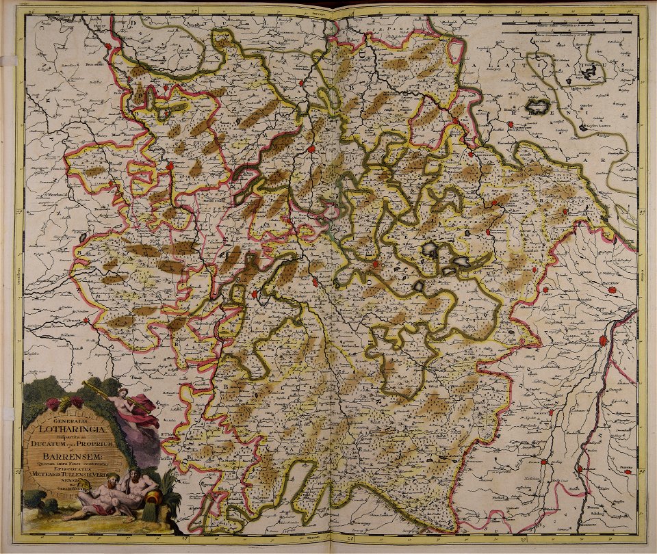
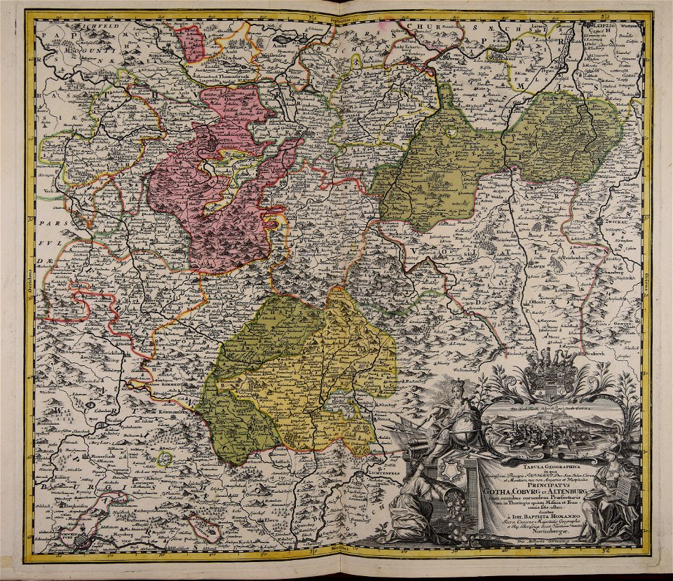
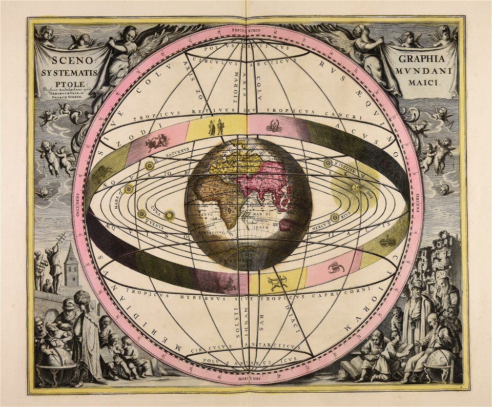
johann baptist homann
maps by pieter schenk (i)
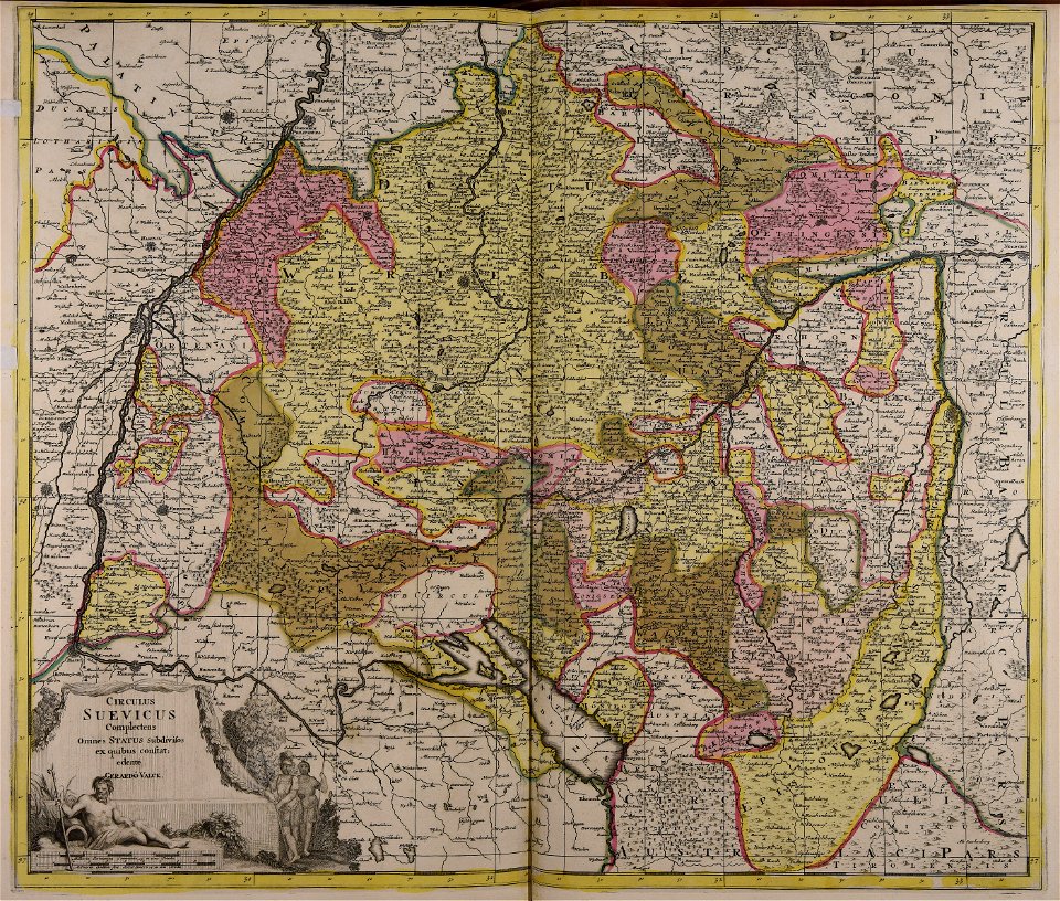
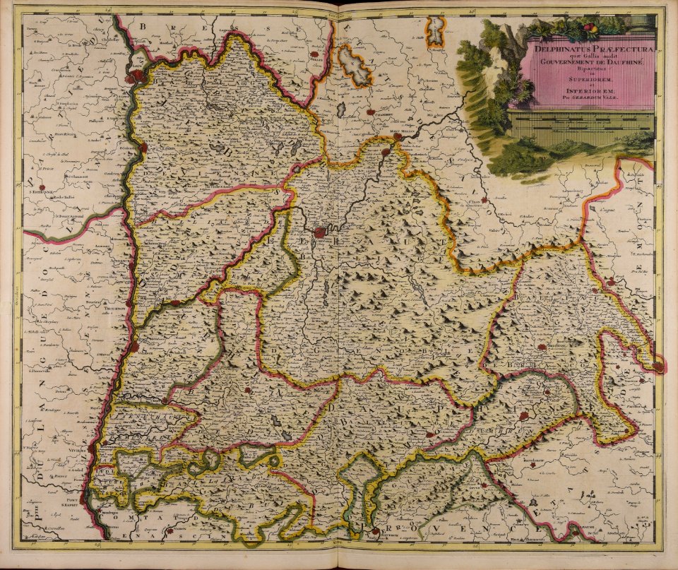
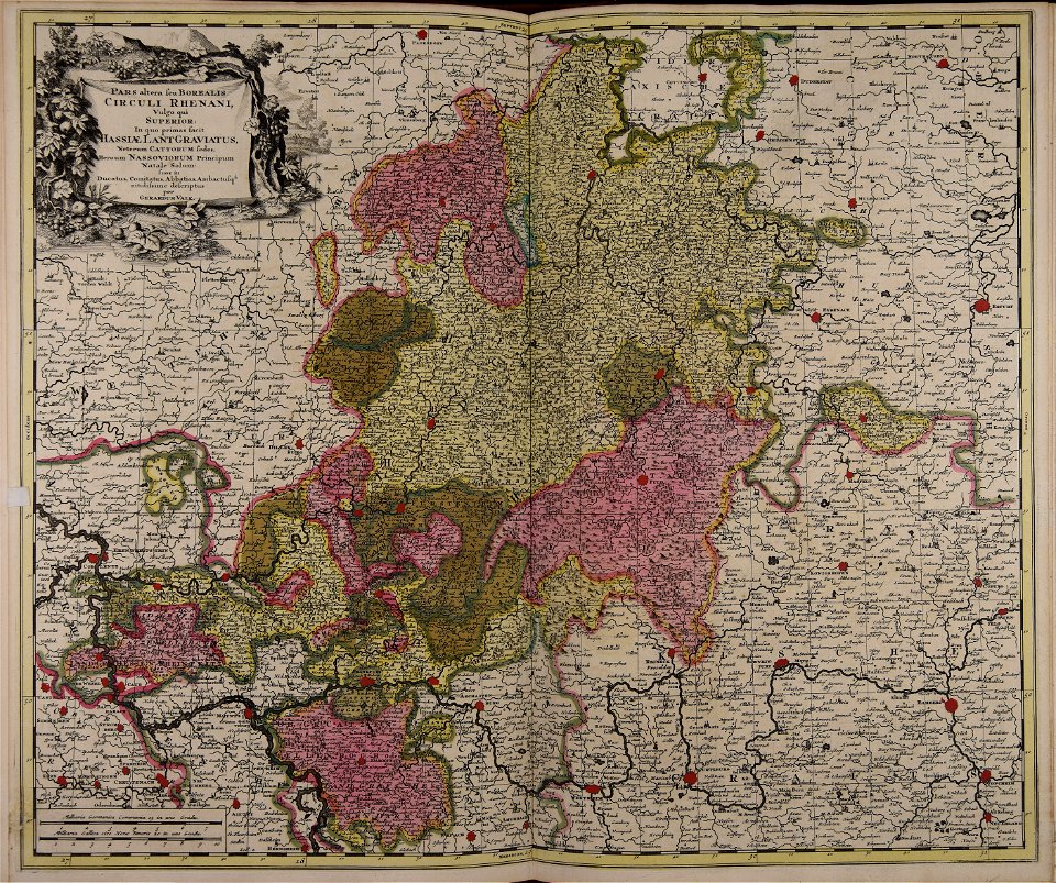
gerard valck
atlantis magni tomus quintus (biblioteca comunale di trento)
maps in skokloster castle
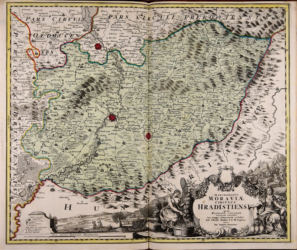
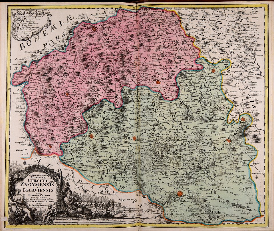
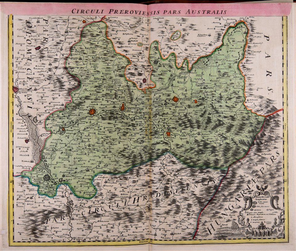
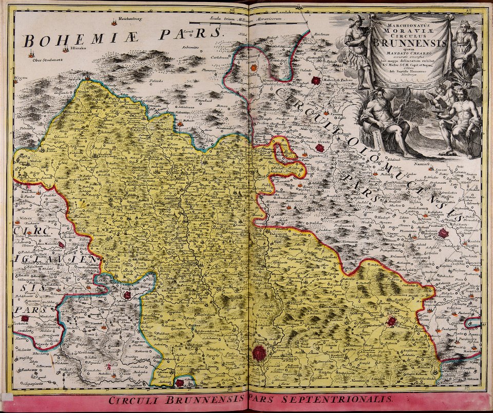
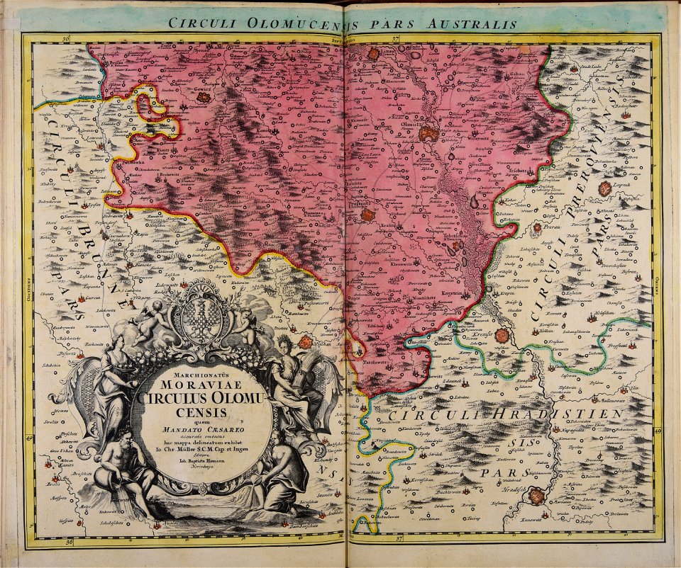
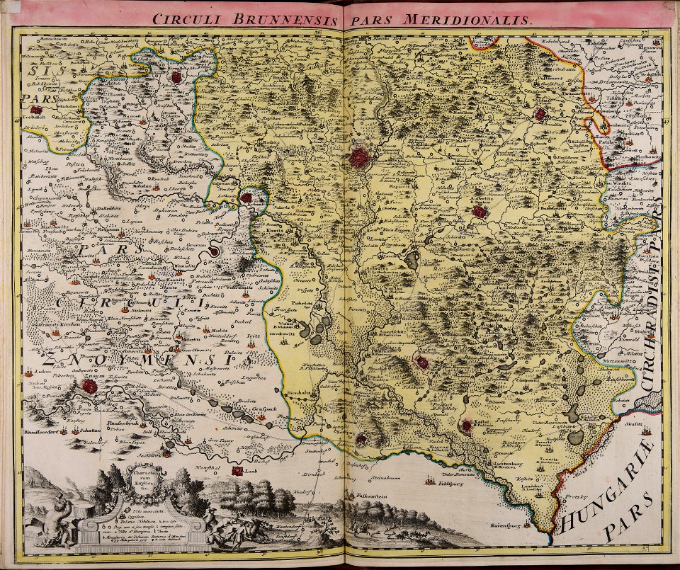
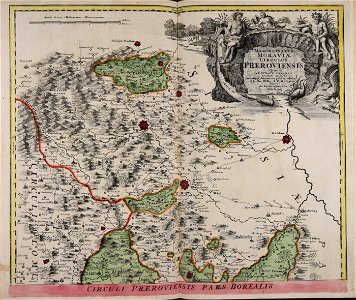
old maps of moravia
johann christoph müller
atlantis magni tomus quartus (biblioteca comunale di trento)
old maps of europe
louis xvi style
gold
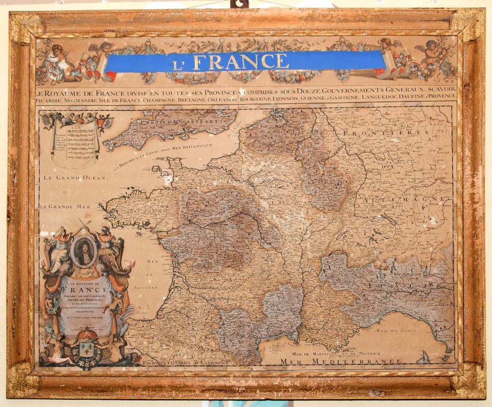
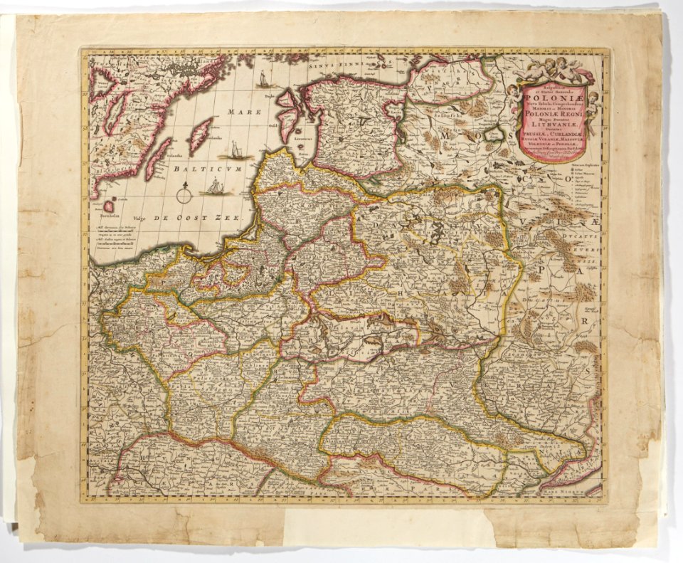
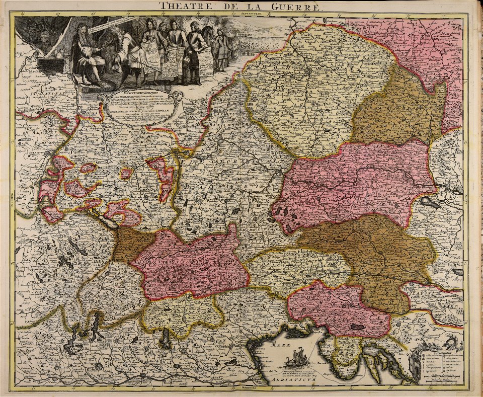
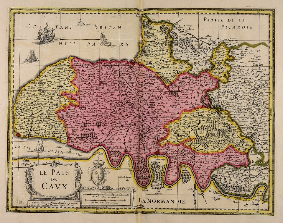
maps made in the 18th century
maps in skokloster castle
maps made in the 18th century
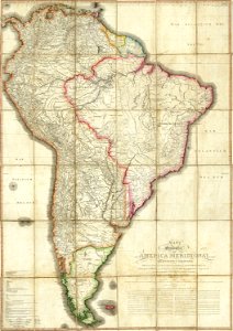
18th-century maps of brazil
maps made in the 18th century
maps made in the 17th century
maps made in the 18th century
maps in skokloster castle
18th-century maps of asia
figurines
maps made in the 18th century
maps in skokloster castle
maps made in the 18th century
maps in skokloster castle
maps made in the 18th century
maps in skokloster castle
maps made in the 18th century
maps in skokloster castle
maps made in the 18th century
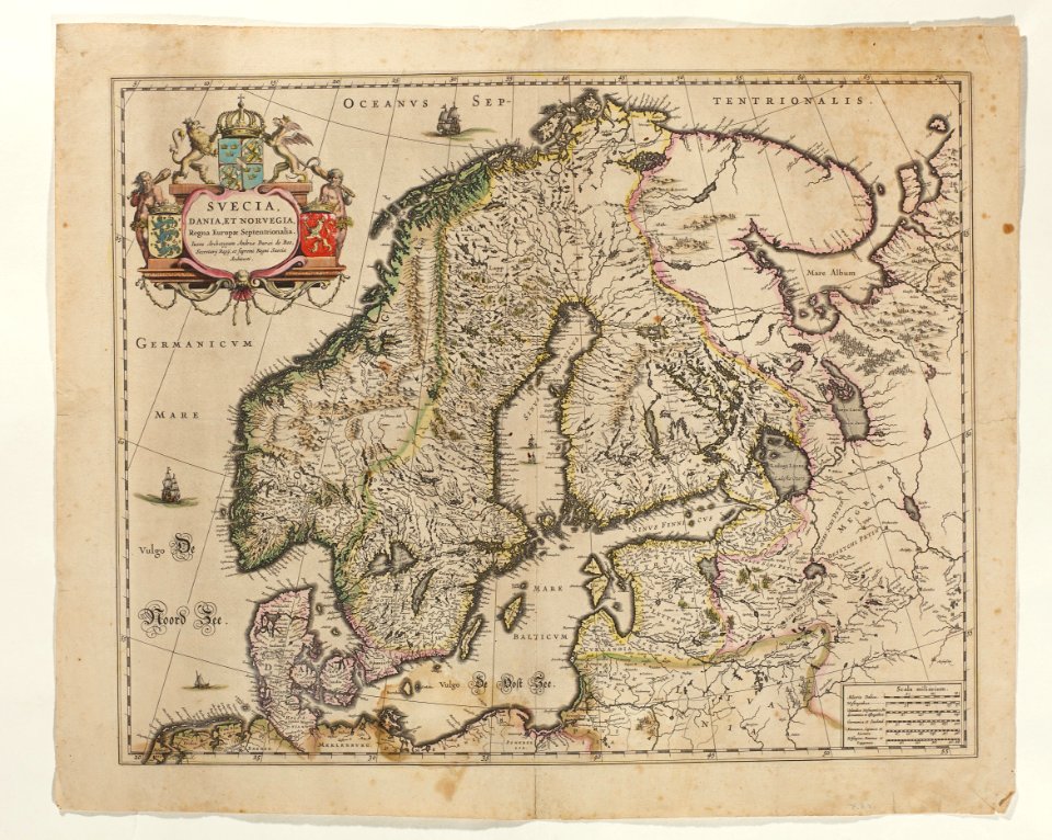
old maps of scandinavia
maps made in the 18th century
maps in skokloster castle
maps made in the 18th century
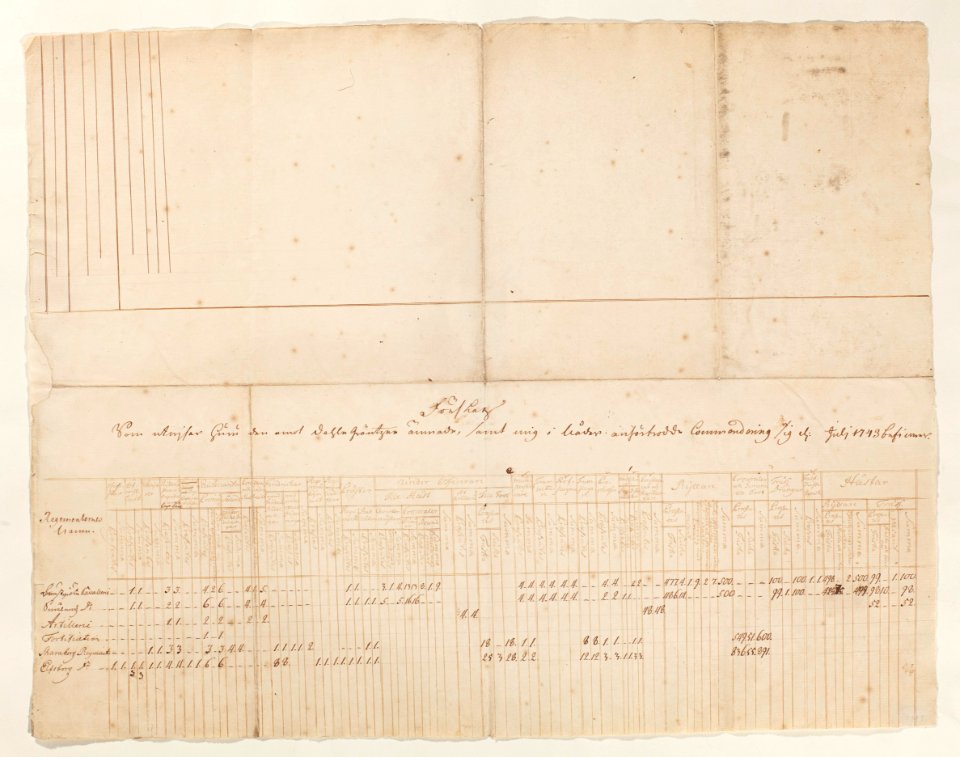
1793
maps made in the 18th century
maps in skokloster castle
maps made in the 18th century
maps by nicolas sanson
maps made in the 18th century
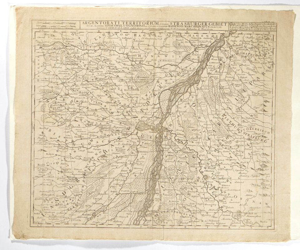
maps by frederick de wit
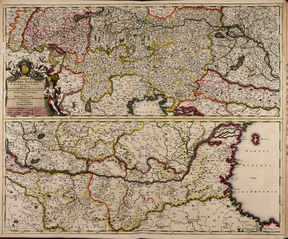
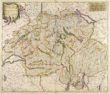
verkehrsdrehscheibe schweiz und unser weg zum meer
maps made in the 18th century
maps made in the 18th century
maps of tartary
maps made in the 18th century
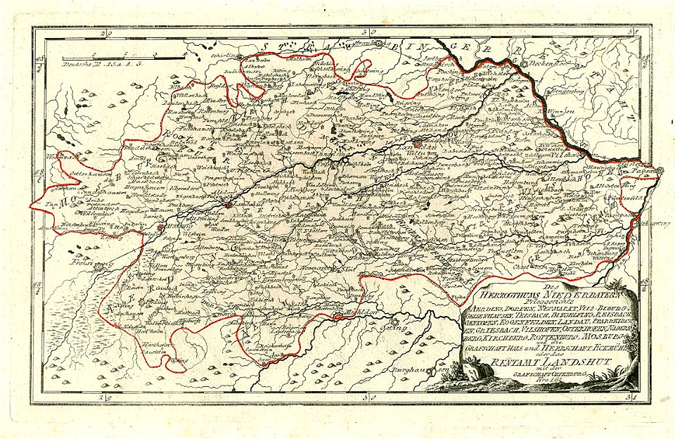
maps of lower bavaria
maps made in the 18th century
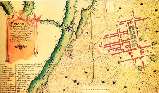
site plans
maps of bremen by c. a. heineken
maps made in the 18th century
maps made in the 18th century
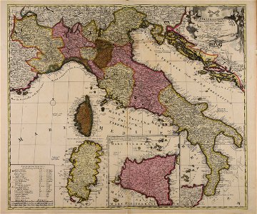
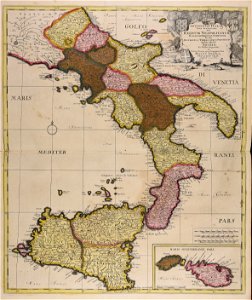
18th-century maps of italy
18th-century maps of the spanish empire
maps made in the 18th century
maps made in the 18th century
gerard valck
maps made in the 18th century
gerard valck
atlantis magni tomus quintus (biblioteca comunale di trento)
maps made in the 18th century
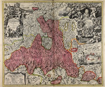
old maps of salzburg (state)
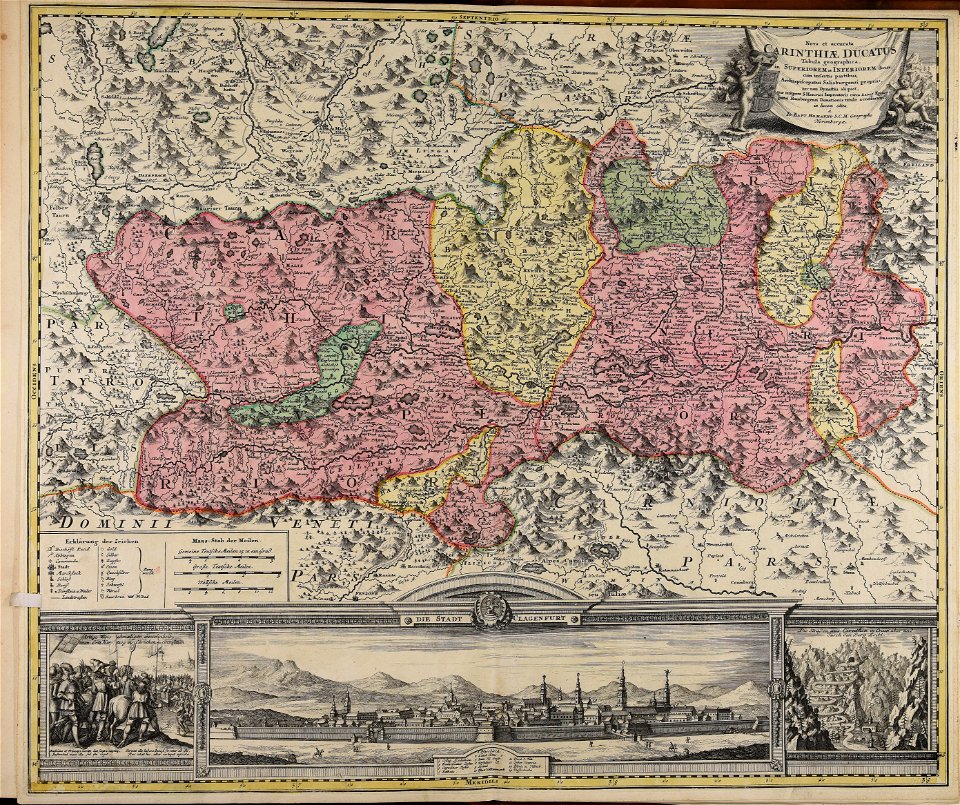
johann baptist homann
maps made in the 18th century
old maps of europe
maps made in the 18th century
gerard valck
maps made in the 18th century
johann baptist homann
maps made in the 18th century
gerard valck
maps made in the 18th century
johann baptist homann
maps made in the 18th century
gerard valck
atlantis magni tomus tertius (biblioteca comunale di trento)
maps made in the 18th century
maps made in the 18th century
johann baptist homann
maps made in the 18th century
old maps of europe
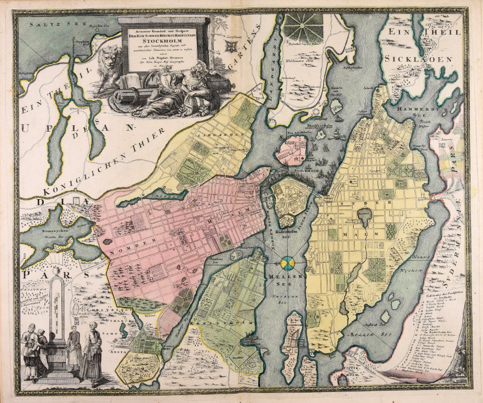
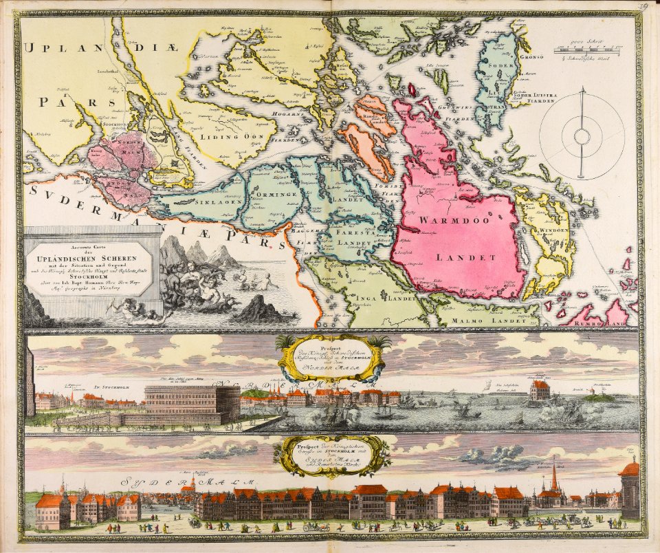
18th-century maps of stockholm
johann baptist homann
maps made in the 18th century
gerard valck
atlantis magni tomus quartus (biblioteca comunale di trento)
maps made in the 18th century
johann baptist homann
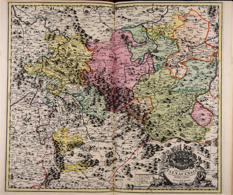
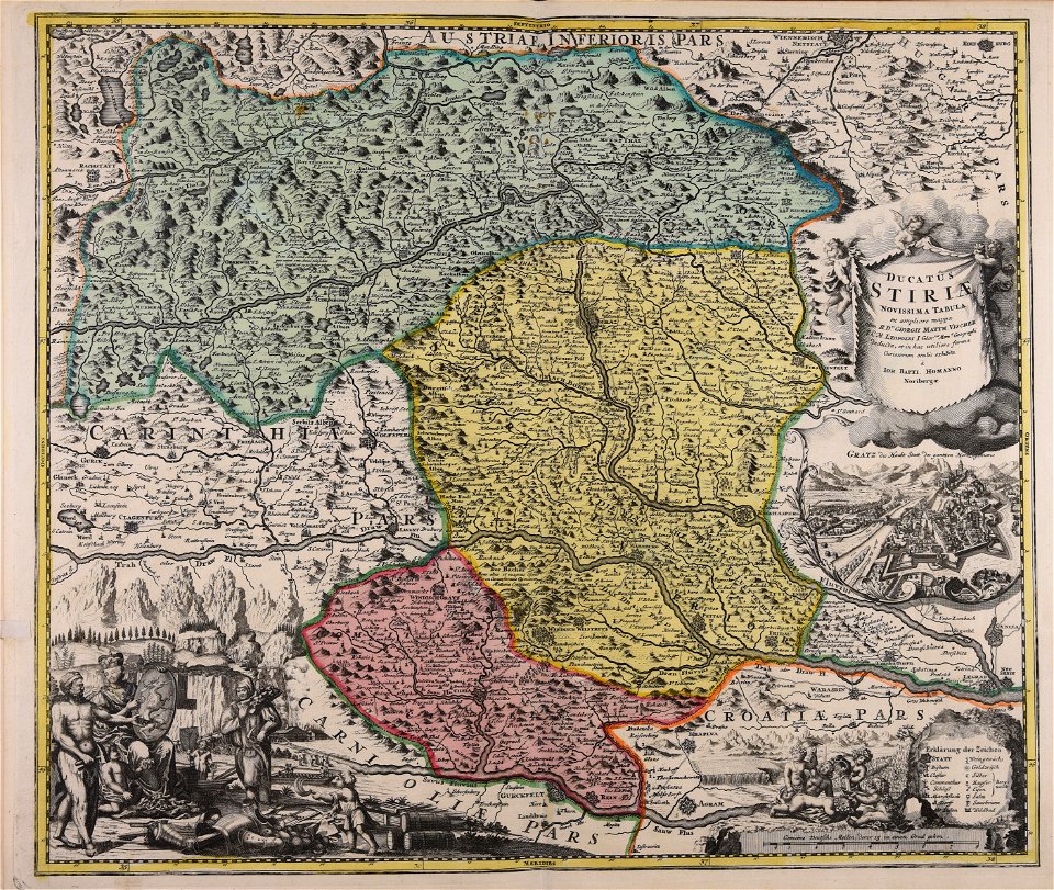
old maps of styria
atlantis magni tomus tertius (biblioteca comunale di trento)
maps made in the 18th century
maps made in the 18th century
johann baptist homann
18th-century maps of stockholm
veduta
maps made in the 18th century
old maps of europe
maps made in the 18th century
johann baptist homann
maps made in the 18th century
1705
maps made in the 18th century
johann baptist homann
maps made in the 18th century
johann baptist homann
maps made in the 18th century
johann baptist homann
maps made in the 18th century
gerard valck
atlantis magni tomus quintus (biblioteca comunale di trento)
maps made in the 18th century
maps made in the 18th century
gerard valck
maps made in the 18th century
gerard valck
maps made in the 18th century
johann baptist homann
maps made in the 18th century
gerard valck
maps made in the 18th century
johann baptist homann
maps made in the 18th century
johann baptist homann
maps made in the 18th century
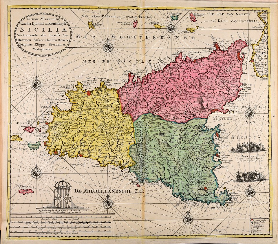
gerard van keulen
maps made in the 18th century
johann baptist homann
maps made in the 18th century
old maps of saxony
self-published work
1776 maps
maps made in the 18th century
old maps of flanders
maps made in the 18th century
gerard valck
maps made in the 18th century
johann baptist homann
maps made in the 18th century
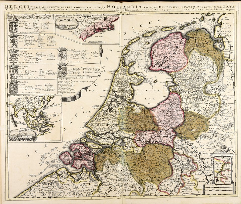
paesi bassi
maps made in the 18th century
gerard valck
maps made in the 18th century
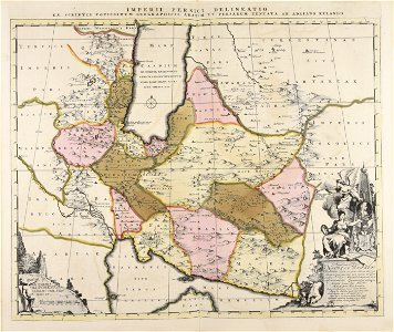
old maps of iran
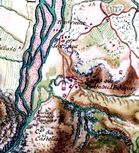
verdon river
old map
old maps of frankfurt am main
johann baptist homann
atlantis magni tomus quintus (biblioteca comunale di trento)
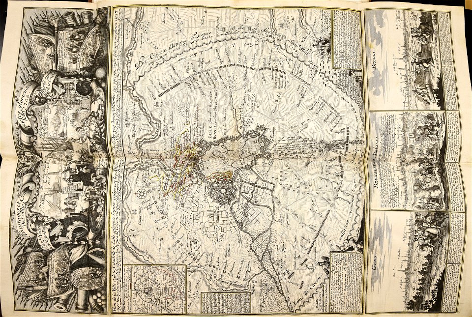
topographic maps made in 18th century
atlantis magni tomus quintus (biblioteca comunale di trento)
maps made in the 18th century
maps made in the 18th century
old maps of europe
old maps of the british isles
maps made in the 18th century
atlantis magni tomus quintus (biblioteca comunale di trento)
maps made in the 18th century
maps made in the 18th century
johann baptist homann
maps made in the 18th century
johann baptist homann
johann baptist homann
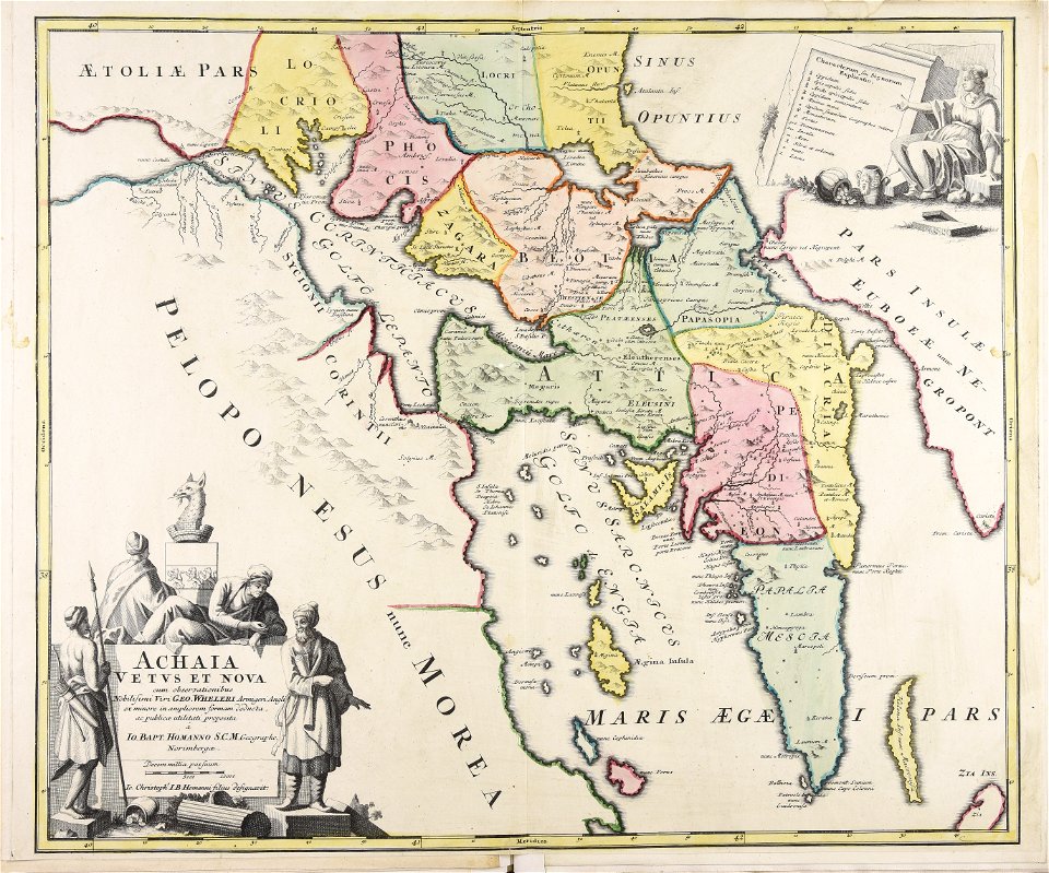
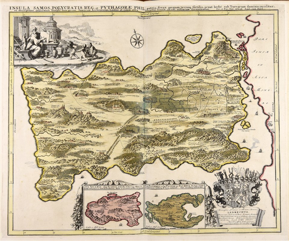
old maps of greece
maps made in the 18th century
johann baptist homann
maps made in the 18th century
maps by pieter schenk (i)
maps made in the 18th century
gerard valck
maps made in the 18th century
johann baptist homann
maps made in the 18th century
johann baptist homann
maps made in the 18th century
belgio
maps made in the 18th century
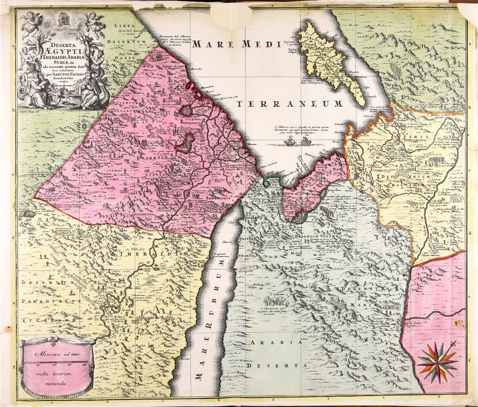
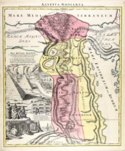
1720s maps of egypt
maps made in the 18th century
gerard valck
maps made in the 18th century
maps by pieter schenk (i)
maps made in the 18th century
gerard valck
johann baptist homann
1720s maps of egypt
maps made in the 18th century
johann baptist homann
maps made in the 18th century
johann baptist homann
maps made in the 18th century
johann baptist homann
maps made in the 18th century
maps by pieter schenk (i)
maps made in the 18th century
gerard valck
atlantis magni tomus quintus (biblioteca comunale di trento)
maps made in the 18th century
maps made in the 18th century
johann baptist homann
maps made in the 18th century
johann baptist homann
maps made in the 18th century
johann baptist homann
maps made in the 18th century
maps by pieter schenk (i)
maps made in the 18th century
gerard valck
maps made in the 18th century
johann baptist homann
1 - 100 of 172
Next page
/ 2